TrailTrack routes

Маршруты с подготовленным описанием, сложностью, покрытием и планированием визита.

Found 1895 routes
Choose a route from the list or view routes on the map.
Bzerpinsky Ledge and Kholodny: the Urushten valley with lake branches
✓ TrailTrack

Bzerpinsky Ledge and Kholodny: the Urushten valley with lake branches

Hiking · Multi-day

Bzerpinsky Ledge, Pseashkha and Maloye Lake link a mountain shelf with the Urushten valley. Separate Dzitaku permission adds several closely spaced lakes. Give each authorised section time rather than hurrying between the different branches.

20.2 km 90 +0 m Moderate
Bashtatavul and Abzagir Kyol: Separate Visits in Dagestan, Chechnya and Urukh
✓ TrailTrack

Bashtatavul and Abzagir Kyol: Separate Visits in Dagestan, Chechnya and Urukh

Bashtatavul and Abzagir Kyol: Separate Visits in · Hiking · Multi-day

Make separate visits to Bashtatavul Spring and Abzagir Kyol Lake, allowing time to notice the Karabudakhkent side. Continue to the distant Chechen and Urukh parts only after arranging their transfers independently.

235.2 km 90 +3474 m Hard
Buron to Khukali: Short Lower Tsey Approach
✓ TrailTrack

Buron to Khukali: Short Lower Tsey Approach

Caucasus · Hiking · One-day

Explore lower Tsey and the surroundings of Khukali at an unhurried pace. The short approach can fit into a wider Ossetian journey once local access and return collection have been checked.

3.2 km 90 +281 m Moderate
Dargavs and Karmadon with a continuation over Saniba Pass to Balta
✓ TrailTrack

Dargavs and Karmadon with a continuation over Saniba Pass to Balta

Caucasus · Hiking · Multi-day

Explore the Dargavs necropolis and Karmadon memorials, then discover the connection between neighbouring valleys at Saniba Pass. Choose the full continuation towards Balta only after confirming current road restrictions.

86.0 km 90 +2395 m Hard
Paradise Meadow to Gular’s moraine via Karaugom
✓ TrailTrack

Paradise Meadow to Gular’s moraine via Karaugom

Caucasus · Hiking · One-day

Explore Karaugom’s moraines and understand Gular’s position on the side of the valley. The outing is meaningful for experienced mountain travellers with confirmed access and suitable current ice conditions.

12.5 km 90 +929 m Hard
Kilpola to Lumivaara: The Lighthouse, Kocherga and Kukhka Shores
✓ TrailTrack

Kilpola to Lumivaara: The Lighthouse, Kocherga and Kukhka Shores

Тур-стоянки, пляж · Boat · Multi-day

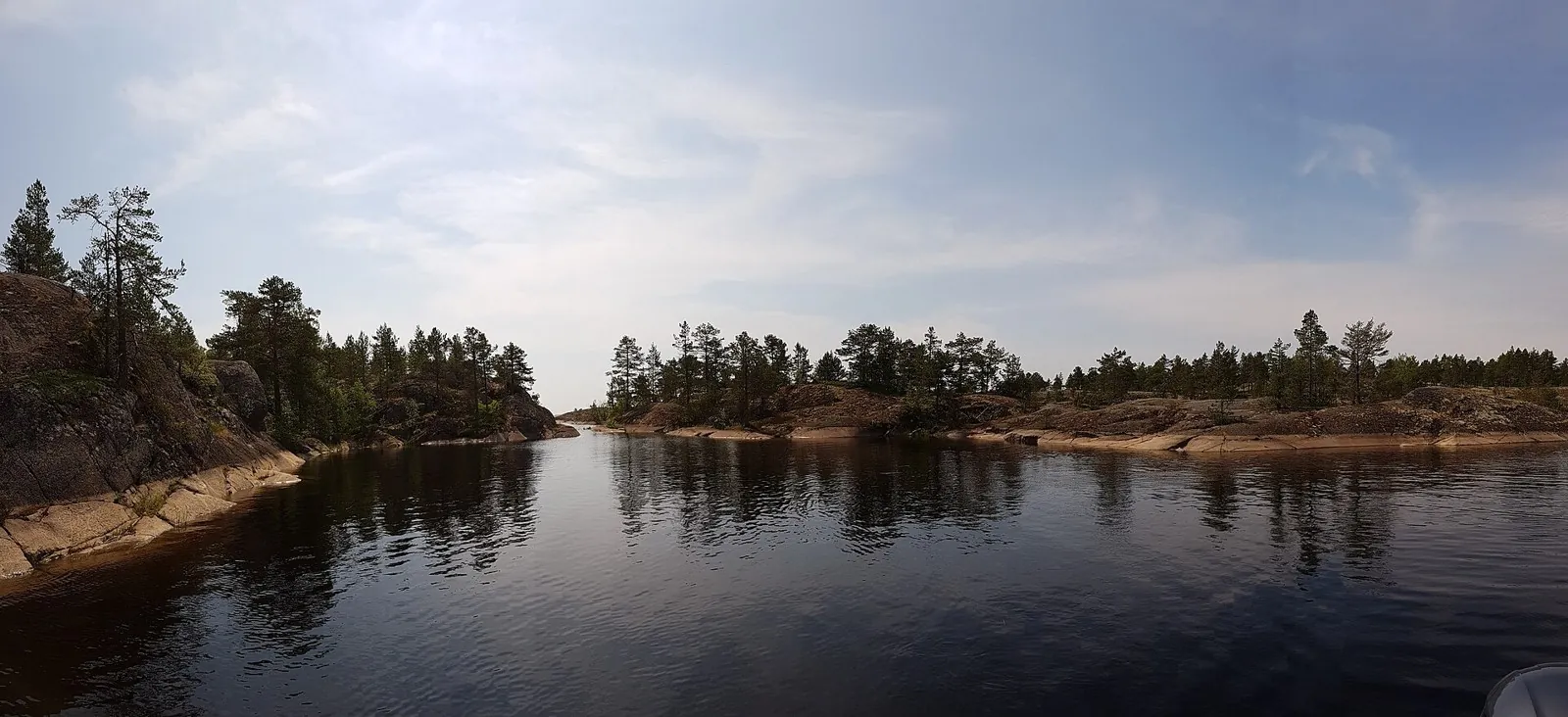
Follow the change from Kilpola island passages to the shores of Kojonsaari and Kukhka, with a separate visit to Muralakhti Bay. The contrasting shores give each stage a distinct destination.

62.5 km 90 +0 m Hard
Eastern Alamedin Slopes: a Preliminary Returning Outing
✓ TrailTrack

Eastern Alamedin Slopes: a Preliminary Returning Outing

Alamedin Gorge trailhead / parking area · Hiking · One-day

Consider a closer exploration of Alamedin’s eastern side with a guide. After checking the real way, the outing can focus on slopes outside the ordinary waterfall visit.

11.5 km 90 +594 m Hard
Upper Gorelnik Descent to Medeu Dam’s Road Side
✓ TrailTrack

Upper Gorelnik Descent to Medeu Dam’s Road Side

Hiking · One-day

Connect upper Medeu’s riverside setting with an exterior view of the specific debris-flow dam. The short section works as an independent addition to an outing whose valley access is already organised.

1.4 km 90 +67 m Easy
Talgar Pass over Four Summits towards Kimasar
✓ TrailTrack

Talgar Pass over Four Summits towards Kimasar

Hiking · One-day

Traverse four specific peaks in northward order from Talgar Pass towards Kimasar. The mountain section provides successive views from actual summits when opening access and descent are independently organised.

18.6 km 90 +1724 m Hard
From Yukon via Dorozhny — a Mountaineering Exit into Kargaly Gorge
✓ TrailTrack

From Yukon via Dorozhny — a Mountaineering Exit into Kargaly Gorge

From Yukon via Dorozhny · Hiking · One-day

For a prepared mountaineering group, leave rocky Yukon summit via Dorozhny Pass and the Kargaly valley. Arrange the ascent and safe summit descent separately; this variant is not presented as an ordinary walk.

14.4 km 90 +59 m Moderate
From Ak-Bulak along the Lower Soldatskaya Gorge Road
✓ TrailTrack

From Ak-Bulak along the Lower Soldatskaya Gorge Road

Bicycle · One-day

Select a small lower-foothill cycle transition beside a specific stream. Include it in an independently arranged local outing, with a separate return and no guaranteed resort services.

2.9 km 90 +0 m Easy
Global Fat Bike Day Winter Circuit: via Tsnyanka
✓ TrailTrack

Global Fat Bike Day Winter Circuit: via Tsnyanka

Hiking · Multi-day

Treat this 34.56 km circular walking route as a complete outing, paying attention to the terrain and changing surface underfoot. Gentle terrain: 175 m of total ascent over 34.56 km. Surface: asphalt plus natural ground. Allow at least 2 days and verify overnight and exit options independently.

34.6 km 90 +175 m Hard
Neman Fords near Uzda: Multi-Day Route
✓ TrailTrack

Neman Fords near Uzda: Multi-Day Route

Зоосад, старая граница · Hiking · Multi-day

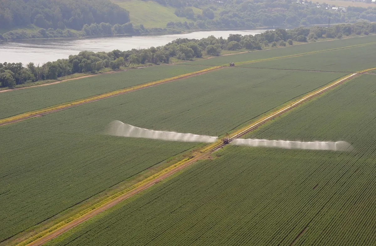
The recorded line is a 65.17 km point-to-point walking route, with woodland is one of the route's main features. Gentle terrain: 50 m of total ascent over 65.17 km. Surface: asphalt plus compacted ground. Allow at least 3 days and verify overnight and exit options independently.

65.2 km 90 +50 m Hard
Lepel Loop: Northern route
✓ TrailTrack

Lepel Loop: Northern route

КП6, Смолевичи, 375км · Bicycle · Multi-day

Expect woodland is one of the route's main features on this 402.19 km circular cycling route. Gentle terrain: 334 m of total ascent over 402.19 km. Surface: asphalt plus compacted ground. Allow at least 6 days and verify overnight and exit options independently.

402.2 km 90 +334 m Hard
Minsk: Pekalin: Cycling Circuit across Open High Ground
✓ TrailTrack

Minsk: Pekalin: Cycling Circuit across Open High Ground

КП1, Обчак, 32км · Bicycle · Multi-day

This is a 130.94 km point-to-point cycling route with a complete recorded line to follow from start to finish. Gentle terrain: 226 m of total ascent over 130.94 km. Surface: asphalt. Allow at least 2 days and verify overnight and exit options independently.

130.9 km 90 +226 m Hard
Roads of Belarus: via Logoisk
✓ TrailTrack

Roads of Belarus: via Logoisk

КП7, Озеры, 700км · Hiking · Multi-day

The interest of this 1201.34 km circular walking route lies in travelling the distance itself: its gradients, surface and rhythm. Gentle terrain: 524 m of total ascent over 1201.34 km. Allow at least 51 days and verify overnight and exit options independently.

1201.3 km 90 +524 m Hard
Slonim to Litovka via Ruzhany: Cycling beside Saints Peter and Paul Church and Chemerovka
✓ TrailTrack

Slonim to Litovka via Ruzhany: Cycling beside Saints Peter and Paul Church and Chemerovka

Bicycle · Multi-day

Link Saints Peter and Paul Church in Ruzhany with the Chemerovka near Litovka on a journey from Slonim. A church stop and a river encounter give individual reasons to pause, while planned stages leave time to enjoy them.

201.3 km 90 +352 m Hard
Gorki: Kamenni: Eastern route
✓ TrailTrack

Gorki: Kamenni: Eastern route

Hiking · One-day

Shore or waterside sections are recorded on the route along this 22 km point-to-point walking route. Gentle terrain: 30 m of total ascent over 22 km. Surface: asphalt plus improved surface. Estimated moving time is about 6.5 hours; add time for pauses and navigation.

22.0 km 90 +30 m Moderate
Belarus White Stork Trail: Shereshevo Bell Tower and Woodland Roads to Pererov
✓ TrailTrack

Belarus White Stork Trail: Shereshevo Bell Tower and Woodland Roads to Pererov

Bicycle · Multi-day

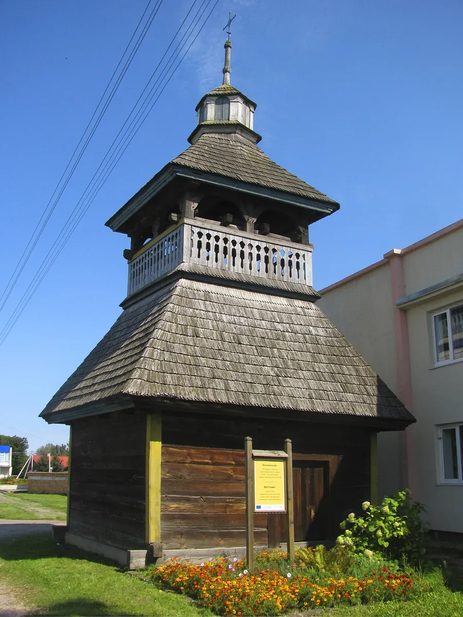
Cycle the Belarusian side of the Podlaskie White Stork Trail, pausing at Shereshevo’s wooden bell tower and Saint Nicholas Church. The Tochnitsa, Levaya Lesnaya and woodland villages give the journey towards Pererov a series of distinctive stops.

111.7 km 90 +67 m Hard
Ozery: Kolomna: A Journey to Calm Water
✓ TrailTrack

Ozery: Kolomna: A Journey to Calm Water

Moscow region · Hiking · Multi-day

Shore or waterside sections are recorded on the route along this 36.92 km point-to-point walking route. Rolling terrain: 381 m of total ascent over 36.92 km. Surface: natural ground plus asphalt. Allow at least 2 days and verify overnight and exit options independently.

36.9 km 90 +381 m Hard
Riekkalansaari from Rigola: Long Circuit through Honkasalo and the Northern Sortavala View
✓ TrailTrack

Riekkalansaari from Rigola: Long Circuit through Honkasalo and the Northern Sortavala View

Run · One-day

Explore a long sporting version linking Riuttavuori, Vahtimyaki on Honkasalo and a separate northern Sortavala view. Its western and northern woodland return distinguishes it from shorter outings focused on the southern rocks.

56.6 km 89 +0 m Hard
Novichok: the Eastern Forest Mountain-Bike Descent
✓ TrailTrack

Novichok: the Eastern Forest Mountain-Bike Descent

Bicycle · One-day

Novichok has a clear sporting purpose: an introduction to a wooded mountain descent before progressing to harder courses. Its turns and bicycle control offer focused practice within a real bike park.

6.3 km 89 +0 m Easy
Terrenkur 2 B: Thuja Alley and the Long Circuit from the Lower Park
✓ TrailTrack

Terrenkur 2 B: Thuja Alley and the Long Circuit from the Lower Park

Caucasus · Hiking · One-day

Thuja Alley gives the walk a specific destination, while the longer woodland section reveals the park beyond its busiest lower paths. Retracing the approach towards the town suits a day ending on a familiar park side.

12.8 km 89 +0 m Hard
Seven-Colour and Two Upper Lakes: The Lower-Bridge Ascent along Bolshaya Dukka
✓ TrailTrack

Seven-Colour and Two Upper Lakes: The Lower-Bridge Ascent along Bolshaya Dukka

Hiking · One-day

Pause at Seven-Colour for the water itself: changing light and viewing angles alter its appearance. The two upper lakes provide a second destination and show how the larger basin fits into the surrounding terrain. Devote the day to one valley without confusing Bolshaya Dukka with the neighbouring Rybka and Arkasarskoye outing.

11.5 km 89 +0 m Moderate
Back Page 48 of 79 Next