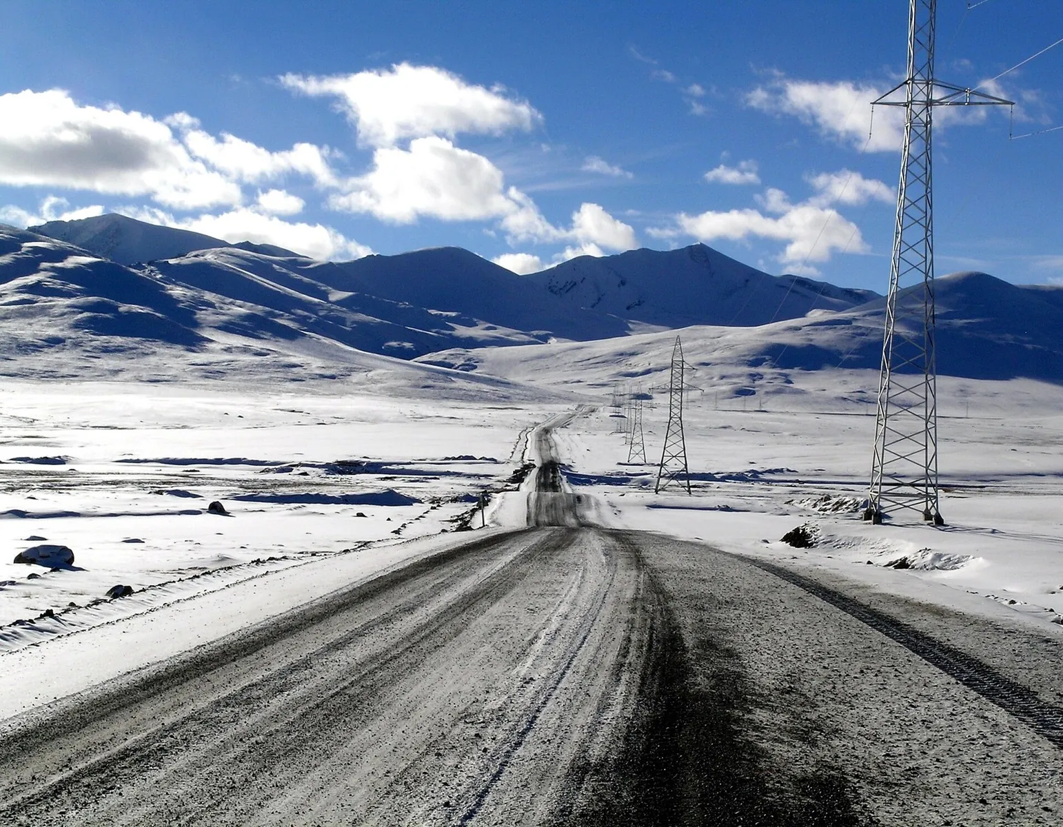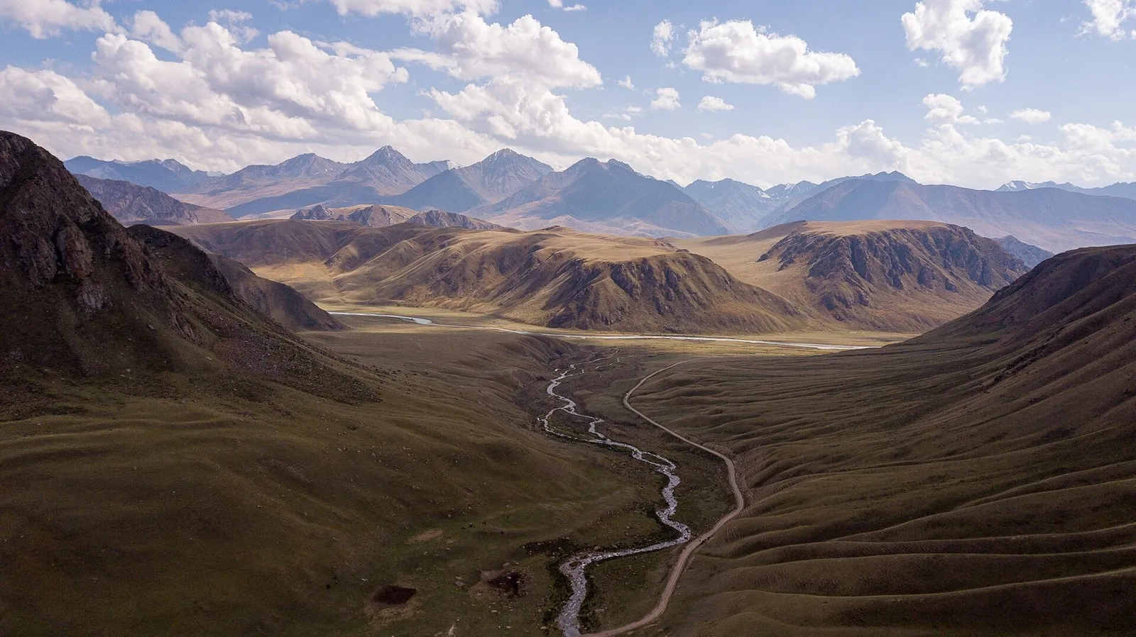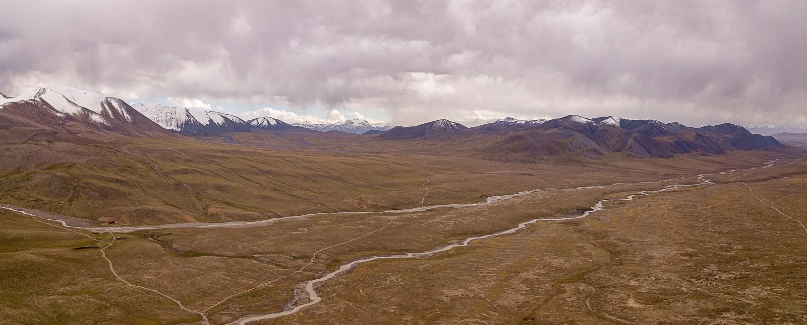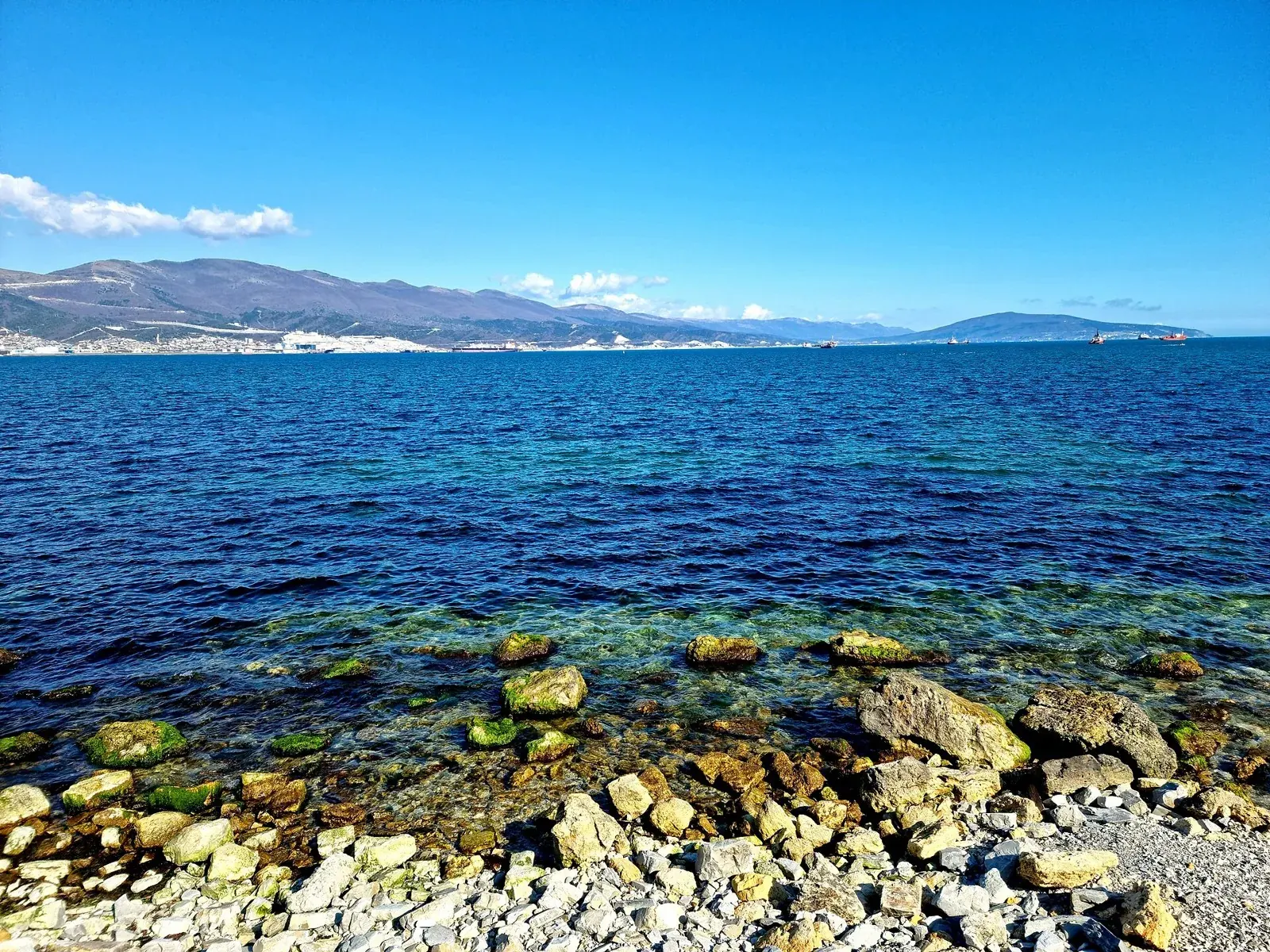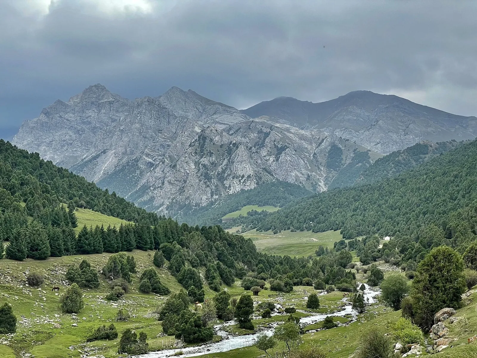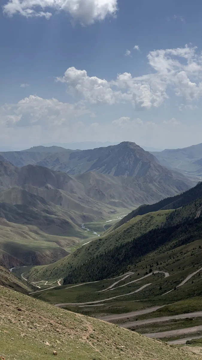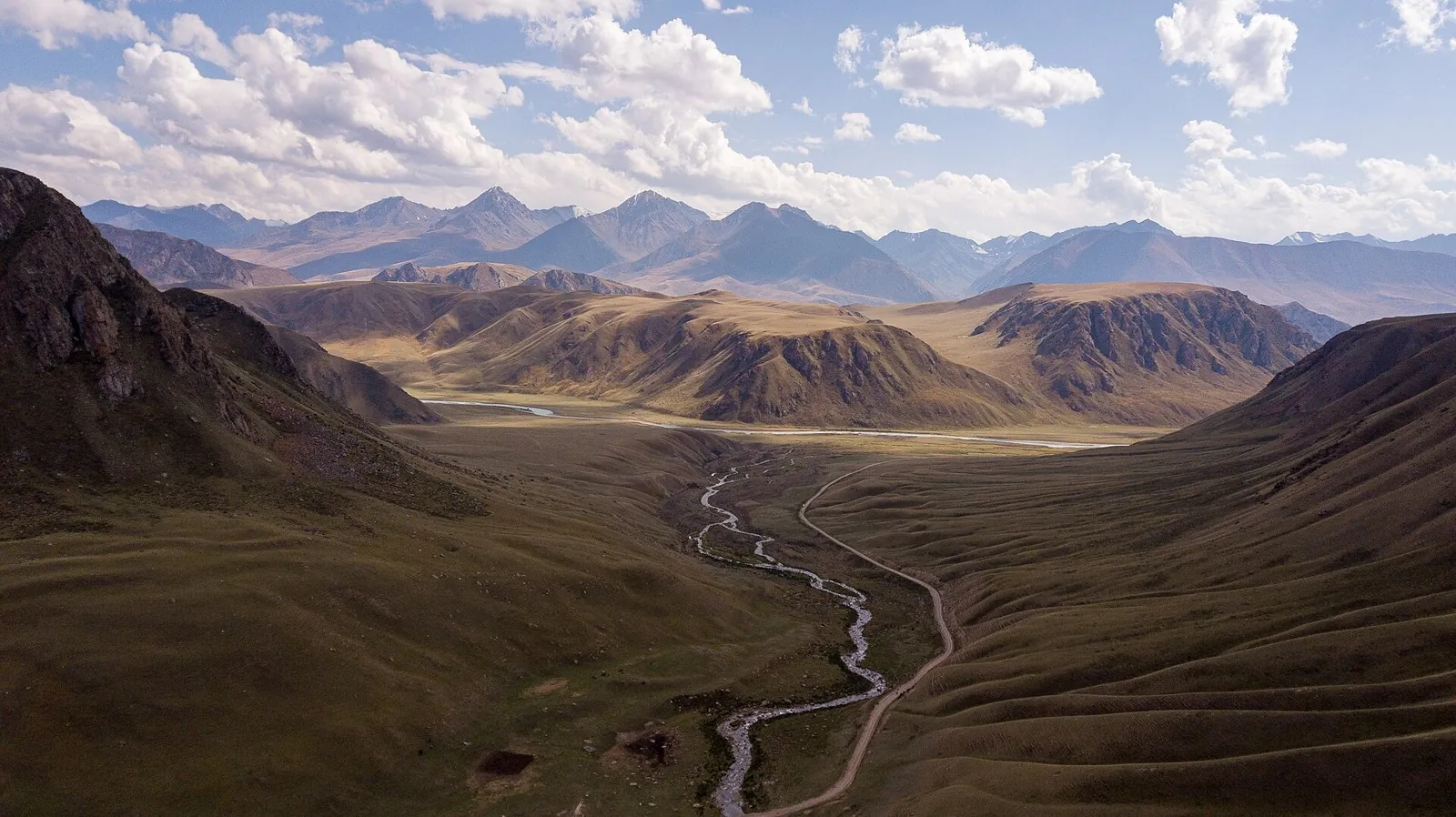


From Jinalach over the Mountains to the Smaller Naryn
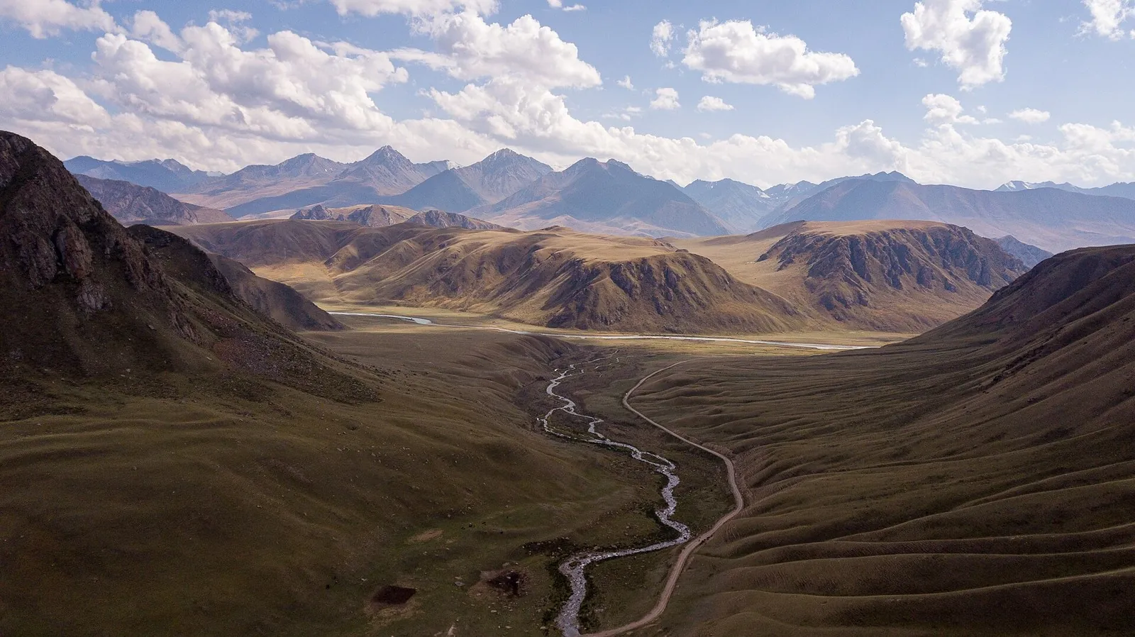
Connect the Jinalach valley with the Smaller Naryn through a mountain passage. Two particular river sections reveal how t…

Route catalog
Choose a route by mood: a short walk, a weekend hike, or a bike track. Map, distance, and difficulty are always at hand.
We will find routes that match your interests, location and conditions
Found 1917 routes
Curated: 1895 · Community tracks: 22
Connect the Jinalach valley with the Smaller Naryn through a mountain passage. Two particular river sections reveal how t…
Walk high Arabel beside the named Ittyshi, Kichi-Maitor and Arabel-Suu watercourses and discover Naryn headwater country.…
Follow Burkhan, its tributaries and Bolgart to see the river system feeding Small Naryn take shape. It suits a substantia…
Follow Ashu-Kashka-Suu valley and cross the main range through Kashka-Suu Pass towards the Arabel syrts. Arrange the appr…
Plan this 3.12 km point-to-point walking route from its verified distance, gradients and recorded surface rather than unc…
The route covers about 2.1 km as a multi-part hiking route, with Besqaynar as the most useful starting reference. The ro…
Mapped stops at Museum Ya. Kolasa. F1, obzorka add clear points of interest along the way. Near the water: shore or water…
The recorded line is a 2.02 km point-to-point cycling route, with shore or waterside sections are recorded on the route. …
Expect shore or waterside sections are recorded on the route on this 400.49 km point-to-point cycling route. Gentle terra…
Shore or waterside sections are recorded on the route along this 301.34 km point-to-point cycling route. Gentle terrain: …
This 383.54 km point-to-point walking route is shaped by its terrain, surface and pace rather than a single landmark. Gen…
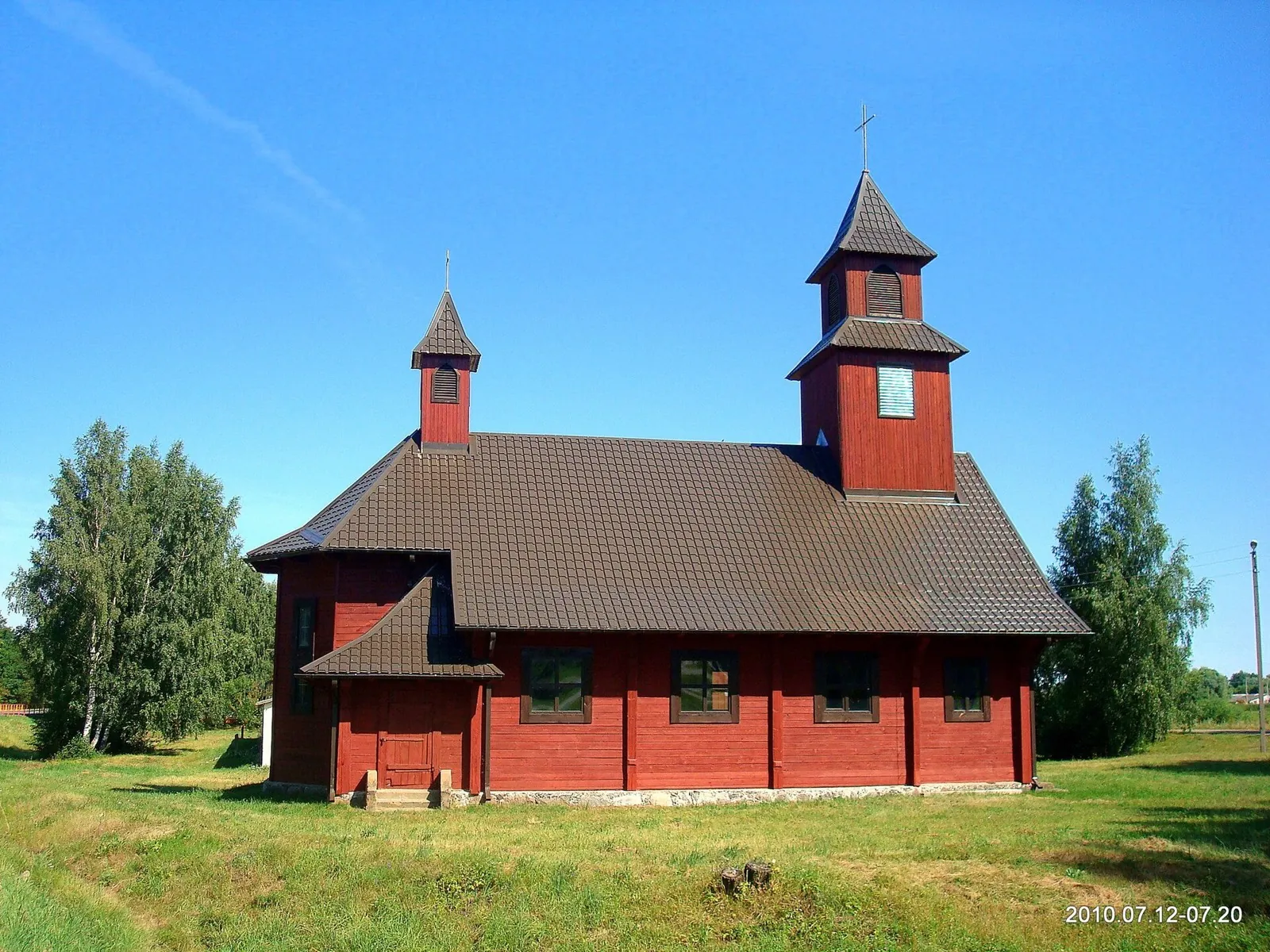
Discover Mitskevichi through its rural street and station building, which appears in a Belarusian architectural field cat…
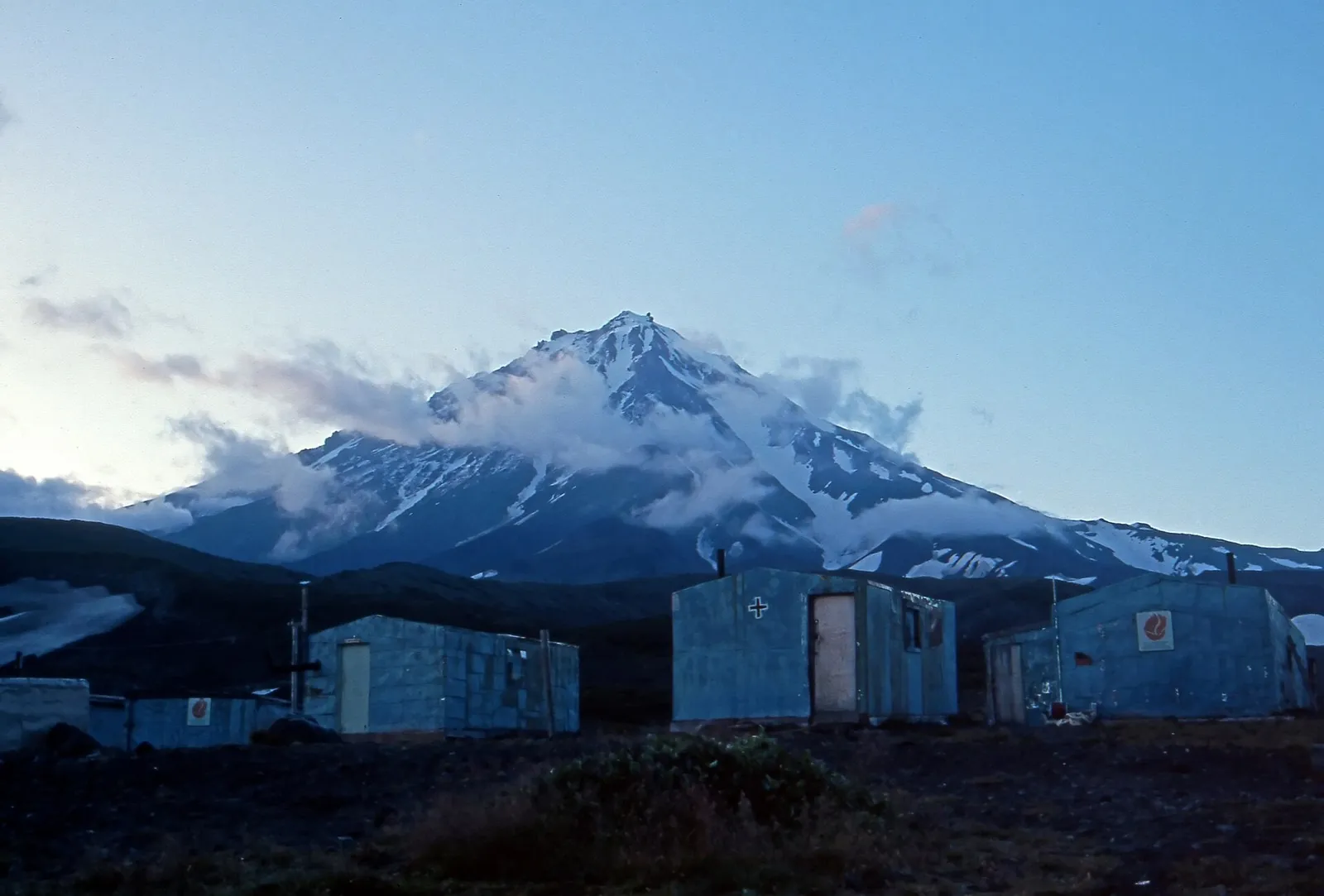
Approach the stone Camel from the Avachinsky ranger-station side and view two volcanoes across open mountain terrain. The…
See the lower Nalycheva valley give way to the Ostrovnaya river side during an agreed winter journey. The appeal lies in …
See Galyamaki’s winter side and follow mountain approaches into the Malaya Romanovka valley, then the woodland road towar…
Visit Ala-Archa’s woodland memorial and discover lower Adygene, where the outing changes character between trees, meadow …
See Shymbulak’s exterior and the specific Medeu Dam on independently organised valley cycling sections. Several distinct …
For the Kyzyl-Kasa crossing from the Kyrgyz-Ata system towards Ak-Töbe. The saddle reveals the divide between neighbourin…
Cross Terskey Torpok and reach Son-Kul’s southern shore. The journey connects two different waterside settings, a river v…
Walk a substantial stretch of Archaly Valley and cross Kyzylbel Pass towards Burkhan. It introduces lesser-known Inner Ti…
Ride from Brest toward Braslav and Polotsk before continuing to Orsha, comparing several regions during one independent j…
Plan this 3.66 km point-to-point walking route from its verified distance, gradients and recorded surface rather than unc…
The recorded line is a 65.17 km point-to-point walking route, with woodland is one of the route's main features. Gentle t…
Expect woodland is one of the route's main features on this 37.83 km point-to-point walking route. Gentle terrain: 45 m o…
Pick where to start
Share a trip