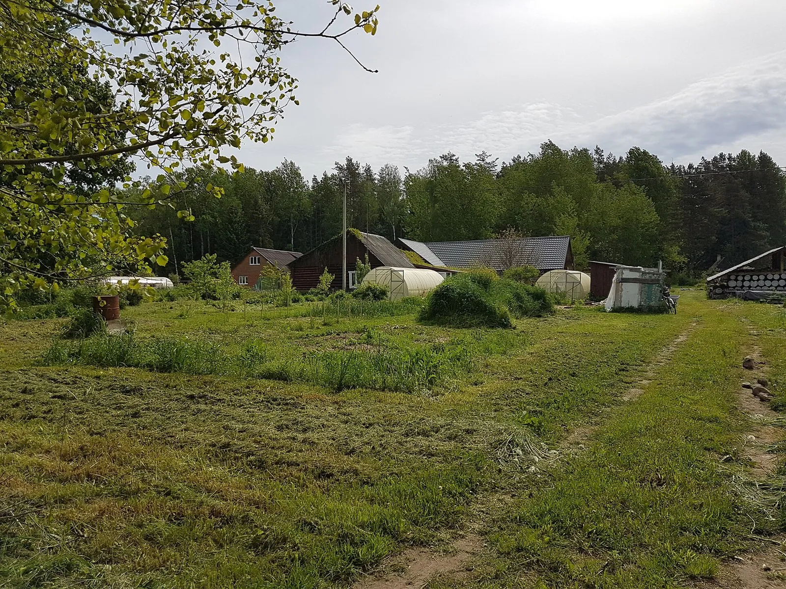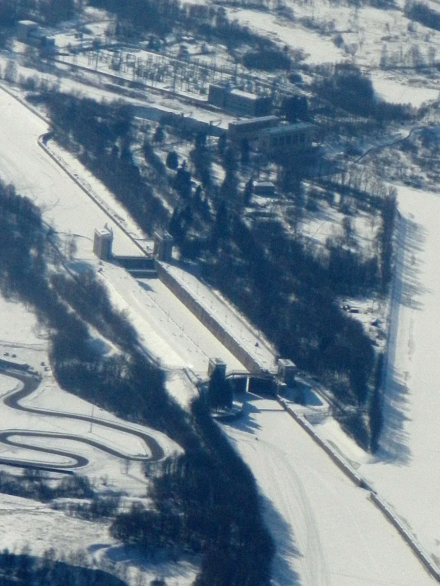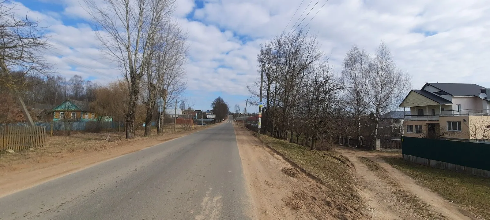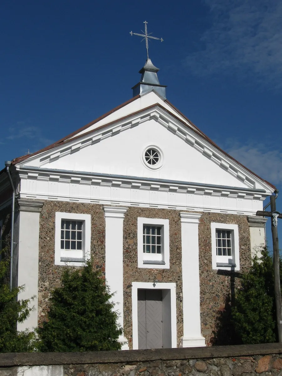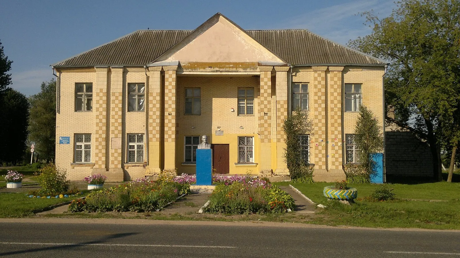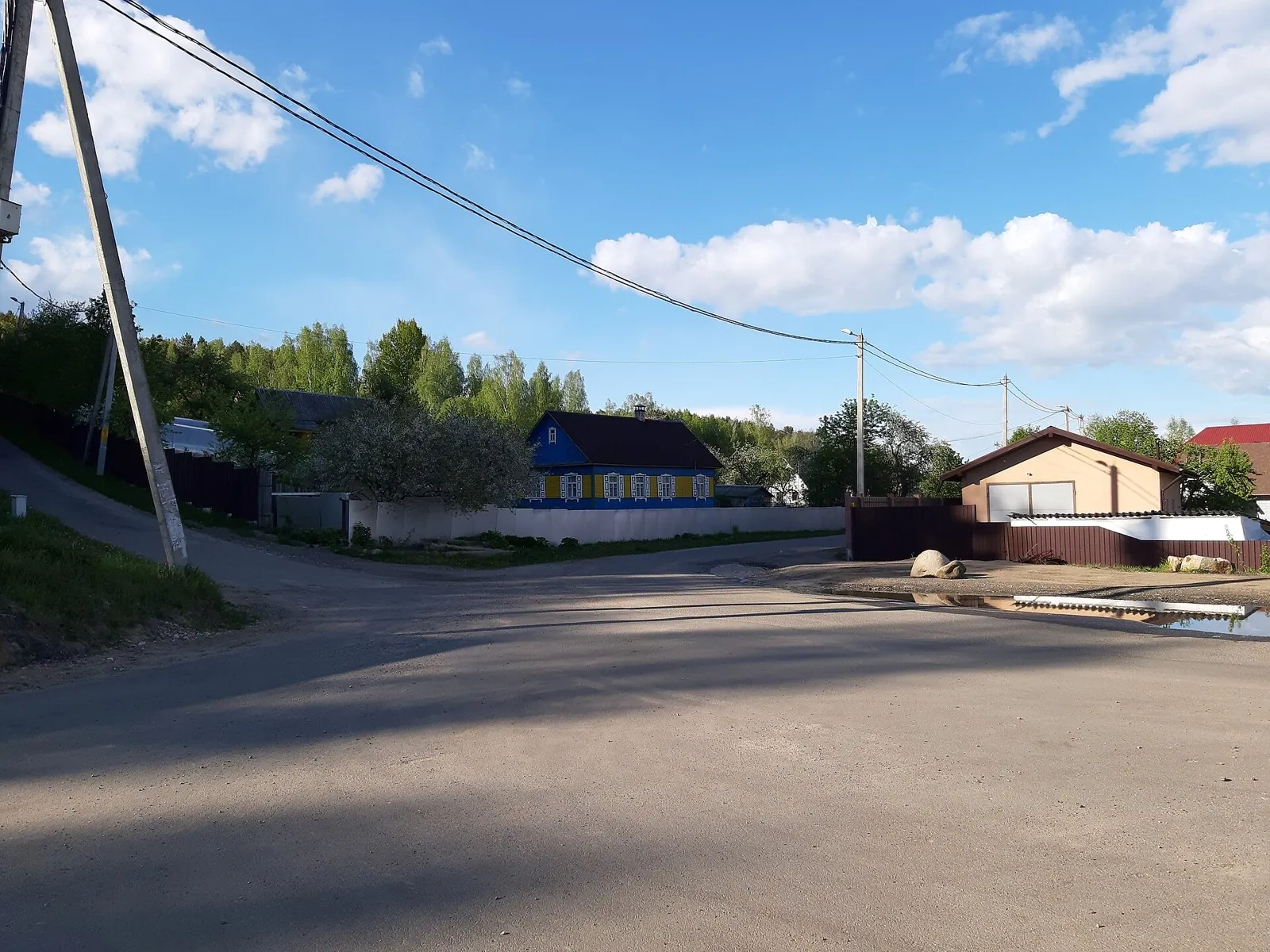


Raubichi: Silichi Winter Ski Route: via Logoisk
The interest of this 48.35 km circular cross-country skiing route lies in travelling the distance itself: its gradients, …

Route catalog
Longer tracks for a strong day or a multi-day trip.
Найдём подходящие маршруты по вашим интересам, локации и условиям
Подборка TrailTrack
This collection brings together TrailTrack routes connected with Long routes. Use it when you want to compare routes by distance, difficulty, region, route type and access before opening a detailed route page.
Each route card includes a map, key metrics, description and GPX/KML. Check weather, season and logistics before heading out.
Found 864 routes
Curated: 864 · Community tracks: 0
The interest of this 48.35 km circular cross-country skiing route lies in travelling the distance itself: its gradients, …
For three neighbouring Sayan landscapes: the Olon-Nur lakes, the lava terrain of the Valley of Volcanoes and open mountai…
See Vasilyevskoye from its suspension crossing, pause near the Kryukovo spring and reach the woodland Gnilyusha on the no…
The Patriarch Oak and Queen Pine reveal two different veteran trees, while the estate approach offers a separate storyboo…
The variant reveals how long club ski outings linked Morozki surroundings with the Yakhroma valley. The bridge near Khlyb…
Expect woodland is one of the route's main features on this 199.57 km point-to-point cycling route. Gentle terrain: 210 m…
Follow a western woodland arc with two separated Klubish encounters, then add the southern return before continuing towar…
This is a 404.43 km circular cycling route. Woodland is one of the route's main features. Gentle terrain: 273 m of total …
The recorded line is a 107.06 km point-to-point walking route, with mapped viewpoints occur along the way. Strong mountai…
This 1262.63 km point-to-point walking route is shaped by its terrain, surface and pace rather than a single landmark. Al…
Explore two different Sayan settings: the pass valleys of the Arlyk-Gol and Barun-Ospa, then the confined Kitoy and Shuma…
Discover Vityaz’s winter surroundings and choose a longer woodland outing than the ordinary short rock approach. Separate…
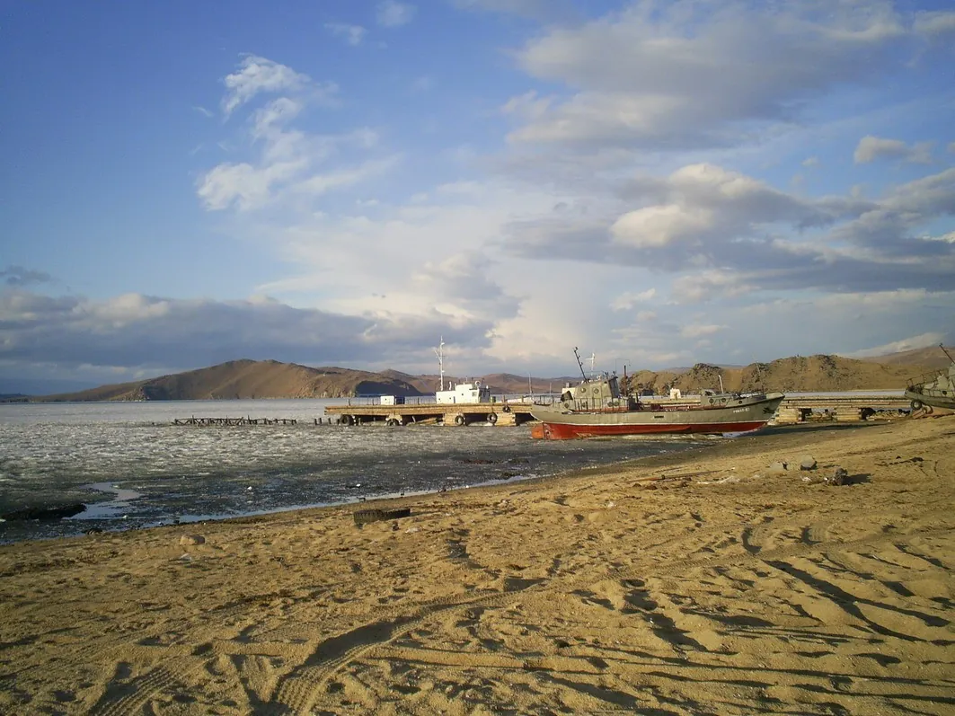
With an agreed safe ice plan, discover western Baikal from the lake’s open space, observe coastal headlands and reach mai…
Explore the former Moscow-region Sotnya through its water boundaries: the Klubish on the western approach, the canal at M…
The track links Lake Bezdonnoye into one continuous outdoor outing. Forest sections: woodland is one of the route's main …
This 89.7 km point-to-point walking route passes through terrain where woodland is one of the route's main features. Gent…
The recorded line is a 293.46 km point-to-point walking route, with mapped viewpoints occur along the way. Rolling terrai…
This 25.95 km point-to-point walking route is shaped by its terrain, surface and pace rather than a single landmark. Roll…
Spend an active day travelling from a suburban railway station to the Moscow metro, with different places to discover alo…
Spend a day in the woods without returning along the same road. The Ostrovnya shapes the main section, while the Nakhavny…
Link Meshchersky Pond, Skolkovo, Novaya Tryokhgorka and Romashkovo Forest in one substantial run. Nature and urban cultur…
Pause at Holy Trinity Church, Saint Michael the Archangel Church and its Gate Bell Tower in Porozovo. The Ross River adds…
Shore or waterside sections are recorded on the route along this 206.57 km point-to-point cycling route. Gentle terrain: …
The recorded line is a 155.72 km point-to-point walking route, with woodland is one of the route's main features. Gentle …
Pick where to start
Share a trip