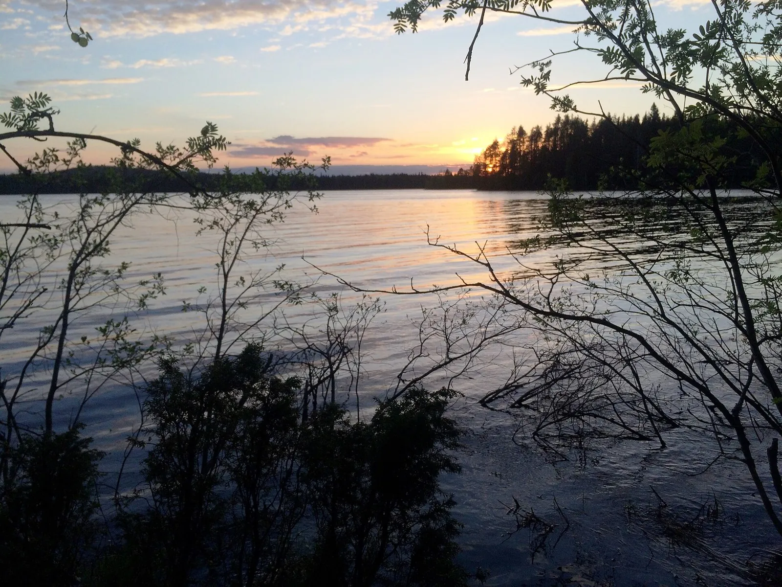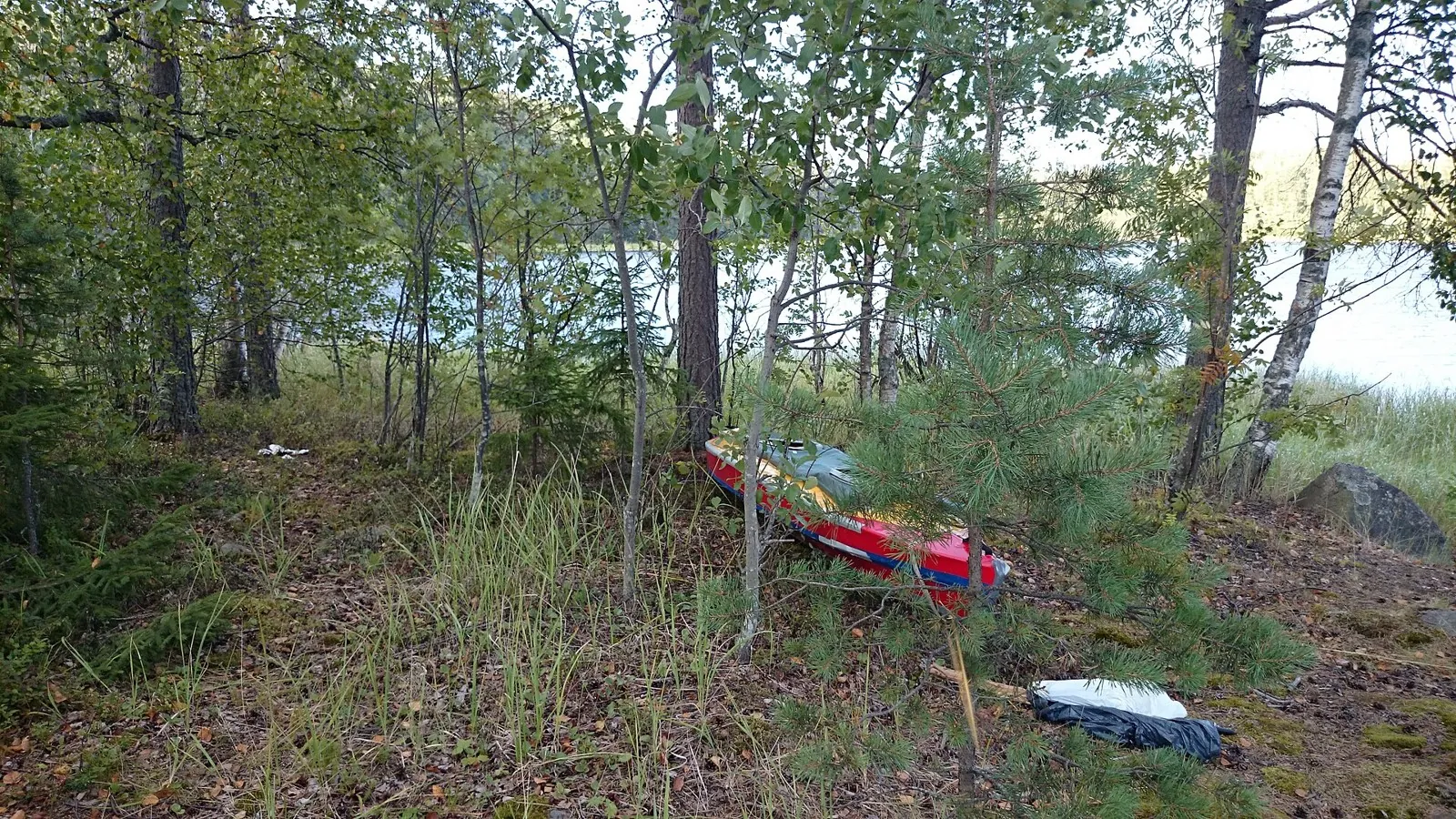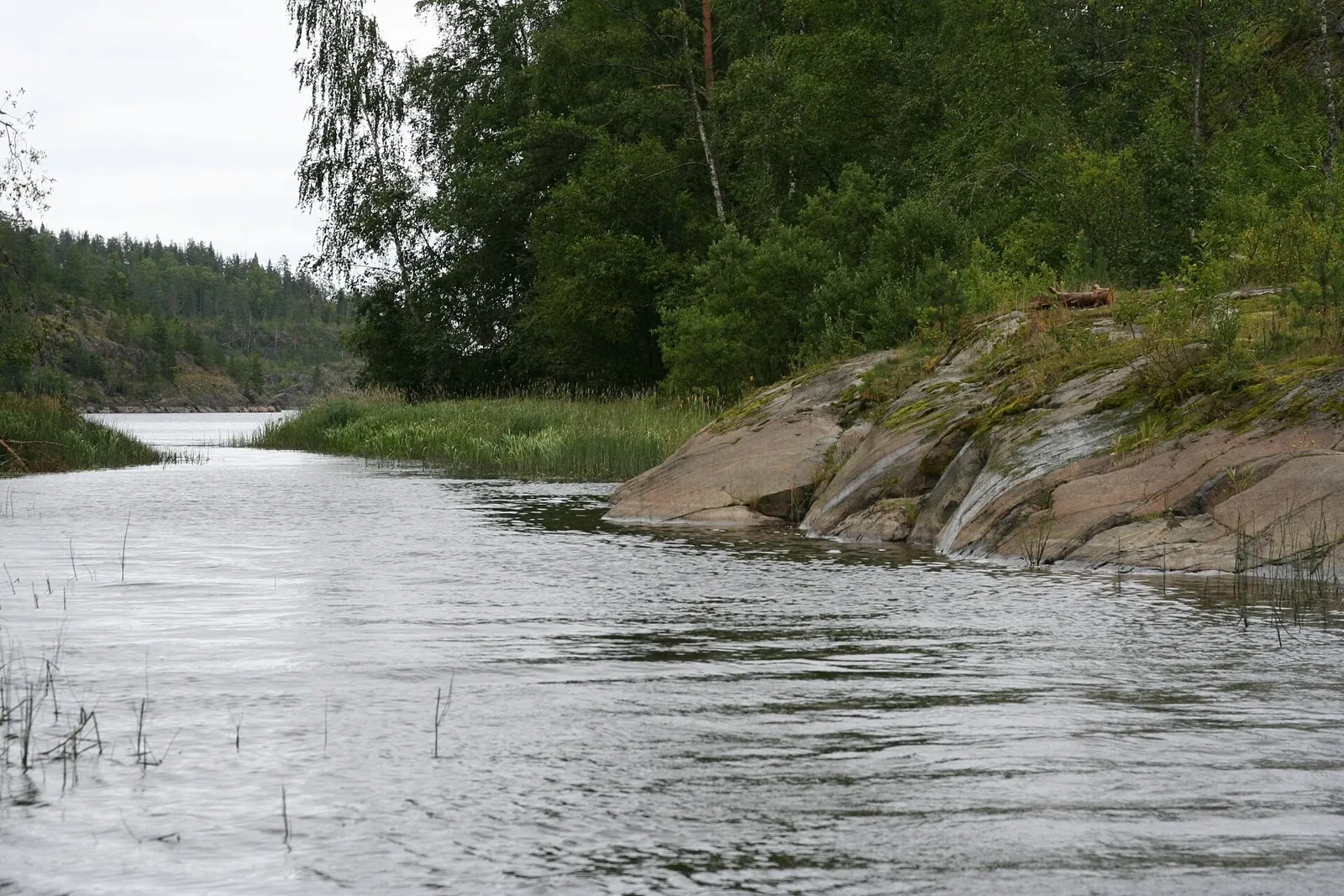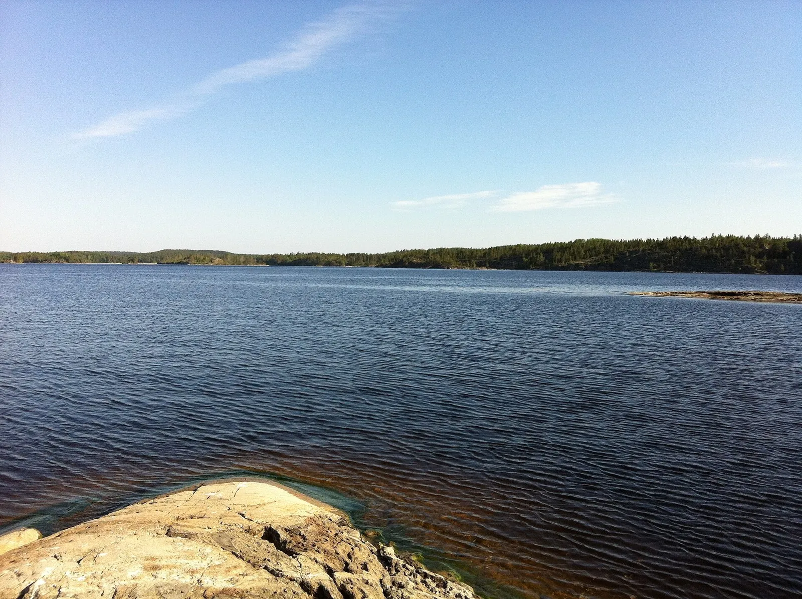


Urik below Khara-Zhalga: Shore Portages to the Bolshaya Belaya
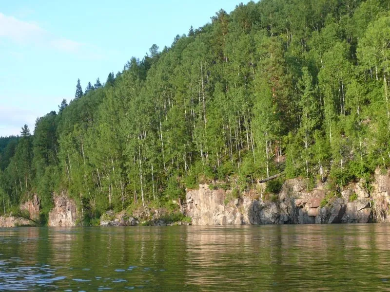
Combine the shore bypass beside Ambartagol canyon, a shore view of Urik Waterfall and the mouths of several distinct trib…

Route catalog
Boat: routes on TrailTrack: distance, difficulty, elevation gain, map, description, and GPX/KML for route planning.
Найдём подходящие маршруты по вашим интересам, локации и условиям
Found
Curated: 12 · Community tracks: 0
Combine the shore bypass beside Ambartagol canyon, a shore view of Urik Waterfall and the mouths of several distinct trib…
Explore the Zhombolok through its own landmarks: the S-shaped rapids, Billiard, Vint, Catapult and Touch Me Not. Rocky pa…
Follow Kilpola’s island shores to Kurkiniemi Lighthouse and Yesusaret. This more focused alternative to the extended Lado…
This 396.3 km point-to-point water route passes through terrain where mapped viewpoints occur along the way. Noticeable c…
Travel real Kizir water sections and see the river valley from its channel. Sustained changes of bends, wooded banks and …
Experience a northern waterway’s rhythm: leave a noisy river section for open lake water, then encounter rapids again amo…
Follow the change from Kilpola island passages to the shores of Kojonsaari and Kukhka, with a separate visit to Muralakht…
Reach Putsaari and follow its shore from the water, contrasting the distant island with the skerry passages near Heposalo…
See actual Ladoga skerry islands and bays from the water. Kumolanlahti provides a separate loop among small islands, whil…
Paddle from Kilpola towards the southern islands and the shore below Rullalahdenvuori. The recognisable island passages p…
Approach Kojonsaari from the water and compare two different island directions. The principal passage explores western Ku…
See northern and eastern Kukhka and pass Lammasaari and Loukiosaari. The separate southern branch offers another angle an…
Pick where to start
Share a trip