TrailTrack routes

Маршруты с подготовленным описанием, сложностью, покрытием и планированием визита.

Found 1895 routes
Choose a route from the list or view routes on the map.
Ara-Oshey (may 2011 g.: Walking Route
✓ TrailTrack

Ara-Oshey (may 2011 g.: Walking Route

Hiking · Multi-day

The recorded line is a 87.73 km point-to-point walking route, with mapped viewpoints occur along the way. Noticeable climbing: 2977 m of total ascent over 87.73 km. Allow at least 5 days and verify overnight and exit options independently.

87.7 km 101 +2977 m Hard
Trail from Zhalgi to Perevalu Novogodnemu
✓ TrailTrack

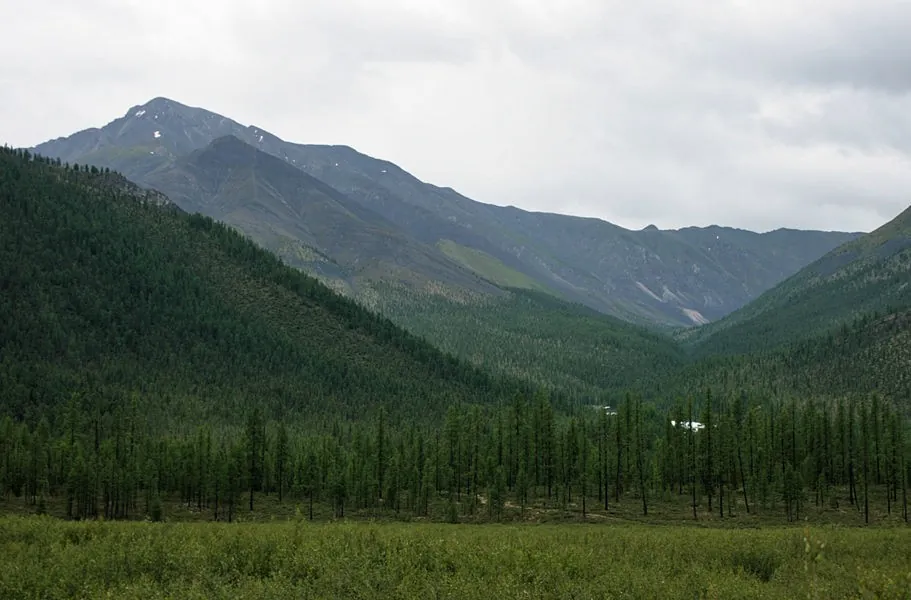
Trail from Zhalgi to Perevalu Novogodnemu

Hiking · One-day

Expect mapped viewpoints occur along the way on this 3.95 km point-to-point walking route. Noticeable climbing: 151 m of total ascent over 3.95 km. Estimated moving time is about 1.4 hours; add time for pauses and navigation.

4.0 km 101 +151 m Easy
Around Trail Canyon: Deep in a Stone Landscape
✓ TrailTrack

Around Trail Canyon: Deep in a Stone Landscape

Hiking · One-day

Expect shore or waterside sections are recorded on the route on this 4.45 km circular walking route. Strong mountain relief: 232 m of total ascent over 4.45 km. Surface: natural ground plus mud and grass. Estimated moving time is about 1.7 hours; add time for pauses and navigation.

4.5 km 101 +232 m Easy
Around Trail Solnechnyy Circuit
✓ TrailTrack

Around Trail Solnechnyy Circuit

Hiking · One-day

Treat this 11.94 km circular walking route as a complete outing, paying attention to the terrain and changing surface underfoot. Noticeable climbing: 340 m of total ascent over 11.94 km. Surface: natural ground. Estimated moving time is about 4.1 hours; add time for pauses and navigation.

11.9 km 101 +340 m Moderate
Voynovo: Zapolitsy
✓ TrailTrack

Voynovo: Zapolitsy

Moscow region · Hiking · Multi-day

The interest of this 56.81 km point-to-point walking route lies in travelling the distance itself: its gradients, surface and rhythm. Gentle terrain: 76 m of total ascent over 56.81 km. Allow at least 3 days and verify overnight and exit options independently.

56.8 km 101 +76 m Hard
A Short Run beside the Upper Samorodinka
✓ TrailTrack

A Short Run beside the Upper Samorodinka

Moscow region · Run · One-day

Fit a small training session into Yugo-Zapadny Forest Park and notice the upper Samorodinka valley hidden within a familiar Moscow neighbourhood.

1.5 km 101 +25 m Easy
Zvenigorod to Polushkino: Sima Quarry and a Setun Pause
✓ TrailTrack

Zvenigorod to Polushkino: Sima Quarry and a Setun Pause

Moscow region · Run · One-day

Combine a woodland run to Sima with an independent continuation to Polushkino. Nakhavnya, Ostrovnya and Setun provide this journey’s own sequence of watercourses, while Sima’s bog character distinguishes it from an ordinary leisure pond. Enjoy the change from Zvenigorod’s suburban side to the longer forest passages heading south.

33.2 km 101 +607 m Hard
Royal Meadow: the Hermit Oak and Tatarskoye Bagno
✓ TrailTrack

Royal Meadow: the Hermit Oak and Tatarskoye Bagno

Bicycle · One-day

The Hermit Oak, Tatarskoye Bagno and Turlyuy give the woodland individual identities. Compare an old tree’s shape, a marshy hollow and traces of a forest road, then return to Kamenyuki without arranging a different finish.

10.0 km 101 +71 m Easy
Gorge to Akhun: Woodland Ascent to the Tower Exterior
✓ TrailTrack

Gorge to Akhun: Woodland Ascent to the Tower Exterior

Bicycle · One-day

The woodland path links the upper gorge side with Akhun Tower’s exterior. This distinct direction supports a prearranged territorial visit with a clear final architectural stop.

2.2 km 100 +0 m Easy
Fedoseyev from Milky Way: The Path of Time Ascent
✓ TrailTrack

Fedoseyev from Milky Way: The Path of Time Ascent

Hiking · One-day

Climb from a resort platform to a real mountain pass and look beyond the Abishira-Akhuba ridge. The lakes across it are part of the panorama rather than extra destinations on this outing. It suits walkers who have tried nearby paths and want a more substantial climb with a clearly defined lift-side start.

4.0 km 100 +0 m Easy
Lower Ala-Archa Western Slopes: a Preliminary Walking Plan
✓ TrailTrack

Lower Ala-Archa Western Slopes: a Preliminary Walking Plan

Hiking · One-day

Explore the western side valleys of lower Ala-Archa after independently checking the way. The direction offers an opportunity to study the terrain with a guide who can establish a safe passage.

4.2 km 100 +825 m Hard
Talgar Pass to the Bogdanovich Ice Margin
✓ TrailTrack

Talgar Pass to the Bogdanovich Ice Margin

Hiking · One-day

See Talgar Pass and a specific glacier’s ice edge within a prepared mountain outing. The Oktyabrskaya Cave site provides a geographic approach objective; viewing the ice cavity itself depends on a separate condition check.

2.4 km 100 +214 m Hard
Turquoise Route
✓ TrailTrack

Turquoise Route

КП0 Горки, Амфитеатр · Bicycle · Multi-day

Expect shore or waterside sections are recorded on the route on this 599.83 km point-to-point cycling route. Gentle terrain: 110 m of total ascent over 599.83 km. Surface: asphalt. Allow at least 8 days and verify overnight and exit options independently.

599.8 km 100 +110 m Hard
After Work: Western Minsk Circuit
✓ TrailTrack

After Work: Western Minsk Circuit

Hiking · Multi-day

The recorded line is a 34.92 km circular walking route, with woodland is one of the route's main features. Gentle terrain: 101 m of total ascent over 34.92 km. Surface: asphalt plus natural ground. Allow at least 2 days and verify overnight and exit options independently.

34.9 km 100 +101 m Hard
To the Neman and Nesvizh
✓ TrailTrack

To the Neman and Nesvizh

Hiking · Multi-day

Shore or waterside sections are recorded on the route along this 60.21 km point-to-point walking route. Gentle terrain: 47 m of total ascent over 60.21 km. Surface: asphalt plus natural ground. Allow at least 3 days and verify overnight and exit options independently.

60.2 km 100 +47 m Hard
Minsk Grand Circuit: via Ptich
✓ TrailTrack

Minsk Grand Circuit: via Ptich

КП2 Голоцк · Bicycle · Multi-day

Woodland is one of the route's main features along this 201.49 km point-to-point cycling route. Gentle terrain: 305 m of total ascent over 201.49 km. Surface: asphalt plus concrete. Allow at least 3 days and verify overnight and exit options independently.

201.5 km 100 +305 m Hard
Kaspersky Race: Cycling Marathon
✓ TrailTrack

Kaspersky Race: Cycling Marathon

Bicycle · One-day

This 45.79 km circular cycling route is shaped by its terrain, surface and pace rather than a single landmark. Gentle terrain: 279 m of total ascent over 45.79 km. Surface: asphalt plus compacted ground. Estimated moving time is about 4.5 hours; add time for pauses and navigation.

45.8 km 100 +279 m Hard
Oshmyany Loop: via Tsnyanka
✓ TrailTrack

Oshmyany Loop: via Tsnyanka

КП0, Аквапарк, 0 · Bicycle · Multi-day

Expect woodland is one of the route's main features on this 401.09 km point-to-point cycling route. Gentle terrain: 207 m of total ascent over 401.09 km. Surface: asphalt. Allow at least 6 days and verify overnight and exit options independently.

401.1 km 100 +207 m Hard
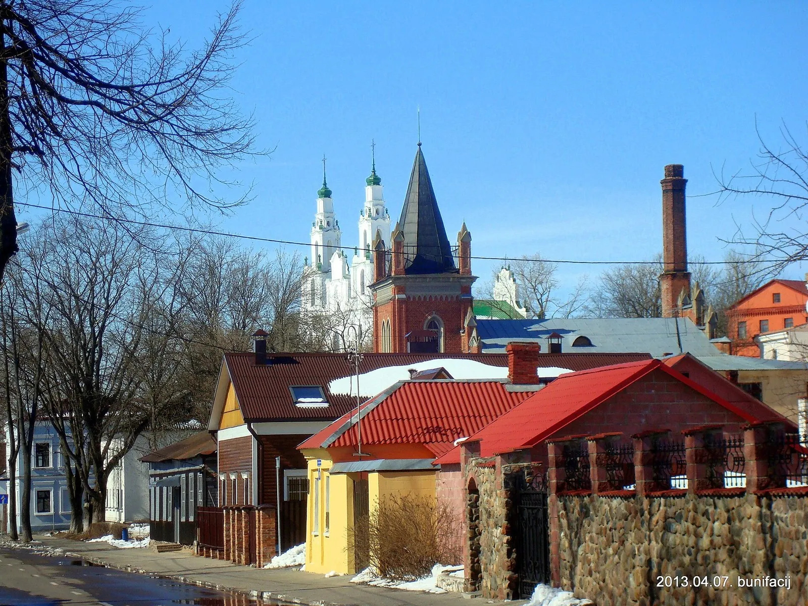
Roads of the Lake District: via Polotsk
✓ TrailTrack

Roads of the Lake District: via Polotsk

на тротуар · Bicycle · One-day

This is a 19.96 km point-to-point cycling route. Shore or waterside sections are recorded on the route. Gentle terrain: 21 m of total ascent over 19.96 km. Surface: asphalt plus paving stones. Estimated moving time is about 1.8 hours; add time for pauses and navigation.

20.0 km 100 +21 m Moderate
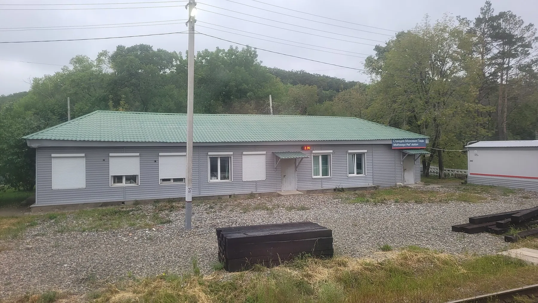
Winding woodland cycle circuit at Mokhovaya Pad
✓ TrailTrack

Winding woodland cycle circuit at Mokhovaya Pad

Bicycle · One-day

Ride a compact woodland circuit with frequent direction changes and a return to the start. It offers technical forest riding after checking which passages are available.

6.1 km 100 +111 m Easy
Molodi to Barybino: The Southern Run via Yusupovo and the Severka
✓ TrailTrack

Molodi to Barybino: The Southern Run via Yusupovo and the Severka

Moscow region · Run · One-day

Explore southern Moscow countryside through different waterside places: the Rojayka on a rural road section, the woodland Severka and Second Pond near Barybino. The journey links two railway sides through the surroundings of Yusupovo. It appeals to prepared enthusiasts of long independent outings who can investigate connecting passages in advance.

36.2 km 100 +557 m Hard
The great Iksha loop: two Sestra crossings and the Garskoye sanctuary edge
✓ TrailTrack

The great Iksha loop: two Sestra crossings and the Garskoye sanctuary edge

Moscow region · Run · Multi-day

Experience the woodland and river side of the north-western Moscow region in one substantial loop returning towards Iksha. Two distinct Sestra crossings, the Klubish and the actually visited edge of the Garskoye sanctuary give this historical running direction its own geography.

164.2 km 100 +1026 m Hard
Beaver Backwater: Pererov Reservoir and the Pererovnitsa River
✓ TrailTrack

Beaver Backwater: Pererov Reservoir and the Pererovnitsa River

Hiking · One-day

Walk beside Pererov Reservoir and the Pererovnitsa River, combining two different water-side stops in a small forest outing. A chance to slow down and explore the Pererov area.

2.3 km 100 +20 m Moderate
End-of-Season Ride to the Springs: On country roads
✓ TrailTrack

End-of-Season Ride to the Springs: On country roads

КП1. Помнік Ахвярам Гэбісцкага Скоцтва 30-х гг. · Bicycle · Multi-day

This 403.55 km point-to-point cycling route passes through terrain where shore or waterside sections are recorded on the route. Gentle terrain: 86 m of total ascent over 403.55 km. Surface: asphalt. Allow at least 6 days and verify overnight and exit options independently.

403.6 km 99 +86 m Hard
Back Page 40 of 79 Next