TrailTrack routes

Маршруты с подготовленным описанием, сложностью, покрытием и планированием визита.

Found 1895 routes
Choose a route from the list or view routes on the map.
Terrenkur 2 A: a Short Descent beside the Air Temple
✓ TrailTrack

Terrenkur 2 A: a Short Descent beside the Air Temple

Caucasus · Hiking · One-day

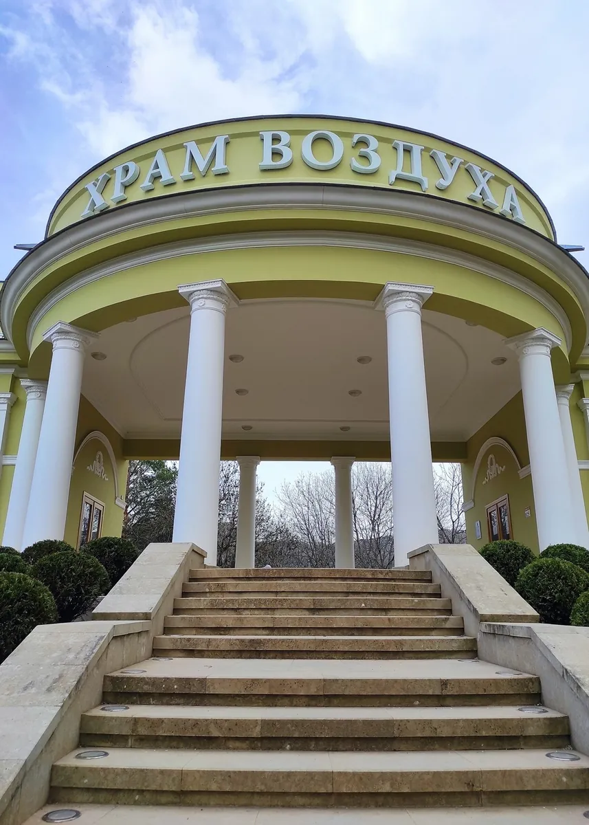
Two compact park scenes give this walk a clear purpose: the classical pavilion beside the start and the sandstone formations on the descent. They offer a close look at a Middle Park corner without a long circuit of the Dzhinal ridge.

0.9 km 88 +0 m Easy
Caucasian Trail: Unmarked Mountain Parts of Karachay-Cherkessia
✓ TrailTrack

Caucasian Trail: Unmarked Mountain Parts of Karachay-Cherkessia

Hiking · Multi-day

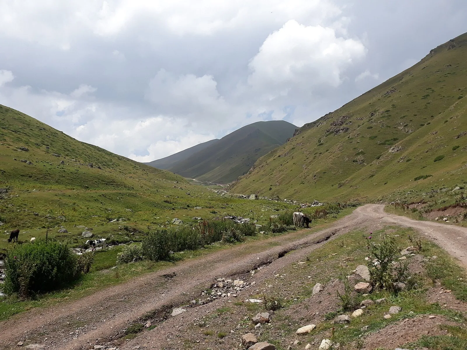
High saddles reveal how the Caucasus changes from the Prielbrusye side towards Arkhyz and the western valleys. Select an individual crossing with a particular pass while retaining its separate approach and descent in the overall plan.

297.5 km 88 +0 m Hard
Hebda to Tindi: Through Izani and Tlisi Passes
✓ TrailTrack

Hebda to Tindi: Through Izani and Tlisi Passes

Caucasus · Hiking · Multi-day

Walk from Hebda to Tindi through two named passes, Izani and Tlisi. This journey introduces neighbouring mountain valleys gradually through your own progress on foot.

75.3 km 88 +0 m Hard
Blue Lake in the Turya mountains: approach to a glacial basin
✓ TrailTrack

Blue Lake in the Turya mountains: approach to a glacial basin

Hiking · One-day

The attraction is a high mountain lake in a natural glacial basin, without resort viewing platforms around its shore. Water and rock give Blue Lake a distinct setting for quiet observation. Visit only with an agreed, lawful day plan; a lakeside tent camp is not an authorised part of the experience.

7.4 km 88 +0 m Easy
Kvashe Pass Mountain Trail
✓ TrailTrack

Kvashe Pass Mountain Trail

Hiking · One-day

Plan this 7.94 km circular walking route from its verified distance, gradients and recorded surface rather than unconfirmed landmarks. Estimated moving time is about 2.3 hours; add time for pauses and navigation.

7.9 km 88 +0 m Easy
Cherek Valley and Alagir Gorge: Two Parts of a Road Journey
✓ TrailTrack

Cherek Valley and Alagir Gorge: Two Parts of a Road Journey

Caucasus · Car · One-day

The two valleys reveal different Caucasus histories: old Balkarian settlements and the Ossetian reverence for the protector of travellers. Uastyrdzhi and Ishkanty provide specific reasons to leave the car and explore.

79.3 km 88 +3331 m Hard
Rosa Health Trail: Two Separate Sections beside Nadezhda and High Waterfall
✓ TrailTrack

Rosa Health Trail: Two Separate Sections beside Nadezhda and High Waterfall

Hiking · One-day

Examine Nadezhda and High Waterfall on two independent woodland visits near the resort. The plan gives attention to each waterfall without inventing a connection between the parts.

2.3 km 88 +0 m Easy
Across the Eastern Saddle in the Jumgal Foothills
✓ TrailTrack

Across the Eastern Saddle in the Jumgal Foothills

Hiking · One-day

See how neighbouring valley approaches connect through a particular mountain saddle and add a compact walking stage to a Jumgal journey. Settle access and collection on both sides first.

3.3 km 88 +223 m Easy
Bel-Tepshi-Ashuu towards the Soltonsary Valley
✓ TrailTrack

Bel-Tepshi-Ashuu towards the Soltonsary Valley

Hiking · Multi-day

Cross Bel-Tepshi-Ashuu and get to know the Ter-Suu and Soltonsary valleys. The saddle and two particular riverside sections form a considered journey through the Naryn highlands.

48.4 km 88 +347 m Hard
Archa-Tor: From Jeti-Oguz to Chon-Kyzyl-Suu
✓ TrailTrack

Archa-Tor: From Jeti-Oguz to Chon-Kyzyl-Suu

Hiking · One-day

Cross Archa-Tor and reach the neighbouring valley on foot. It suits a planned mountain journey with overnight stops, centred on the link between Jeti-Oguz and Chon-Kyzyl-Suu.

22.8 km 88 +1291 m Moderate
Telety: Upper Karakol to Jeti-Oguz Valley
✓ TrailTrack

Telety: Upper Karakol to Jeti-Oguz Valley

Hiking · One-day

Cross from Karakol Valley to Jeti-Oguz on foot, passing between wooded slopes and open pass country. It is a distinct mountain stage that can form part of a longer journey.

21.3 km 88 +1197 m Moderate
Karakol, Ala-Kul and Altyn-Arashan: A Lake Crossing Between Valleys
✓ TrailTrack

Karakol, Ala-Kul and Altyn-Arashan: A Lake Crossing Between Valleys

Karakol · Hiking · Multi-day

Give Ala-Kul enough time to become the central experience of the walk. Wooded Karakol, the rocky lakeshore and Altyn-Arashan’s springs make a satisfying journey without adding distant summits.

78.2 km 88 +2260 m Hard
Gornyy peshiy marshrut № 166 Medeu-Tropa otdykha
✓ TrailTrack

Gornyy peshiy marshrut № 166 Medeu-Tropa otdykha

Hiking · One-day

The route covers about 2.1 km as a multi-part hiking route, with Besqaynar as the most useful starting reference. The route contains 4 separate parts; establish how they connect before travelling. Features worth noticing include Mohnatka (peak, 2280 m, about 0.9 km away); Karakungey (peak, 1825 m, about 1.1 km away); "Mushroom" bus stop (attraction, about 0.1 km away); Слониха (viewpoint, about 0.7 km away); Kumys Tau (spring, about 0.9 km away). The route itself has no recorded elevations, but nearby named features rise to about 2280 m. This matters for weather and acclimatisation. Original material: OpenStreetMap — https://www.openstreetmap.org/relation/20605694. It states: published distance: 5.

2.1 km 88 +214 m Easy
Along the Small Almaty River to Tuyuk-Su Alpine Camp
✓ TrailTrack

Along the Small Almaty River to Tuyuk-Su Alpine Camp

Hiking · One-day

Follow a specific riverside section of Small Almaty Gorge and see Tuyuk-Su alpine camp from outside. The short descent provides a distinct section within an outing whose mountain access is already organised.

3.2 km 88 +27 m Easy
Gorelnik: Approaching the Lower and Upper Waterfalls
✓ TrailTrack

Gorelnik: Approaching the Lower and Upper Waterfalls

Hiking · One-day

See both Gorelnik waterfalls on a distinct approach from the lower valley. Spruce woodland, riverside terrain and stony waterfall approaches provide a clear objective for a compact mountain outing.

3.2 km 88 +550 m Easy
Turquoise Route: via Krichev
✓ TrailTrack

Turquoise Route: via Krichev

КП0 Горки, Амфитеатр · Bicycle · Multi-day

Expect shore or waterside sections are recorded on the route on this 602.62 km point-to-point cycling route. Gentle terrain: 116 m of total ascent over 602.62 km. Surface: asphalt. Allow at least 8 days and verify overnight and exit options independently.

602.6 km 88 +116 m Hard
Lepel Loop: via Minsk
✓ TrailTrack

Lepel Loop: via Minsk

АЗС · Bicycle · Multi-day

Expect woodland is one of the route's main features on this 399.63 km point-to-point cycling route. Gentle terrain: 272 m of total ascent over 399.63 km. Surface: asphalt. Allow at least 6 days and verify overnight and exit options independently.

399.6 km 88 +272 m Hard
Minsk Loop: southern route
✓ TrailTrack

Minsk Loop: southern route

М · Bicycle · Multi-day

The recorded line is a 109.3 km point-to-point cycling route, with woodland is one of the route's main features. Gentle terrain: 164 m of total ascent over 109.3 km. Surface: asphalt plus concrete. Allow at least 2 days and verify overnight and exit options independently.

109.3 km 88 +164 m Hard
Knowledge Trail
✓ TrailTrack

Knowledge Trail

Hiking · One-day

This is a 1.14 km circular walking route with a complete recorded line to follow from start to finish. Rolling terrain: 13 m of total ascent over 1.14 km. Surface: improved surface plus natural ground. Estimated moving time is about 0.5 hours; add time for pauses and navigation.

1.1 km 88 +13 m Easy
Roads of Belarus: via Novogrudok
✓ TrailTrack

Roads of Belarus: via Novogrudok

КП0 Старт · Hiking · Multi-day

Treat this 404.53 km circular walking route as a complete outing, paying attention to the terrain and changing surface underfoot. Gentle terrain: 516 m of total ascent over 404.53 km. Allow at least 18 days and verify overnight and exit options independently.

404.5 km 88 +516 m Hard
From Lida Castle: via Grodno
✓ TrailTrack

From Lida Castle: via Grodno

Bicycle · Multi-day

This 400.9 km circular cycling route passes through terrain where the route includes sites with cultural context. Gentle terrain: 193 m of total ascent over 400.9 km. Surface: asphalt. Allow at least 6 days and verify overnight and exit options independently.

400.9 km 88 +193 m Hard
Grand Route across Belarus
✓ TrailTrack

Grand Route across Belarus

Евроопт 24/7 · Bicycle · One-day

The track links Park 1000 letiya into one continuous outdoor outing. Near the water: shore or waterside sections are recorded on the route. Gentle terrain: 56 m of total ascent over 18.36 km. Surface: asphalt plus paving stones.

18.4 km 88 +56 m Moderate
To the Lighthouse through the Vitebsk Lake District: via Verkhnedvinsk
✓ TrailTrack

To the Lighthouse through the Vitebsk Lake District: via Verkhnedvinsk

КП 0. Старт. Софийский Собор · Bicycle · Multi-day

Shore or waterside sections are recorded on the route along this 301.34 km point-to-point cycling route. Gentle terrain: 168 m of total ascent over 301.34 km. Surface: asphalt. Allow at least 4 days and verify overnight and exit options independently.

301.3 km 88 +168 m Hard
Meeting Friends: Eastern route
✓ TrailTrack

Meeting Friends: Eastern route

КП 0 Полоцк пл.Скорины · Bicycle · Multi-day

Expect shore or waterside sections are recorded on the route on this 201.69 km point-to-point cycling route. Gentle terrain: 59 m of total ascent over 201.69 km. Surface: asphalt. Allow at least 3 days and verify overnight and exit options independently.

201.7 km 88 +59 m Hard
Back Page 50 of 79 Next