TrailTrack routes

Маршруты с подготовленным описанием, сложностью, покрытием и планированием визита.

Found 1895 routes
Choose a route from the list or view routes on the map.
Arabel Syrt — over the Pass to the Burkhan Valley
✓ TrailTrack

Arabel Syrt — over the Pass to the Burkhan Valley

Arabel Syrt · Hiking · Multi-day

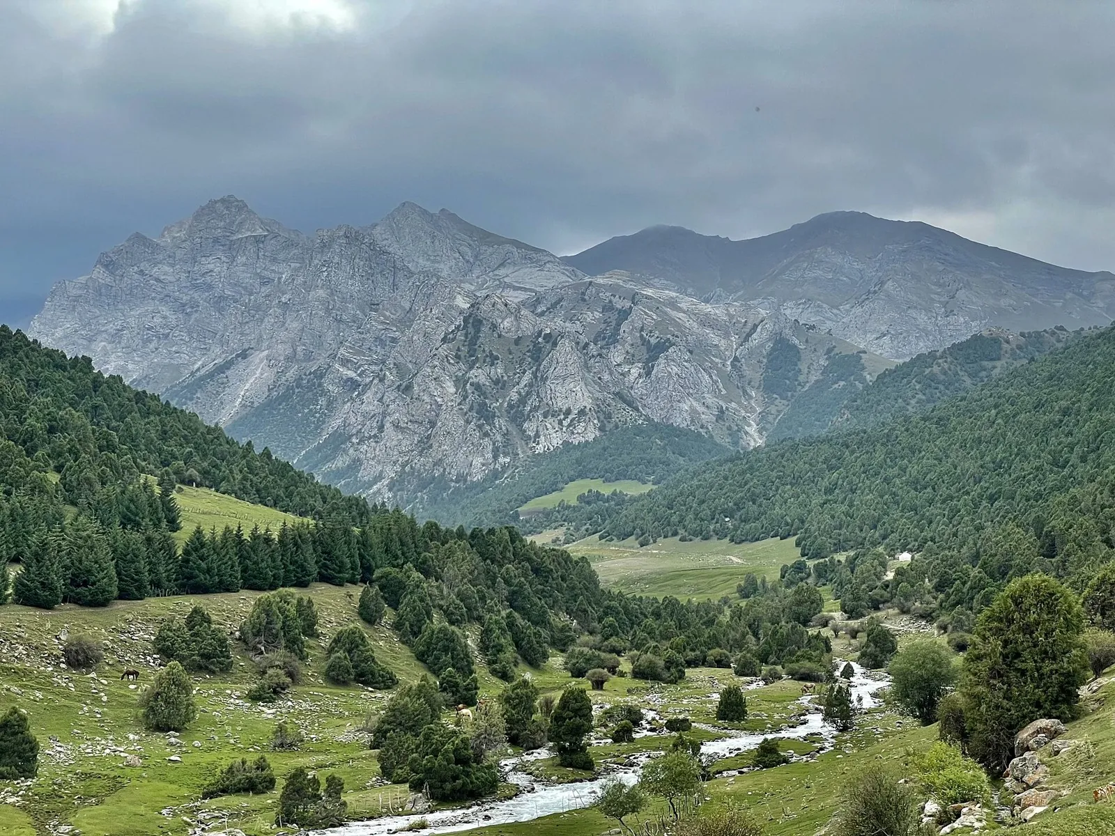
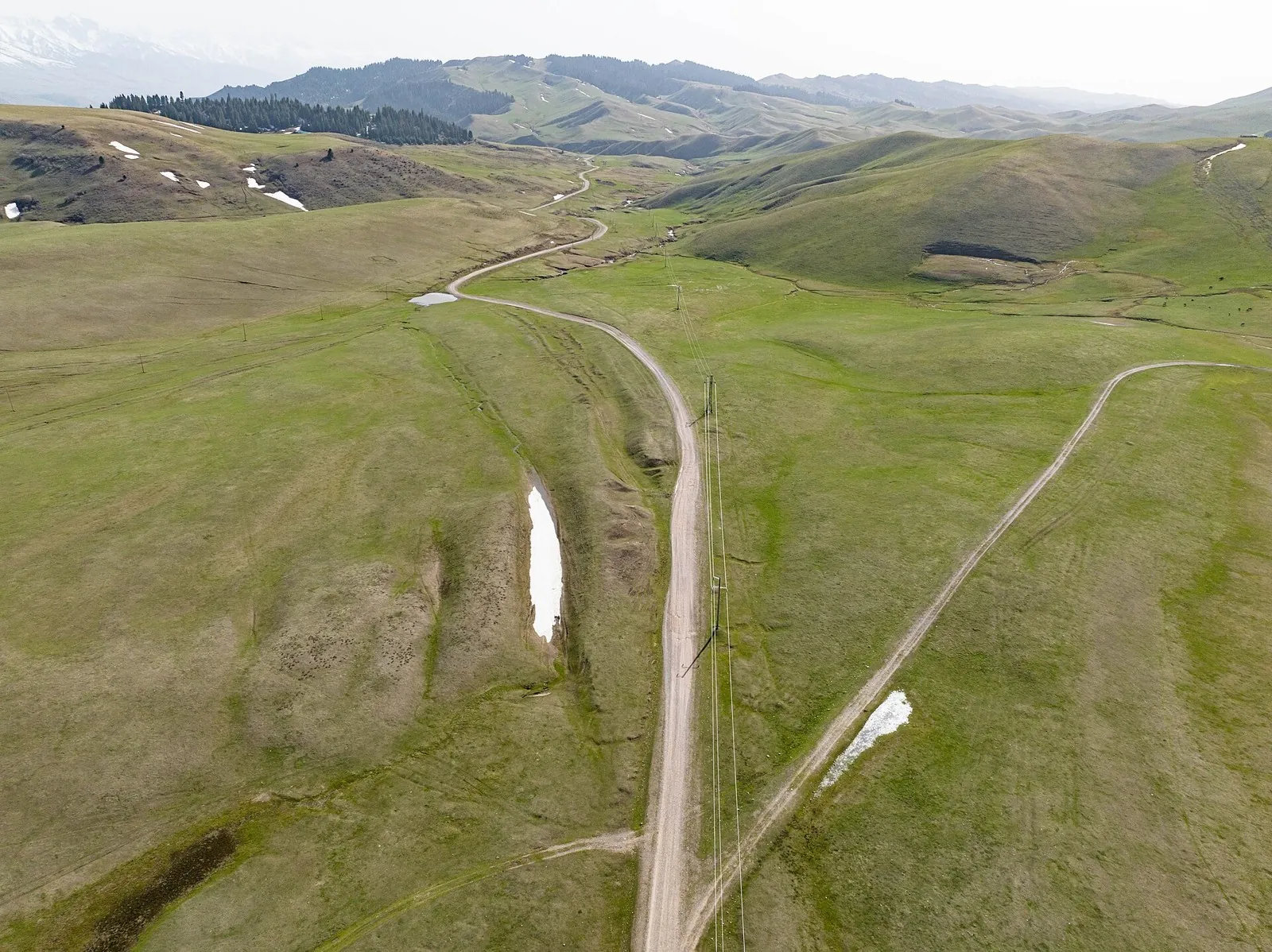
Walk from the open Arabel plateau over Arabel Pass into the Burkhan Valley and watch the high-country landscape change. The lake by the saddle and the long river descent make this a distinctive stage in an Inner Tien Shan journey.

52.4 km 84 +142 m Hard
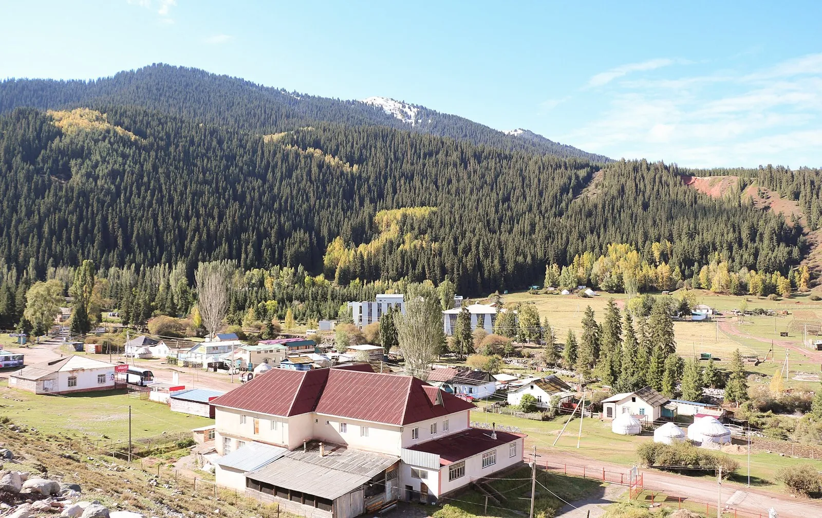
Chon-Kyzyl-Suu to Jeti Oguz — the Echo Pass Crossing
✓ TrailTrack

Chon-Kyzyl-Suu to Jeti Oguz — the Echo Pass Crossing

Chon-Kyzyl-Suu to Jeti Oguz · Hiking · Multi-day

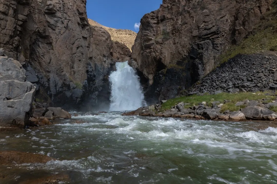
Connect the Djily-Suu hot springs, Shatyly Valley and Echo Pass with the Kok-Zhaiyk pastures. The appeal lies in the change between two valleys and the story behind Echo’s name, best recalled beneath the pass slope.

63.7 km 84 +1681 m Hard
Berezina Gravel Circuit: Eastern route
✓ TrailTrack

Berezina Gravel Circuit: Eastern route

КП1 Мемориальный комплех бригады "Разгром", 27км · Hiking · Multi-day

The main recorded stops are Spring, making this a route to explore rather than rush through. Near the water: shore or waterside sections are recorded on the route. Gentle terrain: 203 m of total ascent over 201.98 km. Allow at least 9 days and verify overnight and exit options independently.

202.0 km 84 +203 m Hard
Spring Roads of the Minsk Region
✓ TrailTrack

Spring Roads of the Minsk Region

магазин · Hiking · Multi-day

Woodland is one of the route's main features along this 109.9 km point-to-point walking route. Gentle terrain: 100 m of total ascent over 109.9 km. Surface: asphalt plus concrete. Allow at least 5 days and verify overnight and exit options independently.

109.9 km 84 +100 m Hard
Pedalyery Team Route
✓ TrailTrack

Pedalyery Team Route

КП 4 · Hiking · Multi-day

Woodland is one of the route's main features along this 437.08 km point-to-point walking route. Gentle terrain: 315 m of total ascent over 437.08 km. Surface: asphalt. Allow at least 19 days and verify overnight and exit options independently.

437.1 km 84 +315 m Hard
May Day Cycling Route: via Malyavki
✓ TrailTrack

May Day Cycling Route: via Malyavki

Hiking · Multi-day

Treat this 103.6 km circular walking route as a complete outing, paying attention to the terrain and changing surface underfoot. Gentle terrain: 152 m of total ascent over 103.6 km. Allow at least 5 days and verify overnight and exit options independently.

103.6 km 84 +152 m Hard
Raubichi: Silichi Winter Ski Route
✓ TrailTrack

Raubichi: Silichi Winter Ski Route

Очаг, 15км · Skiing · One-day

Treat this 32.56 km point-to-point cross-country skiing route as a complete outing, paying attention to the terrain and changing surface underfoot. Gentle terrain: 113 m of total ascent over 32.56 km. Estimated moving time is about 5.7 hours; add time for pauses and navigation.

32.6 km 84 +113 m Hard
Volma Route
✓ TrailTrack

Volma Route

КП 3 Жодино 115км · Bicycle · Multi-day

The available data defines a 209.47 km circular cycling route; check the mapped line closely before setting out. Gentle terrain: 123 m of total ascent over 209.47 km. Surface: asphalt. Allow at least 3 days and verify overnight and exit options independently.

209.5 km 84 +123 m Hard
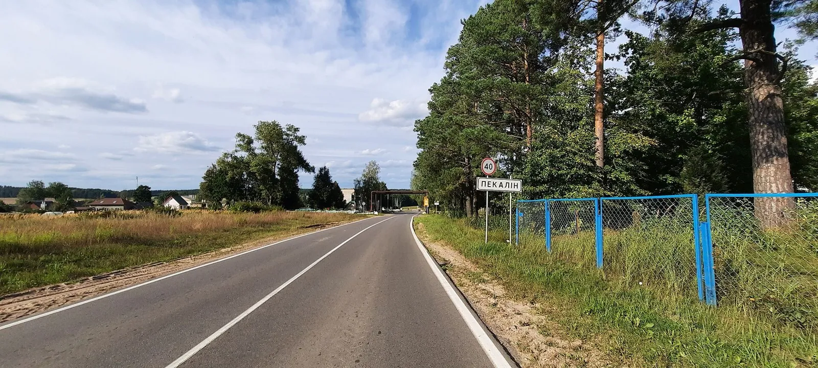
Pekalin Circuit: via Raubichi
✓ TrailTrack

Pekalin Circuit: via Raubichi

КП4, Пекалин, 154км · Bicycle · Multi-day

This 200.32 km circular cycling route passes through terrain where woodland is one of the route's main features. Gentle terrain: 128 m of total ascent over 200.32 km. Surface: asphalt. Allow at least 3 days and verify overnight and exit options independently.

200.3 km 84 +128 m Hard
Two Extended Lida Loops: Mosty, Mir and the Skidel Branch
✓ TrailTrack

Two Extended Lida Loops: Mosty, Mir and the Skidel Branch

КП1 Острино 87 км · Bicycle · Multi-day

Connect Mosty’s western road setting with the eastern loop’s historic pauses. Krupovo and Radun churches, Ivye’s multi-faith centre and the exterior Mir Castle approach give each large outing a different character. The full direction depends on resolving the Skidel junction.

601.7 km 84 +466 m Hard
Forest River Trail
✓ TrailTrack

Forest River Trail

Hiking · One-day

Expect woodland is one of the route's main features on this 2.27 km point-to-point walking route. Gentle terrain: 10 m of total ascent over 2.27 km. Estimated moving time is about 0.8 hours; add time for pauses and navigation.

2.3 km 84 +10 m Easy
Bereza, Drogichin and Pinsk: a Polesie Cycling Journey towards Turov
✓ TrailTrack

Bereza, Drogichin and Pinsk: a Polesie Cycling Journey towards Turov

ВелоПолесь · Bicycle · Multi-day

Connect the Yaselda and Pina with Drogichin’s Presentation Church and Butrimovich Palace in Pinsk. Turov and Petrikov extend the journey through Polesie, with overnight stages allowing time for places a quick transit would reduce to road signs.

631.8 km 84 +1747 m Hard
Vidomlya to Chernavchitsy: A Bicycle Circuit to Trinity Church
✓ TrailTrack

Vidomlya to Chernavchitsy: A Bicycle Circuit to Trinity Church

Bicycle · One-day

Trinity Church gives the rural circuit a definite historical destination. Returning to Vidomlya lets you build the day around one cultural stop.

54.7 km 84 +111 m Hard
Shimeroy to Kharkaroy Tower: Via Abdalzabazul and a Lookout Branch
✓ TrailTrack

Shimeroy to Kharkaroy Tower: Via Abdalzabazul and a Lookout Branch

Hiking · Multi-day

Connect Shimeroy and Abdalzabazul with Kharkaroy Battle Tower. The Cheberloy Canyon Viewpoint branch adds another perspective without turning the tower visit into a rushed dash.

27.3 km 83 +0 m Hard
Guloykhi to Kezenoy-Am: A Mountain Crossing via Itum-Kali and Old Hoi
✓ TrailTrack

Guloykhi to Kezenoy-Am: A Mountain Crossing via Itum-Kali and Old Hoi

Hiking · Multi-day

Link Guloykhi, the Argun, Phakoch Castle and Old Hoi in an independent mountain journey. Cheberloy Canyon Viewpoint and the Akhkete provide distinct riverside stops before Kezenoy-Am.

170.0 km 83 +0 m Hard
Zubkov Battery: Coastal Defense Trail
✓ TrailTrack

Zubkov Battery: Coastal Defense Trail

Hiking · One-day

Plan this 3.79 km circular walking route from its verified distance, gradients and recorded surface rather than unconfirmed landmarks. Estimated moving time is about 1.2 hours; add time for pauses and navigation.

3.8 km 83 +0 m Easy
Walking Route in the Caucasus — 60,3 km
✓ TrailTrack

Walking Route in the Caucasus — 60,3 km

Walking Route in the Caucasus · Hiking · Multi-day

Plan this 60.27 km point-to-point walking route from its verified distance, gradients and recorded surface rather than unconfirmed landmarks. Strong mountain relief: 2889 m of total ascent over 60.27 km. Allow at least 4 days and verify overnight and exit options independently.

60.3 km 83 +2521 m Hard
Anavgai to Ilmagan: upper road and mountain lakeside walk
✓ TrailTrack

Anavgai to Ilmagan: upper road and mountain lakeside walk

Travel · One-day

Reach Ilmagan Lake through the upper road and woodland sections, pause on the permitted shore and see a quiet mountain lake among the surrounding terrain. The final walk suits a prearranged journey from Anavgai.

19.6 km 83 +99 m Moderate
Kyzyl-Kasa: a Pass Day towards the Ak-Töbe Valley
✓ TrailTrack

Kyzyl-Kasa: a Pass Day towards the Ak-Töbe Valley

Hiking · One-day

For the Kyzyl-Kasa crossing from the Kyrgyz-Ata system towards Ak-Töbe. The saddle reveals the divide between neighbouring northern Kichik-Alay valleys.

15.4 km 83 +1044 m Moderate
From Soltonsary through the Naryn Highland Saddles
✓ TrailTrack

From Soltonsary through the Naryn Highland Saddles

Hiking · Multi-day

Cross a sequence of neighbouring saddles after a stop beside Soltonsary. This gradual introduction to the Naryn mountains needs overnight places and a safe onward route chosen beforehand.

33.9 km 83 +803 m Hard
Keskenkiya: Jyrgalan’s Pass Valleys and the Northern Approach
✓ TrailTrack

Keskenkiya: Jyrgalan’s Pass Valleys and the Northern Approach

Hiking · Multi-day

Walk Keskenkiya’s named passes and return to Jyrgalan after exploring several valleys. The village base helps organise overnight stops and discuss conditions with a local guide.

88.4 km 83 +1963 m Hard
Kurgaktor and the Hot Springs of Altyn-Arashan
✓ TrailTrack

Kurgaktor and the Hot Springs of Altyn-Arashan

Hiking · One-day

The appeal is Kurgaktor itself and the transition from rocky pass country to Altyn-Arashan’s thermal valley. Choose that combination as a prepared mountain journey after identifying the continuation beyond the springs.

20.5 km 83 +1503 m Moderate
Tegermetch: descending the gorge to the Isfayram-Say
✓ TrailTrack

Tegermetch: descending the gorge to the Isfayram-Say

Hiking · One-day

To follow the Tegermetch corridor into the main Isfayram-Say valley. Its defining places are the sections where the rock walls draw close above the river.

12.6 km 83 +166 m Moderate
Manshuk Lake via Alpingrad towards Shymbulak
✓ TrailTrack

Manshuk Lake via Alpingrad towards Shymbulak

Hiking · One-day

See Manshuk Mametova Lake beside the actual high departure and follow the descent through Alpingrad into a specific mountain valley. This variant suits a prepared group with confirmed access to the lake.

7.5 km 83 +22 m Moderate
Back Page 54 of 79 Next