TrailTrack routes

Routes with a prepared description, difficulty, surface details and visit planning.

Found 1895 routes
Choose a route from the list or view routes on the map.
Trail to the Vinegrower's House
✓ TrailTrack

Trail to the Vinegrower's House

Hiking · One-day

Plan this 3.93 km point-to-point walking route from its verified distance, gradients and recorded surface rather than unconfirmed landmarks. Estimated moving time is about 1.2 hours; add time for pauses and navigation.

3.9 km 82 +0 m Easy
Pinachevo towards Nalychevo: Semyonovsky and Pinachevsky Pass
✓ TrailTrack

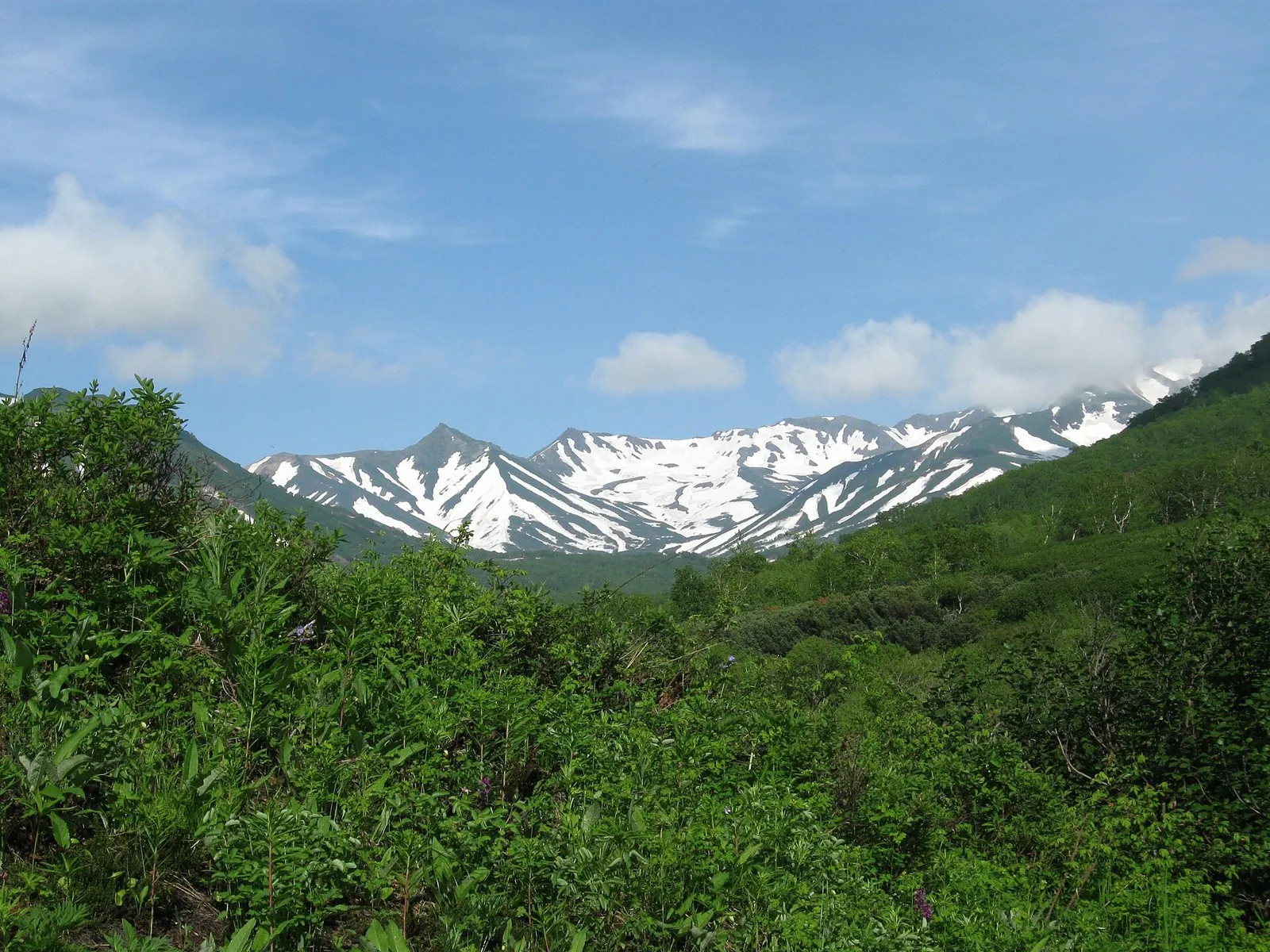
Pinachevo towards Nalychevo: Semyonovsky and Pinachevsky Pass

Hiking · Multi-day

Walk from Pinachevo through named woodland ranger-post places to Pinachevsky Pass, then descend towards Nalychevo. The passage reveals how familiar lower woodland gives way to an open mountain approach and a different valley outlook.

37.0 km 82 +0 m Hard
Artala: from Tengizbay into the Chong-Kochkorchu Valley
✓ TrailTrack

Artala: from Tengizbay into the Chong-Kochkorchu Valley

Hiking · One-day

To cross Artala from the Tengizbay into Chong-Kochkorchu. Beyond the divide, the descent reveals the southern gorge and the approach to the Koksu river system.

16.0 km 82 +220 m Moderate
West Kara-Ayyrma: Isfayram-Say to Katta-Karagandy
✓ TrailTrack

West Kara-Ayyrma: Isfayram-Say to Katta-Karagandy

Hiking · One-day

To cross West Kara-Ayyrma and explore a side of the Isfayram-Say system. The change of valley beyond the saddle is the defining moment of this walk.

20.5 km 82 +1562 m Moderate
Lake Country Route: lake-country journey
✓ TrailTrack

Lake Country Route: lake-country journey

Kp2, Svityaz, 234km · Bicycle · Multi-day

Expect shore or waterside sections are recorded on the route on this 1002.37 km point-to-point cycling route. Gentle terrain: 440 m of total ascent over 1002.37 km. Surface: asphalt. Allow at least 14 days and verify overnight and exit options independently.

1002.4 km 82 +440 m Hard
Minsk Grand Circuit: Heritage Route
✓ TrailTrack

Minsk Grand Circuit: Heritage Route

M · Bicycle · Multi-day

This 405.19 km point-to-point cycling route passes through terrain where the route includes sites with cultural context. Gentle terrain: 477 m of total ascent over 405.19 km. Surface: asphalt. Allow at least 6 days and verify overnight and exit options independently.

405.2 km 82 +477 m Hard
Oshmyany Loop: Interregional variant
✓ TrailTrack

Oshmyany Loop: Interregional variant

Kp0, Akvapark, 0 · Bicycle · Multi-day

The mapped line covers a 402.99 km point-to-point cycling route; terrain and surface are the main verified planning details available. Gentle terrain: 175 m of total ascent over 402.99 km. Surface: asphalt. Allow at least 6 days and verify overnight and exit options independently.

403.0 km 82 +175 m Hard
Forest Roads Discovery Route
✓ TrailTrack

Forest Roads Discovery Route

zh.d.s.smolevichi, M,k · Bicycle · One-day

Expect woodland is one of the route's main features on this 28.83 km point-to-point cycling route. Gentle terrain: 158 m of total ascent over 28.83 km. Surface: asphalt plus natural ground. Estimated moving time is about 2.8 hours; add time for pauses and navigation.

28.8 km 82 +158 m Hard
Roads of Belarus: via Ivye
✓ TrailTrack

Roads of Belarus: via Ivye

Start 3 chasti · Hiking · Multi-day

This 396.22 km circular walking route passes through terrain where woodland is one of the route's main features. Gentle terrain: 403 m of total ascent over 396.22 km. Surface: asphalt plus improved surface. Allow at least 17 days and verify overnight and exit options independently.

396.2 km 82 +403 m Hard
Survey Markers of Lida
✓ TrailTrack

Survey Markers of Lida

Hiking · One-day

Expect the route includes sites with cultural context on this 5.97 km point-to-point walking route. Gentle terrain: 11 m of total ascent over 5.97 km. Estimated moving time is about 1.8 hours; add time for pauses and navigation.

6.0 km 82 +11 m Easy
Quiet Roads of Polesie
✓ TrailTrack

Quiet Roads of Polesie

Kp3 · Hiking · Multi-day

This 54.62 km point-to-point walking route passes through terrain where woodland is one of the route's main features. Gentle terrain: 24 m of total ascent over 54.62 km. Surface: asphalt plus paving stones. Allow at least 3 days and verify overnight and exit options independently.

54.6 km 82 +24 m Hard
Malorita to Kobrin 2025: Brest Circuit Returning via Pashuki
✓ TrailTrack

Malorita to Kobrin 2025: Brest Circuit Returning via Pashuki

Kp0 Brest · Bicycle · Multi-day

Link Malorita’s wooden St Nicholas Church, Kobrin’s two museum buildings and the Pashuki church in one extensive journey. The southern section with the Rita and Malorita rivers offers a different perspective from Brest circuits through Volkovysk.

401.2 km 82 +57 m Hard
Brest Arc 2024: Variant via Svisloch and Bolshaya Berestovitsa
✓ TrailTrack

Brest Arc 2024: Variant via Svisloch and Bolshaya Berestovitsa

Kp0 Brest Azs · Bicycle · Multi-day

Link the forest Narew with Svisloch, Bolshaya Berestovitsa and Volkovysk’s history, then add Lyskovo’s monastic ensemble to the return. This variant has its own northern arc and a close road approach to Lyskovo, providing a different set of stops from the Brest journey through Dyatlovo and Gorodishche.

400.9 km 82 +239 m Hard
Visiting the Radziwills
✓ TrailTrack

Visiting the Radziwills

Kp 7 · Bicycle · Multi-day

The route includes sites with cultural context along this 404.2 km circular cycling route. Gentle terrain: 82 m of total ascent over 404.2 km. Surface: asphalt. Allow at least 6 days and verify overnight and exit options independently.

404.2 km 82 +82 m Hard
Lake Proval => Novopyatigorskoe Lake: Cycling Route
✓ TrailTrack

Lake Proval => Novopyatigorskoe Lake: Cycling Route

Caucasus · Off-road cycling · One-day

Plan this 10.34 km point-to-point cycling route from its verified distance, gradients and recorded surface rather than unconfirmed landmarks. Estimated moving time is about 1.4 hours; add time for pauses and navigation.

10.3 km 81 +0 m Moderate
Mountain-Biking Route in the Caucasus — 38,1 km
✓ TrailTrack

Mountain-Biking Route in the Caucasus — 38,1 km

Mountain-Biking Route in the Caucasus · Off-road cycling · One-day

Plan this 38.06 km point-to-point cycling route from its verified distance, gradients and recorded surface rather than unconfirmed landmarks. Estimated moving time is about 5.3 hours; add time for pauses and navigation.

38.1 km 81 +0 m Hard
Sun Gate to Mount Mashuk
✓ TrailTrack

Sun Gate to Mount Mashuk

Caucasus · Hiking · One-day

Plan this 3.66 km point-to-point walking route from its verified distance, gradients and recorded surface rather than unconfirmed landmarks. Estimated moving time is about 1.1 hours; add time for pauses and navigation.

3.7 km 81 +0 m Easy
Walking Route in the Caucasus — 6,5 km
✓ TrailTrack

Walking Route in the Caucasus — 6,5 km

Walking Route in the Caucasus · Hiking · One-day

Plan this 6.47 km point-to-point walking route from its verified distance, gradients and recorded surface rather than unconfirmed landmarks. Estimated moving time is about 1.9 hours; add time for pauses and navigation.

6.5 km 81 +0 m Easy
Tsemes River and Furova Hillside Walk
✓ TrailTrack

Tsemes River and Furova Hillside Walk

Hiking · One-day

Plan this 1.89 km point-to-point walking route from its verified distance, gradients and recorded surface rather than unconfirmed landmarks. Estimated moving time is about 0.7 hours; add time for pauses and navigation.

1.9 km 81 +0 m Easy
Viktoria: a cycling journey from Pskov to Krypetskoye-2
✓ TrailTrack

Viktoria: a cycling journey from Pskov to Krypetskoye-2

Tochka · Bicycle · Multi-day

See Pskov within a large cycling journey, then exchange town architecture for country and woodland roads. Two historical stops provide useful pauses during sustained travel.

170.1 km 81 +0 m Hard
Issyk-Ata Glaciers and an Alamedin Descent: Preliminary Mountain Plan
✓ TrailTrack

Issyk-Ata Glaciers and an Alamedin Descent: Preliminary Mountain Plan

Hiking · Multi-day

Prepare a mountain journey around four named glaciers and two confirmed pass saddles. The transition from the Progonny side to upper Issyk-Ata ice and a later Alamedin exit is the appeal, once every linking passage has been established.

93.5 km 81 +2523 m Hard
Northwestern Mountain Approach to Kyzyl-Oi via Colors of Nature
✓ TrailTrack

Northwestern Mountain Approach to Kyzyl-Oi via Colors of Nature

Hiking · Multi-day

Approach Kyzyl-Oi from the mountains and pause at Colors of Nature before reaching the lower valley. The Kokomeren-side settlement offers a clear ending for a prepared trek.

37.2 km 81 +1048 m Hard
Atala-Tektyu through the Mountains to Terek-Suu and the Tar
✓ TrailTrack

Atala-Tektyu through the Mountains to Terek-Suu and the Tar

Hiking · Multi-day

Cross Atala-Tektyu and reach Terek-Suu beside the Tar River. The journey links mountain sides with a recognisable village finish, while accommodation or collection still needs arranging beforehand.

26.8 km 81 +1485 m Hard
Upper Djukuchak to Ashu-Kashka-Suu — the Short Mountain Link
✓ TrailTrack

Upper Djukuchak to Ashu-Kashka-Suu — the Short Mountain Link

Upper Djukuchak to Ashu-Kashka-Suu · Hiking · One-day

Link upper Djukuchak with Ashu-Kashka-Suu on foot across the spur, then choose an onward route through a different valley. It adds variety to a longer journey on the northern side of Terskey Ala-Too.

6.1 km 81 +759 m Easy
Back Page 59 of 79 Next