TrailTrack routes

Маршруты с подготовленным описанием, сложностью, покрытием и планированием визита.

Found 1895 routes
Choose a route from the list or view routes on the map.
Irkutsk Region: Mountain-Bike Route
✓ TrailTrack

Irkutsk Region: Mountain-Bike Route

Bicycle · One-day

Treat this 26.71 km point-to-point cycling route as a complete outing, paying attention to the terrain and changing surface underfoot. Gentle terrain: 205 m of total ascent over 26.71 km. Estimated moving time is about 2.7 hours; add time for pauses and navigation.

26.7 km 135 +205 m Hard
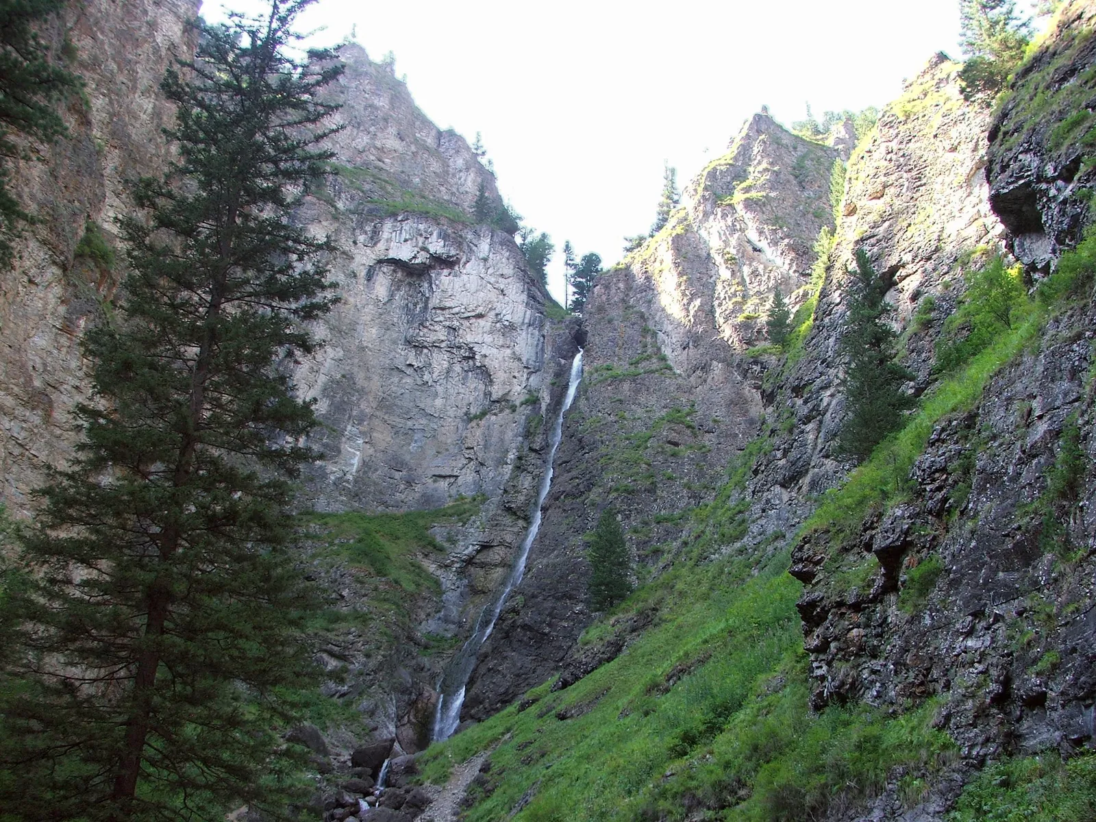
Shinok Cascade: A Woodland Walk to Skaty, Rassypnoy and Sedoy
✓ TrailTrack

Shinok Cascade: A Woodland Walk to Skaty, Rassypnoy and Sedoy

Shinok Cascade: A Woodland Walk to Skaty · Hiking · One-day

One outing brings together a sloping cascade, a stepped waterfall and the tall Sedoy fall. Allow time to notice how each one differs. The changing forms of the water make the journey between them as rewarding as the final stop.

3.3 km 135 +423 m Easy
Lake Artemyeva: Walking Route in Buryatia
✓ TrailTrack

Lake Artemyeva: Walking Route in Buryatia

Hiking · One-day

Expect shore or waterside sections are recorded on the route on this 5.2 km point-to-point walking route. Rolling terrain: 63 m of total ascent over 5.2 km. Estimated moving time is about 1.6 hours; add time for pauses and navigation.

5.2 km 134 +63 m Easy
Around Trail Davydov Circuit
✓ TrailTrack

Around Trail Davydov Circuit

Hiking · One-day

This 6.55 km circular walking route is shaped by its terrain, surface and pace rather than a single landmark. Noticeable climbing: 247 m of total ascent over 6.55 km. Surface: natural ground. Estimated moving time is about 2.3 hours; add time for pauses and navigation.

6.6 km 134 +247 m Easy
Babiy Kamen: woodland approach from the Karymshina side to three cascades
✓ TrailTrack

Babiy Kamen: woodland approach from the Karymshina side to three cascades

Hiking · One-day

Follow the woodland side to Babiy Kamen’s cascades and watch a mountain stream spread over rocky ledges. The outing introduces the waterfall separately from an ascent of the mountain itself.

3.3 km 134 +177 m Moderate
Lvovskaya: Molodi
✓ TrailTrack

Lvovskaya: Molodi

Moscow region · Hiking · One-day

This 19.62 km point-to-point walking route passes through terrain where shore or waterside sections are recorded on the route. Gentle terrain: 128 m of total ascent over 19.62 km. Surface: mud and grass plus natural ground. Estimated moving time is about 6.0 hours; add time for pauses and navigation.

19.6 km 134 +128 m Moderate
Kaspersky Race: King of the Hill
✓ TrailTrack

Kaspersky Race: King of the Hill

Hiking · One-day

This 0.36 km point-to-point walking route passes through terrain where woodland is one of the route's main features. Strong mountain relief: 27 m of total ascent over 0.36 km. Surface: natural ground. Estimated moving time is about 0.4 hours; add time for pauses and navigation.

0.4 km 133 +27 m Easy
Trail River at Khuruma
✓ TrailTrack

Trail River at Khuruma

Hiking · One-day

Expect shore or waterside sections are recorded on the route on this 2.89 km point-to-point walking route. Rolling terrain: 26 m of total ascent over 2.89 km. Estimated moving time is about 1.0 hours; add time for pauses and navigation.

2.9 km 133 +26 m Easy
Khuray-Khobok to Silver Lake via the upper gully
✓ TrailTrack

Khuray-Khobok to Silver Lake via the upper gully

Hiking · One-day

Climb from Khuray-Khobok’s woodland edge to a real mountain lake and pause on its shore. The lower forest and rocky upper setting provide a distinct landscape change.

11.6 km 133 +1496 m Hard
Around Lugovaya Trail
✓ TrailTrack

Around Lugovaya Trail

Hiking · One-day

This 4.17 km circular walking route is shaped by its terrain, surface and pace rather than a single landmark. Noticeable climbing: 162 m of total ascent over 4.17 km. Surface: natural ground. Estimated moving time is about 1.5 hours; add time for pauses and navigation.

4.2 km 133 +162 m Easy
Obruchevsky Run beside Zapytaya Pond
✓ TrailTrack

Obruchevsky Run beside Zapytaya Pond

Moscow region · Run · One-day

Pause at Zapytaya Pond during a local run and discover the less obvious Samorodinka valley beside the RUDN university neighbourhood.

2.2 km 133 +58 m Easy
Zhukovsky Park and Triangular Wood: a Run by the Eternal Flame
✓ TrailTrack

Zhukovsky Park and Triangular Wood: a Run by the Eternal Flame

Moscow region · Run · One-day

Run through the town park and Triangular Wood, with time to pause at the Eternal Flame memorial beside the park entrance.

5.4 km 133 +47 m Easy
Neman Fords near Dzerzhinsk: Multi-Day Route
✓ TrailTrack

Neman Fords near Dzerzhinsk: Multi-Day Route

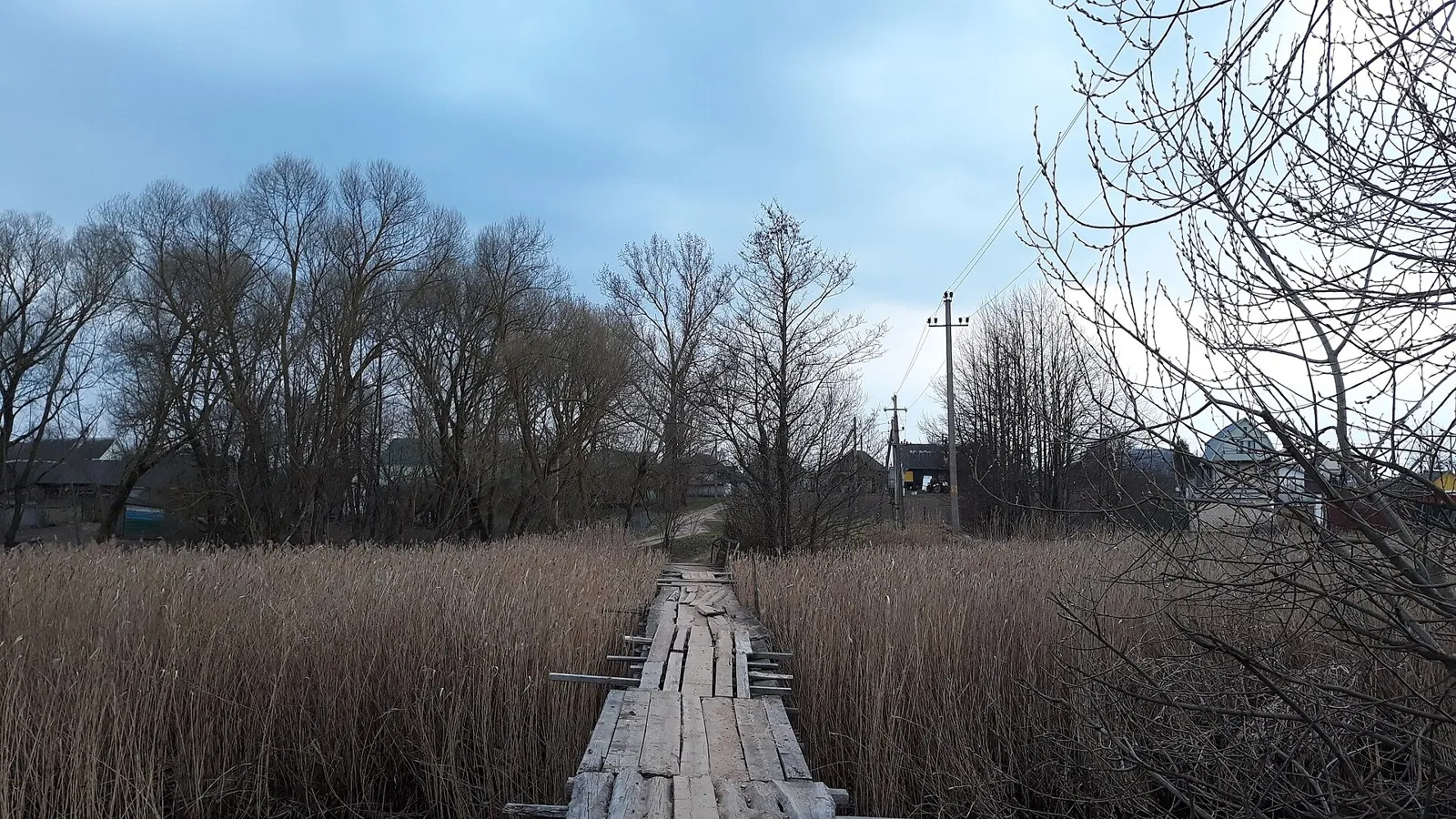
Мостик пока жив, но скоро не будет · Hiking · Multi-day

Shore or waterside sections are recorded on the route along this 71.22 km point-to-point walking route. Gentle terrain: 52 m of total ascent over 71.22 km. Surface: natural ground plus compacted ground. Allow at least 3 days and verify overnight and exit options independently.

71.2 km 132 +52 m Hard
Around Nature Trail "North Loop"
✓ TrailTrack

Around Nature Trail "North Loop"

Hiking · One-day

This is a 5.37 km circular walking route with a complete recorded line to follow from start to finish. Noticeable climbing: 194 m of total ascent over 5.37 km. Estimated moving time is about 1.9 hours; add time for pauses and navigation.

5.4 km 132 +194 m Easy
Shumak Springs and the Pass Crossing to the Southern Road
✓ TrailTrack

Shumak Springs and the Pass Crossing to the Southern Road

Hiking · Multi-day

See the Left Shumak valley change from terraces by the springs through wooded river country to the waterfall side and open pass landscape. The Ekhe-Ger descent reveals another side of the Tunkinsky mountains. A separately planned local walk leaves time for the spring area without forcing it into a demanding crossing day.

40.8 km 132 +1527 m Hard
South of Solzan: Short Unpaved Approaches to the Osinovka Side
✓ TrailTrack

South of Solzan: Short Unpaved Approaches to the Osinovka Side

Hiking · One-day

With confirmed local access, leave Solzan’s village surroundings for wooded unpaved passages and explore the Osinovka-valley approach side. This short approach can be considered independently of a longer mountain hike.

1.8 km 132 +66 m Easy
Nerskaya and Chudesarium: a riverside walk to Antsiferovo
✓ TrailTrack

Nerskaya and Chudesarium: a riverside walk to Antsiferovo

Moscow region · Hiking · One-day

See Chudesarium as it actually stands today, spend time beside the Nerskaya and finish at another railway platform. Choose this established outdoor direction for an independent day combining an unusual handmade landmark with a substantial woodland walk.

23.2 km 132 +139 m Moderate
Chernevo: the Northern Ski Loops of Krasnogorsk Forest
✓ TrailTrack

Chernevo: the Northern Ski Loops of Krasnogorsk Forest

Moscow region · Skiing · One-day

Spend most of the outing among trees and explore the Chernevo loops of the Krasnogorsk skiing network. Steady skiing along clearings alternates with climbing work and careful cornering. Returning almost to the same point works well with a town entrance chosen in advance.

16.0 km 132 +141 m Moderate
Voskresenskoe: Cycling Route · F003
✓ TrailTrack

Voskresenskoe: Cycling Route · F003

Moscow region · Bicycle · One-day

This 3.01 km point-to-point cycling route is shaped by its terrain, surface and pace rather than a single landmark. Rolling terrain: 42 m of total ascent over 3.01 km. Surface: sand plus natural ground. Estimated moving time is about 0.5 hours; add time for pauses and navigation.

3.0 km 132 +42 m Easy
✓ TrailTrack

Palma by Bike: Son Fuster to Cal Capellà Park

Bicycle · One-day

Try a short ride through Palma’s north-eastern neighbourhoods when you want to explore beyond the usual old-town walk. Cal Capellà Park provides a clear destination and a place to finish the outing. The ride also introduces the Son Fuster–Son Cladera direction before you include it in longer journeys around the city.

2.5 km 132 +18 m Easy
Blue Lakes: three-lake walking branches and the southern approach
✓ TrailTrack

Blue Lakes: three-lake walking branches and the southern approach

Hiking · One-day

Compare Glublya, Glubelka and Dead Lake, see the Stracha below the wooded ridge and visit the actual “Old Monk” pine. Several branches introduce different sides of the protected lake complex.

10.1 km 131 +87 m Moderate
Potapovy Luzhki: Separate Politekhnik and Southern Woodland Walks
✓ TrailTrack

Potapovy Luzhki: Separate Politekhnik and Southern Woodland Walks

Hiking · One-day

Visit Potapovy Luzhki’s specific sporting and woodland sides in two independent outings. The northern part includes Politekhnik; the southern part follows longer woodland branches.

9.1 km 131 +88 m Easy
From Sagan-Sair-Daban towards Samarta: an Arlyk-Gol Pass Variant
✓ TrailTrack

From Sagan-Sair-Daban towards Samarta: an Arlyk-Gol Pass Variant

Hiking · One-day

To discover neighbouring valleys of the Kitoy Mountains and their mountain connection. Sagan-Sair-Daban, Arlyk-Gol and Samarta form three distinct landmarks: an open beginning, riverside middle and another valley-side finish. The variant suits a group willing to prepare real approaches and passage first, then observe the mountains at its own measured pace.

15.0 km 131 +701 m Hard
Akademgorodok Botanical Garden: Winter Directions beside the Zyryanka and Beaver Pond
✓ TrailTrack

Akademgorodok Botanical Garden: Winter Directions beside the Zyryanka and Beaver Pond

Skiing · One-day

See the winter Zyryanka valley from woodland paths, reach the forest side of Beaver Pond and pass the bridge on the right ski trail. Choose an outing suited to your ability, leaving time for a waterside pause and the return towards Akademgorodok.

10.1 km 131 +135 m Moderate
Back Page 25 of 79 Next