TrailTrack routes

Маршруты с подготовленным описанием, сложностью, покрытием и планированием визита.

Found 1895 routes
Choose a route from the list or view routes on the map.
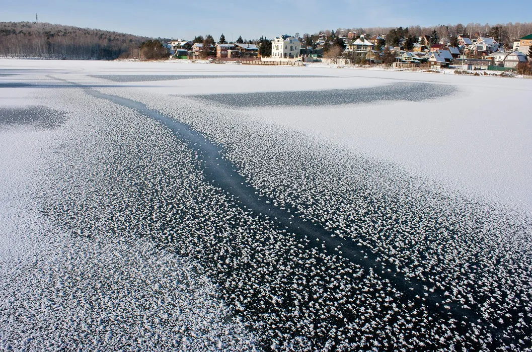
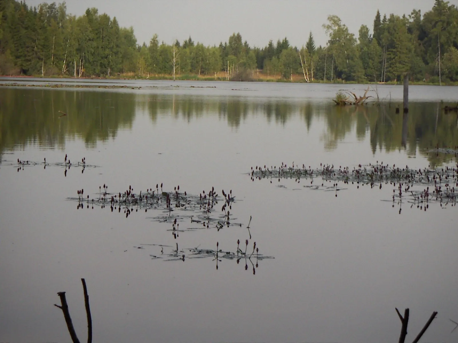
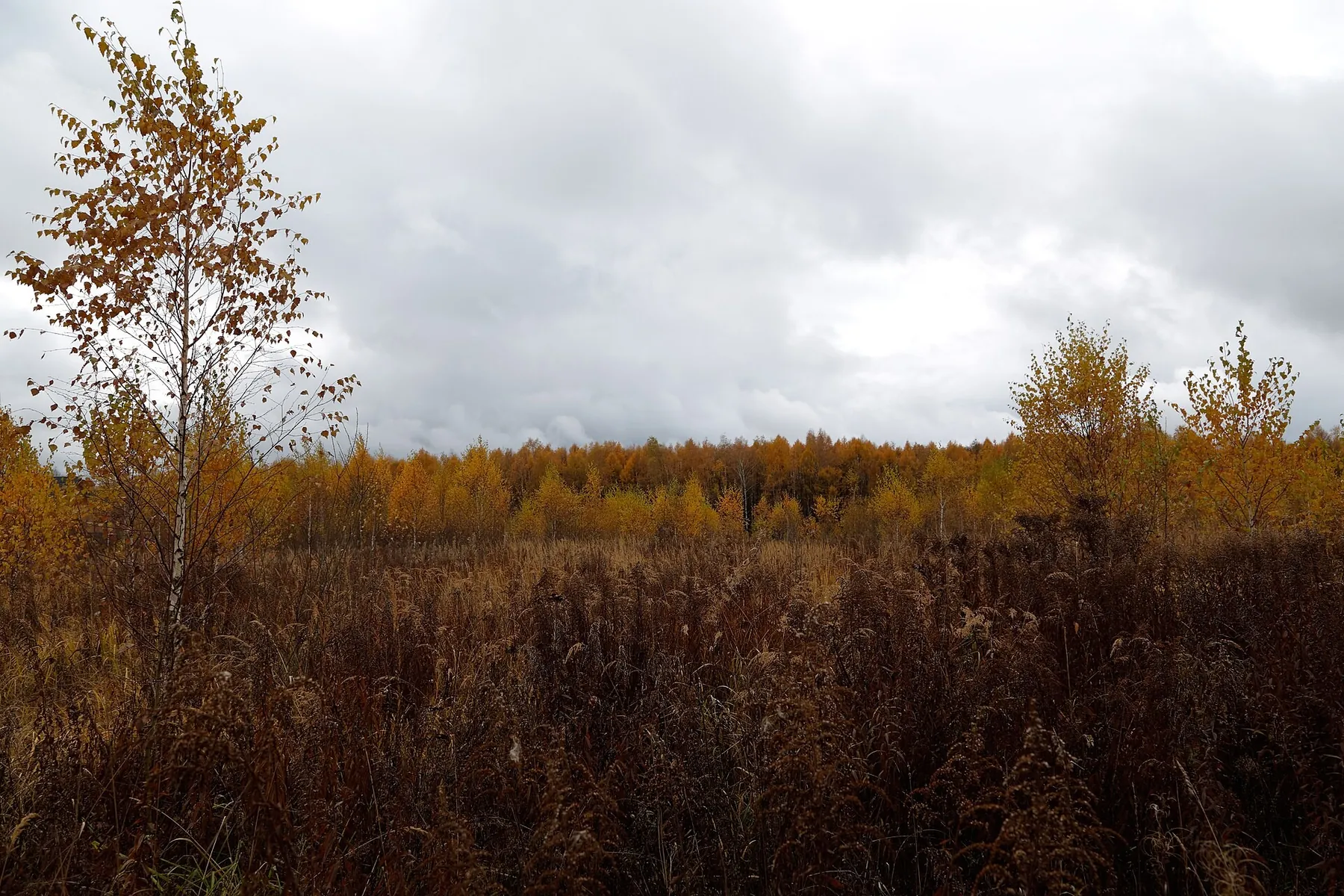
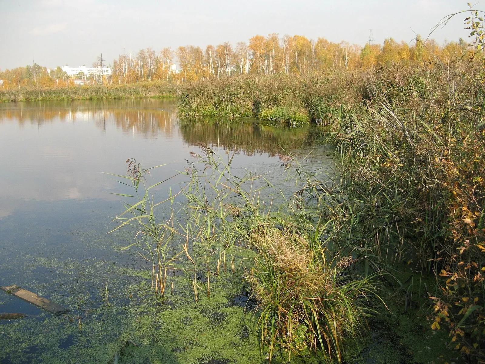
Zelenograd–Mendeleevo: a Summer Walk and Winter Branch beside Woodland Lakes
✓ TrailTrack

Zelenograd–Mendeleevo: a Summer Walk and Winter Branch beside Woodland Lakes

Moscow region · Hiking · One-day

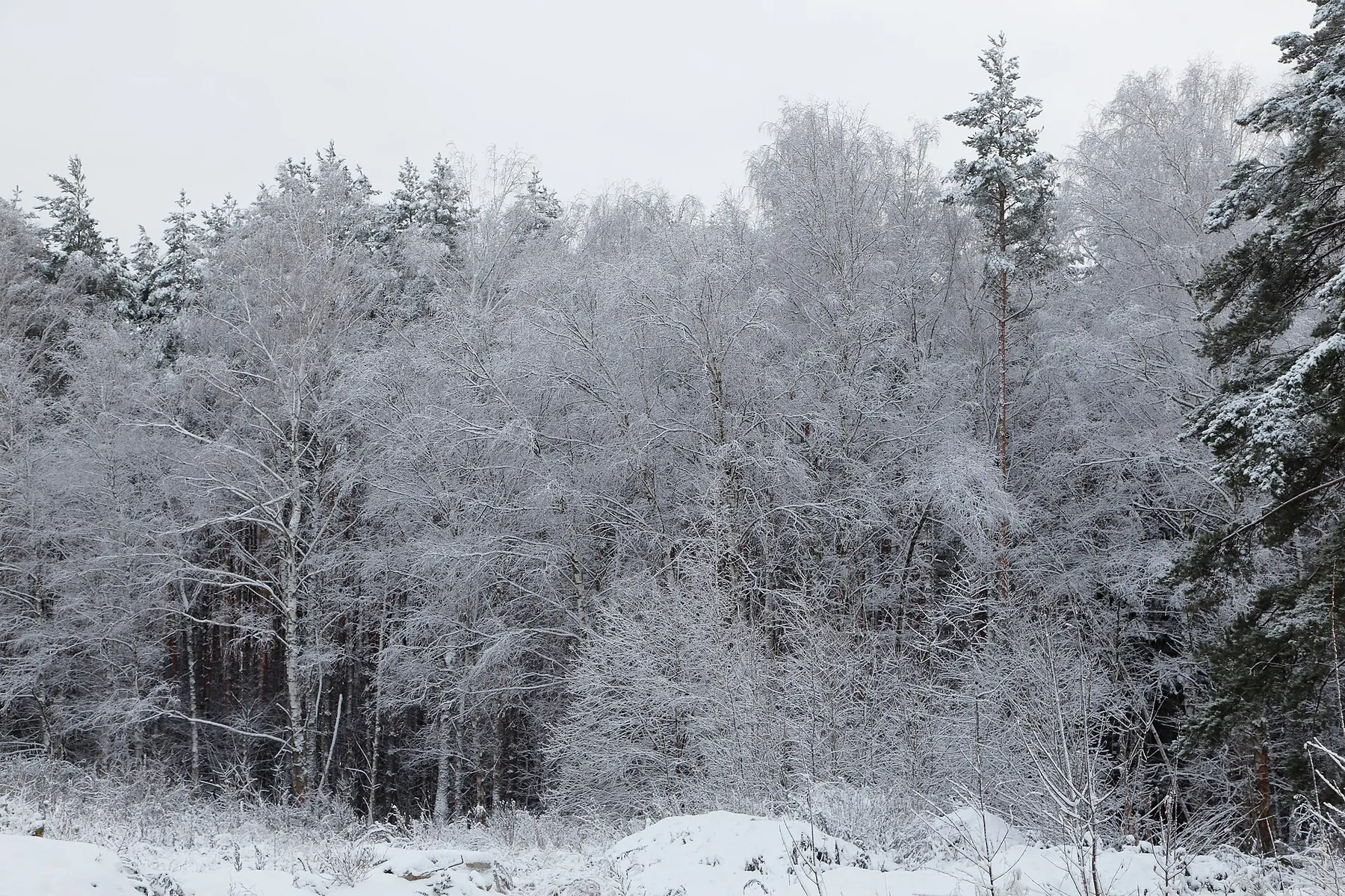
Discover the wooded side of the Zelenograd area: Shkolnoye Lake near Rzhavki, long forest clearings and little lakes among the trees. The seasonal alternatives give you a reason to return at another time of year and explore a different corner of the woods.

18.1 km 116 +85 m Moderate
Lyubimka along the Isloch
✓ TrailTrack

Lyubimka along the Isloch

Мостик · Bicycle · One-day

Mapped stops at Rest Area posle proguli add clear points of interest along the way. Near the water: shore or waterside sections are recorded on the route. Gentle terrain: 56 m of total ascent over 69.5 km. Surface: asphalt plus compacted ground.

69.5 km 115 +56 m Hard
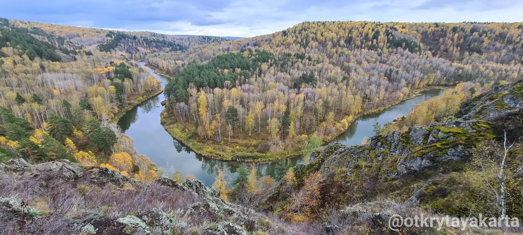
Zveroboy Eco Trail: The Woodland Approach to the Berd Bend Panorama
✓ TrailTrack

Zveroboy Eco Trail: The Woodland Approach to the Berd Bend Panorama

Hiking · One-day

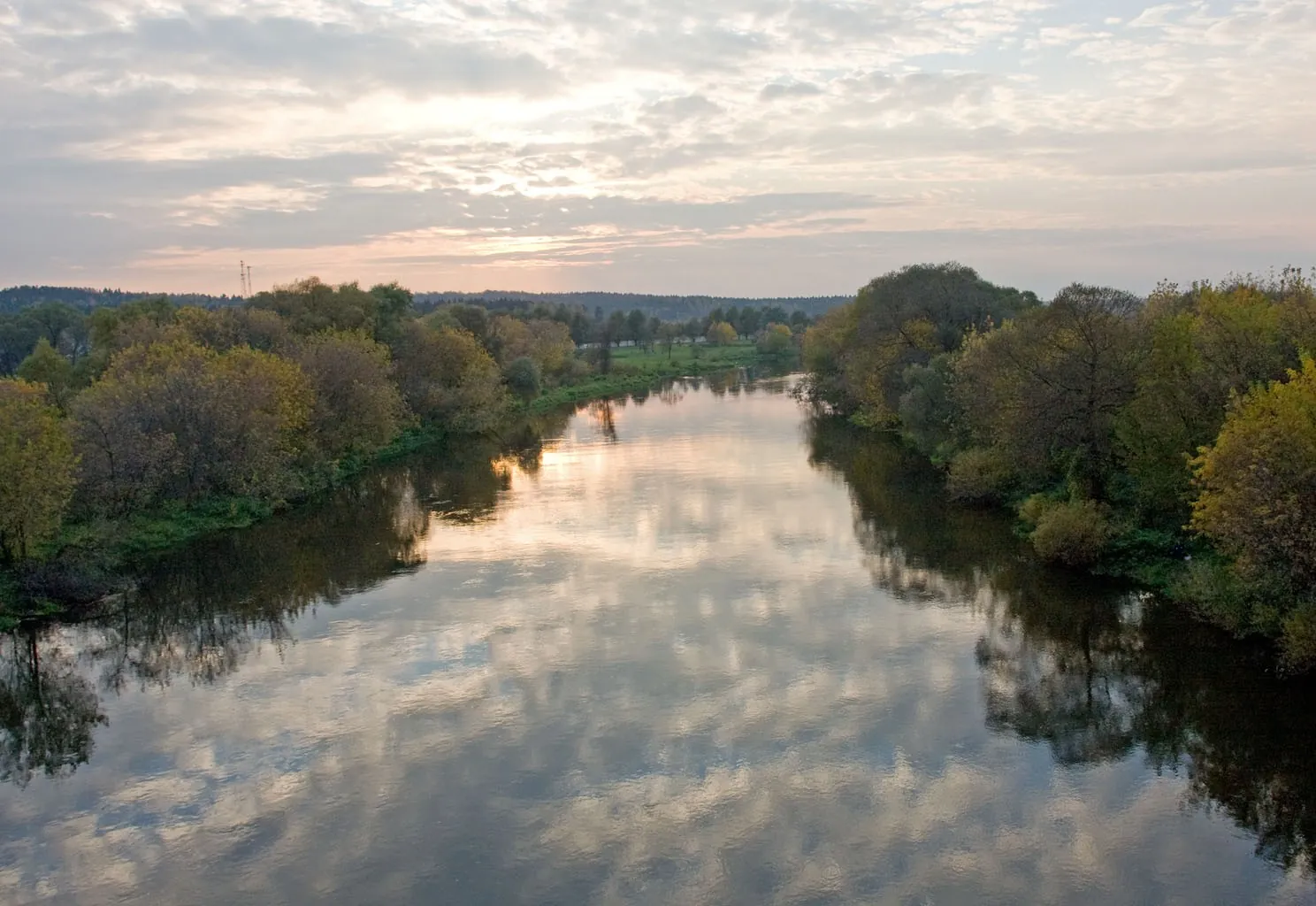
Emerge from the woodland to Zveroboy’s recognisable panorama of the Berd bend. The view reveals the shape of the river valley and its wooded banks. Make this short walking section the day’s main impression, allowing time to look around and return.

1.9 km 115 +62 m Easy
Ergaki’s Great Eastern Sweep: NKT via Big Buyba and Svetloe to Skazka
✓ TrailTrack

Ergaki’s Great Eastern Sweep: NKT via Big Buyba and Svetloe to Skazka

Hiking · Multi-day

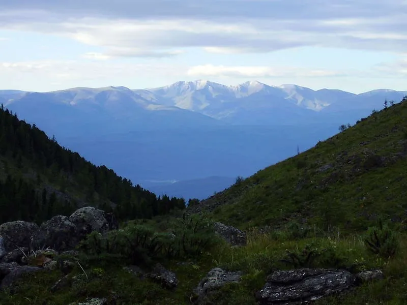
Compare Big Buyba, Big Fishless, Svetloe, Raduzhnoe and Lazurnoe in one extensive journey. Sleeping Sayan Hair Viewpoint and the differing pass sides give the later part its own character.

54.5 km 115 +2146 m Hard
Skalnik Ekvilibrium
✓ TrailTrack

Skalnik Ekvilibrium

Скальник "Эквилибриум" · Hiking · One-day

The main recorded stops are Bridge, making this a route to explore rather than rush through. Noticeable climbing: 146 m of total ascent over 4.18 km. Estimated moving time is about 1.5 hours; add time for pauses and navigation.

4.2 km 115 +146 m Easy
Ski Trail around Ershovskogo Gulf: Following the Coast to Wide Horizons
✓ TrailTrack

Ski Trail around Ershovskogo Gulf: Following the Coast to Wide Horizons

Skiing · One-day

Expect shore or waterside sections are recorded on the route on this 17.22 km point-to-point cross-country skiing route. Noticeable climbing: 571 m of total ascent over 17.22 km. Estimated moving time is about 3.8 hours; add time for pauses and navigation.

17.2 km 115 +571 m Moderate
via Ershovskiy Gulf: Between Sea and Land: Ski Trail Circuit
✓ TrailTrack

via Ershovskiy Gulf: Between Sea and Land: Ski Trail Circuit

Skiing · One-day

The recorded line is a 19.5 km circular cross-country skiing route, with shore or waterside sections are recorded on the route. Noticeable climbing: 632 m of total ascent over 19.5 km. Estimated moving time is about 4.3 hours; add time for pauses and navigation.

19.5 km 115 +632 m Moderate
Radonezh: the training ski circuit with a Beklemishevo-side extension
✓ TrailTrack

Radonezh: the training ski circuit with a Beklemishevo-side extension

Moscow region · Skiing · Multi-day

Extend the Radonezh ski arc with an independent Beklemishevo-side passage and see the Yakhroma at two different locations. The outer western passage, additional southwestern section and inner return give the training journey its own sequence.

59.3 km 115 +961 m Hard
Strogino to Perkhushkovo: Troitse-Lykovo, Podushkino Forest and Laykovo
✓ TrailTrack

Strogino to Perkhushkovo: Troitse-Lykovo, Podushkino Forest and Laykovo

Moscow region · Run · One-day

Combine a substantial woodland run with two different village histories: Troitse-Lykovo beside the Moscow River and Laykovo on the western continuation. Churches, the Odintsovo-2 place and real streams give the journey several changes of character. Perkhushkovo’s railway provides a useful return point when time and stamina are kept in reserve.

36.6 km 115 +411 m Hard
Nakhabino to Perkhushkovo via the Lipka: Ponds and the Petrovo-Dalneye Crossing
✓ TrailTrack

Nakhabino to Perkhushkovo via the Lipka: Ponds and the Petrovo-Dalneye Crossing

Moscow region · Run · One-day

Travel from small ponds to a large river, then return to quieter woodland valleys. Semin and Bykov ponds invite brief stops, the Lipka suits a separately chosen snack break, and the Moscow River crossing gives a sense of the journey’s scale. Different railway endpoints let the day finish on another side of the region.

34.6 km 115 +558 m Hard
Snegiri–Surmino–Zvenigorod: Istra and Storozhka Valleys
✓ TrailTrack

Snegiri–Surmino–Zvenigorod: Istra and Storozhka Valleys

Moscow region · Run · One-day

Choose a woodland day with distinct historical and riverside stops: look at the church in Luzhki, pause beside the Istra, and reach the Storozhka valley and Dyutkovo. These places combine well with a separately arranged Taneyev Museum visit. A carefully chosen accessible section with a clear return plan will make a more rewarding day without the unresolved railway crossing.

43.9 km 115 +583 m Hard
✓ TrailTrack

Povarovo to Istra: the Chermet bend and two parts of Polevshchinsky Forest

Moscow region · Run · One-day

Run from Povarovo towards Istra through actually visited parts of Polevshchinsky Forest. The western Chermet bend and southern woodland continuation give this version its own shape, while finishing on the Riga railway side allows a return by public transport.

35.9 km 115 +390 m Hard
Skolkovo to Strogino in Summer: Hidden Ravine and the South Side of High Glade
✓ TrailTrack

Skolkovo to Strogino in Summer: Hidden Ravine and the South Side of High Glade

Moscow region · Run · One-day

Spend an evening moving from Nemchinovka towards Romashkovo Forest and Strogino, meeting Chachenka Stream, Hidden Ravine and High Glade. This directed outing connects the suburbs with Moscow, while the metro return removes the need to repeat the woodland passage.

16.5 km 115 +262 m Moderate
Dombrovka and Pillboxes: The Compact Cycling Circuit
✓ TrailTrack

Dombrovka and Pillboxes: The Compact Cycling Circuit

Bicycle · One-day

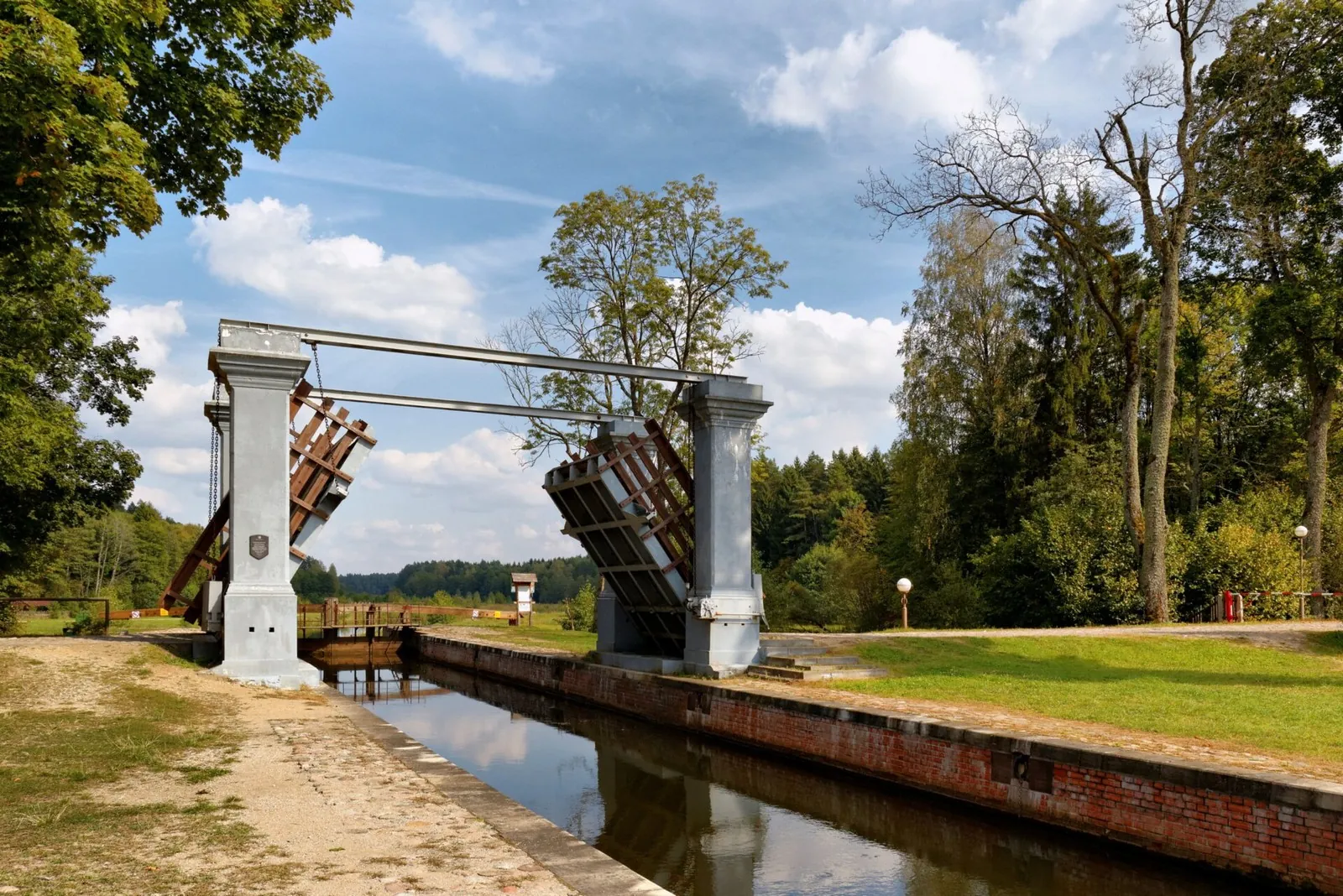
Choose a compact circuit with a clear waterside departure and several heritage pauses. Dombrovka illustrates canal engineering, while the surviving pillbox adds military context without a separate journey to distant fortress sites.

13.6 km 114 +66 m Moderate
Woodland approach sections in the Zangisan area
✓ TrailTrack

Woodland approach sections in the Zangisan area

Hiking · One-day

Prepare the woodland approach around Zangisan and walk its accessible part after checking local conditions. The interest lies in taiga travel and navigation on old roads; a specific named destination remains unestablished.

7.1 km 114 +618 m Moderate
Western ridge passage via Bosan to Margasanskaya Hill
✓ TrailTrack

Western ridge passage via Bosan to Margasanskaya Hill

Hiking · Multi-day

Follow mountain ridges to two specific summits: Bosan and Margasanskaya Hill. It explores the inner Khamar-Daban through the natural sequence of its high divides.

28.1 km 114 +2187 m Hard
Winter Bolshoy Sayan: Turgen-Gol Circuit, Topografov Peak and the Unfinished Choigan Exit
✓ TrailTrack

Winter Bolshoy Sayan: Turgen-Gol Circuit, Topografov Peak and the Unfinished Choigan Exit

CAMP0 · Skiing · Multi-day

For the changing Sayan landscape: the Tissa and Khelgin valleys, lakes below Topografov Peak, the Arzhan-Khem pass country and Choigan springs among forest. The opening circuit explores the Turgen-Gol area and 23 February Pass. Selecting individually prepared stages allows a closer acquaintance with these places without a commitment to repeat the whole historical journey.

120.9 km 114 +4448 m Hard
Purple Trail to Manskaya Baba
✓ TrailTrack

Purple Trail to Manskaya Baba

Hiking · One-day

The recorded line is a 3.6 km point-to-point walking route, with mapped viewpoints occur along the way. Noticeable climbing: 96 m of total ascent over 3.6 km. Surface: natural ground. Estimated moving time is about 1.3 hours; add time for pauses and navigation.

3.6 km 114 +96 m Easy
Winter Ergaki and Aradan: The 2019 Dragon’s Tooth and Emerald Guitar Expedition
✓ TrailTrack

Winter Ergaki and Aradan: The 2019 Dragon’s Tooth and Emerald Guitar Expedition

база Тушканчик · Skiing · Multi-day

Explore winter lake basins in both areas and combine Ergaki with an Aradan continuation. Tushkanchik and Dragon’s Tooth radial ascents, Lazurnoe and the later Emerald Guitar give this historical version its own character.

171.2 km 114 +4361 m Hard
Around from Orekhovoy Padi to Versh. Zolotoy
✓ TrailTrack

Around from Orekhovoy Padi to Versh. Zolotoy

Hiking · One-day

Mapped viewpoints occur along the way along this 20.24 km circular walking route. Strong mountain relief: 1380 m of total ascent over 20.24 km. Estimated moving time is about 8.2 hours; add time for pauses and navigation.

20.2 km 114 +1380 m Hard
Klimovsk on Skis: The Southwestern Skating Loop from the Woodland Start
✓ TrailTrack

Klimovsk on Skis: The Southwestern Skating Loop from the Woodland Start

Moscow region · Skiing · One-day

Ski through the southwestern part of Klimovsk’s woodland and return to a familiar start. This option changes a usual northern lap while retaining a clear return point. After a relaxed first outing, decide whether to continue training or finish before the journey home.

3.4 km 114 +60 m Easy
Kaspersky Race: Children’s Trail
✓ TrailTrack

Kaspersky Race: Children’s Trail

Hiking · One-day

Woodland is one of the route's main features along this 1.56 km circular walking route. Noticeable climbing: 39 m of total ascent over 1.56 km. Surface: natural ground. Estimated moving time is about 0.7 hours; add time for pauses and navigation.

1.6 km 113 +39 m Easy
Vileyka Loop: Quiet-road variant
✓ TrailTrack

Vileyka Loop: Quiet-road variant

КП2, Сосенка, 169км · Bicycle · Multi-day

This is a 301.55 km point-to-point cycling route. Woodland is one of the route's main features. Gentle terrain: 165 m of total ascent over 301.55 km. Surface: asphalt. Allow at least 4 days and verify overnight and exit options independently.

301.6 km 113 +165 m Hard
Pyshki Health Trail: the earth fort and the Neman bank
✓ TrailTrack

Pyshki Health Trail: the earth fort and the Neman bank

Bicycle · One-day

This version combines the ordinary pleasures of Grodno’s forest park with the unexpected earth fort. The Neman gives the walk a clear focus, and Usiki offers a specific riverside stopping place. Walking and relaxed cycling are both options.

6.5 km 113 +42 m Easy
Back Page 32 of 79 Next