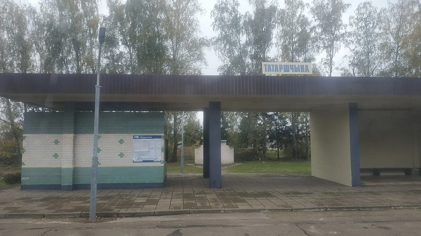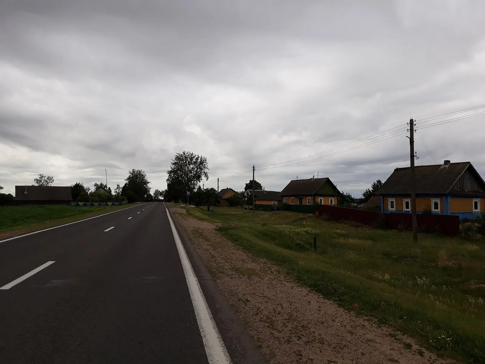
A Grand Brest-Region Bicycle Circuit: Chernavchitsy and Kamenets
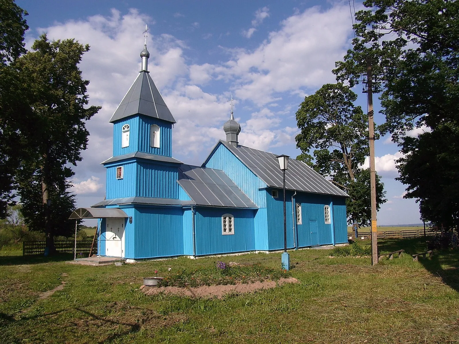
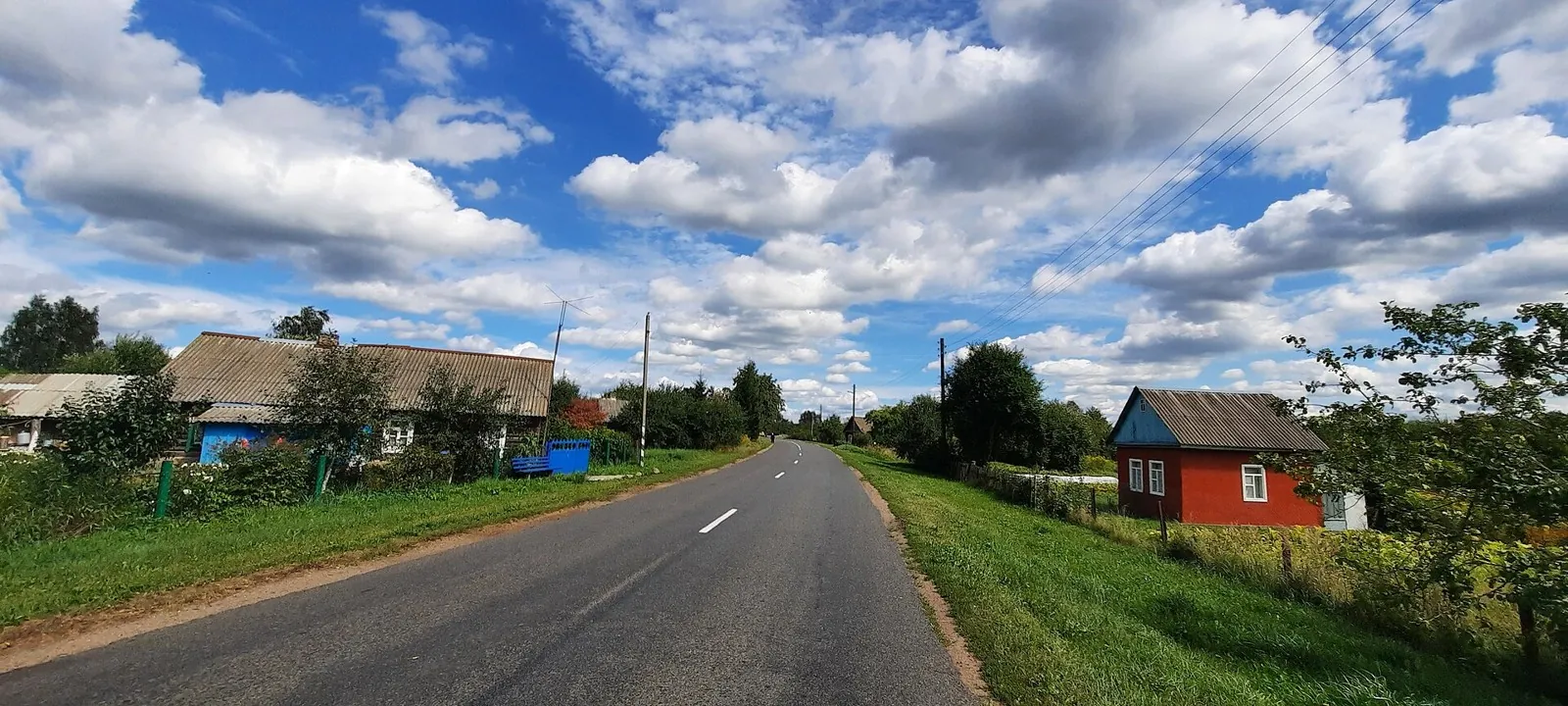
Trinity Church and Kamenets Tower give this large bicycle circuit definite historical destinations. The returning half introduces another part of the region’s rural surroundings.
Маршруты с подготовленным описанием, сложностью, покрытием и планированием визита.
Trinity Church and Kamenets Tower give this large bicycle circuit definite historical destinations. The returning half introduces another part of the region’s rural surroundings.
The upper portion gives close path-side views of Eagle Rocks and Prometheus. Use this distinct version to understand the internal path after checking permitted walking access; a ready bicycle passage is unconfirmed.
Plan this 16.96 km point-to-point cycling route from its verified distance, gradients and recorded surface rather than unconfirmed landmarks. Estimated moving time is about 2.4 hours; add time for pauses and navigation.
Walk through the Vulkashiki side from the road start, see the western outlook towards Esso and finish via Pionerskaya Hill in the village. The reverse sequence gives a gradual return from remote plateau to a familiar valley.
Explore the southern side of Gorely’s crater landscape and see the small Side Crater formation from an external passage. The open volcanic slope is a worthwhile destination when the permitted outing matches conditions on the day.
Finish a sequence of Jumgal crossings near the Ak-Kol approach and choose an onward journey: a separate lakeside visit or a further mountain trek.
Cross the linking saddle between two Jumgal valley approaches. It makes a worthwhile mountain stage for walkers combining several local crossings into an independent journey.
Walk high Arabel beside the named Ittyshi, Kichi-Maitor and Arabel-Suu watercourses and discover Naryn headwater country. Choose this variant for its open river landscape and a gradual journey across the syrts.
Expect shore or waterside sections are recorded on the route on this 200.87 km point-to-point walking route. Gentle terrain: 139 m of total ascent over 200.87 km. Surface: asphalt. Allow at least 9 days and verify overnight and exit options independently.
This 37.93 km circular walking route passes through terrain where woodland is one of the route's main features. Gentle terrain: 136 m of total ascent over 37.93 km. Surface: compacted ground plus asphalt. Allow at least 2 days and verify overnight and exit options independently.
This 604.96 km point-to-point cycling route passes through terrain where woodland is one of the route's main features. Gentle terrain: 496 m of total ascent over 604.96 km. Surface: asphalt. Allow at least 8 days and verify overnight and exit options independently.
The recorded line is a 205.73 km circular cycling route, with woodland is one of the route's main features. Gentle terrain: 407 m of total ascent over 205.73 km. Surface: asphalt. Allow at least 3 days and verify overnight and exit options independently.
Woodland is one of the route's main features along this 200.03 km circular cycling route. Gentle terrain: 315 m of total ascent over 200.03 km. Surface: asphalt plus concrete. Allow at least 3 days and verify overnight and exit options independently.
The recorded line is a 18.23 km circular cycling route, with the route includes sites with cultural context. Gentle terrain: 40 m of total ascent over 18.23 km. Surface: asphalt plus compacted ground. Estimated moving time is about 1.7 hours; add time for pauses and navigation.
Treat this 1.15 km circular cross-country skiing route as a complete outing, paying attention to the terrain and changing surface underfoot. Noticeable climbing: 32 m of total ascent over 1.15 km. Surface: natural ground plus improved surface. Estimated moving time is about 0.4 hours; add time for pauses and navigation.
Plan this 5.44 km point-to-point cycling route from its verified distance, gradients and recorded surface rather than unconfirmed landmarks. Estimated moving time is about 0.8 hours; add time for pauses and navigation.
The upper rotunda and Red Rocks reveal different park settings: an exposed hillside and more intimate sandstone corners among the avenues. A finish beside spa architecture gives the descent a clear town-side conclusion.
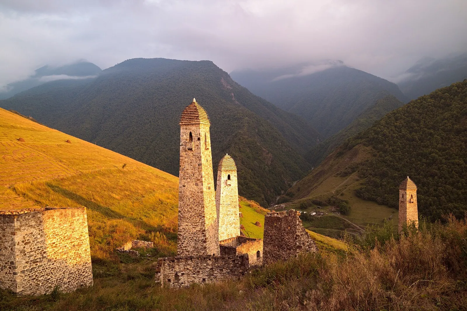
Walk between Ingushetia’s tower complexes and experience Egikal, Khamkhi and Targim as parts of one historic landscape. Travelling east from Ezmi allows longer pauses where vehicle excursions often make brief stops.
Plan this 14.91 km point-to-point walking route from its verified distance, gradients and recorded surface rather than unconfirmed landmarks. Estimated moving time is about 4.4 hours; add time for pauses and navigation.
The northern slope reveals Elbrus through mountain meadows, rock bands and glacial terrain. The Eastern summit, saddle and Western summit form a distinct mountain sequence for a prepared party with a safe continuation and descent arranged beforehand.
Discover the Tsurov tower, Furtoug waterfall and Egikal within an extended journey through mountain Ingushetia. Tsey-Loam Pass helps reveal how the monuments relate to the Armkhi and Assa valleys.
Walk from spacious Alamedin valley to the waterfall in its side gorge and experience the gradual change from a river walk to a small mountain ascent.
Connect the Djily-Suu hot springs, Shatyly Valley and Echo Pass with the Kok-Zhaiyk pastures. The appeal lies in the change between two valleys and the story behind Echo’s name, best recalled beneath the pass slope.
After access is confirmed, see the actual Turgen Valley, Assy Plateau and a specific scientific observatory’s exterior on independently organised cycling sections. Different upper directions provide distinct mountain settings while requiring an agreed individual plan.
Pick where to start
Share a trip