TrailTrack routes

Маршруты с подготовленным описанием, сложностью, покрытием и планированием визита.

Found 1895 routes
Choose a route from the list or view routes on the map.
Kyzyl-Kasa: a Pass Day towards the Ak-Töbe Valley
✓ TrailTrack

Kyzyl-Kasa: a Pass Day towards the Ak-Töbe Valley

Hiking · One-day

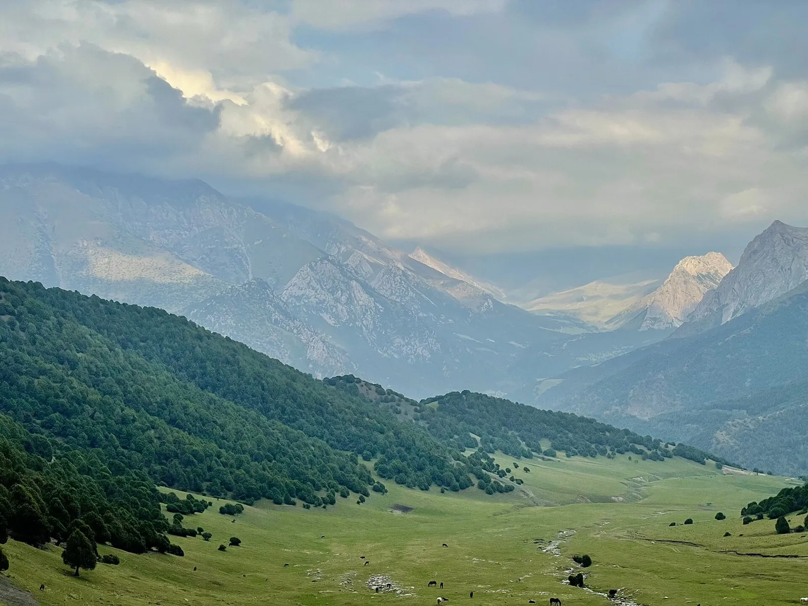
For the Kyzyl-Kasa crossing from the Kyrgyz-Ata system towards Ak-Töbe. The saddle reveals the divide between neighbouring northern Kichik-Alay valleys.

15.4 km 83 +1044 m Moderate
Keskenkiya: Jyrgalan’s Pass Valleys and the Northern Approach
✓ TrailTrack

Keskenkiya: Jyrgalan’s Pass Valleys and the Northern Approach

Hiking · Multi-day

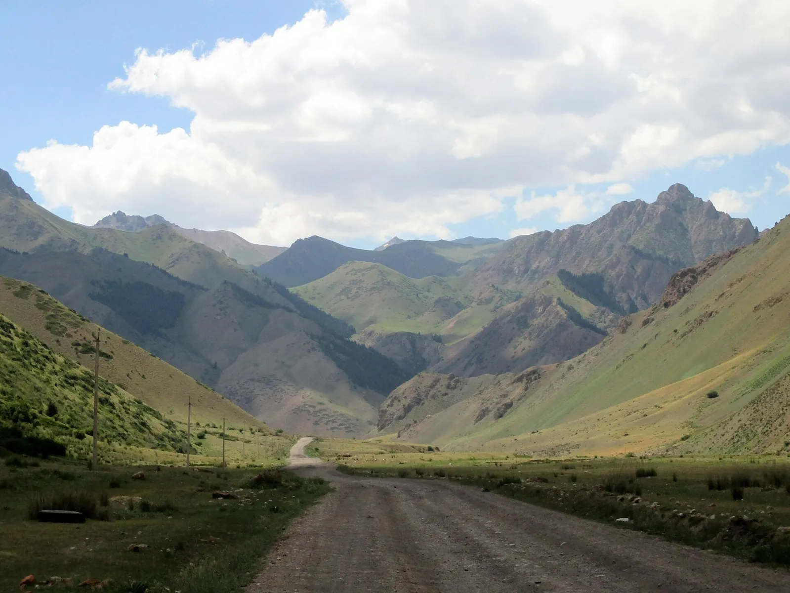
Walk Keskenkiya’s named passes and return to Jyrgalan after exploring several valleys. The village base helps organise overnight stops and discuss conditions with a local guide.

88.4 km 83 +1963 m Hard
Kurgaktor and the Hot Springs of Altyn-Arashan
✓ TrailTrack

Kurgaktor and the Hot Springs of Altyn-Arashan

Hiking · One-day

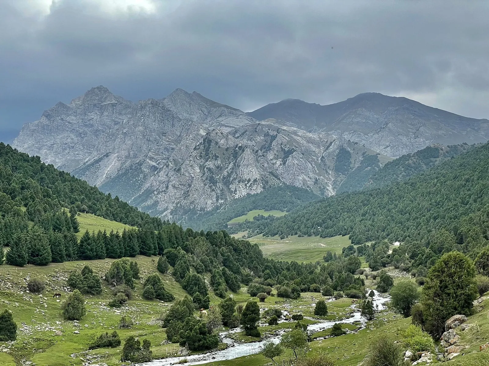
The appeal is Kurgaktor itself and the transition from rocky pass country to Altyn-Arashan’s thermal valley. Choose that combination as a prepared mountain journey after identifying the continuation beyond the springs.

20.5 km 83 +1503 m Moderate
Tegermetch: descending the gorge to the Isfayram-Say
✓ TrailTrack

Tegermetch: descending the gorge to the Isfayram-Say

Hiking · One-day

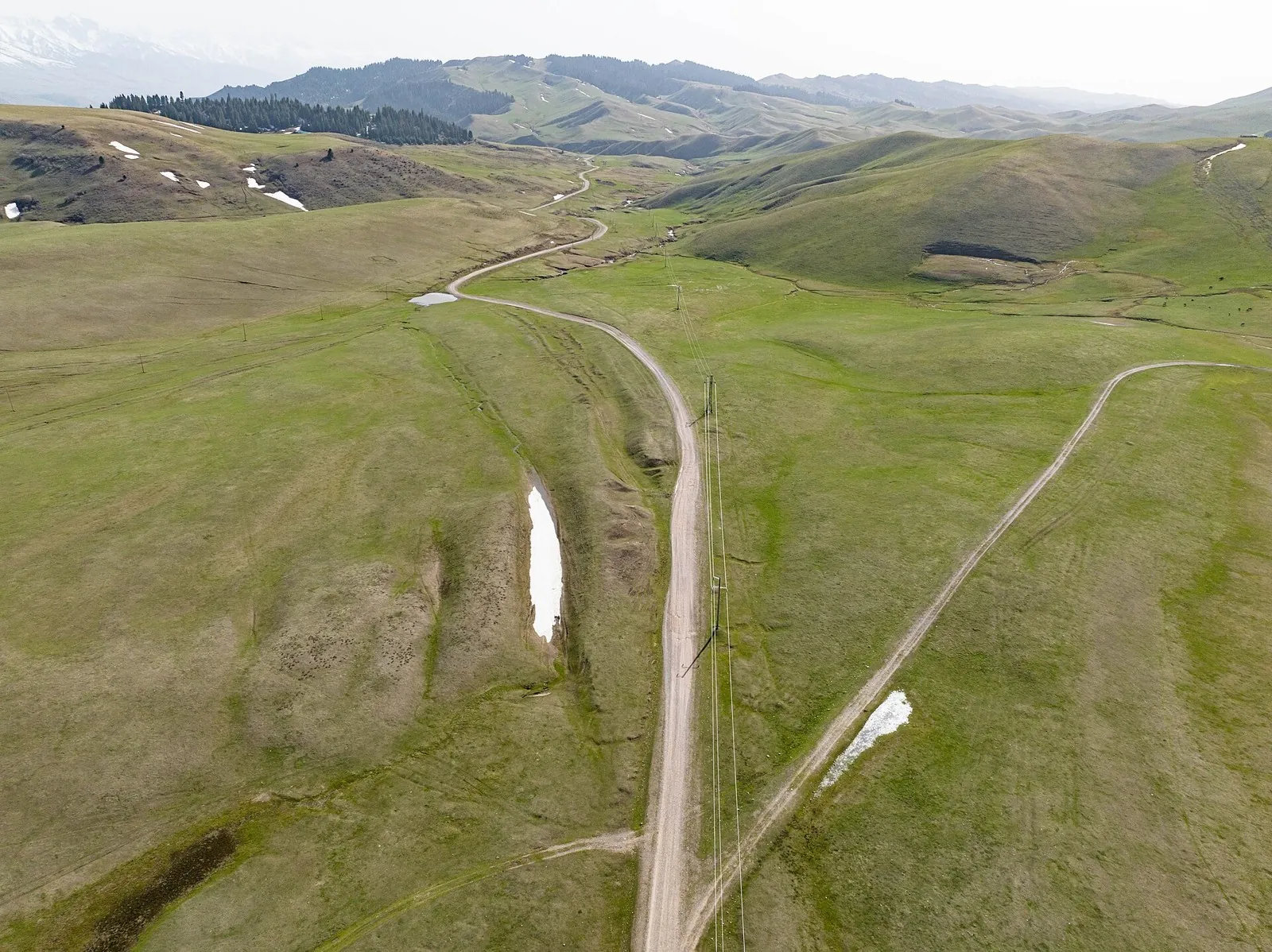
To follow the Tegermetch corridor into the main Isfayram-Say valley. Its defining places are the sections where the rock walls draw close above the river.

12.6 km 83 +166 m Moderate
Manshuk Lake via Alpingrad towards Shymbulak
✓ TrailTrack

Manshuk Lake via Alpingrad towards Shymbulak

Hiking · One-day

See Manshuk Mametova Lake beside the actual high departure and follow the descent through Alpingrad into a specific mountain valley. This variant suits a prepared group with confirmed access to the lake.

7.5 km 83 +22 m Moderate
Eight Shamalgan and Uzyn Kargaly Passes from Kasymbeksay
✓ TrailTrack

Eight Shamalgan and Uzyn Kargaly Passes from Kasymbeksay

Hiking · Multi-day

Link eight identifiable passes in western Trans-Ili Alatau and watch the arrangement of valleys change with each ridge crossing. Milky Quartz and Fluorite provide a distinctive pair of mineral names before the far turn through Meduza.

57.2 km 83 +2901 m Hard
New Year Fir Trees: via Orsha
✓ TrailTrack

New Year Fir Trees: via Orsha

КП0. Ялінка каля ДК БГСХА · Bicycle · Multi-day

This 205 km point-to-point cycling route passes through terrain where shore or waterside sections are recorded on the route. Gentle terrain: 215 m of total ascent over 205 km. Surface: asphalt. Allow at least 3 days and verify overnight and exit options independently.

205.0 km 83 +215 m Hard
Towards Summer: Southern route
✓ TrailTrack

Towards Summer: Southern route

КП4 Бібліятэка БГСХА · Bicycle · Multi-day

The recorded line is a 204.08 km point-to-point cycling route, with shore or waterside sections are recorded on the route. Gentle terrain: 169 m of total ascent over 204.08 km. Surface: asphalt. Allow at least 3 days and verify overnight and exit options independently.

204.1 km 83 +169 m Hard
Rakov Loop: Scenic variant
✓ TrailTrack

Rakov Loop: Scenic variant

КП2, Бояры, 64км · Bicycle · Multi-day

This 202.09 km point-to-point cycling route passes through terrain where woodland is one of the route's main features. Gentle terrain: 465 m of total ascent over 202.09 km. Surface: asphalt. Allow at least 3 days and verify overnight and exit options independently.

202.1 km 83 +465 m Hard
Lake Country Route: scenic circuit
✓ TrailTrack

Lake Country Route: scenic circuit

КП1, Ивенец, 67км · Bicycle · Multi-day

The recorded line is a 599.47 km point-to-point cycling route, with shore or waterside sections are recorded on the route. Gentle terrain: 627 m of total ascent over 599.47 km. Surface: asphalt. Allow at least 8 days and verify overnight and exit options independently.

599.5 km 83 +627 m Hard
Minsk Loop: via Malyavki
✓ TrailTrack

Minsk Loop: via Malyavki

КП Королищевичи, 23км · Bicycle · Multi-day

Treat this 105.58 km circular cycling route as a complete outing, paying attention to the terrain and changing surface underfoot. Gentle terrain: 184 m of total ascent over 105.58 km. Allow at least 2 days and verify overnight and exit options independently.

105.6 km 83 +184 m Hard
Spring Sunrise
✓ TrailTrack

Spring Sunrise

Bicycle · Multi-day

This 201.64 km circular cycling route is shaped by its terrain, surface and pace rather than a single landmark. Gentle terrain: 240 m of total ascent over 201.64 km. Allow at least 3 days and verify overnight and exit options independently.

201.6 km 83 +240 m Hard
Gomel: Road between Towns: via Khoiniki
✓ TrailTrack

Gomel: Road between Towns: via Khoiniki

ЧЕБУРЕКИ КП1 · Hiking · Multi-day

Expect woodland is one of the route's main features on this 306.94 km circular walking route. Gentle terrain: 175 m of total ascent over 306.94 km. Surface: asphalt plus improved surface. Allow at least 13 days and verify overnight and exit options independently.

306.9 km 83 +175 m Hard
Mitskevichi: A Quiet Nature Trail
✓ TrailTrack

Mitskevichi: A Quiet Nature Trail

Hiking · One-day

Expect the route includes sites with cultural context on this 5.32 km point-to-point walking route. Gentle terrain: 16 m of total ascent over 5.32 km. Estimated moving time is about 1.6 hours; add time for pauses and navigation.

5.3 km 83 +16 m Easy
Kukhka from Lumivaara: Eastern Bays and a Southern Branch
✓ TrailTrack

Kukhka from Lumivaara: Eastern Bays and a Southern Branch

райская бухта · Boat · Multi-day

See northern and eastern Kukhka and pass Lammasaari and Loukiosaari. The separate southern branch offers another angle and the shore beside Kyarpyasensaari.

38.2 km 82 +0 m Hard
Walking Route in the Caucasus — 1,6 km
✓ TrailTrack

Walking Route in the Caucasus — 1,6 km

Caucasus · Hiking · One-day

Plan this 1.62 km point-to-point walking route from its verified distance, gradients and recorded surface rather than unconfirmed landmarks. Estimated moving time is about 0.6 hours; add time for pauses and navigation.

1.6 km 82 +0 m Easy
Walking Route in — the Caucasus, 4.57 km
✓ TrailTrack

Walking Route in — the Caucasus, 4.57 km

Caucasus · Hiking · One-day

Plan this 4.57 km point-to-point walking route from its verified distance, gradients and recorded surface rather than unconfirmed landmarks. Estimated moving time is about 1.3 hours; add time for pauses and navigation.

4.6 km 82 +0 m Easy
Walking Route in the Caucasus — 2,3 km
✓ TrailTrack

Walking Route in the Caucasus — 2,3 km

Caucasus · Hiking · One-day

Plan this 2.25 km point-to-point walking route from its verified distance, gradients and recorded surface rather than unconfirmed landmarks. Estimated moving time is about 0.8 hours; add time for pauses and navigation.

2.3 km 82 +0 m Easy
Vladikavkaz via Dzheyrakh and Beini to Tsey-Loam Pass
✓ TrailTrack

Vladikavkaz via Dzheyrakh and Beini to Tsey-Loam Pass

Hiking · Multi-day

Walk from Vladikavkaz towards mountain Ingushetia, visit the Tsurov tower and finish at Tsey-Loam Pass. The extended approach reveals the gradual change from the urban valley to exposed mountain slopes.

69.8 km 82 +2689 m Hard
Trail to the Vinegrower's House
✓ TrailTrack

Trail to the Vinegrower's House

Hiking · One-day

Plan this 3.93 km point-to-point walking route from its verified distance, gradients and recorded surface rather than unconfirmed landmarks. Estimated moving time is about 1.2 hours; add time for pauses and navigation.

3.9 km 82 +0 m Easy
The Stone Camel: eastern circuit from Avachinsky ranger station
✓ TrailTrack

The Stone Camel: eastern circuit from Avachinsky ranger station

Hiking · One-day

Approach the stone Camel from the Avachinsky ranger-station side and view two volcanoes across open mountain terrain. The viewpoint offers time to study the extrusion’s shape before reaching the upper rocks.

2.7 km 82 +0 m Moderate
Talovskiye to Central: woodland return via Malysh and Babye
✓ TrailTrack

Talovskiye to Central: woodland return via Malysh and Babye

Hiking · One-day

Return from the Talovaya valley through named Malysh Pass towards Babye’s woodland side and the central ranger-station area. The passage shows different parts of the Nalychevo valley, while the museum side near the finish connects it with the history of local exploration.

11.4 km 82 +0 m Moderate
Jindi-Bel: from Akart towards the Jash Valley
✓ TrailTrack

Jindi-Bel: from Akart towards the Jash Valley

Hiking · One-day

To cross Jindi-Bel from the Akart valley towards the Jash. The change of river catchment beyond the saddle defines this compact crossing.

8.8 km 82 +511 m Easy
Donguz and Ming-Kush with a Sary-Bulun Valley Excursion
✓ TrailTrack

Donguz and Ming-Kush with a Sary-Bulun Valley Excursion

Hiking · Multi-day

Cross Donguz from Kara-Keche towards Ming-Kush and explore the valley direction towards Sary-Bulun as a separate addition. The named mountain saddle is the journey’s central reference, followed by a continuation that needs careful logistics.

68.1 km 82 +1062 m Hard
Back Page 55 of 79 Next