TrailTrack routes

Маршруты с подготовленным описанием, сложностью, покрытием и планированием визита.

Found 1895 routes
Choose a route from the list or view routes on the map.
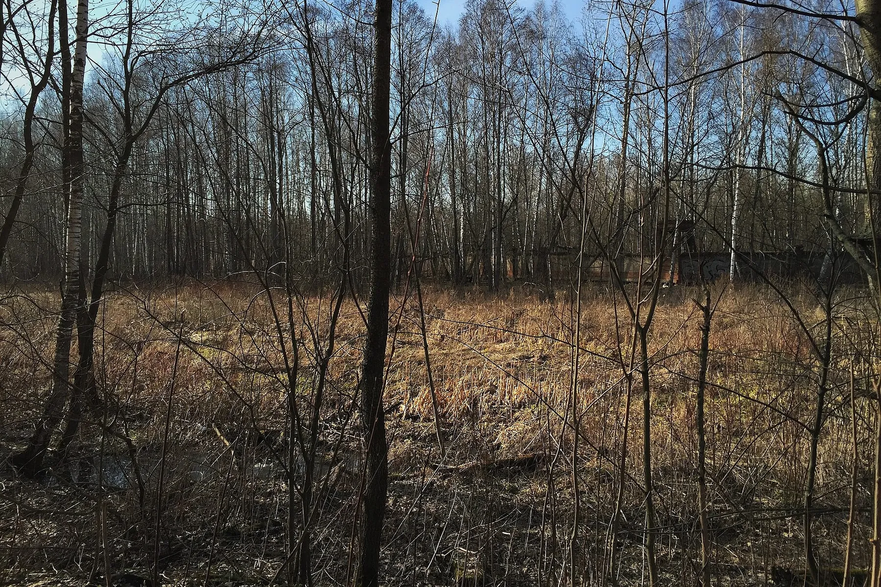
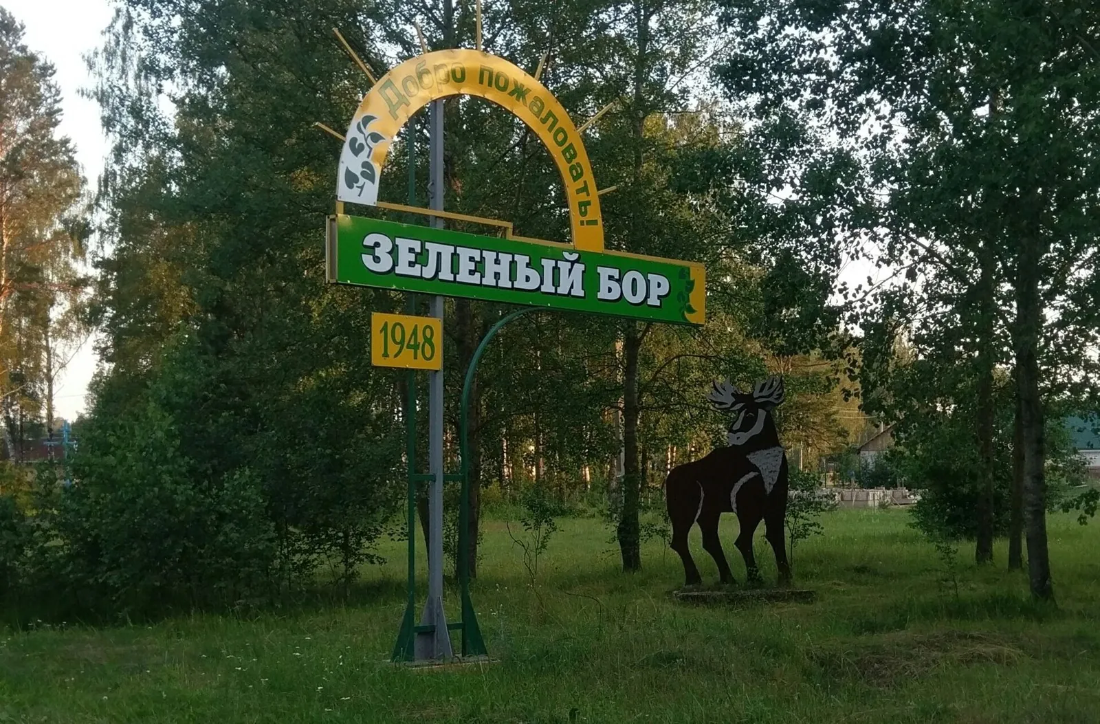
Zeleny Bor Winter Forest Trail
✓ TrailTrack

Zeleny Bor Winter Forest Trail

Насыпь узкоколейки, малоиспользуемый участок · Hiking · One-day

This is a 21.59 km circular walking route. Woodland is one of the route's main features. Gentle terrain: 18 m of total ascent over 21.59 km. Surface: improved surface. Estimated moving time is about 6.4 hours; add time for pauses and navigation.

21.6 km 119 +18 m Moderate
Minsk: Brest: Paryzh: Western route
✓ TrailTrack

Minsk: Brest: Paryzh: Western route

Г · Bicycle · Multi-day

This 1209.09 km point-to-point cycling route is shaped by its terrain, surface and pace rather than a single landmark. Gentle terrain: 516 m of total ascent over 1209.09 km. Allow at least 16 days and verify overnight and exit options independently.

1209.1 km 119 +516 m Hard
Cycling Route
✓ TrailTrack

Cycling Route

Bicycle · One-day

This is a 2.2 km point-to-point cycling route with a complete recorded line to follow from start to finish. Rolling terrain: 20 m of total ascent over 2.2 km. Estimated moving time is about 0.4 hours; add time for pauses and navigation.

2.2 km 119 +20 m Easy
Dragon’s Tooth: descent via the Coloured Lakes and Shukhart to Mountain Spirits Lake
✓ TrailTrack

Dragon’s Tooth: descent via the Coloured Lakes and Shukhart to Mountain Spirits Lake

Hiking · One-day

Travel from the real Dragon’s Tooth summit to the Coloured Lakes, Shukhart and Mountain Spirits Lake. The change from a rocky start to lake banks creates a distinct mountain sequence for a prepared group.

4.0 km 119 +151 m Hard
South of Goloustnoye towards Listvyanka: Separate Coastal Sections
✓ TrailTrack

South of Goloustnoye towards Listvyanka: Separate Coastal Sections

Hiking · One-day

After permission, select an independent coastal outing towards Listvyanka. Actual Baikal access, wooded slopes and the Dementyev memorial provide concrete stopping places when the chosen connections have been checked.

14.5 km 119 +628 m Moderate
Porcelain and the Kremlin: Verbilki’s Woods to Dmitrov
✓ TrailTrack

Porcelain and the Kremlin: Verbilki’s Woods to Dmitrov

Moscow region · Hiking · Multi-day

Porcelain-making Verbilki and monastic Dmitrov form two distinctive ends to the journey. The woodland crossing connects local craft heritage with an old town without continually transferring between individual sights.

43.3 km 119 +298 m Moderate
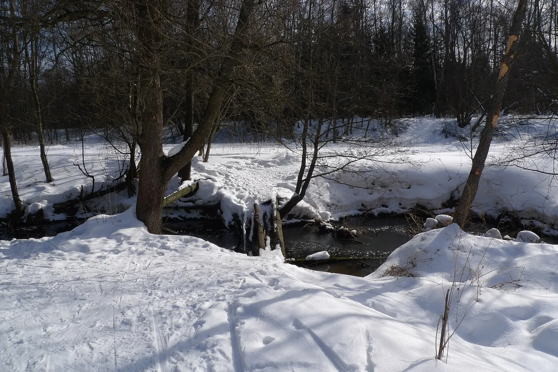
Winter Woods at Belokamennaya: Ski Route No. 2 Passages
✓ TrailTrack

Winter Woods at Belokamennaya: Ski Route No. 2 Passages

Moscow region · Skiing · One-day

The pergola and elk family give the entrance a clear national park identity. Rail access leaves more of the day for the woods and a relaxed return.

4.1 km 119 +37 m Easy
Master: Cross-Country Ski Route
✓ TrailTrack

Master: Cross-Country Ski Route

Moscow region · Skiing · One-day

This is a 7.63 km circular cross-country skiing route with a complete recorded line to follow from start to finish. Rolling terrain: 62 m of total ascent over 7.63 km. Surface: compacted ground. Estimated moving time is about 1.4 hours; add time for pauses and navigation.

7.6 km 119 +62 m Easy
Klimovsk on Skis: The Northern Skating Loop from the Forest Junction
✓ TrailTrack

Klimovsk on Skis: The Northern Skating Loop from the Forest Junction

Moscow region · Skiing · One-day

Try compact skating practice on the western side of Klimovsk’s woodland. Returning to the same junction helps structure an independent session: first learn the bends and assess snow, then decide whether another lap is worthwhile. The northern continuation makes this a distinct choice among neighbouring ski loops.

2.1 km 119 +29 m Easy
Fryazino: the red ski circuit with long southern bends
✓ TrailTrack

Fryazino: the red ski circuit with long southern bends

Moscow region · Skiing · One-day

Try the Fryazino version that adds long southern bends to the shared eastern turn. Selecting the right path and following the linked return are part of this skiing outing: one circuit shows another side of the local network without a separate finishing transfer.

3.2 km 119 +48 m Easy
Mikrorayon «Kommuna»: Cycling Route · F006
✓ TrailTrack

Mikrorayon «Kommuna»: Cycling Route · F006

Moscow region · Bicycle · One-day

The recorded line is a 3.24 km point-to-point cycling route, with shore or waterside sections are recorded on the route. Rolling terrain: 52 m of total ascent over 3.24 km. Surface: mud and grass plus asphalt. Estimated moving time is about 0.5 hours; add time for pauses and navigation.

3.2 km 119 +52 m Easy
Pashino via Tanaev Road to Lake Peschanoe in Timiryazevsky Woodland
✓ TrailTrack

Pashino via Tanaev Road to Lake Peschanoe in Timiryazevsky Woodland

Старт · Hiking · One-day

Follow the woodland arc from Pashino, discover Tanaev Road and pause beside Lake Peschanoe at the end. The outing connects a historic woodland-road name with a lakeside stopping place in Tomsk’s surroundings.

16.3 km 118 +41 m Moderate
Kun-Tag: Eastern Circuit and Western Hillside Return
✓ TrailTrack

Kun-Tag: Eastern Circuit and Western Hillside Return

Hiking · One-day

Walk different sides of the specific Kun-Tag mountain and see the upper Podkuninsky ridge. Southern access, the eastern passage and western return provide different outlooks during a distinct outing.

5.8 km 118 +396 m Easy
Labydya: walking ascent to the Lena Pillars viewpoint
✓ TrailTrack

Labydya: walking ascent to the Lena Pillars viewpoint

Hiking · One-day

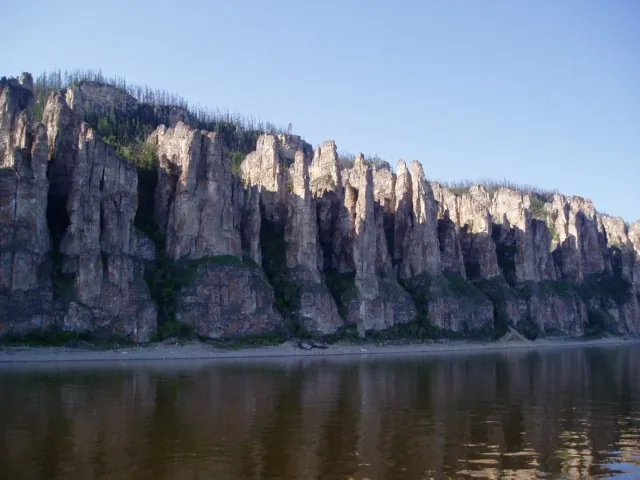
Reach a real Lena Pillars viewpoint and see the rock formations together with the Lena valley. The wooded approach and upper viewing location make the ascent a distinct part of a park journey.

1.3 km 118 +0 m Easy
Trail S Barom-Gola at Arkhat
✓ TrailTrack

Trail S Barom-Gola at Arkhat

Hiking · One-day

Expect mapped viewpoints occur along the way on this 1.27 km point-to-point walking route. Rolling terrain: 18 m of total ascent over 1.27 km. Estimated moving time is about 0.6 hours; add time for pauses and navigation.

1.3 km 118 +18 m Easy
From Mamay via Polyana: The Long Passage to Barun-Selenginka
✓ TrailTrack

From Mamay via Polyana: The Long Passage to Barun-Selenginka

Hiking · Multi-day

Travel from Bolshoy Mamay’s wooded valley towards Polyana and experience the change from Osinovka’s ridge side to distant Barun-Selenginka valley. This passage suits walkers wanting several mountain days who can organise completion in a remote river area.

79.1 km 118 +5265 m Hard
Blue Trail: Central Pillars
✓ TrailTrack

Blue Trail: Central Pillars

Hiking · One-day

Expect shore or waterside sections are recorded on the route on this 2.9 km point-to-point walking route. Noticeable climbing: 71 m of total ascent over 2.9 km. Surface: natural ground. Estimated moving time is about 1.1 hours; add time for pauses and navigation.

2.9 km 118 +71 m Easy
Karovoe to Svetloe via Artists: Four Outings with a Separate Hanging Stone Walk
✓ TrailTrack

Karovoe to Svetloe via Artists: Four Outings with a Separate Hanging Stone Walk

Hiking · Multi-day

Cross Artists-2 and Ptitsa, seeing Karovoe, Artists, Mountain Spirits and Svetloe in the first part’s actual order. Hanging Stone becomes a separate event after the mountain outing.

19.3 km 118 +855 m Hard
Snow Leopard on Spokoyny Stream: from the Vulkanny turn to the viewpoint path
✓ TrailTrack

Snow Leopard on Spokoyny Stream: from the Vulkanny turn to the viewpoint path

Hiking · One-day

View Snow Leopard Waterfall from its lookout side and follow the open mountain approach towards Spokoyny Stream. A pause opposite the falling water adds a distinctive stop to southern Kamchatka’s mountain scenery.

3.2 km 118 +35 m Moderate
The Mayachny drive: Three Brothers and coastal guns by the Pacific
✓ TrailTrack

The Mayachny drive: Three Brothers and coastal guns by the Pacific

Car · One-day

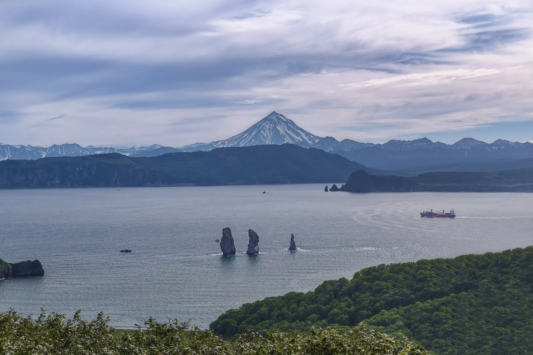
View Three Brothers Rocks from the coastal lookout and drive to Mayachny’s gun-emplacement side. The shoreline journey brings sheltered bay water and the open ocean into one outing.

11.2 km 118 +58 m Moderate
To Skalnikam Za Idolom
✓ TrailTrack

To Skalnikam Za Idolom

new1 · Hiking · One-day

This 11.29 km point-to-point walking route passes through terrain where shore or waterside sections are recorded on the route. Strong mountain relief: 600 m of total ascent over 11.29 km. Estimated moving time is about 4.3 hours; add time for pauses and navigation.

11.3 km 118 +600 m Hard
Khamar-Daban ski sections via Chersky, Bosan and Khan-Ula: the 2006 concept
✓ TrailTrack

Khamar-Daban ski sections via Chersky, Bosan and Khan-Ula: the 2006 concept

Khamar-Daban ski sections via Chersky · Skiing · Multi-day

After developing the full programme, explore different Khamar-Daban areas on skis, including separate excursions to Chersky, Bosan and Khan-Ula. The historical concept helps select destinations requiring independent modern preparation.

129.0 km 118 +7423 m Hard
Pirozhnaya Hill: the woodland ski circuit with western loops
✓ TrailTrack

Pirozhnaya Hill: the woodland ski circuit with western loops

Moscow region · Skiing · One-day

Choose woodland skating-ski movement with western loops and a northern return. Changing direction within one circuit helps move from a town day to skiing among trees. The eastern beginning remains the return place and a useful point for your own pause.

3.2 km 118 +35 m Easy
Strogino to Perkhushkovo via Shulgino: Woodland Waters and Burial-Mound Places
✓ TrailTrack

Strogino to Perkhushkovo via Shulgino: Woodland Waters and Burial-Mound Places

Moscow region · Run · One-day

Run from Strogino through Shulgino and Podushkino towards woodland waters and Perkhushkovo. This version combines First Shulgino Pond, two archaeological places and the Sominka–Betonka–Forest Lake–Pear Pond sequence, while Pionerskaya offers a separately checked earlier finishing option.

29.8 km 118 +573 m Hard
Back Page 30 of 79 Next