TrailTrack routes

Маршруты с подготовленным описанием, сложностью, покрытием и планированием визита.

Found 1895 routes
Choose a route from the list or view routes on the map.
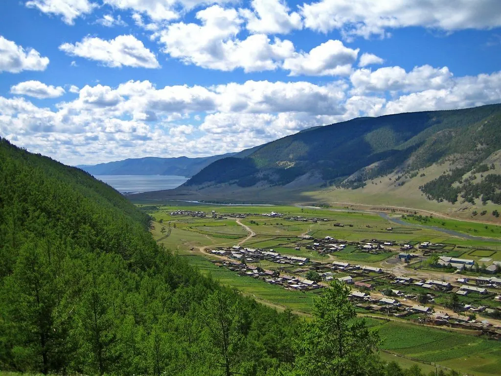
Trail Sinilga
✓ TrailTrack

Trail Sinilga

Hiking · One-day

This 1.67 km point-to-point walking route is shaped by its terrain, surface and pace rather than a single landmark. Rolling terrain: 27 m of total ascent over 1.67 km. Surface: natural ground. Estimated moving time is about 0.7 hours; add time for pauses and navigation.

1.7 km 111 +27 m Easy
Podkamennoy to Irkuta: Walking Route
✓ TrailTrack

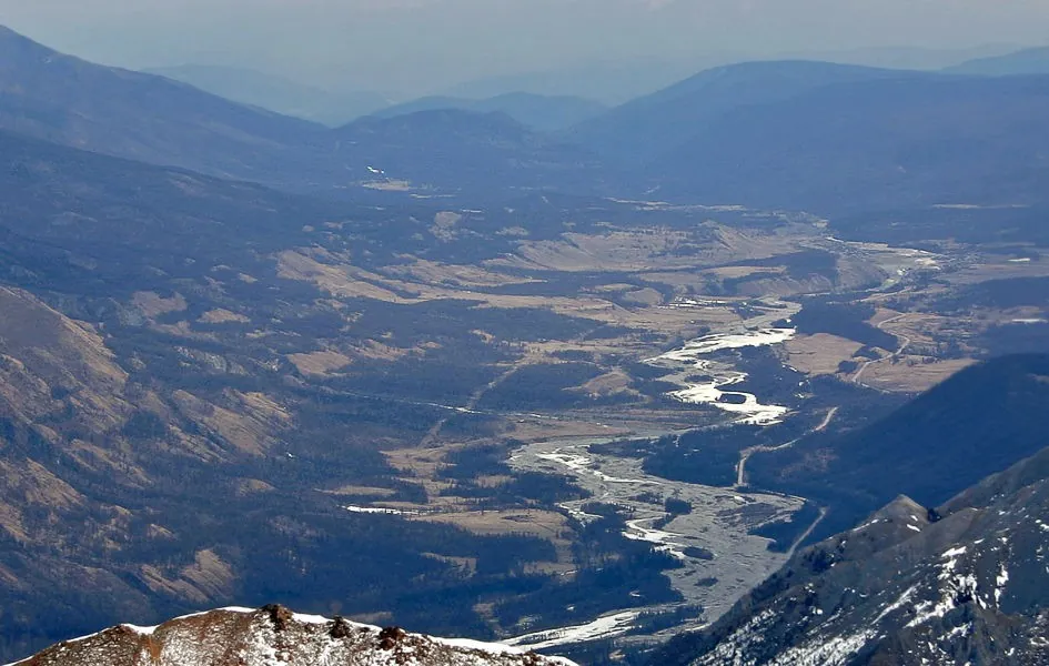
Podkamennoy to Irkuta: Walking Route

Hiking · Multi-day

Mapped viewpoints occur along the way along this 42.21 km point-to-point walking route. Noticeable climbing: 1453 m of total ascent over 42.21 km. Allow at least 3 days and verify overnight and exit options independently.

42.2 km 111 +1453 m Hard
Ikonnikov Island: Cycling between the Biya and Katun
✓ TrailTrack

Ikonnikov Island: Cycling between the Biya and Katun

Bicycle · One-day

Explore Ikonnikov Island and see the Biya and Katun from different sides of the cycling itinerary. The island gives this ride its own identity, with two riverbanks to compare.

15.6 km 111 +9 m Moderate
Rzhavki to Mendeleevo: the Short Forest Path beside Shkolnoye Lake
✓ TrailTrack

Rzhavki to Mendeleevo: the Short Forest Path beside Shkolnoye Lake

Moscow region · Hiking · One-day

Enjoy a short woodland departure from Rzhavki with a small forest lake close to the southern path. This is a pleasant outing when you have time for a gentle walk between other plans: water gives the first section its character, before the trees lead you towards Mendeleevo.

1.5 km 111 +12 m Easy
Opalikha to Nakhabino: a Woodland Run across Voronoy Brod and Lipka
✓ TrailTrack

Opalikha to Nakhabino: a Woodland Run across Voronoy Brod and Lipka

Moscow region · Run · One-day

Train in the woods between Opalikha and Nakhabino while passing two small stream valleys. Returning along the southern branch helps you learn the terrain, and finishing at another station gives the outing a sense of progression. Walk instead if you prefer to pause more often beside the streams.

11.6 km 111 +201 m Moderate
Podosinki to Shevlyagino: three rivers in the Nerskaya basin
✓ TrailTrack

Podosinki to Shevlyagino: three rivers in the Nerskaya basin

Moscow region · Run · One-day

Choose it for a long trail-running day in the Nerskaya basin and the gradual passage between distinct river valleys. The Nerskaya, Sechenka and Teterka provide real stopping places, while finishing in Shevlyagino avoids retracing the whole journey.

33.8 km 111 +603 m Hard
The Zhemchuzhny path: a Neman-side walk near Sinka
✓ TrailTrack

The Zhemchuzhny path: a Neman-side walk near Sinka

Hiking · One-day

The accessible section combines the Neman with woodland stops beside Zhemchuzhina. The area near Sinka recalls northern Grodno’s industrial past, but a break beside the quarry water should not be part of the plan. If work blocks the approach, finish the outing on the open riverside road.

4.1 km 110 +47 m Easy
Trans-Belarus: Southern Route: Southern route
✓ TrailTrack

Trans-Belarus: Southern Route: Southern route

КП1, Климовичи, 186км · Bicycle · Multi-day

The recorded line is a 1219.82 km point-to-point cycling route, with shore or waterside sections are recorded on the route. Gentle terrain: 197 m of total ascent over 1219.82 km. Surface: asphalt. Allow at least 16 days and verify overnight and exit options independently.

1219.8 km 110 +197 m Hard
Petrovichi: a Short Walk to the Village Oak
✓ TrailTrack

Petrovichi: a Short Walk to the Village Oak

Hiking · One-day

Meet the Petrovichi Oak beside the village street and explore the setting of the former estate through its surviving surroundings. Park remnants can be added as a separate agreed visit.

1.7 km 110 +9 m Easy
Left Kyngarga: Upper Cirque to the Meeting of the Headwaters
✓ TrailTrack

Left Kyngarga: Upper Cirque to the Meeting of the Headwaters

Hiking · One-day

Include a distinct stretch of upper Left Kyngarga in a carefully planned mountain outing. The mountain river valley is the destination here, without the need to add another summit to the itinerary.

1.5 km 110 +21 m Moderate
Road from Meadow Lesorubov at Zapad
✓ TrailTrack

Road from Meadow Lesorubov at Zapad

Hiking · One-day

The recorded line is a 5.38 km point-to-point walking route, with woodland is one of the route's main features. Strong mountain relief: 228 m of total ascent over 5.38 km. Estimated moving time is about 2.0 hours; add time for pauses and navigation.

5.4 km 110 +228 m Easy
Khutel to Olon-Nur: Peretolchin Volcano and Buda-Khanda Rocky Ridge
✓ TrailTrack

Khutel to Olon-Nur: Peretolchin Volcano and Buda-Khanda Rocky Ridge

Hiking · Multi-day

For three neighbouring Sayan landscapes: the Olon-Nur lakes, the lava terrain of the Valley of Volcanoes and open mountain ridges. Peretolchin offers a look at a volcanic crater from a permitted rim approach, while Buda-Khanda reveals Khara-Nur in suitable visibility. Returning by another mountain way provides changing valleys rather than repeating one path.

80.7 km 110 +5243 m Hard
Central Sayan: walking sections across the passes to Lower Kinzelyuk Lake
✓ TrailTrack

Central Sayan: walking sections across the passes to Lower Kinzelyuk Lake

Hiking · Multi-day

Cross real Central Sayan passes and reach Lower Kinzelyuk Lake’s bank. Valley approaches, named saddles and the upper journey’s lake destination make a substantial independent outing after checking every connection.

123.2 km 110 +3517 m Hard
Peschanaya Bay to Viewpoint Rock: Coastal Trail
✓ TrailTrack

Peschanaya Bay to Viewpoint Rock: Coastal Trail

Hiking · One-day

Expect shore or waterside sections are recorded on the route on this 1.29 km point-to-point walking route. Gentle terrain: 1 m of total ascent over 1.29 km. Estimated moving time is about 0.6 hours; add time for pauses and navigation.

1.3 km 110 +1 m Easy
Trudnyy: Orlyonok via Pad Krivuyu
✓ TrailTrack

Trudnyy: Orlyonok via Pad Krivuyu

Skiing · One-day

Treat this 38.37 km point-to-point cross-country skiing route as a complete outing, paying attention to the terrain and changing surface underfoot. Noticeable climbing: 894 m of total ascent over 38.37 km. Estimated moving time is about 7.9 hours; add time for pauses and navigation.

38.4 km 110 +894 m Hard
The Historic Morozki–Radonezh Ski Circle: Across the Yakhroma
✓ TrailTrack

The Historic Morozki–Radonezh Ski Circle: Across the Yakhroma

Moscow region · Skiing · One-day

The variant reveals how long club ski outings linked Morozki surroundings with the Yakhroma valley. The bridge near Khlyby is a specific stop on the former passage, available for consideration after the chosen section’s access has been checked.

56.9 km 110 +542 m Hard
Opalikha to Pionerskaya: Lohin Island and the Western Lazutinka Approach
✓ TrailTrack

Opalikha to Pionerskaya: Lohin Island and the Western Lazutinka Approach

Moscow region · Run · One-day

Connect Opalikha woodland, a short Lohin Island visit, western Podushkino Forest and the actual waters before Pionerskaya. Railway access at the departure and conclusion enables a substantial independent running day with changing places along the way.

32.0 km 110 +461 m Hard
Animal Crossing: Borushichi and Kislyaki Tracts
✓ TrailTrack

Animal Crossing: Borushichi and Kislyaki Tracts

Bicycle · One-day

Borushichi, Kislyaki and Animal Crossing offer three distinct stories: wetland restoration, a former settlement and the ways forest animals move. They are good reasons to pause at the signs rather than race around the circuit.

17.5 km 110 +81 m Moderate
Across the Moonlike Hills
✓ TrailTrack

Across the Moonlike Hills

магазин 1 · Hiking · Multi-day

This 111.31 km point-to-point walking route passes through terrain where woodland is one of the route's main features. Gentle terrain: 227 m of total ascent over 111.31 km. Surface: asphalt plus compacted ground. Allow at least 5 days and verify overnight and exit options independently.

111.3 km 109 +227 m Hard
Global Fat Bike Day Winter Circuit
✓ TrailTrack

Global Fat Bike Day Winter Circuit

Hiking · One-day

This is a 26.34 km circular walking route with a complete recorded line to follow from start to finish. Gentle terrain: 48 m of total ascent over 26.34 km. Surface: natural ground plus sand. Estimated moving time is about 7.8 hours; add time for pauses and navigation.

26.3 km 109 +48 m Hard
Eastern Sapotskin to Ostashanka: The Out-and-Back Walk
✓ TrailTrack

Eastern Sapotskin to Ostashanka: The Out-and-Back Walk

Hiking · One-day

Choose a straightforward out-and-back walk on Sapotskin’s eastern rural side. Ostashanka provides the sole confirmed named water stop, with the road offering quiet observation of the countryside without a separate museum programme.

12.9 km 109 +102 m Moderate
To Bronenostsu through Yuzhnomu Grebnyu
✓ TrailTrack

To Bronenostsu through Yuzhnomu Grebnyu

Hiking · One-day

Expect mapped viewpoints occur along the way on this 11.51 km point-to-point walking route. Strong mountain relief: 1889 m of total ascent over 11.51 km. Estimated moving time is about 6.5 hours; add time for pauses and navigation.

11.5 km 109 +1889 m Hard
From Nochyovki: D. Buguldeyka
✓ TrailTrack

From Nochyovki: D. Buguldeyka

Hiking · One-day

This is a 16.35 km point-to-point walking route with a complete recorded line to follow from start to finish. Rolling terrain: 218 m of total ascent over 16.35 km. Surface: improved surface. Estimated moving time is about 5.2 hours; add time for pauses and navigation.

16.4 km 109 +218 m Moderate
V. P. Sukachyov Estate Memorial Park: Nature and Heritage Trail
✓ TrailTrack

V. P. Sukachyov Estate Memorial Park: Nature and Heritage Trail

Hiking · One-day

This 0.36 km circular walking route passes through terrain where the route includes sites with cultural context. Rolling terrain: 3 m of total ascent over 0.36 km. Estimated moving time is about 0.3 hours; add time for pauses and navigation.

0.4 km 109 +3 m Easy
Back Page 34 of 79 Next