TrailTrack routes

Маршруты с подготовленным описанием, сложностью, покрытием и планированием визита.

Found 1895 routes
Choose a route from the list or view routes on the map.
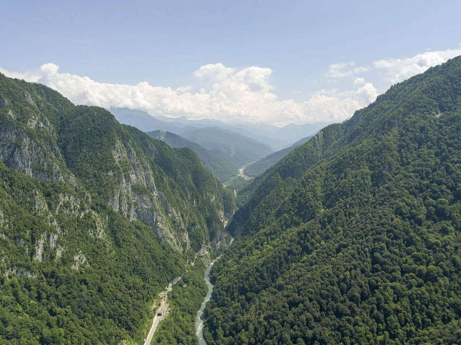
Big Grove Circuit: Beech Glade and Khosta River Canyon
✓ TrailTrack

Big Grove Circuit: Beech Glade and Khosta River Canyon

Hiking · One-day

The Stone Labyrinth, Beech Glade and Khosta River Canyon reveal different sides of the protected woodland. This internal version joins them without a compulsory fortress branch or extra canyon outing.

3.4 km 95 +0 m Moderate
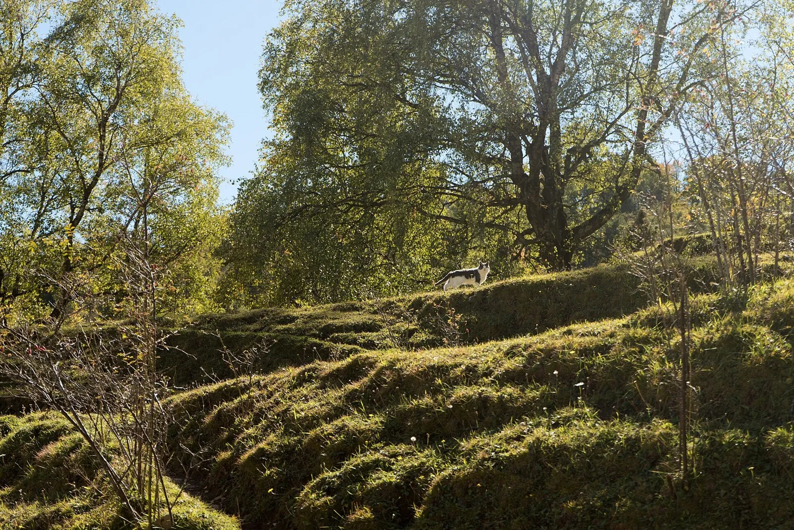
Kumukh towards Koroda: Salta Waterfall and Historic Gunib
✓ TrailTrack

Kumukh towards Koroda: Salta Waterfall and Historic Gunib

Caucasus · Hiking · Multi-day

Link Turchi, Salta Waterfall and Gunib’s historic places in a multiday journey. Aivazovsky Glade, the gate and Royal Tunnel give different sections their own reason to pause.

83.2 km 95 +0 m Hard
Devil’s Mill: the Direct Forest Approach from Dombai
✓ TrailTrack

Devil’s Mill: the Direct Forest Approach from Dombai

Hiking · One-day

When access is permitted, the short forest approach focuses attention on the unusual Amanauz constriction and water moving between its walls. This river landscape does not require continuing to the farther waterfalls.

2.1 km 95 +0 m Easy
Dzykhrinsky Waterfall: the Short Internal Descent
✓ TrailTrack

Dzykhrinsky Waterfall: the Short Internal Descent

Hiking · One-day

The short internal descent has one clear destination: Dzykhrinsky Waterfall among wooded rocky banks. Use it within a prepared walking day, with approach, crossing and return checked separately.

1.0 km 95 +0 m Moderate
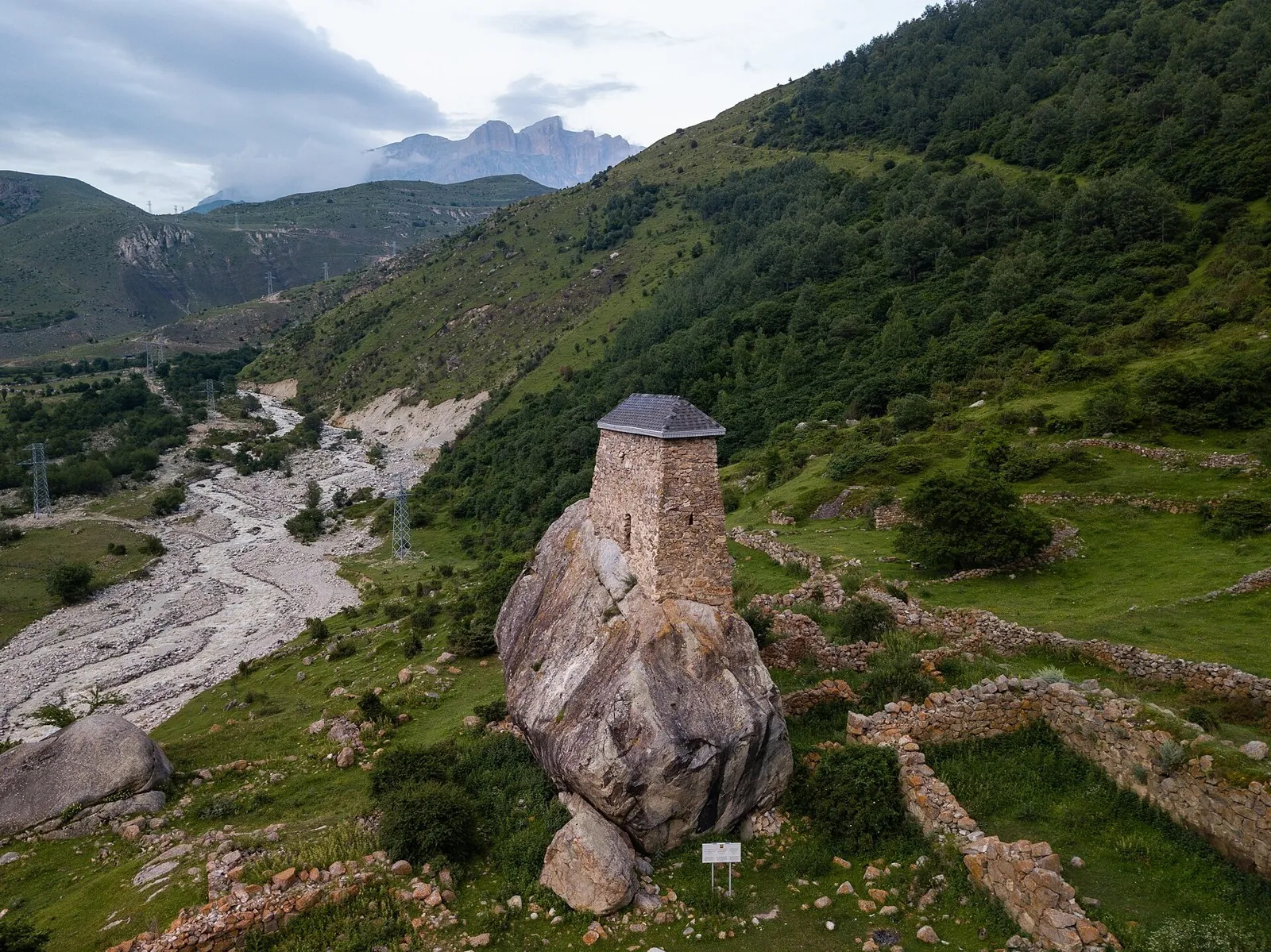
Kairak Waterfall towards Batan: A Path with a Closure Report
✓ TrailTrack

Kairak Waterfall towards Batan: A Path with a Closure Report

Hiking · One-day

After reopening is confirmed, see Kairak Waterfall and follow a specific river valley towards Batan. The geographic line explains the reverse direction, while the current closure report requires independent access confirmation.

7.9 km 95 +51 m Easy
Kaskabas and Volchiy — Descent to Prokhodnoye Gorge
✓ TrailTrack

Kaskabas and Volchiy — Descent to Prokhodnoye Gorge

Kaskabas and Volchiy · Hiking · One-day

Link Kaskabas summit with Kaskabas and Volchiy passes, then follow the stream valley towards Prokhodnoye Gorge. Reaching the summit is a separate part of the plan, requiring time and preparation.

8.7 km 95 +51 m Easy
Grand Almaty Traverse — via Tourists and Small Talgar Passes
✓ TrailTrack

Grand Almaty Traverse — via Tourists and Small Talgar Passes

Grand Almaty Traverse · Hiking · Multi-day

Connect Big Almaty Lake with Left Talgar across Tourists Pass, visit Krasnaya Meadow and the northern Small Talgar and Talgar passes. Agree the northern exit and complete programme before departure.

45.8 km 95 +2158 m Hard
Turquoise Route: via Klimovichi
✓ TrailTrack

Turquoise Route: via Klimovichi

КП0 ГОРКИ, АМФИТЕАТР · Bicycle · Multi-day

This is a 600.63 km point-to-point cycling route. Shore or waterside sections are recorded on the route. Gentle terrain: 135 m of total ascent over 600.63 km. Surface: asphalt. Allow at least 8 days and verify overnight and exit options independently.

600.6 km 95 +135 m Hard
Turquoise Route: grand journey
✓ TrailTrack

Turquoise Route: grand journey

КП0 Горки, Амфитеатр · Bicycle · Multi-day

Shore or waterside sections are recorded on the route along this 602.62 km point-to-point cycling route. Gentle terrain: 215 m of total ascent over 602.62 km. Surface: asphalt. Allow at least 8 days and verify overnight and exit options independently.

602.6 km 95 +215 m Hard
Dinamo Forest Cycling Circuit
✓ TrailTrack

Dinamo Forest Cycling Circuit

Bicycle · One-day

Woodland is one of the route's main features along this 4.2 km circular cycling route. Rolling terrain: 40 m of total ascent over 4.2 km. Estimated moving time is about 0.6 hours; add time for pauses and navigation.

4.2 km 95 +40 m Easy
To Mount Lysaya
✓ TrailTrack

To Mount Lysaya

родник · Hiking · Multi-day

Mapped stops at Spring add clear points of interest along the way. Forest sections: woodland is one of the route's main features. Gentle terrain: 85 m of total ascent over 90.42 km. Surface: asphalt plus improved surface.

90.4 km 95 +85 m Hard
To the Source
✓ TrailTrack

To the Source

ptich1 · Hiking · Multi-day

This 81.27 km point-to-point walking route passes through terrain where the route includes sites with cultural context. Gentle terrain: 135 m of total ascent over 81.27 km. Surface: asphalt. Allow at least 4 days and verify overnight and exit options independently.

81.3 km 95 +135 m Hard
Minsk Grand Green Maze
✓ TrailTrack

Minsk Grand Green Maze

Bicycle · One-day

This is a 39.93 km circular cycling route with a complete recorded line to follow from start to finish. Gentle terrain: 150 m of total ascent over 39.93 km. Surface: natural ground. Estimated moving time is about 3.8 hours; add time for pauses and navigation.

39.9 km 95 +150 m Hard
Nemnovo to Kalety: The Dombrovka and Marycha Branches
✓ TrailTrack

Nemnovo to Kalety: The Dombrovka and Marycha Branches

Bicycle · One-day

Compare the Augustów Canal’s rural Dombrovka side with the woodland Marycha approach. Choose one branch with established access and enjoy its water landmarks, while arranging independent onward travel from the Kalety district.

43.1 km 95 +72 m Hard
Vottovaara through crossing: southern Guardian Stone to the northern Pyramid lookout
✓ TrailTrack

Vottovaara through crossing: southern Guardian Stone to the northern Pyramid lookout

Hiking · One-day

Cross the mountain from south to north, bringing together central rocks, eastern stone formations and distant taiga views in one direction. It suits a programme with a prepared approach and separate meeting after the crossing.

7.1 km 94 +0 m Moderate
Rigola Grand Ultra: Honkasalo, Western Passages and the Far Northern Circuit
✓ TrailTrack

Rigola Grand Ultra: Honkasalo, Western Passages and the Far Northern Circuit

Rigola Grand Ultra: Honkasalo · Run · One-day

Combine the actual Riuttavuori, Vahtimyaki and Sortavala views with a far northern woodland continuation. This grand sporting version explores several island directions and requires independent preparation for the complete return.

79.7 km 94 +0 m Hard
The Khadzhokh circuit through Una-Koz: caves, Rufabgo and both Belaya banks
✓ TrailTrack

The Khadzhokh circuit through Una-Koz: caves, Rufabgo and both Belaya banks

The Khadzhokh circuit through Una-Koz: caves · Hiking · Multi-day

Una-Koz, Mishoko, Rufabgo and Khadzhokh Gorge form one connected walking story. It especially suits visitors interested in limestone caves, fallen rock forms and contrasting waterfall cascades, returning to the village from the opposite bank.

29.4 km 94 +1406 m Hard
Chigordali and Kizgych: The Woodland Return towards Arkhyz
✓ TrailTrack

Chigordali and Kizgych: The Woodland Return towards Arkhyz

Hiking · One-day

The geographical interest lies in moving from a side-stream waterfall into the larger wooded valley and towards Arkhyz. It combines a natural destination with a specific memorial beside Kizgych. For now, explore the area on officially open trails and use this return-direction description to understand the landscape rather than to plan a prohibited visit.

7.3 km 94 +0 m Easy
Deep Ravine: the Internal Footbridge Approach
✓ TrailTrack

Deep Ravine: the Internal Footbridge Approach

Hiking · One-day

The woodland side and stream crossing show the lower Deep Ravine approach’s character. Natural-object visiting is presently prohibited; consider a future outing only after official reopening and a permitted-path check.

0.7 km 94 +0 m Easy
Kardyvach lakes: upper Mzymta valley and the Pslukh approach
✓ TrailTrack

Kardyvach lakes: upper Mzymta valley and the Pslukh approach

Hiking · Multi-day

This journey reveals the changes in one mountain valley between distinct lakes. Main Kardyvach feels like the quiet centre of the outing, while Upper Kardyvach opens a rocky world above the woodland. It suits visitors who want to stay at an authorised mountain camp and explore the Caucasus gradually, with a separate upper-lake excursion and a planned return.

21.7 km 94 +0 m Moderate
Tsar’s Trail from Ishkanty above Ishkyrty Valley
✓ TrailTrack

Tsar’s Trail from Ishkanty above Ishkyrty Valley

Hiking · One-day

Ishkanty gives the walk a specific historical starting point. From its ruins, continue towards Ishkyrty valley’s open slopes to explore the southern side of Verkhnyaya Balkariya without committing to a long mountain crossing.

5.3 km 94 +0 m Easy
Kazbek from the north: Genaldon hot springs to Bivouac 3700
✓ TrailTrack

Kazbek from the north: Genaldon hot springs to Bivouac 3700

Caucasus · Hiking · One-day

Explore Kazbek’s northern approach between the Genaldon hot springs and upper bivouacs. Mayli Glacier and the memorial cross give the stage its character, alongside the need for preparation and a plan agreed with your leader.

5.2 km 94 +1452 m Hard
Visiting the Wooden «Ethiopians»
✓ TrailTrack

Visiting the Wooden «Ethiopians»

Hiking · Multi-day

Woodland is one of the route's main features along this 92.75 km circular walking route. Gentle terrain: 698 m of total ascent over 92.75 km. Surface: asphalt plus natural ground. Allow at least 5 days and verify overnight and exit options independently.

92.8 km 94 +698 m Hard
Opening Ride of the Season
✓ TrailTrack

Opening Ride of the Season

Hiking · Multi-day

Woodland is one of the route's main features along this 59.28 km point-to-point walking route. Gentle terrain: 174 m of total ascent over 59.28 km. Surface: asphalt. Allow at least 3 days and verify overnight and exit options independently.

59.3 km 94 +174 m Hard
Back Page 43 of 79 Next