TrailTrack routes

Маршруты с подготовленным описанием, сложностью, покрытием и планированием визита.

Found 82 routes
Choose a route from the list or view routes on the map.
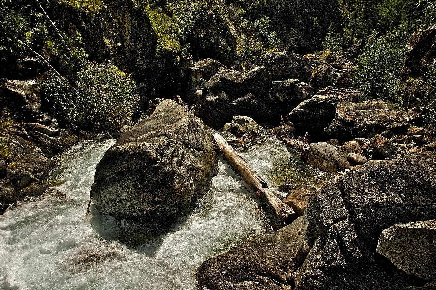
Trail River at Khuruma
✓ TrailTrack

Trail River at Khuruma

Hiking · One-day

Expect shore or waterside sections are recorded on the route on this 2.89 km point-to-point walking route. Rolling terrain: 26 m of total ascent over 2.89 km. Estimated moving time is about 1.0 hours; add time for pauses and navigation.

2.9 km 130 +26 m Easy
Egyptian and Trudny to the Belokopytka Lakes: a Ridge Return along Kyngarga
✓ TrailTrack

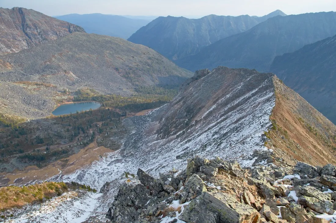
Egyptian and Trudny to the Belokopytka Lakes: a Ridge Return along Kyngarga

Hiking · Multi-day

For lakes reached across two different pass sides. Fedyushkina’s source lake follows Egyptian Pass, while upper Belokopytka presents another mountain water landscape beyond Trudny. The ridge section reveals the lake area from above before exchanging it for Kyngarga woodland. This is a varied mountain outing for a group prepared to establish its difficult connections independently.

22.8 km 129 +1311 m Hard
Khuray-Khobok to Silver Lake via the upper gully
✓ TrailTrack

Khuray-Khobok to Silver Lake via the upper gully

Hiking · One-day

Climb from Khuray-Khobok’s woodland edge to a real mountain lake and pause on its shore. The lower forest and rocky upper setting provide a distinct landscape change.

11.6 km 128 +1496 m Hard
From Pass Solnechnogo to Tsentra Arshana through Doline Bugataya
✓ TrailTrack

From Pass Solnechnogo to Tsentra Arshana through Doline Bugataya

Hiking · One-day

This 16.07 km point-to-point walking route passes through terrain where mapped viewpoints occur along the way. Noticeable climbing: 497 m of total ascent over 16.07 km. Estimated moving time is about 5.5 hours; add time for pauses and navigation.

16.1 km 127 +497 m Hard
Gate Tract to Glubokaya: Return Route
✓ TrailTrack

Gate Tract to Glubokaya: Return Route

Hiking · One-day

Mapped viewpoints occur along the way along this 8.94 km point-to-point walking route. Noticeable climbing: 346 m of total ascent over 8.94 km. Estimated moving time is about 3.2 hours; add time for pauses and navigation.

8.9 km 127 +346 m Moderate
Tunki - 2014
✓ TrailTrack

Tunki - 2014

Tunki · Hiking · Multi-day

This 140.48 km point-to-point walking route passes through terrain where mapped viewpoints occur along the way. Strong mountain relief: 9036 m of total ascent over 140.48 km. Allow at least 9 days and verify overnight and exit options independently.

140.5 km 126 +9036 m Hard
From Sagan-Sair-Daban towards Samarta: an Arlyk-Gol Pass Variant
✓ TrailTrack

From Sagan-Sair-Daban towards Samarta: an Arlyk-Gol Pass Variant

Hiking · One-day

To discover neighbouring valleys of the Kitoy Mountains and their mountain connection. Sagan-Sair-Daban, Arlyk-Gol and Samarta form three distinct landmarks: an open beginning, riverside middle and another valley-side finish. The variant suits a group willing to prepare real approaches and passage first, then observe the mountains at its own measured pace.

15.0 km 126 +701 m Hard
Road to Chertolen-Gorkhon: Mountain Route
✓ TrailTrack

Road to Chertolen-Gorkhon: Mountain Route

Hiking · One-day

The recorded line is a 7.62 km point-to-point walking route, with mapped viewpoints occur along the way. Strong mountain relief: 918 m of total ascent over 7.62 km. Estimated moving time is about 3.8 hours; add time for pauses and navigation.

7.6 km 126 +918 m Hard
Goloustnoye towards Listvyanka by the Lower Shore: Kadilnaya, Skriper and the Syty Turn
✓ TrailTrack

Goloustnoye towards Listvyanka by the Lower Shore: Kadilnaya, Skriper and the Syty Turn

Goloustnoye towards Listvyanka by the Lower Shor · Hiking · Multi-day

For the combination of Malaya Kadilnaya’s narrow valley, the cliff-side passage at Chayachy, Skriper’s viewing point and quieter valleys near Bolshiye Koty. The route offers Baikal both beside stony shoreline and from above. These sights remain worthwhile on a separately permitted stage if the present rocky ending towards Listvyanka cannot be completed.

44.8 km 126 +942 m Hard
The Baikal Around-the-World Traverse to Chekanovsky, Mangutay and Orekhovaya Pad
✓ TrailTrack

The Baikal Around-the-World Traverse to Chekanovsky, Mangutay and Orekhovaya Pad

The Baikal Around-the-World Traverse to Chekanov · Hiking · Multi-day

Connect several actual summits and a pass in one ridge journey, finishing through a river valley. Mountain views change with the ridge’s direction and the descent towards Baikal.

44.5 km 125 +2391 m Hard
Slyudyanka via Chersky Peak and Heart Lake to the Second Bare Summit
✓ TrailTrack

Slyudyanka via Chersky Peak and Heart Lake to the Second Bare Summit

Слюдянка · Hiking · Multi-day

Combine Chersky’s upper ridge with an actual visit to Heart Lake’s shore. Travelling between the open mountain and enclosed lake basin provides two distinct natural experiences.

25.9 km 124 +1860 m Hard
At Arshan through Yuzhnomu Grebnyu
✓ TrailTrack

At Arshan through Yuzhnomu Grebnyu

Hiking · One-day

This 7.82 km point-to-point walking route passes through terrain where mapped viewpoints occur along the way. Strong mountain relief: 1753 m of total ascent over 7.82 km. Estimated moving time is about 5.2 hours; add time for pauses and navigation.

7.8 km 123 +1753 m Hard
Shumak Springs and the Pass Crossing to the Southern Road
✓ TrailTrack

Shumak Springs and the Pass Crossing to the Southern Road

Hiking · Multi-day

See the Left Shumak valley change from terraces by the springs through wooded river country to the waterfall side and open pass landscape. The Ekhe-Ger descent reveals another side of the Tunkinsky mountains. A separately planned local walk leaves time for the spring area without forcing it into a demanding crossing day.

40.8 km 123 +1527 m Hard
Ozyornaya from two sides: road approaches and the Kutkhiny Baty outlook
✓ TrailTrack

Ozyornaya from two sides: road approaches and the Kutkhiny Baty outlook

Travel · Multi-day

See Kutkhiny Baty from a checked viewpoint, explore the Ozyornaya river valley and encounter the scientific side of its spawning ecosystem. Separate road arrangements let you choose how to reach the most interesting walking section.

40.9 km 123 +107 m Hard
Obzornaya above Kyngarga: Ridge Ascent and Mountain Cirque Return
✓ TrailTrack

Obzornaya above Kyngarga: Ridge Ascent and Mountain Cirque Return

Hiking · One-day

For a mountain first seen from below that reveals a different perspective on the river valley. Obzornaya’s ascent and cirque return change woodland into an open ridge and mountain hollow. The reward is observing mountain and valley shapes in suitable weather while reserving strength for the return.

10.4 km 122 +1254 m Hard
Sukhoy Stream: Shumak
✓ TrailTrack

Sukhoy Stream: Shumak

Hiking · Multi-day

This 42.48 km point-to-point walking route passes through terrain where mapped viewpoints occur along the way. Strong mountain relief: 1869 m of total ascent over 42.48 km. Allow at least 3 days and verify overnight and exit options independently.

42.5 km 122 +1869 m Hard
Olkhon’s Western Side to Uzury: Peschanaya and the Haga-Yaman Shore
✓ TrailTrack

Olkhon’s Western Side to Uzury: Peschanaya and the Haga-Yaman Shore

Hiking · Multi-day

To cross from Olkhon’s western side to open Baikal near Uzury and compare their character. Peschanaya and Nyurganskaya Bay offer sandy shore and changing woodland; on the eastern side, the bay between rocky slopes provides the destination. This is an independent island crossing for walkers arranging their own overnight places and return.

43.2 km 122 +1006 m Hard
Osinovka Mountain Directions: Above Vysokogornoye towards Charuyushchy
✓ TrailTrack

Osinovka Mountain Directions: Above Vysokogornoye towards Charuyushchy

Hiking · Multi-day

View Vysokogornoye from above and follow Serebryanka towards Charuyushchy, a waterfall completing a long change of mountain and woodland scenery. The Osinovka branch introduces another side of the same massif when selected as a separate outing.

46.0 km 122 +2330 m Hard
Ridges from Mamay to Vydrino: Polyana, Obruchev and Grokhotun
✓ TrailTrack

Ridges from Mamay to Vydrino: Polyana, Obruchev and Grokhotun

Ridges from Mamay to Vydrino: Polyana · Hiking · Multi-day

Combine Polyana, Obruchev’s summit and Grokhotun in one prepared expedition. Above, the route opens different mountain sides of Khamar-Daban; return changes to river-side taiga. Its variety becomes especially clear beyond Baikal Pass as ridges give way to Gramotukha.

76.4 km 121 +5217 m Hard
Arshan to Shumak: Arshanskiy Pass and the Kitoy Valley
✓ TrailTrack

Arshan to Shumak: Arshanskiy Pass and the Kitoy Valley

Hiking · Multi-day

Reach Shumak through successive mountain valleys and see how the Kyngarga, Fedyushkina River and Kitoy shape the journey. This approach suits walkers who value travelling through the mountains as much as time spent at their destination.

64.6 km 121 +1245 m Hard
Trail S Barom-Gola at Arkhat
✓ TrailTrack

Trail S Barom-Gola at Arkhat

Hiking · One-day

Expect mapped viewpoints occur along the way on this 1.27 km point-to-point walking route. Rolling terrain: 18 m of total ascent over 1.27 km. Estimated moving time is about 0.6 hours; add time for pauses and navigation.

1.3 km 117 +18 m Easy
Gorge Bunchikhi (Belopesotskiy: Zhilevo)
✓ TrailTrack

Gorge Bunchikhi (Belopesotskiy: Zhilevo)

Moscow region · Hiking · Multi-day

The recorded line is a 30.8 km point-to-point walking route, with mapped viewpoints occur along the way. Rolling terrain: 320 m of total ascent over 30.8 km. Allow at least 2 days and verify overnight and exit options independently.

30.8 km 117 +320 m Hard
Peak of Love from Arshan: Main Park Approach
✓ TrailTrack

Peak of Love from Arshan: Main Park Approach

Hiking · One-day

Combine Arshan’s park landmarks with a sustained mountain ascent. The old larch, a viewpoint on the path and Peak of Love provide distinct places to pause as the village falls away below.

4.0 km 116 +1083 m Moderate
Slyudyanka valley via Bosan to Tibelti’s southern approach
✓ TrailTrack

Slyudyanka valley via Bosan to Tibelti’s southern approach

Hiking · Multi-day

Travel from the Slyudyanka valley across a named pass to Bosan, then change sides of the mountain massif. It is a sustained journey with a summit destination and an independent northwestern exit.

97.6 km 116 +0 m Hard
Back Page 2 of 4 Next