TrailTrack routes

Маршруты с подготовленным описанием, сложностью, покрытием и планированием визита.

Found 1895 routes
Choose a route from the list or view routes on the map.
To the Lakes of Osveya: Northern route
✓ TrailTrack

To the Lakes of Osveya: Northern route

КП 0 Коптево · Bicycle · Multi-day

Mapped stops at park, Spring add clear points of interest along the way. Near the water: shore or waterside sections are recorded on the route. Gentle terrain: 72 m of total ascent over 203.45 km. Surface: asphalt plus compacted ground.

203.5 km 97 +72 m Hard
Polesie Rivers and Old Churches: Cycling from Bereza through Turov towards Rabkor
✓ TrailTrack

Polesie Rivers and Old Churches: Cycling from Bereza through Turov towards Rabkor

3 км дороги из трилинки · Bicycle · Multi-day

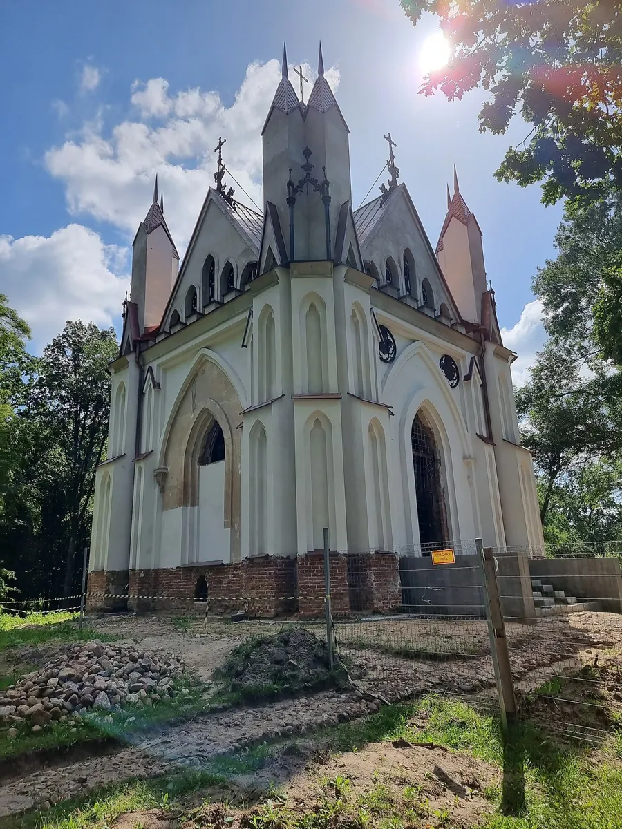
Build a Polesie journey around the Yaselda, Pina and church stops in Turov and Petrikov. Butrimovich Palace provides a city episode in Pinsk, while continuing towards Rabkor takes the exploration beyond a single town centre.

632.3 km 97 +32 m Hard
Drogichin to Antopol: a Cycling Road past the Presentation and Resurrection Churches
✓ TrailTrack

Drogichin to Antopol: a Cycling Road past the Presentation and Resurrection Churches

Bicycle · One-day

Visit Drogichin’s Presentation Church and Saint Euphrosyne Church, then continue the encounter with Polesie towns at Resurrection Church in Antopol. The Lyakhovichsky Canal supplies a water episode along this local cycling road.

54.2 km 97 +11 m Hard
Slava Zavyalov, Yura Galachyants, Yulya Glukhareva, Volodya Makarenkov,…: Walking Route
✓ TrailTrack

Slava Zavyalov, Yura Galachyants, Yulya Glukhareva, Volodya Makarenkov,…: Walking Route

Slava Zavyalov · Hiking · Multi-day

Mapped viewpoints occur along the way along this 161.11 km point-to-point walking route. Strong mountain relief: 15100 m of total ascent over 161.11 km. Allow at least 11 days and verify overnight and exit options independently.

161.1 km 97 +15100 m Hard
✓ TrailTrack

Parkran: MOGES

Moscow region · Hiking · One-day

The interest of this 2.45 km circular walking route lies in travelling the distance itself: its gradients, surface and rhythm. Gentle terrain: 14 m of total ascent over 2.45 km. Surface: asphalt plus paving stones. Estimated moving time is about 0.9 hours; add time for pauses and navigation.

2.5 km 97 +14 m Easy
Fryazino: the green ski circuit with western bends
✓ TrailTrack

Fryazino: the green ski circuit with western bends

Moscow region · Skiing · One-day

Combine western inner bends and a long eastern turn without changing the return place. The central entry lets you begin with the additional section before joining the shared northern sweep. This is its own skiing pattern among neighbouring Fryazino loops.

2.1 km 97 +33 m Easy
Nekrasovskaya to Radonezh: a winter turn from Pestovskoye to the upper Yakhroma
✓ TrailTrack

Nekrasovskaya to Radonezh: a winter turn from Pestovskoye to the upper Yakhroma

Moscow region · Skiing · Multi-day

Connect the Savyolovsky and Yaroslavsky sides through two distinct water locations — Pestovskoye Reservoir and the upper Yakhroma. The northward turn before the eastern continuation makes this ski journey an individual version within the Pestovskoye group.

58.7 km 97 +881 m Hard
Voskresenskoe: Cycling Route · F005
✓ TrailTrack

Voskresenskoe: Cycling Route · F005

Moscow region · Bicycle · One-day

Treat this 4.97 km point-to-point cycling route as a complete outing, paying attention to the terrain and changing surface underfoot. Rolling terrain: 40 m of total ascent over 4.97 km. Estimated moving time is about 0.6 hours; add time for pauses and navigation.

5.0 km 97 +40 m Easy
Pagan Grove: Short Walk to the Sacrificial Stone
✓ TrailTrack

Pagan Grove: Short Walk to the Sacrificial Stone

Hiking · One-day

Visit Pagan Grove’s Sacrificial Stone and connect a woodland outing with local stories. A short version centred on one confirmed named place.

0.8 km 97 +6 m Moderate
Hebda to Koroda: Zgurtlyar and the Goor Mountain Side
✓ TrailTrack

Hebda to Koroda: Zgurtlyar and the Goor Mountain Side

Caucasus · Hiking · Multi-day

Walk from Hebda towards Koroda with a crossing beside the Zgurtlyar, adding Goor’s historic places separately if desired. This sequence leaves time for the principal journey and a considered visit to neighbouring towers.

49.9 km 96 +0 m Hard
Terskol Valley to the Waterfall over Basalt Columns
✓ TrailTrack

Terskol Valley to the Waterfall over Basalt Columns

Hiking · One-day

Terskol’s cascade places volcanic rock beside glacier-fed water. The valley approach provides time to become familiar with the mountain setting before the particular waterfall stop, and returning does not require another pass.

4.6 km 96 +0 m Easy
The Dukka Trio: Rybka, Arkasarskoye and Caucasus Tale via the Pass
✓ TrailTrack

The Dukka Trio: Rybka, Arkasarskoye and Caucasus Tale via the Pass

The Dukka Trio: Rybka · Hiking · One-day

Choose this version to see the whole named trio instead of stopping at Rybka. Caucasus Tale Pass connects two different lake basins and gives the upper part a mountain-crossing character. It suits walkers who want a day in the Malaya Dukka headwaters and have energy for the rocky crossing and the subsequent return.

11.1 km 96 +0 m Moderate
Krasivy Pass to Mendelikha: the southern Krokus and Yavor descent
✓ TrailTrack

Krasivy Pass to Mendelikha: the southern Krokus and Yavor descent

Hiking · One-day

This link brings together two sides of Rosa Khutor: an open mountain pass and Mendelikha’s wooded slopes. It suits walkers who want to experience the southern hillside and its gradual changes. At the end, decide whether to add a waterfall visit or simply return uphill by the operating lift.

6.0 km 96 +0 m Easy
End-of-Season Ride to the Springs: via Baran
✓ TrailTrack

End-of-Season Ride to the Springs: via Baran

КП1. Помнік Ахвярам Гэбісцкага Скоцтва 30-х гг. · Bicycle · Multi-day

This is a 401.21 km point-to-point cycling route. Shore or waterside sections are recorded on the route. Gentle terrain: 70 m of total ascent over 401.21 km. Surface: asphalt. Allow at least 6 days and verify overnight and exit options independently.

401.2 km 96 +70 m Hard
Grodno Chalk Hills: the Neman, Sinka and old fortifications
✓ TrailTrack

Grodno Chalk Hills: the Neman, Sinka and old fortifications

Grodno Chalk Hills: the Neman · Bicycle · One-day

The Neman, Sinka and old defensive structures give the ride distinct points of interest. The Zub viewpoint helps explain the district’s Chalk Hills name. Enjoy it through a quiet visit from safe, permitted places; quarry water is not an invitation to swim.

24.6 km 96 +73 m Moderate
Sobolinoye Reconnaissance: Grokhotun, Skazka and Return to Baikal
✓ TrailTrack

Sobolinoye Reconnaissance: Grokhotun, Skazka and Return to Baikal

Sobolinoye Reconnaissance: Grokhotun · Hiking · Multi-day

Experience distinct water landscapes in one area: Bolshoye Sobolinoye’s wooded basin, Grokhotun on Gramotukha, Skazka on Krasnaya and Baikal’s coast after returning. Include them in an independently checked programme, leaving demanding reconnaissance slopes to a prepared group.

41.9 km 96 +1552 m Hard
per. Shumakskiy: Cross-Country Ski Route
✓ TrailTrack

per. Shumakskiy: Cross-Country Ski Route

Skiing · Multi-day

This is a 129.03 km point-to-point cross-country skiing route with a complete recorded line to follow from start to finish. Noticeable climbing: 4368 m of total ascent over 129.03 km. Allow at least 5 days and verify overnight and exit options independently.

129.0 km 96 +4368 m Hard
Podosinki to Zolotovo: a long running day beside the Nerskaya
✓ TrailTrack

Podosinki to Zolotovo: a long running day beside the Nerskaya

Moscow region · Run · One-day

Choose a substantial independent running journey between two railway platforms. Nerskoye Lake, the Guslitsa and the Nerskaya’s new channel give it a particular river theme, while Zolotovo provides a different railway branch for the journey home.

45.3 km 96 +660 m Hard
Khrushchevo Spring Hollows: A Woodland Run towards Kozhino
✓ TrailTrack

Khrushchevo Spring Hollows: A Woodland Run towards Kozhino

Moscow region · Run · One-day

Discover the quiet spring country outside Tuchkovo. The outing becomes a small exploration of woodland sources: one lies above the hollow, while another is closer to Khrushchevo. It suits people who enjoy noticing small landscape details and alternating a run with short waterside pauses.

5.8 km 96 +86 m Moderate
Monastery forest crossing from Varishpelda across the Gauzha towards Novguda
✓ TrailTrack

Monastery forest crossing from Varishpelda across the Gauzha towards Novguda

Hiking · One-day

Walk a woodland section of an old northern transport corridor and experience Vodlozero’s taiga between lake shore and river crossing. Its history of trade and pilgrimage adds meaning to the remote walk, while the forest conditions preserve a proper hiking experience.

16.6 km 95 +0 m Moderate
Pellotsaari in Three Passages: Eastern View, Island Boards and an Old Quarry
✓ TrailTrack

Pellotsaari in Three Passages: Eastern View, Island Boards and an Old Quarry

Pellotsaari in Three Passages: Eastern View · Hiking · One-day

Explore Pellotsaari through actual island boards, an eastern viewing place and old quarry workings. Natural interpretation meets the island’s working past, with each board offering a distinct reason to pause.

3.7 km 95 +0 m Moderate
Mountain-Biking Route in the Caucasus — 2,2 km
✓ TrailTrack

Mountain-Biking Route in the Caucasus — 2,2 km

Mountain-Biking Route in the Caucasus · Hiking · One-day

Plan this 2.24 km point-to-point cycling route from its verified distance, gradients and recorded surface rather than unconfirmed landmarks. Estimated moving time is about 0.5 hours; add time for pauses and navigation.

2.2 km 95 +0 m Easy
Big Tkhach from Novoprokhladnoye: Taywan, Shestakov Meadow and the pass circuit
✓ TrailTrack

Big Tkhach from Novoprokhladnoye: Taywan, Shestakov Meadow and the pass circuit

Big Tkhach from Novoprokhladnoye: Taywan · Hiking · Multi-day

Taywan, Shestakov Meadow and two passes beside Big Tkhach come together in one hike. The changing perspectives are its attraction: a wooded approach, the southern side and the high ridge each reveal the limestone massif differently.

55.3 km 95 +0 m Hard
Big Grove Circuit: Beech Glade and Khosta River Canyon
✓ TrailTrack

Big Grove Circuit: Beech Glade and Khosta River Canyon

Hiking · One-day

The Stone Labyrinth, Beech Glade and Khosta River Canyon reveal different sides of the protected woodland. This internal version joins them without a compulsory fortress branch or extra canyon outing.

3.4 km 95 +0 m Moderate
Back Page 42 of 79 Next