TrailTrack routes

Маршруты с подготовленным описанием, сложностью, покрытием и планированием визита.

Found 1895 routes
Choose a route from the list or view routes on the map.
Terrenkur 2 B: Thuja Alley and the Long Circuit from the Lower Park
✓ TrailTrack

Terrenkur 2 B: Thuja Alley and the Long Circuit from the Lower Park

Caucasus · Hiking · One-day

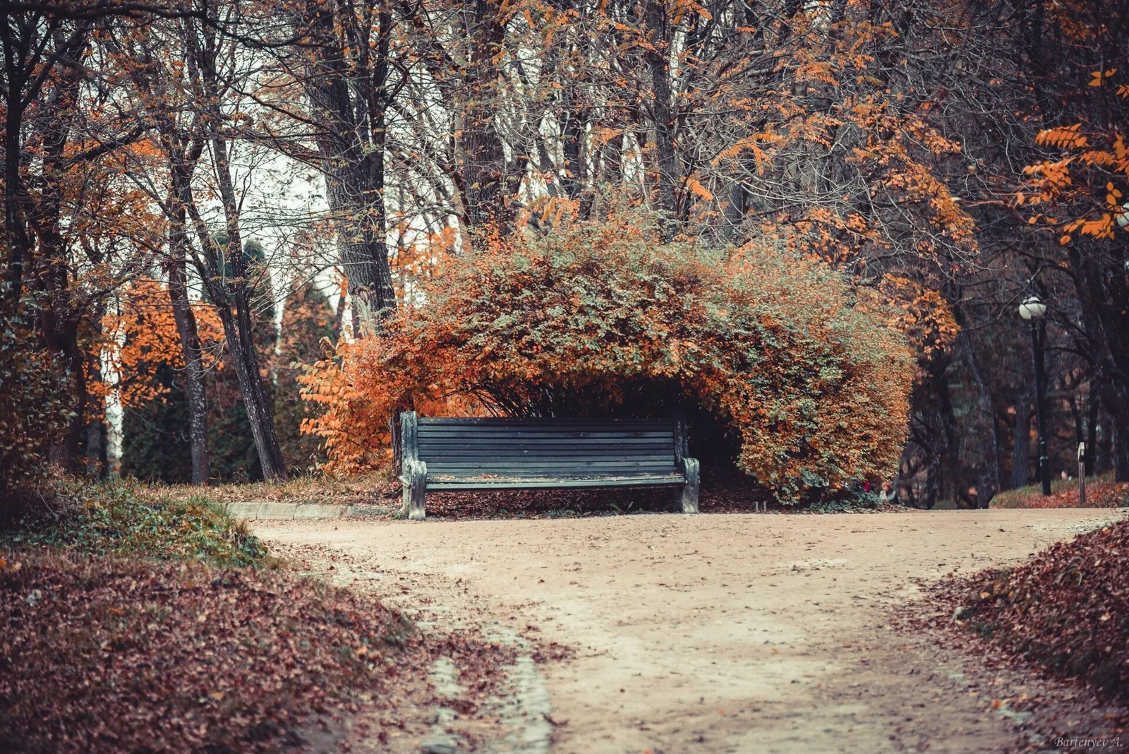
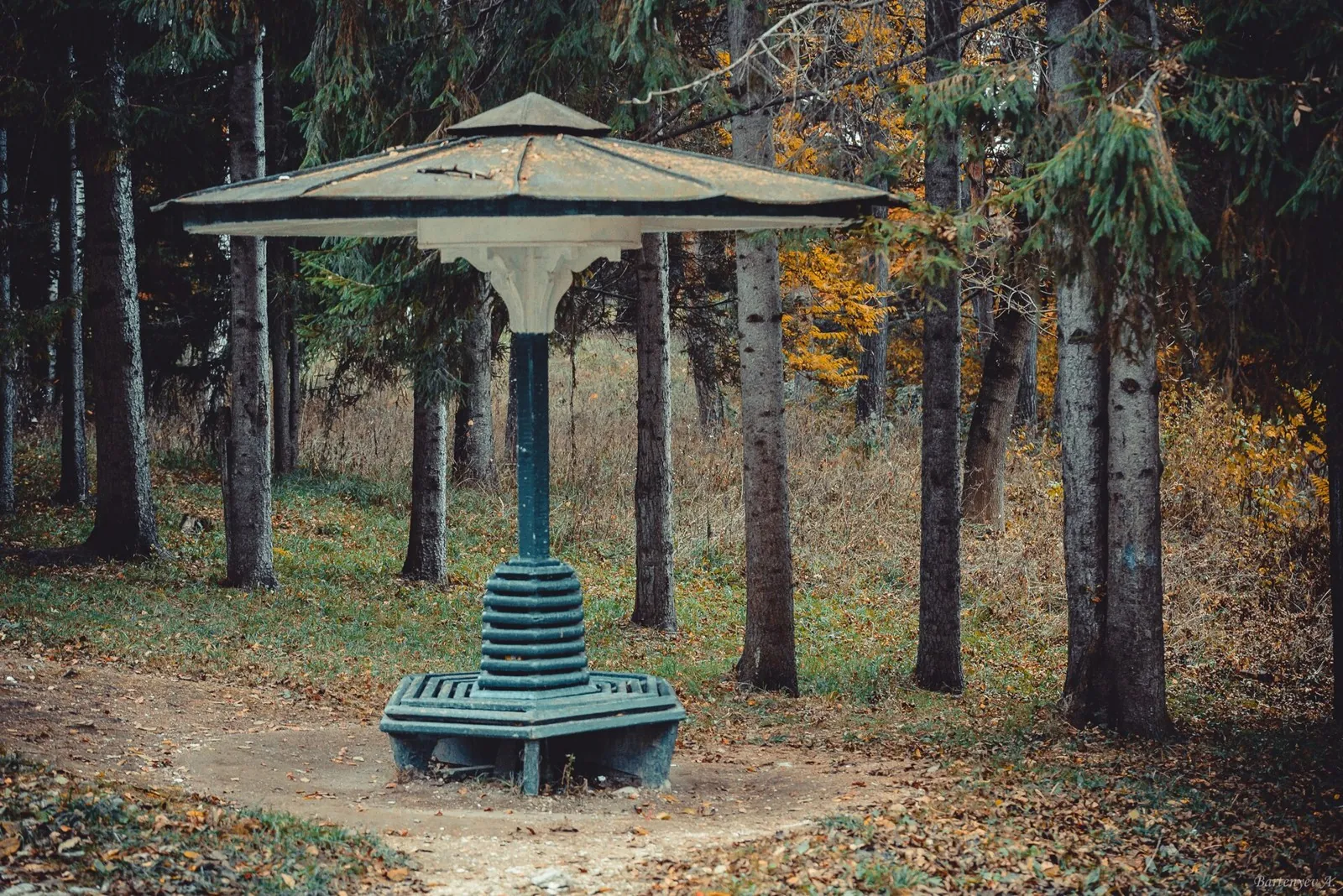
Thuja Alley gives the walk a specific destination, while the longer woodland section reveals the park beyond its busiest lower paths. Retracing the approach towards the town suits a day ending on a familiar park side.

12.8 km 89 +0 m Hard
Kezenoy-Am to Hebda: Preobrazhenskaya Fortress and Khupurda-Meir
✓ TrailTrack

Kezenoy-Am to Hebda: Preobrazhenskaya Fortress and Khupurda-Meir

Caucasus · Hiking · Multi-day

Walk from Lake Kezenoy-Am towards Hebda through Preobrazhenskaya Fortress and Khupurda-Meir. The lake, historic site and pass provide three distinct reasons to pause in this direction.

93.6 km 89 +0 m Hard
Seven-Colour and Two Upper Lakes: The Lower-Bridge Ascent along Bolshaya Dukka
✓ TrailTrack

Seven-Colour and Two Upper Lakes: The Lower-Bridge Ascent along Bolshaya Dukka

Hiking · One-day

Pause at Seven-Colour for the water itself: changing light and viewing angles alter its appearance. The two upper lakes provide a second destination and show how the larger basin fits into the surrounding terrain. Devote the day to one valley without confusing Bolshaya Dukka with the neighbouring Rybka and Arkasarskoye outing.

11.5 km 89 +0 m Moderate
Agura: Upper Junction to the Waterfalls and Devil’s Pool
✓ TrailTrack

Agura: Upper Junction to the Waterfalls and Devil’s Pool

Hiking · One-day

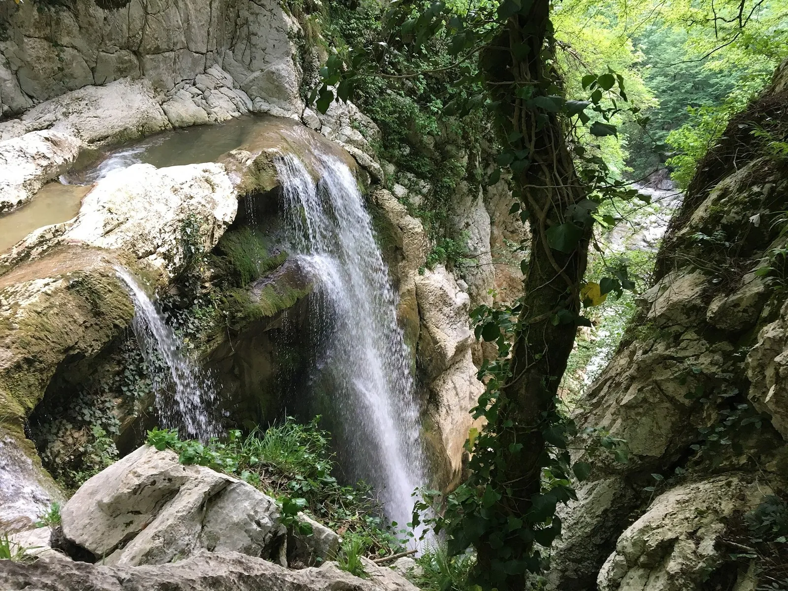
Agura Waterfalls and Devil’s Pool give the gorge direction two specific destinations. Visit only after permitted access is confirmed, without expecting full flow or a view of the middle cascade.

2.7 km 89 +0 m Easy
Kaskelen Side-Valley Ascent towards Upper Cossack Lake
✓ TrailTrack

Kaskelen Side-Valley Ascent towards Upper Cossack Lake

Hiking · One-day

Leave Kaskelen’s side valleys for open Southern Cossack high ground and discover Upper Cossack Lake after a long changing landscape.

13.2 km 89 +1575 m Hard
Randonneurs’ Anniversary Route: via Mogilev
✓ TrailTrack

Randonneurs’ Anniversary Route: via Mogilev

магазин · Bicycle · Multi-day

Expect shore or waterside sections are recorded on the route on this 207.65 km point-to-point cycling route. Gentle terrain: 265 m of total ascent over 207.65 km. Surface: asphalt. Allow at least 3 days and verify overnight and exit options independently.

207.7 km 89 +265 m Hard
Global Fat Bike Day Winter Circuit: northern route
✓ TrailTrack

Global Fat Bike Day Winter Circuit: northern route

Hiking · Multi-day

This 34.56 km circular walking route is shaped by its terrain, surface and pace rather than a single landmark. Gentle terrain: 175 m of total ascent over 34.56 km. Surface: asphalt plus natural ground. Allow at least 2 days and verify overnight and exit options independently.

34.6 km 89 +175 m Hard
To the Water: Opening the Beach Season
✓ TrailTrack

To the Water: Opening the Beach Season

Hiking · Multi-day

Expect shore or waterside sections are recorded on the route on this 38.15 km circular walking route. Gentle terrain: 292 m of total ascent over 38.15 km. Surface: concrete plus asphalt. Allow at least 2 days and verify overnight and exit options independently.

38.2 km 89 +292 m Hard
Road of Silence: Western route
✓ TrailTrack

Road of Silence: Western route

Hiking · Multi-day

Expect woodland is one of the route's main features on this 37.83 km point-to-point walking route. Gentle terrain: 45 m of total ascent over 37.83 km. Surface: natural ground plus asphalt. Allow at least 2 days and verify overnight and exit options independently.

37.8 km 89 +45 m Hard
Spring Route to Dokshitsy: via Sosenka
✓ TrailTrack

Spring Route to Dokshitsy: via Sosenka

Bicycle · One-day

The recorded line is a 21.44 km point-to-point cycling route, with woodland is one of the route's main features. Gentle terrain: 49 m of total ascent over 21.44 km. Surface: asphalt. Estimated moving time is about 2.0 hours; add time for pauses and navigation.

21.4 km 89 +49 m Moderate
Minsk Grand Circuit: Southern route
✓ TrailTrack

Minsk Grand Circuit: Southern route

М · Bicycle · Multi-day

This 300.55 km circular cycling route passes through terrain where woodland is one of the route's main features. Gentle terrain: 256 m of total ascent over 300.55 km. Surface: asphalt plus concrete. Allow at least 4 days and verify overnight and exit options independently.

300.6 km 89 +256 m Hard
Dobrush: Gomel: Road between Towns
✓ TrailTrack

Dobrush: Gomel: Road between Towns

КП Финиш · Hiking · Multi-day

This 202.04 km point-to-point walking route passes through terrain where woodland is one of the route's main features. Gentle terrain: 154 m of total ascent over 202.04 km. Allow at least 9 days and verify overnight and exit options independently.

202.0 km 89 +154 m Hard
Grodno towards Mogilev: Lida Castle, Oshmyany and Hlybokaye
✓ TrailTrack

Grodno towards Mogilev: Lida Castle, Oshmyany and Hlybokaye

Grodno towards Mogilev: Lida Castle · Hiking · Multi-day

Move gradually from the Grodno region into northern and eastern Belarus, connecting Lida Castle, Oshmyany’s architecture and Hlybokaye’s lakeshore. It suits travellers interested in the roads between towns as well as their principal sights.

815.6 km 89 +465 m Hard
Through Brest: The Railway Museum and Fortress Streets
✓ TrailTrack

Through Brest: The Railway Museum and Fortress Streets

А · Bicycle · One-day

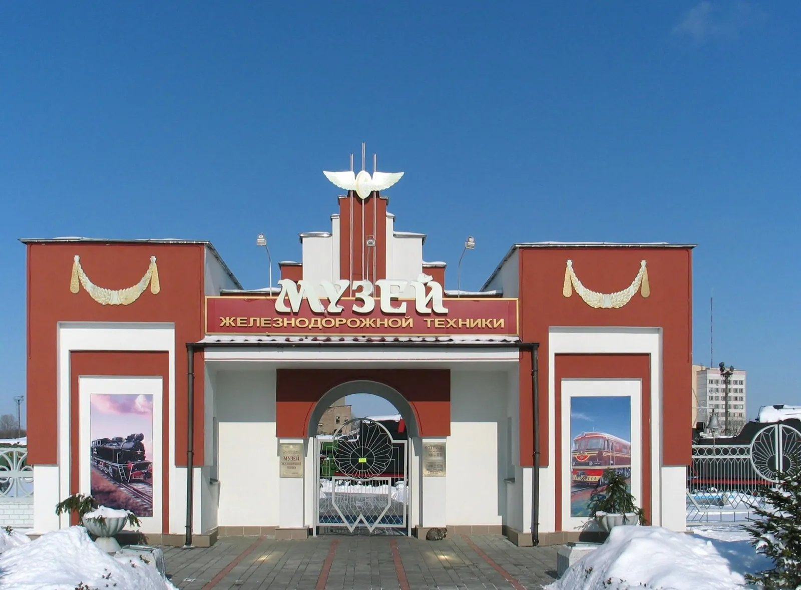
The railway museum and 1812 memorial stone provide specific reasons to linger in the fortress district between the two city edges.

22.0 km 89 +26 m Moderate
Sasa-Khoboy
✓ TrailTrack

Sasa-Khoboy

Hiking · One-day

The interest of this 16.5 km point-to-point walking route lies in travelling the distance itself: its gradients, surface and rhythm. Noticeable climbing: 508 m of total ascent over 16.5 km. Estimated moving time is about 5.7 hours; add time for pauses and navigation.

16.5 km 89 +508 m Hard
Terrenkur 2: Down from Red Sun through the Middle Park
✓ TrailTrack

Terrenkur 2: Down from Red Sun through the Middle Park

Caucasus · Hiking · One-day

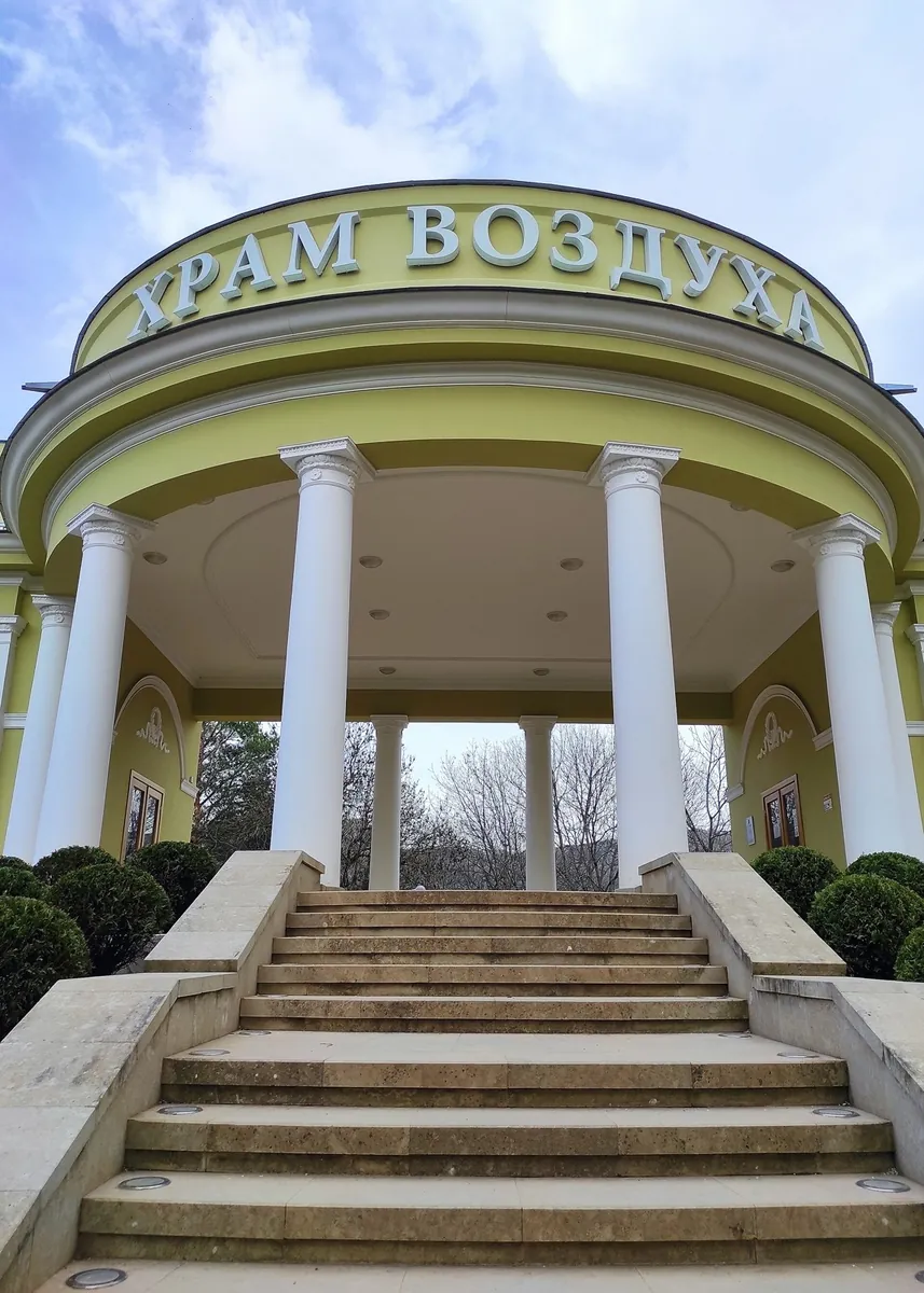
The descent follows a particular change from the open Red Sun platform through pine avenues to spa architecture. The Air Temple provides a named historical stop between the higher park and the gallery.

5.1 km 88 +0 m Moderate
Terrenkur 2 A: a Short Descent beside the Air Temple
✓ TrailTrack

Terrenkur 2 A: a Short Descent beside the Air Temple

Caucasus · Hiking · One-day

Two compact park scenes give this walk a clear purpose: the classical pavilion beside the start and the sandstone formations on the descent. They offer a close look at a Middle Park corner without a long circuit of the Dzhinal ridge.

0.9 km 88 +0 m Easy
Caucasian Trail: Unmarked Mountain Parts of Karachay-Cherkessia
✓ TrailTrack

Caucasian Trail: Unmarked Mountain Parts of Karachay-Cherkessia

Hiking · Multi-day

High saddles reveal how the Caucasus changes from the Prielbrusye side towards Arkhyz and the western valleys. Select an individual crossing with a particular pass while retaining its separate approach and descent in the overall plan.

297.5 km 88 +0 m Hard
Ossetian Caucasian Trail: two approaches to Dargavs
✓ TrailTrack

Ossetian Caucasian Trail: two approaches to Dargavs

Caucasus · Hiking · Multi-day

Approach Dargavs from Ezmi and Saniba Pass, or choose an independent western journey through mountain Ossetia. The necropolis provides a shared destination and a thoughtful conclusion to exploring its surrounding valleys.

161.0 km 88 +0 m Hard
Akhun Tower to Agura: Woodland and Waterfall Gorge
✓ TrailTrack

Akhun Tower to Agura: Woodland and Waterfall Gorge

Hiking · One-day

Akhun Tower’s exterior and Agura’s natural rock forms belong to one upper-to-gorge direction. Once permission is confirmed, it allows an architectural stop to be compared with cascade steps and Devil’s Pool.

5.0 km 88 +0 m Easy
Blue Lake in the Turya mountains: approach to a glacial basin
✓ TrailTrack

Blue Lake in the Turya mountains: approach to a glacial basin

Hiking · One-day

The attraction is a high mountain lake in a natural glacial basin, without resort viewing platforms around its shore. Water and rock give Blue Lake a distinct setting for quiet observation. Visit only with an agreed, lawful day plan; a lakeside tent camp is not an authorised part of the experience.

7.4 km 88 +0 m Easy
Akhshtyr Ridge: the Short Cliff-Side Gorge View
✓ TrailTrack

Akhshtyr Ridge: the Short Cliff-Side Gorge View

Hiking · One-day

Akhshtyr Gorge gives the short cliff-side version a specific natural destination. Once permission is agreed, examine the canyon from the upper path without adding distant caves, a waterfall or managed attractions.

1.0 km 88 +0 m Easy
Kvashe Pass Mountain Trail
✓ TrailTrack

Kvashe Pass Mountain Trail

Hiking · One-day

Plan this 7.94 km circular walking route from its verified distance, gradients and recorded surface rather than unconfirmed landmarks. Estimated moving time is about 2.3 hours; add time for pauses and navigation.

7.9 km 88 +0 m Easy
Cherek Valley and Alagir Gorge: Two Parts of a Road Journey
✓ TrailTrack

Cherek Valley and Alagir Gorge: Two Parts of a Road Journey

Caucasus · Car · One-day

The two valleys reveal different Caucasus histories: old Balkarian settlements and the Ossetian reverence for the protector of travellers. Uastyrdzhi and Ishkanty provide specific reasons to leave the car and explore.

79.3 km 88 +3331 m Hard
Back Page 49 of 79 Next