TrailTrack routes

Маршруты с подготовленным описанием, сложностью, покрытием и планированием визита.

Found 142 routes
Choose a route from the list or view routes on the map.
Section Ski Trudnyy-Slyudyanka from Great Olkhi to Baykala
✓ TrailTrack

Section Ski Trudnyy-Slyudyanka from Great Olkhi to Baykala

Skiing · One-day

Treat this 17.71 km point-to-point cross-country skiing route as a complete outing, paying attention to the terrain and changing surface underfoot. Gentle terrain: 83 m of total ascent over 17.71 km. Estimated moving time is about 3.1 hours; add time for pauses and navigation.

17.7 km 106 +83 m Moderate
Nekrasovskaya to Morozki: Nerskoye woods, Klubish and the broad northern arc
✓ TrailTrack

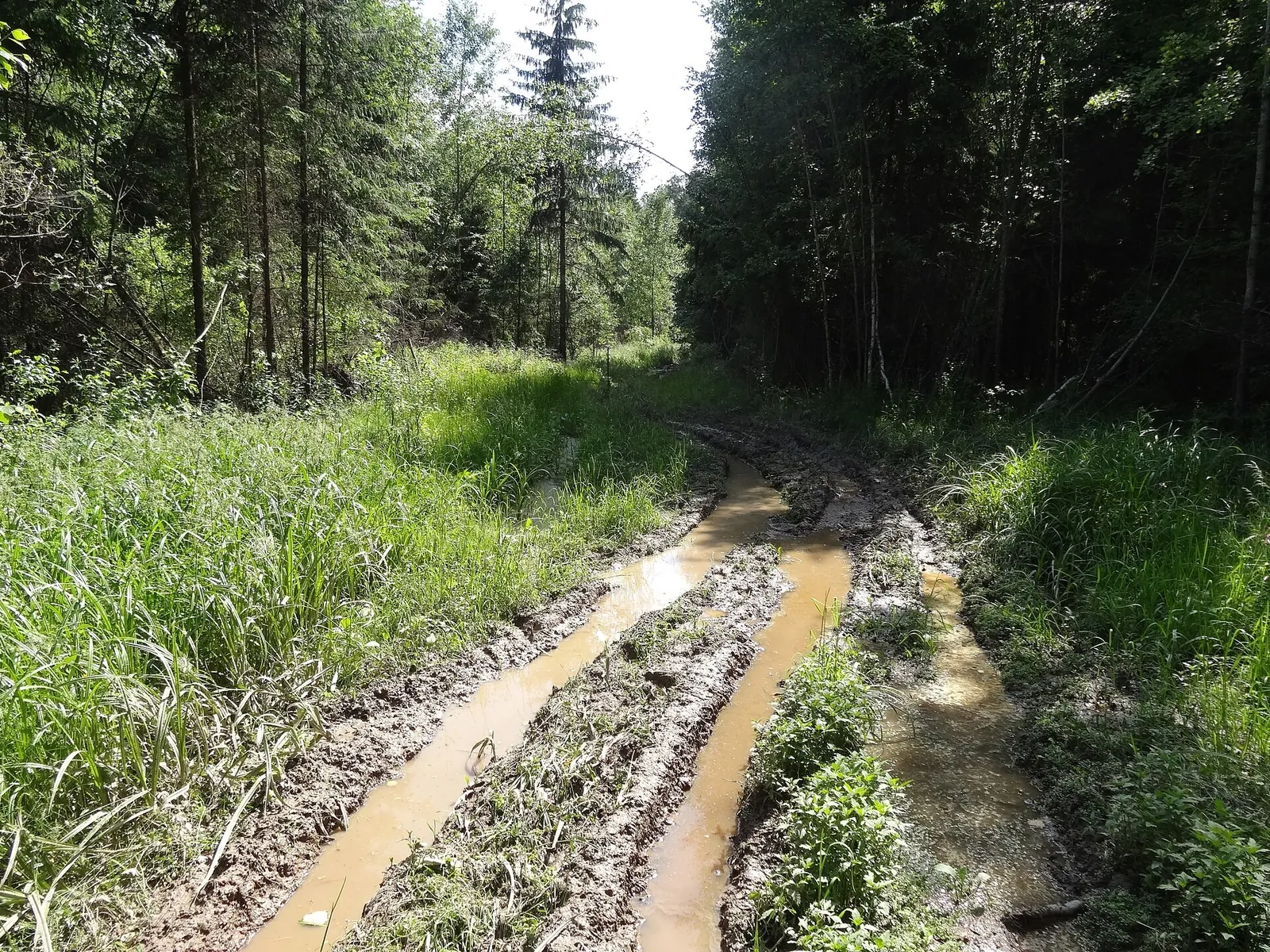
Nekrasovskaya to Morozki: Nerskoye woods, Klubish and the broad northern arc

Moscow region · Skiing · One-day

Connect the protected Nerskoye woods with two distinct Klubish locations and finish around a broad northern arc towards Morozki. Beyond the stream, the woodland journey follows its own continuation rather than turning to Iksha; this gives the passage its particular character.

38.3 km 106 +512 m Hard
Woodland descent to Tushkanchik and a separate Restaurant Camp branch
✓ TrailTrack

Woodland descent to Tushkanchik and a separate Restaurant Camp branch

Hiking · One-day

Walk the wooded side of the nature path towards the ranger post and visit the real Grot Viewpoint. The separate Restaurant Camp branch can help prepare another approach to the shared junction after agreeing the whole programme.

6.8 km 105 +97 m Moderate
The Historic Morozki–Radonezh Ski Circle: Across the Yakhroma
✓ TrailTrack

The Historic Morozki–Radonezh Ski Circle: Across the Yakhroma

Moscow region · Skiing · One-day

The variant reveals how long club ski outings linked Morozki surroundings with the Yakhroma valley. The bridge near Khlyby is a specific stop on the former passage, available for consideration after the chosen section’s access has been checked.

56.9 km 104 +542 m Hard
Pionerskaya Railway to Skolkovo: A Run via Pear Pond, Forest Lake and Lazutinka
✓ TrailTrack

Pionerskaya Railway to Skolkovo: A Run via Pear Pond, Forest Lake and Lazutinka

Moscow region · Run · One-day

Turn a regular run into a directed Pionerskaya–Skolkovo outing, meeting Pear Pond, Forest Lake, Betonka and Sominka Stream. Lazutinka adds Podushkino Forest’s established sporting atmosphere, while railway access at both ends simplifies travel.

14.3 km 104 +142 m Moderate
Letniy at Munku-Sardyk
✓ TrailTrack

Letniy at Munku-Sardyk

Hiking · One-day

Treat this 12.82 km point-to-point walking route as a complete outing, paying attention to the terrain and changing surface underfoot. Noticeable climbing: 329 m of total ascent over 12.82 km. Estimated moving time is about 4.3 hours; add time for pauses and navigation.

12.8 km 103 +329 m Moderate
Orlyonok and Vityaz: Separate Ski Branches of the Southern Arc
✓ TrailTrack

Orlyonok and Vityaz: Separate Ski Branches of the Southern Arc

Skiing · One-day

Discover Vityaz’s winter surroundings and choose a longer woodland outing than the ordinary short rock approach. Separate branches reveal the Orlyonok area and southern Olkha Plateau when connections and admission have been confirmed.

28.0 km 103 +1391 m Hard
Dubna Institute district: the central ski line, western branch and eastern section
✓ TrailTrack

Dubna Institute district: the central ski line, western branch and eastern section

Moscow region · Skiing · One-day

Choose the central ski line and its western branch in Dubna’s Institute district, or explore the eastern section separately. The choice of directions is useful here: build your winter outing around a checked approach and return instead of treating the sections as a continuous circuit.

3.2 km 102 +6 m Easy
Archival Sotnya 2015: western-arc Klubish and eastern-arc Yakhroma
✓ TrailTrack

Archival Sotnya 2015: western-arc Klubish and eastern-arc Yakhroma

Moscow region · Skiing · One-day

Explore the former Moscow-region Sotnya through its water boundaries: the Klubish on the western approach, the canal at Morozki and the Yakhroma in the eastern woods. Choose a confirmed accessible section for travel; the archival idea does not establish today’s connection of the entire journey.

107.1 km 102 +1537 m Hard
Nakhabino to Molodyozhnaya: Stepanovskoye Ponds and Razdory Glades
✓ TrailTrack

Nakhabino to Molodyozhnaya: Stepanovskoye Ponds and Razdory Glades

Moscow region · Run · One-day

Spend an active day travelling from a suburban railway station to the Moscow metro, with different places to discover along the way. St Sergius and St Elijah churches provide architectural pauses, Semin and Bykov ponds offer waterside stops, and the woodland glades change the mood. The smiling Khoja Nasreddin makes a recognisable meeting point after a substantial run.

53.6 km 102 +926 m Hard
Bakovka to Kuntsevo: The 2025 Marathon via Meshchersky, Skolkovo and Romashkovo
✓ TrailTrack

Bakovka to Kuntsevo: The 2025 Marathon via Meshchersky, Skolkovo and Romashkovo

Moscow region · Run · One-day

Link Meshchersky Pond, Skolkovo, Novaya Tryokhgorka and Romashkovo Forest in one substantial run. Nature and urban culture actually alternate here: water and woodland clearings are joined by Malevich’s Cipher and Bibigon, with a finish inside Moscow.

41.1 km 102 +415 m Hard
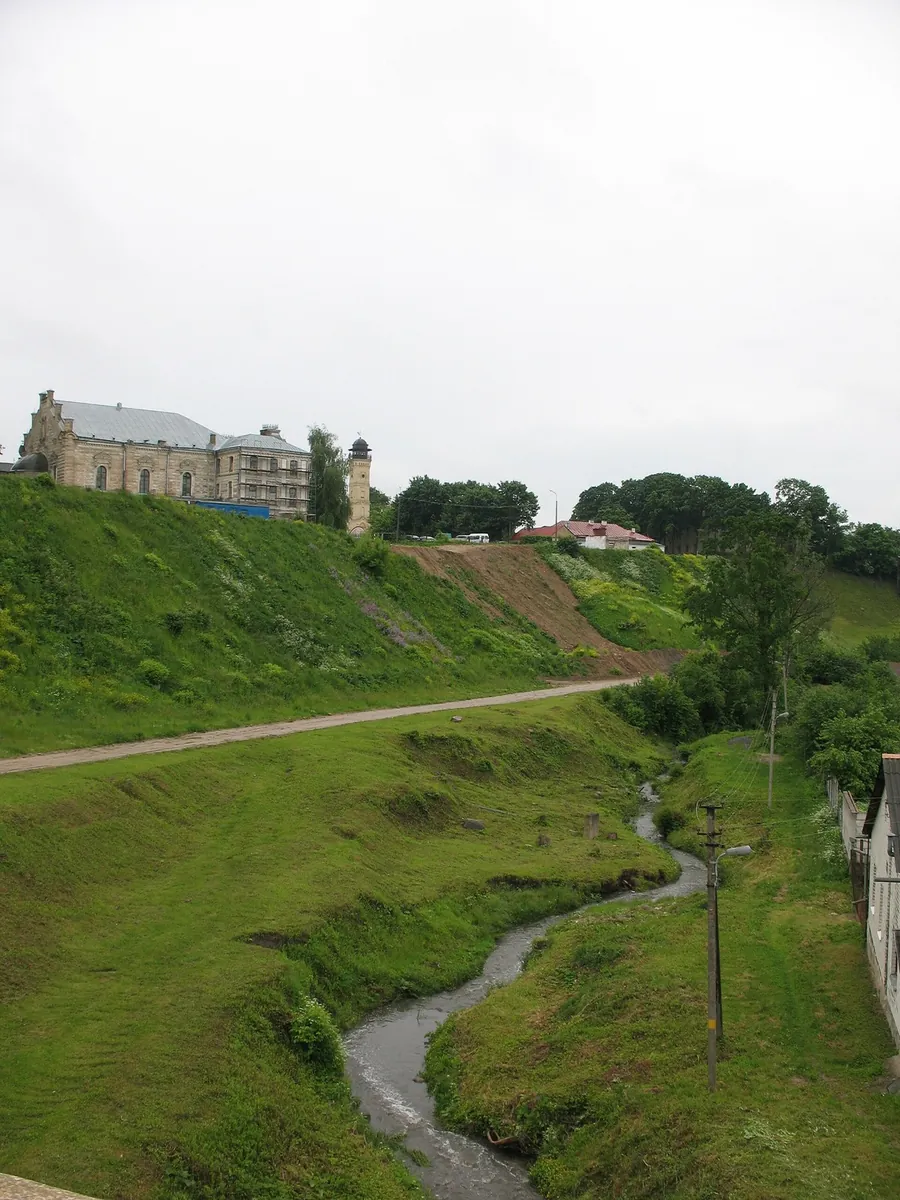
Tyzenhauz route: Haradnica, Yubileynoye Lake and the road towards Kuźnica
✓ TrailTrack

Tyzenhauz route: Haradnica, Yubileynoye Lake and the road towards Kuźnica

Tyzenhauz route: Haradnica · Bicycle · One-day

The ride links the Tyzenhauz urban ensemble with Yubileynoye Lake and the old Tatarka watermill. It is a chance to see historic Grodno give way to its suburban landscape, with worthwhile pauses rather than a continuous push towards the border.

29.7 km 101 +102 m Hard
Trail Mokryy Log
✓ TrailTrack

Trail Mokryy Log

Hiking · One-day

This is a 0.86 km point-to-point walking route with a complete recorded line to follow from start to finish. Strong mountain relief: 141 m of total ascent over 0.86 km. Estimated moving time is about 0.7 hours; add time for pauses and navigation.

0.9 km 101 +141 m Easy
Around Trail Solnechnyy Circuit
✓ TrailTrack

Around Trail Solnechnyy Circuit

Hiking · One-day

Treat this 11.94 km circular walking route as a complete outing, paying attention to the terrain and changing surface underfoot. Noticeable climbing: 340 m of total ascent over 11.94 km. Surface: natural ground. Estimated moving time is about 4.1 hours; add time for pauses and navigation.

11.9 km 101 +340 m Moderate
Green Lungs of Moscow 2018: Volokolamskaya, Petrovo-Dalneye and Strogino
✓ TrailTrack

Green Lungs of Moscow 2018: Volokolamskaya, Petrovo-Dalneye and Strogino

Moscow region · Run · One-day

Discover how western Moscow’s woodland belts connect through small river valleys and the broad Moscow River. Bykov Pond and the Petrovo-Dalneye bridge provide waterside pauses, the Medvenka offers a quieter woodland setting, and Malevich Park adds contemporary art. Once access and alternatives are checked, these places can form a rewarding long training outing with different starting and finishing points.

66.7 km 101 +775 m Hard
Katuar to Iksha: the western loop and northern Klubish crossing
✓ TrailTrack

Katuar to Iksha: the western loop and northern Klubish crossing

Moscow region · Run · One-day

Choose Katuar–Iksha’s western loop and encounter the Klubish at the specific northern crossing. This version explores another river side with independent arrangements between the two Savyolovsky endings.

21.8 km 101 +76 m Moderate
Chastsovskaya to Zvenigorod: A Run through the Ostrovnya Valley
✓ TrailTrack

Chastsovskaya to Zvenigorod: A Run through the Ostrovnya Valley

Moscow region · Run · One-day

Spend a day in the woods without returning along the same road. The Ostrovnya shapes the main section, while the Nakhavnya provides a final river encounter before the train. This suits an independently planned run with small-river pauses, exploring the countryside outside Zvenigorod’s usual town itinerary.

19.3 km 101 +330 m Hard
Raduzhnoye and Lazurnoye Lakes: Separate Ergaki Pass Sections
✓ TrailTrack

Raduzhnoye and Lazurnoye Lakes: Separate Ergaki Pass Sections

Hiking · One-day

Visit the shore sides of Raduzhnoye and Lazurnoye Lakes and cross the specific Golova, Intermediate, Artists 1, Sleeping Sayan and Taigish 2 saddles. Each section has its own mountain approach and independent ending.

9.2 km 100 +584 m Hard
Skvoznaya Trail
✓ TrailTrack

Skvoznaya Trail

Hiking · One-day

The interest of this 5.52 km point-to-point walking route lies in travelling the distance itself: its gradients, surface and rhythm. Strong mountain relief: 324 m of total ascent over 5.52 km. Surface: natural ground plus concrete. Estimated moving time is about 2.2 hours; add time for pauses and navigation.

5.5 km 100 +324 m Easy
An Afanasotka Ski Circle: Radonezh Clearings and Khlyby
✓ TrailTrack

An Afanasotka Ski Circle: Radonezh Clearings and Khlyby

Moscow region · Skiing · One-day

A single circle introduces Afanasotka’s woodland geography without repeating its full racing distance. The southern Khlyby bridge gives a specific stop, while the rest of the outing forms a substantial independent winter day.

48.4 km 100 +829 m Hard
Nekrasovskaya to Iksha: the western Nerskoye woodland loop and northern Klubish
✓ TrailTrack

Nekrasovskaya to Iksha: the western Nerskoye woodland loop and northern Klubish

Moscow region · Skiing · One-day

Choose an extra western woodland turn and approach the Klubish from a different direction than the more direct version. The protected Nerskoye woods remain part of the journey, while the northern river location changes its final woodland sequence towards Iksha.

28.9 km 99 +348 m Hard
Skolkovo to Strogino in Winter: Beer, Agregatnaya and High Glades
✓ TrailTrack

Skolkovo to Strogino in Winter: Beer, Agregatnaya and High Glades

Moscow region · Run · One-day

Run through Romashkovo Forest in winter, linking Beer Glade, Agregatnaya Glade and High Glade in sequence. This version has a practical purpose: its woodland diversions suit the snowy season, while rail and metro make different departure and finishing places workable.

17.1 km 99 +272 m Moderate
Nekrasovskaya to Iksha: Nerskoye woods and the southern Klubish crossing
✓ TrailTrack

Nekrasovskaya to Iksha: Nerskoye woods and the southern Klubish crossing

Moscow region · Skiing · One-day

Leave the railway edge of Nekrasovskaya for the protected Nerskoye woods, then reach the Klubish and continue towards Iksha. The southern river location gives this version its own shape: after the northward woodland passage, the journey gathers towards its eastern ending.

24.8 km 98 +312 m Hard
Nekrasovskaya to Zavety Ilyicha: the Pestovskoye ski bend and Uchinskoye side
✓ TrailTrack

Nekrasovskaya to Zavety Ilyicha: the Pestovskoye ski bend and Uchinskoye side

Moscow region · Skiing · One-day

See two Moscow-region reservoirs in sequence on a winter journey: the northern Pestovskoye turn and the Uchinskoye shore side before Zavety. Railway endings let you organise travel without returning through the same woodland sections.

33.2 km 98 +158 m Hard
Back Page 5 of 6 Next