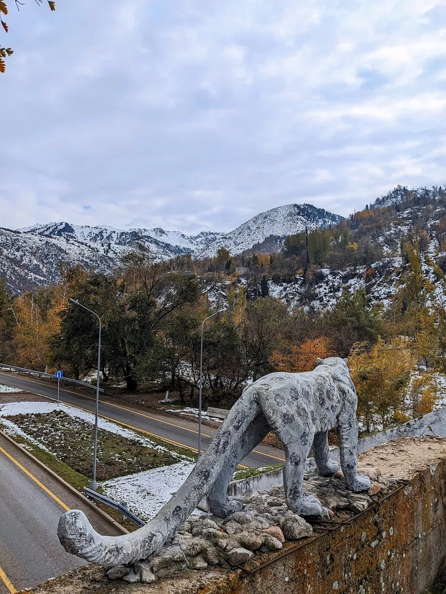


Tabagan (MAU 9)
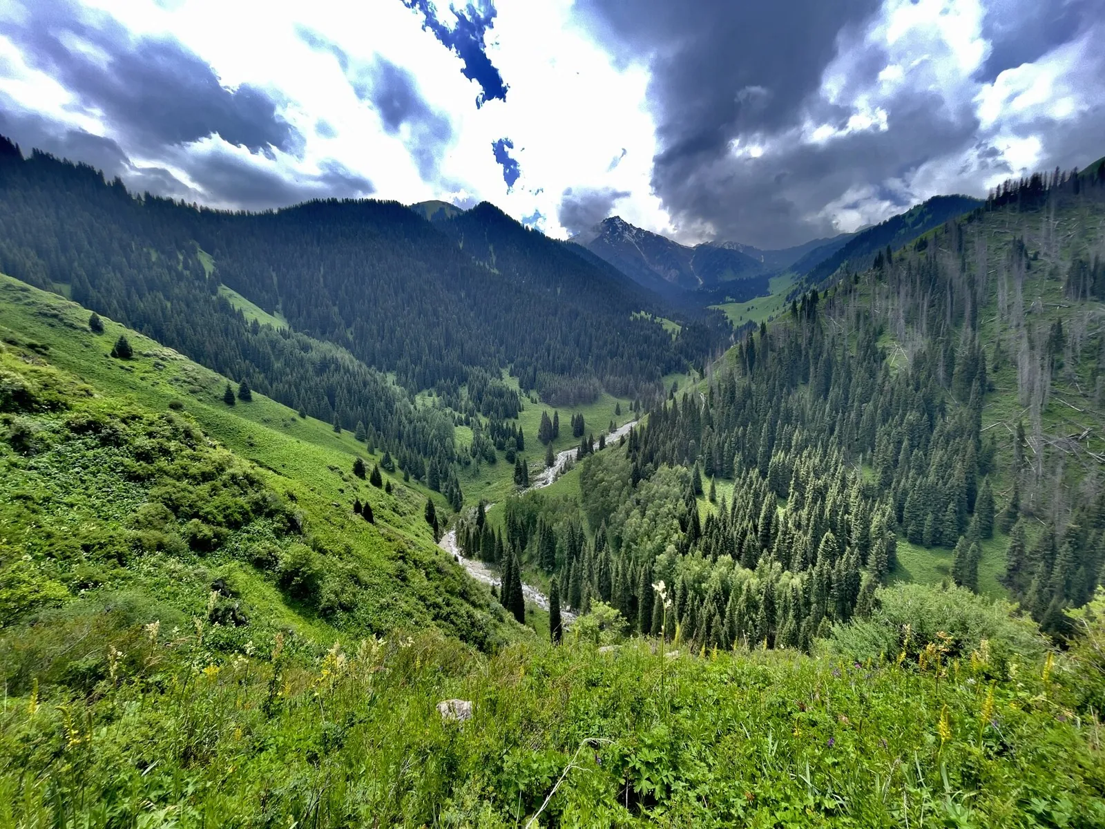
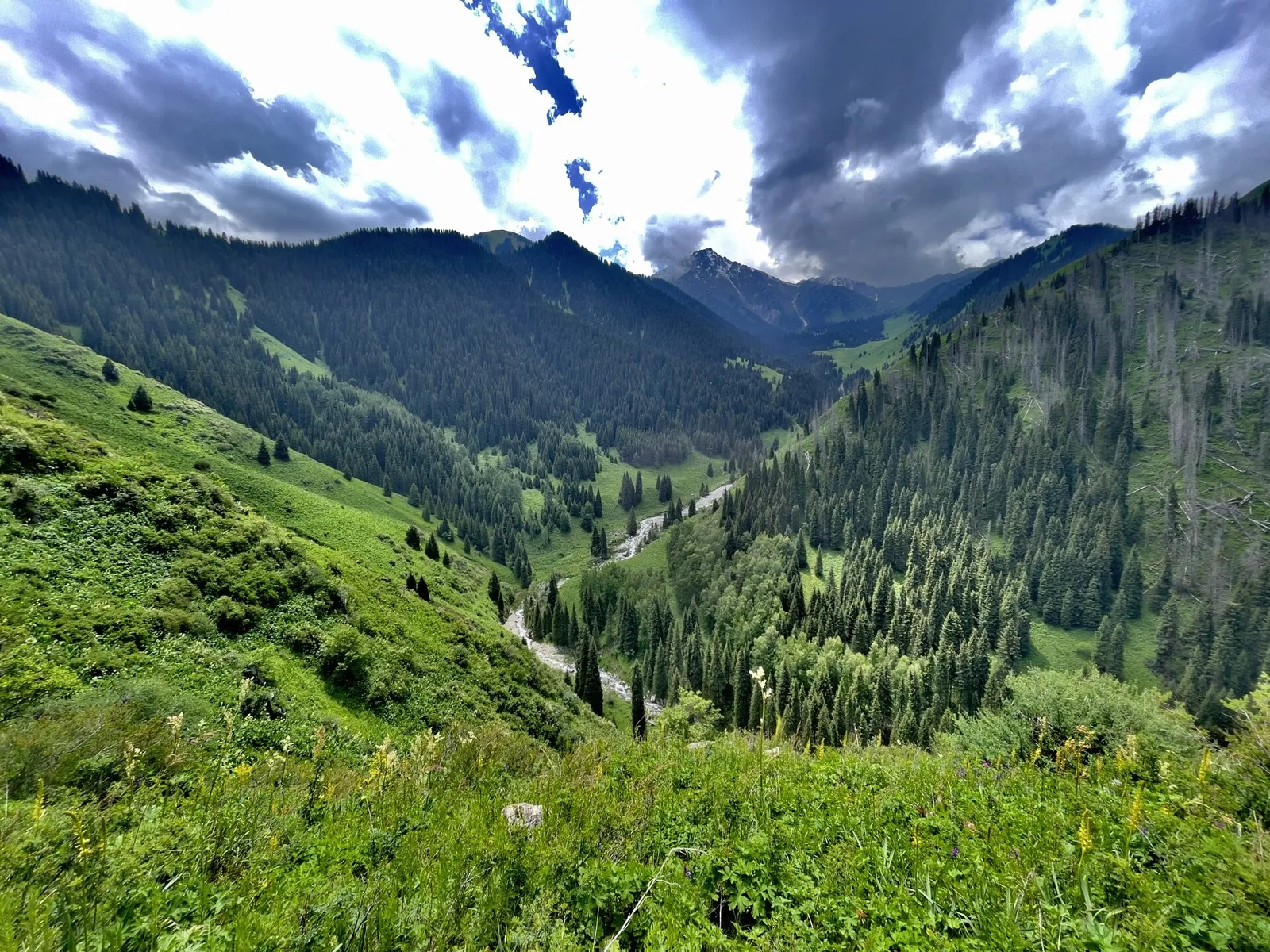
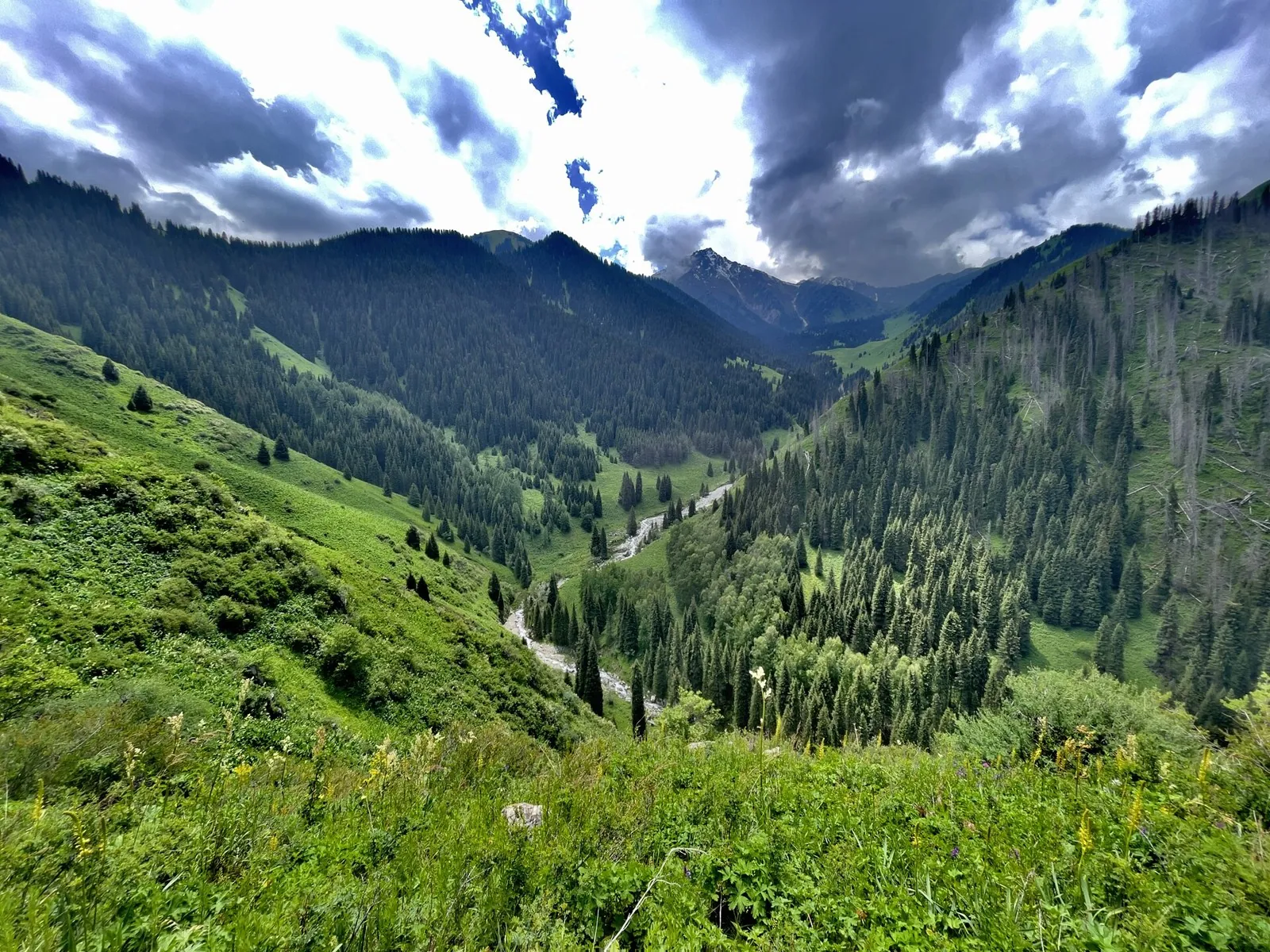
This is a multi-part cycling route of about 16.3 km. The clearest starting reference is Besqaynar. The route contains 5 …

Route catalog
Routes in Алматинская область: from short walks to full-day trips. Check the map, distance, and difficulty before starting.
Найдём подходящие маршруты по вашим интересам, локации и условиям
Found 22 routes
Curated: 22 · Community tracks: 0
This is a multi-part cycling route of about 16.3 km. The clearest starting reference is Besqaynar. The route contains 5 …
Expect roughly 14.9 km of lowland or foothill travel. The format is multi-part, and Кызылжар is the starting reference. …
This multi-part route is about 92.5 km long. Use Qonaev to locate the starting area. The route contains 16 separate part…
This is a multi-part hiking route of about 37.6 km. The clearest starting reference is Озёрный. The route contains 3 sep…
The route covers about 18.5 km as a multi-part hiking route, with Glaciological station T-1 (Tuyuksu) as the most useful …
The route covers about 10.2 km as a point-to-point hiking route, with Leshoz as the most useful starting reference. Use …
Expect roughly 8.3 km of high-mountain travel. The format is multi-part, and Visyachaya valley is the starting reference.…
Expect roughly 13.2 km of high-mountain travel. The format is point-to-point, and Кызылкунгей is the starting reference. …
This is a point-to-point hiking route of about 45.4 km. The clearest starting reference is Буйражар. Use Буйражар as the…
The route covers about 7.1 km as a point-to-point hiking route, with Кайнар as the most useful starting reference. Use К…
This is a point-to-point hiking route of about 7.8 km. The clearest starting reference is Bartugul. Use Bartugul as the …
The route covers about 1.3 km as a point-to-point hiking route, with Saty as the most useful starting reference. Use Sat…
Expect roughly 2.4 km of high-mountain travel. The format is point-to-point, and Glaciological station T-1 (Tuyuksu) is t…
The route covers about 8.7 km as a point-to-point hiking route, with Visyachaya valley as the most useful starting refere…
Expect roughly 27.7 km of high-mountain travel. The format is loop, and Озёрный is the starting reference. The route ret…
This is a multi-part hiking route of about 57.2 km. The clearest starting reference is Кызылкунгей. The route contains 2…
This multi-part route is about 25.4 km long. Use Saty to locate the starting area. The route contains 2 separate parts; …
The route covers about 18.1 km as a point-to-point hiking route, with Курменты as the most useful starting reference. Us…