TrailTrack routes

Маршруты с подготовленным описанием, сложностью, покрытием и планированием визита.

Found 1895 routes
Choose a route from the list or view routes on the map.
The Protva Valley between Borovsk and Vereya: Separate Walks to Churches and Bridges
✓ TrailTrack

The Protva Valley between Borovsk and Vereya: Separate Walks to Churches and Bridges

Moscow region · Hiking · Multi-day

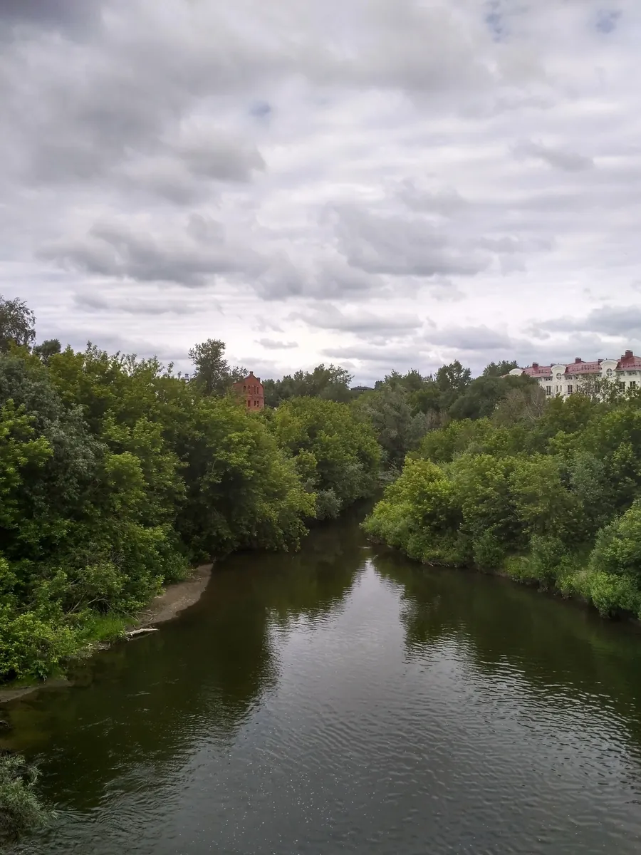
Choose your own chapter of the Protva: Borovsk’s bridge, Sovyaki’s classical church, rural Dubrovo or Naberezhnaya Sloboda with its suspension crossing. Separate walks let you look carefully at specific places and return for another part of the valley on a later day.

50.2 km 148 +196 m Moderate
Borovsky Tract from Bashkino: Chaynikovo Wetland and Kuzminka Meadow
✓ TrailTrack

Borovsky Tract from Bashkino: Chaynikovo Wetland and Kuzminka Meadow

Moscow region · Hiking · One-day

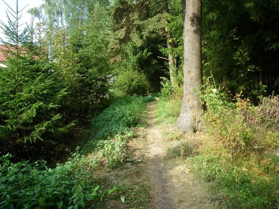
Explore an old road’s woodland remnant, the wetland side of the Istya’s source and Kuzminka’s former village field. The change from allotment surroundings to an open rural clearing gives the outing its character. Plan around these real places, allowing time for difficult ground and a checked return.

15.2 km 148 +115 m Moderate
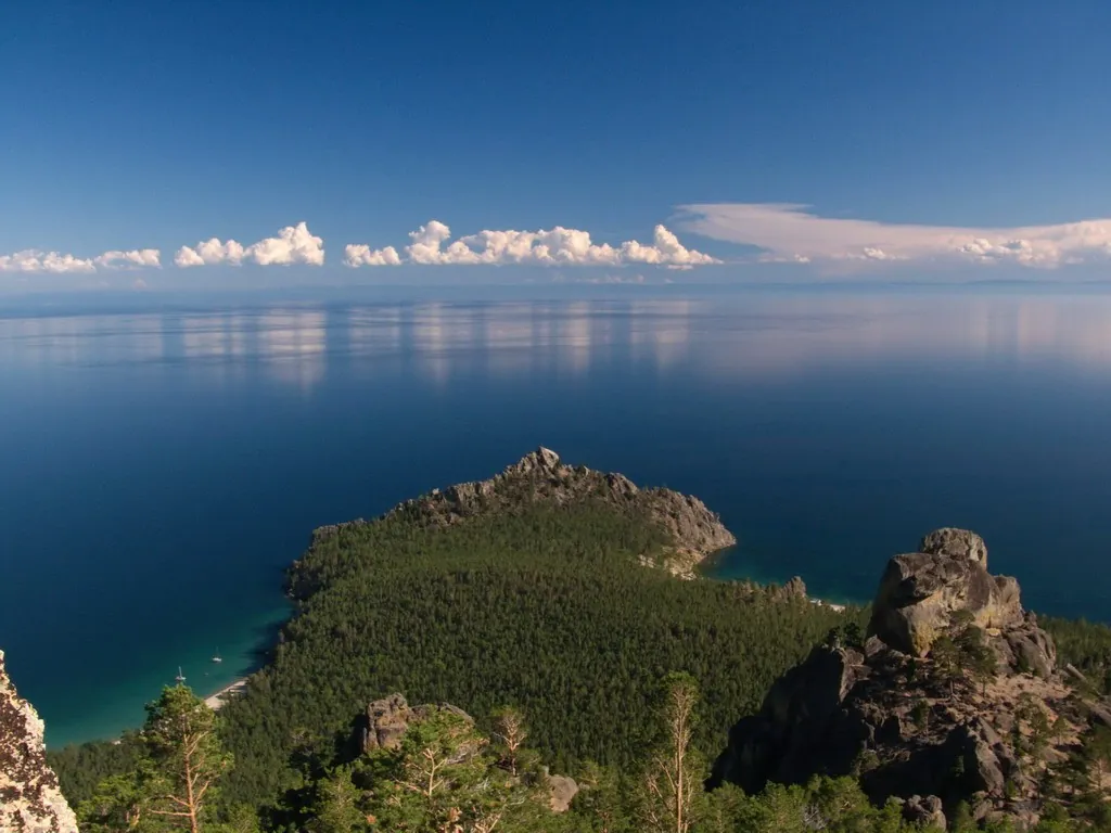
Great Baikal Trail Shores: Six Separate Passages between Listvyanka and Buguldeyka
✓ TrailTrack

Great Baikal Trail Shores: Six Separate Passages between Listvyanka and Buguldeyka

Hiking · Multi-day

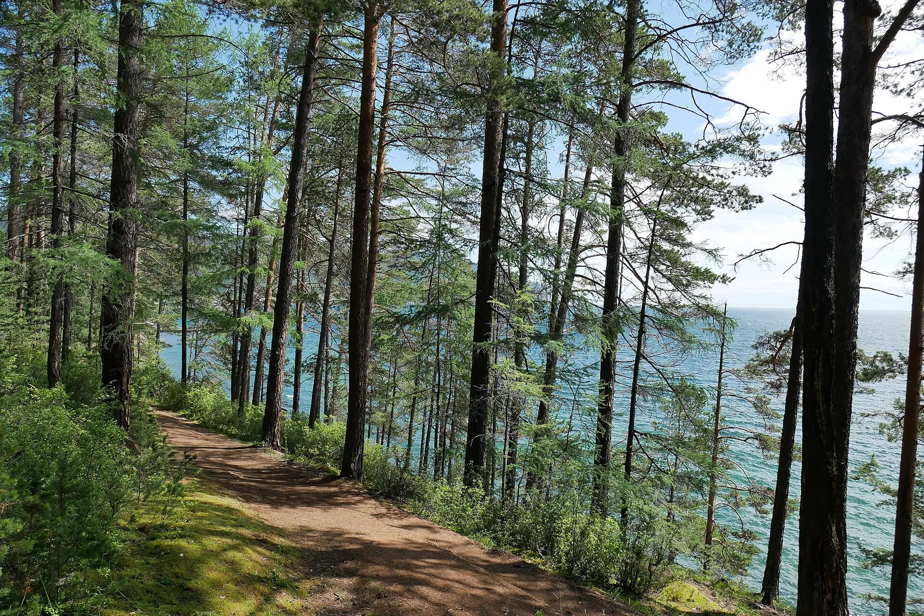
After reopening, choose a coast with its own character: Bolshiye Koty memorials, Malaya Kadilnaya valley, Babushka Bay’s sand or Peschanaya’s exposed tree roots. The northern Akademik Shokalsky memorial recalls how seriously wind and water must be treated on Baikal.

163.1 km 147 +1485 m Hard
Arshansky Pass from Right Kyngarga: Crossing to the Fedyushkina Side
✓ TrailTrack

Arshansky Pass from Right Kyngarga: Crossing to the Fedyushkina Side

Hiking · One-day

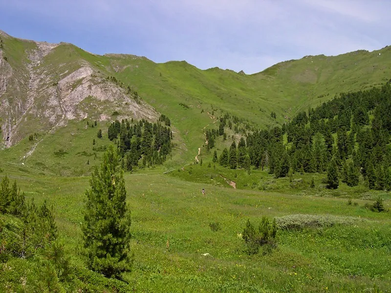
For a change between two mountain sides through a clearly named pass. The approach reveals a grassy saddle and pale rock outcrops; the crest opens the other valley side before a different descent. Include the stage in an independently prepared upper Kyngarga journey, allowing time to observe the saddle and memorial respectfully.

2.4 km 145 +518 m Hard
Chismena to Dubosekovo: a Woodland Walk to the Panfilov Division Memorials
✓ TrailTrack

Chismena to Dubosekovo: a Woodland Walk to the Panfilov Division Memorials

Moscow region · Hiking · One-day

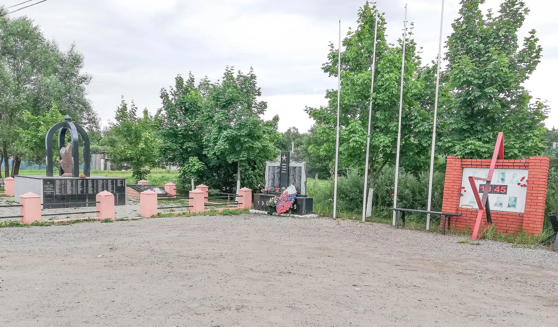
Walk from the intimate setting of the Gusenevo memorial to the open landscape of Dubosekovo. A village street and a single monument begin the historical sequence; a broad slope and a group of soldiers above the fields complete it. The woodland passages give you time to reflect on the places you have seen and spend a day away from the city.

20.4 km 145 +163 m Moderate
Fiztekh: Through Mytishchi Forest Park to Chelyuskinskaya
✓ TrailTrack

Fiztekh: Through Mytishchi Forest Park to Chelyuskinskaya

Moscow region · Hiking · One-day

The appeal is crossing between different parts of the northern suburbs. Mytishchi Forest Park provides a distinct place on the Belyaninovo passage, and finishing on another railway line avoids retracing the whole walk.

19.8 km 145 +5 m Moderate
Taltsinsky as Far as Idol: Woodland Ascent via the Dance Floor
✓ TrailTrack

Taltsinsky as Far as Idol: Woodland Ascent via the Dance Floor

Hiking · One-day

Experience the change from a lower wooded valley to Khamar-Daban’s steep slope and reach the Dance Floor for a view towards Taltsinsky. Idol clearing adds recognisable local history to this approach; continuing to the summit is unnecessary for an engaging mountain outing.

7.1 km 144 +663 m Hard
Past Chertovo Lake to Chertovy Gate Pass
✓ TrailTrack

Past Chertovo Lake to Chertovy Gate Pass

Hiking · One-day

Reach a named pass after pausing at neighbouring Chertovo Lake. Lake and saddle provide two specific natural destinations in Khamar-Daban.

3.7 km 144 +174 m Easy
Along Rozhayki
✓ TrailTrack

Along Rozhayki

Moscow region · Hiking · One-day

This is a 14.1 km point-to-point walking route with a complete recorded line to follow from start to finish. Rolling terrain: 197 m of total ascent over 14.1 km. Surface: natural ground plus asphalt. Estimated moving time is about 4.5 hours; add time for pauses and navigation.

14.1 km 144 +197 m Moderate
Morozki to Iksha: two Klubish crossings and the compact western return
✓ TrailTrack

Morozki to Iksha: two Klubish crossings and the compact western return

Moscow region · Skiing · One-day

See the Klubish at two locations on the western woodland arc, then continue towards Iksha after a short return. The compact middle changes the ski day’s character: the journey moves from the stream towards its eastern ending without the extra long southern branch.

22.7 km 144 +350 m Hard
Aromaty Mira: Biryulyovo Ponds and the Japanese Corner
✓ TrailTrack

Aromaty Mira: Biryulyovo Ponds and the Japanese Corner

Moscow region · Bicycle · One-day

Visit the Central Pond, Japanese Pavilion and smaller park decorations on one outing through Biryulyovo Dendropark. It invites a closer look at urban trees and a few quiet pauses.

2.9 km 144 +55 m Easy
Suðurnámur and the Hot Stream: an Extended Walk from the Western Junction
✓ TrailTrack

Suðurnámur and the Hot Stream: an Extended Walk from the Western Junction

Hiking · One-day

Suðurnámur reveals Landmannalaugar from its upper ridge before the walk returns to the valley’s smaller features: streams and the boardwalk beside warm water. The changes between coloured mountain slopes, lava and lower river ground give the outing its character. Choose this version for a substantial mountain day with an agreed order of passages.

16.3 km 144 +420 m Hard
Borus Waterfall from Cheremushki via Serebryany Klyuch and Talovsky Log
✓ TrailTrack

Borus Waterfall from Cheremushki via Serebryany Klyuch and Talovsky Log

Остановка "Сосновый бор" · Hiking · One-day

The Yenisey bridge, Serebryany Klyuch Spring and waterfall among the boulders give this approach a varied sequence of real places. Starting in Cheremushki offers a fuller experience of the valley than beginning at the upper woodland junction. Make plans once the park confirms the direction is open.

8.7 km 143 +751 m Hard
Slyudyanka to Chersky Peak via the two bare summits
✓ TrailTrack

Slyudyanka to Chersky Peak via the two bare summits

Hiking · Multi-day

Connect Slyudyanka with an actual ascent of Chersky Peak, progressing from forest to the open summit. The peak is the reached destination of this variant.

24.6 km 143 +1523 m Moderate
Reserve Forest: Boardwalks beside the Upper Yauza Wetlands
✓ TrailTrack

Reserve Forest: Boardwalks beside the Upper Yauza Wetlands

Moscow region · Hiking · One-day

An equipped woodland passage allows close observation of the Upper Yauza Wetlands. Notice how vegetation changes along the wet boundary and compare your observations with the park’s interpretation.

1.9 km 143 +15 m Easy
Egorevsk: Cycling Sections · E004
✓ TrailTrack

Egorevsk: Cycling Sections · E004

Moscow region · Bicycle · One-day

The interest of this 4.77 km circular cycling route lies in travelling the distance itself: its gradients, surface and rhythm. Rolling terrain: 61 m of total ascent over 4.77 km. Estimated moving time is about 0.6 hours; add time for pauses and navigation.

4.8 km 143 +61 m Easy
Trail Skazka
✓ TrailTrack

Trail Skazka

Hiking · One-day

Treat this 3.06 km point-to-point walking route as a complete outing, paying attention to the terrain and changing surface underfoot. Strong mountain relief: 254 m of total ascent over 3.06 km. Surface: natural ground. Estimated moving time is about 1.4 hours; add time for pauses and navigation.

3.1 km 142 +254 m Easy
Bruschaty Posyolok: the Inner Ski Loops beside Utrobin Stadium
✓ TrailTrack

Bruschaty Posyolok: the Inner Ski Loops beside Utrobin Stadium

Moscow region · Skiing · One-day

Explore the relief beside Ivan Utrobin Ski Stadium, take the forest bends and cross the little Banka River. Being close to the town side leaves more attention for skiing technique than for a long approach. With well-prepared snow, working climbs alternate pleasantly with pauses taken clear of the piste.

3.0 km 141 +51 m Moderate
Cycling around Skolkovo: Malevich’s Code and Innovation City Architecture
✓ TrailTrack

Cycling around Skolkovo: Malevich’s Code and Innovation City Architecture

Moscow region · Bicycle · One-day

See contemporary art beside a scientific town, from Malevich’s Code and the virus monument to unusual MatRex. A bicycle connects different quarters, while walking stops let you examine the works themselves. Concrete sculptures and buildings give this town outing its interest.

7.1 km 141 +38 m Easy
From Arkhut over Three Decembrists: Kharimta Descent to the Lower Forest Exit
✓ TrailTrack

From Arkhut over Three Decembrists: Kharimta Descent to the Lower Forest Exit

Hiking · One-day

For a distinct change of valleys across a named pass. The Arkhut side faces into the mountains, while Three Decembrists Pass opens a long descent beside Kharimta. Experience open grassy slopes changing into riverside woodland and see the Tunkinsky Mountains from an independent mountain exit.

12.8 km 140 +597 m Hard
Oroktoy Approach to Akkem: Gyuldyayry, Tekelyu and Kara-Tyurek
✓ TrailTrack

Oroktoy Approach to Akkem: Gyuldyayry, Tekelyu and Kara-Tyurek

Altai · Hiking · Multi-day

Approach Akkem along the Oroktoy path through Lake Gyuldyayry, Tekelyu and Sarybel, visit Yarlu, then return across Kara-Tyurek towards the Kucherla Petroglyphs. A distinct lake-and-pass journey without the Kucherla lakeshore detour.

100.5 km 140 +2796 m Hard
Akkem and Kucherla Lakes: Kara-Tyurek, Yarlu and Kuylyu Grotto
✓ TrailTrack

Akkem and Kucherla Lakes: Kara-Tyurek, Yarlu and Kuylyu Grotto

Altai · Hiking · Multi-day

Link the shores of Akkem and Kucherla Lakes across Kara-Tyurek, make a separate visit to Yarlu Stone City and pause at the Kucherla Petroglyphs. This version explores both major valleys below Belukha.

100.0 km 140 +2148 m Hard
Sandy Bay to Dry Bay: Coastal Route
✓ TrailTrack

Sandy Bay to Dry Bay: Coastal Route

Hiking · One-day

This 8.27 km point-to-point walking route passes through terrain where shore or waterside sections are recorded on the route. Strong mountain relief: 366 m of total ascent over 8.27 km. Surface: gravel. Estimated moving time is about 3.0 hours; add time for pauses and navigation.

8.3 km 140 +366 m Moderate
Resurrection Hill: Outside Tower, Church and House of Arts Approaches
✓ TrailTrack

Resurrection Hill: Outside Tower, Church and House of Arts Approaches

Resurrection Hill: Outside Tower · Hiking · One-day

See the specific Saviour Tower, Resurrection Church, Holy Trinity Church and the House of Arts on Shishkov Street. The historic street section links different architectural sides of old Tomsk.

3.4 km 139 +64 m Easy
Back Page 23 of 79 Next