From Svetloe’s camps via Zolotarnoye to Pikantny
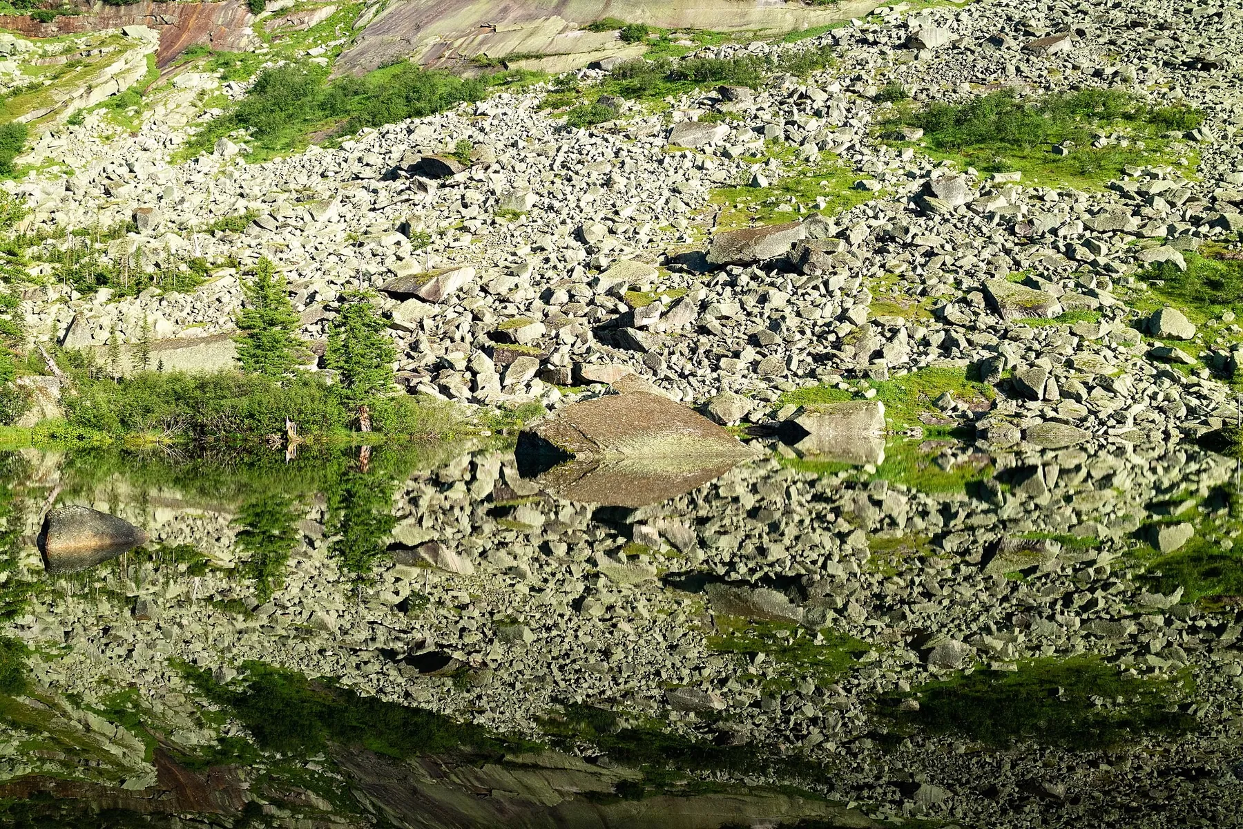
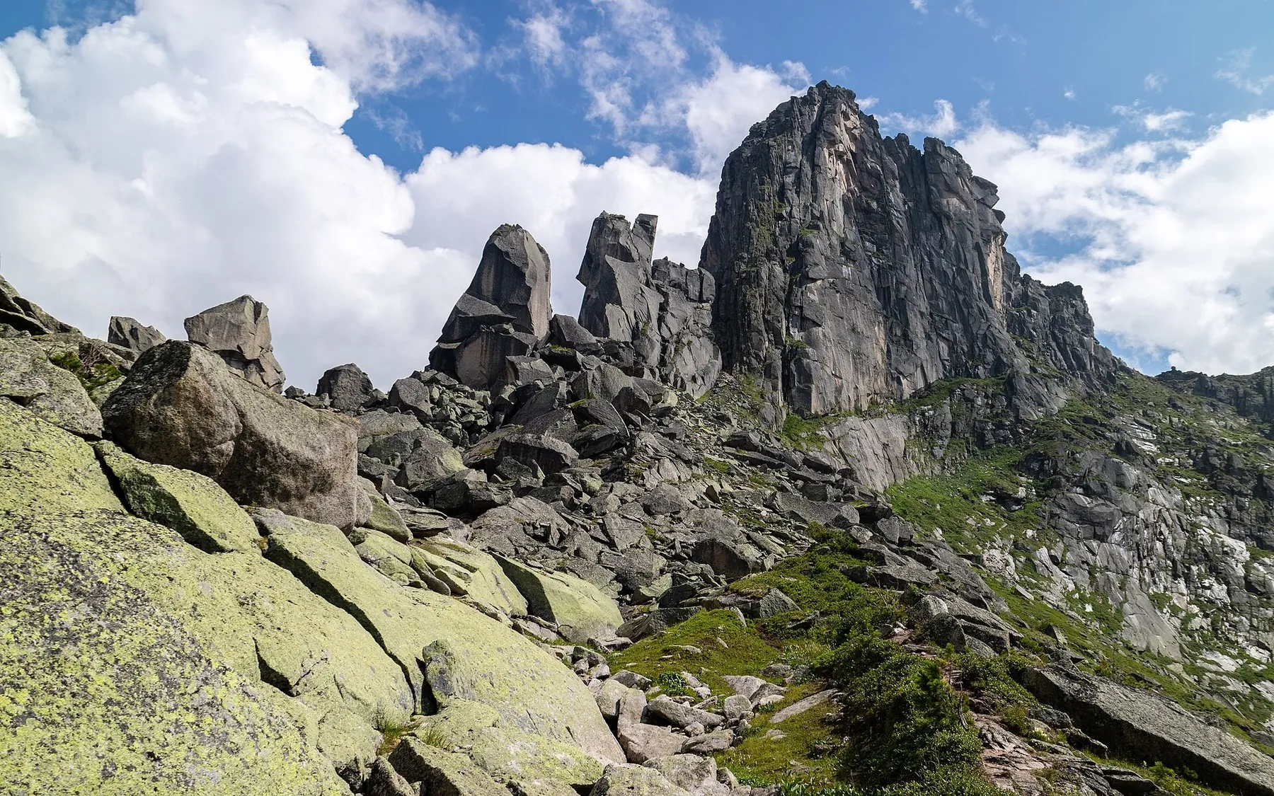
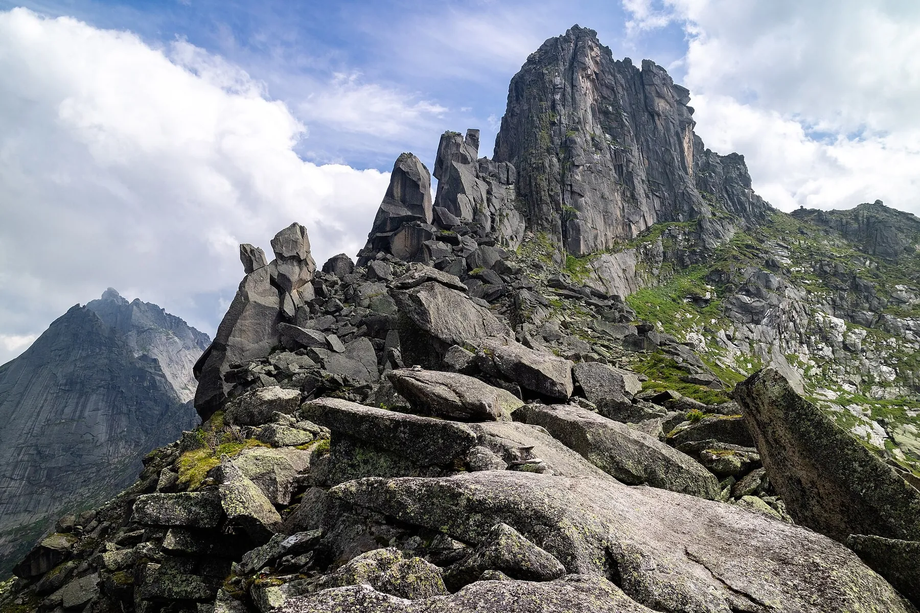
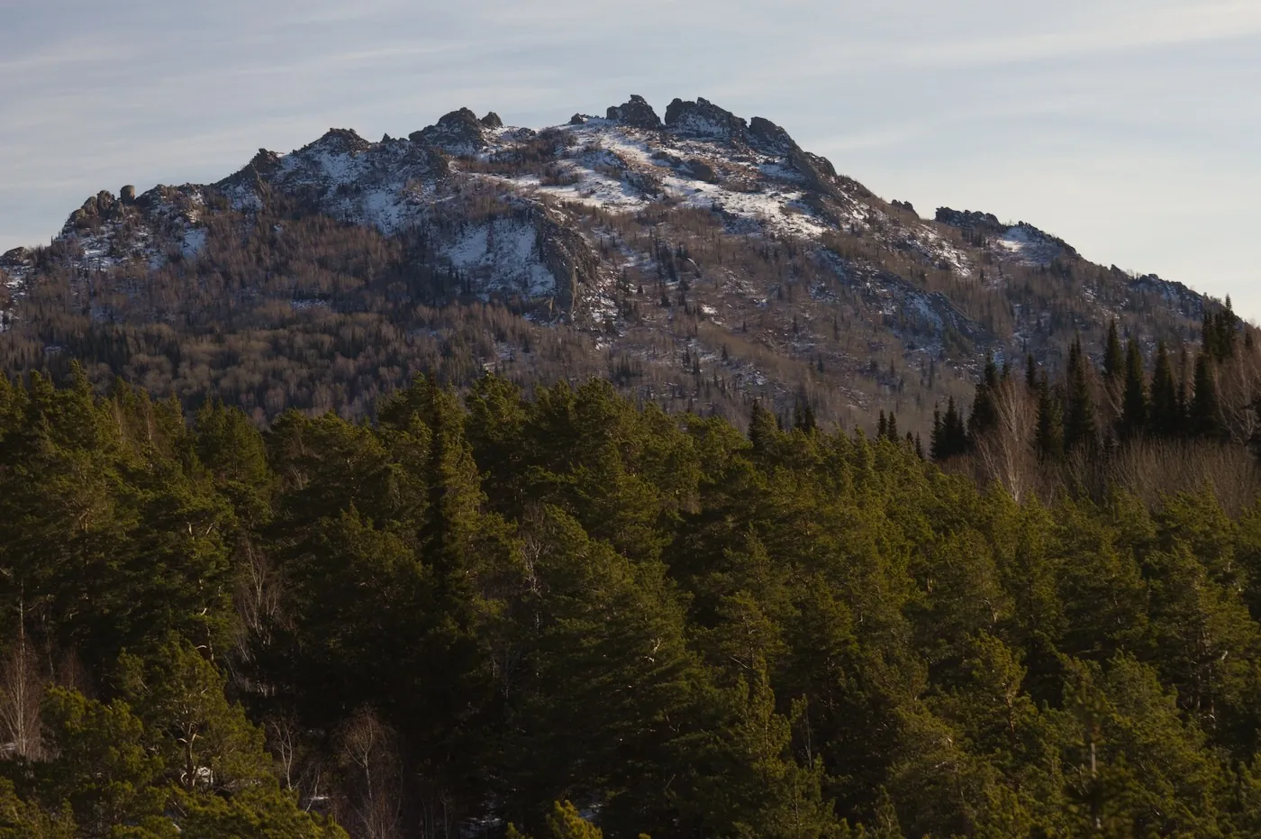
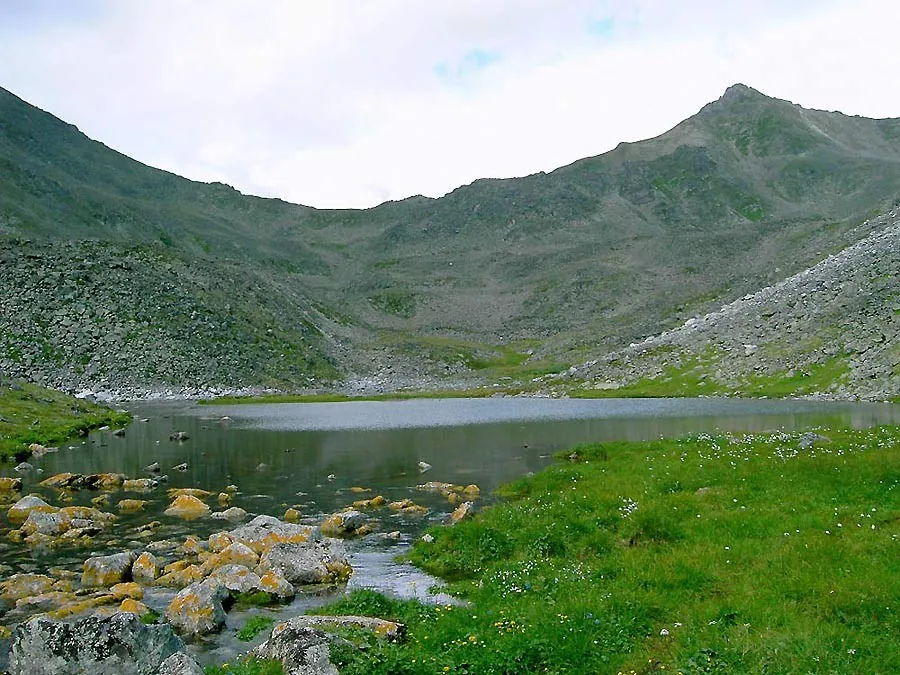
Travel from the camps near Svetloe to Zolotarnoye and climb Pikantny from its southern side. The lake’s bank and pass saddle offer different mountain experiences during one excursion.
Маршруты с подготовленным описанием, сложностью, покрытием и планированием визита.
Travel from the camps near Svetloe to Zolotarnoye and climb Pikantny from its southern side. The lake’s bank and pass saddle offer different mountain experiences during one excursion.
Visit Zolotarnoye, Zelyony and Pikantny during one mountain journey with returns to familiar lake approaches. Explore different saddles without adding Dinosaur Peak’s ascent.
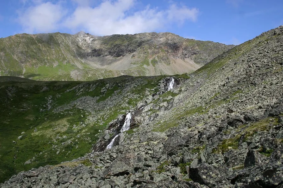
Link Marble Waterfall and Lake with a definite saddle, a named rocky field and two separate upper lakes. The contrast between wooded Tushkanchik and Minotaur’s Labyrinth gives this passage a distinct character.
Climb the specific Lower Buiba valley towards Tushkanchik Pass. Woodland paths and the open pass side show a gradual change in mountain surroundings during a distinct approach.
The recorded line is a 10.69 km point-to-point walking route, with mapped viewpoints occur along the way. Strong mountain relief: 625 m of total ascent over 10.69 km. Estimated moving time is about 4.2 hours; add time for pauses and navigation.
A woodland spring and an exposed granite summit give this ascent two distinct landmarks. The most memorable change comes near the top, when the trees finally open onto the broad foothills of the Kolyvan area.
Walk from Edigan towards Balykcha through Tamanel, Shtativ, Uykaratash and the eastern passes of Route 77. The attraction lies in a sustained journey through changing valleys and a chain of named crossings.
Reach a specific rock summit above wooded slopes and explore its upper ground. It suits walkers interested in a rocky mountain destination who can arrange both woodland approaches independently.
After reopening, choose a coast with its own character: Bolshiye Koty memorials, Malaya Kadilnaya valley, Babushka Bay’s sand or Peschanaya’s exposed tree roots. The northern Akademik Shokalsky memorial recalls how seriously wind and water must be treated on Baikal.
For a change between two mountain sides through a clearly named pass. The approach reveals a grassy saddle and pale rock outcrops; the crest opens the other valley side before a different descent. Include the stage in an independently prepared upper Kyngarga journey, allowing time to observe the saddle and memorial respectfully.
Mapped viewpoints occur along the way along this 3.38 km point-to-point walking route. Rolling terrain: 60 m of total ascent over 3.38 km. Estimated moving time is about 1.2 hours; add time for pauses and navigation.
Link the shores of Akkem and Kucherla Lakes across Kara-Tyurek, make a separate visit to Yarlu Stone City and pause at the Kucherla Petroglyphs. This version explores both major valleys below Belukha.
The Yenisey bridge, Serebryany Klyuch Spring and waterfall among the boulders give this approach a varied sequence of real places. Starting in Cheremushki offers a fuller experience of the valley than beginning at the upper woodland junction. Make plans once the park confirms the direction is open.
Approach Akkem along the Oroktoy path through Lake Gyuldyayry, Tekelyu and Sarybel, visit Yarlu, then return across Kara-Tyurek towards the Kucherla Petroglyphs. A distinct lake-and-pass journey without the Kucherla lakeshore detour.
See the specific Saviour Tower, Resurrection Church, Holy Trinity Church and the House of Arts on Shishkov Street. The historic street section links different architectural sides of old Tomsk.
Experience the change from a lower wooded valley to Khamar-Daban’s steep slope and reach the Dance Floor for a view towards Taltsinsky. Idol clearing adds recognisable local history to this approach; continuing to the summit is unnecessary for an engaging mountain outing.
Connect Slyudyanka with an actual ascent of Chersky Peak, progressing from forest to the open summit. The peak is the reached destination of this variant.
Expect shore or waterside sections are recorded on the route on this 5.2 km point-to-point walking route. Rolling terrain: 63 m of total ascent over 5.2 km. Estimated moving time is about 1.6 hours; add time for pauses and navigation.
For a distinct change of valleys across a named pass. The Arkhut side faces into the mountains, while Three Decembrists Pass opens a long descent beside Kharimta. Experience open grassy slopes changing into riverside woodland and see the Tunkinsky Mountains from an independent mountain exit.
Watch Arshan change with height, from park sculptures and the veteran larch to the mountain outlook at Peak of Love. Returning along a familiar path gives you another chance to notice details missed on the way up.
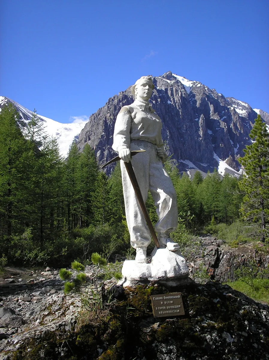
Walk a compact Aktru overview circuit through Sachki and the waterfall, see the Galina Afanasyeva Memorial and return to the camp. A satisfying first introduction to the valley when conditions are suitable.
Visit Kuyguk, Maly Akchan, Alla-Askyr and Kyrgyz within one mountain journey, crossing named passes between their valleys. Each lake gives the next stage its own purpose rather than leaving every reward until the final stop.
Compare Sullu-Boch and Suluayry, travel from Tekelu Stream towards the Argut and spend several days on the remote side of the Katun Range. Mountain-pass pauses and the river valley give the journey contrasting settings.
Expect shore or waterside sections are recorded on the route on this 2.89 km point-to-point walking route. Rolling terrain: 26 m of total ascent over 2.89 km. Estimated moving time is about 1.0 hours; add time for pauses and navigation.
Pick where to start
Share a trip