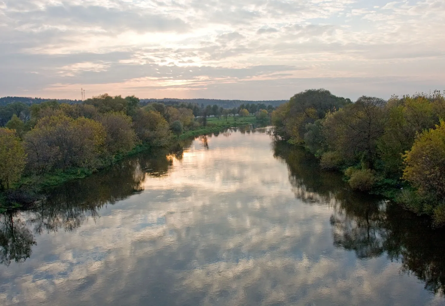


Radonezh — ZavetyIlicha
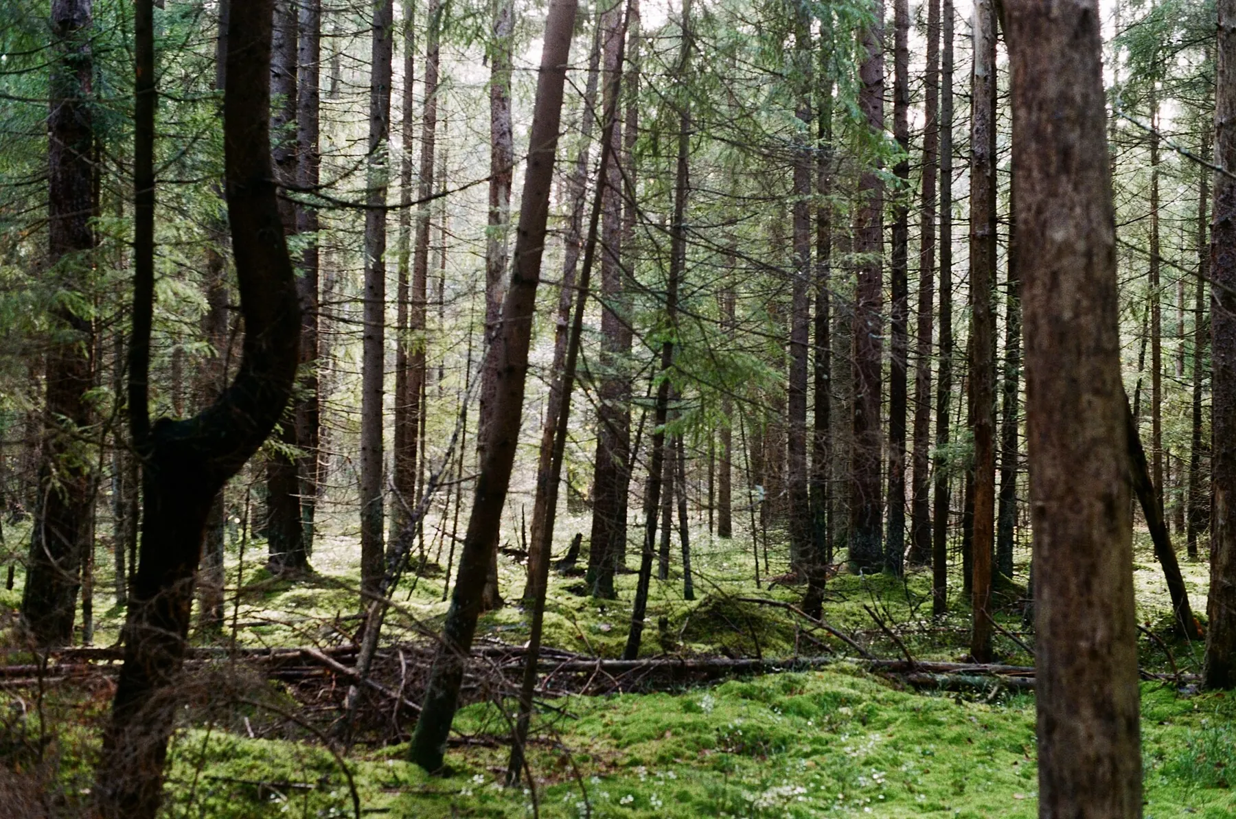
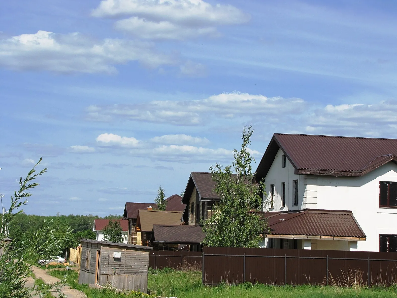
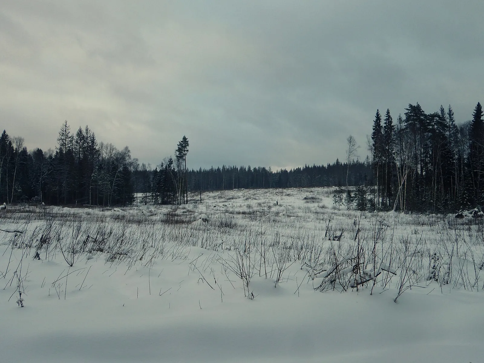
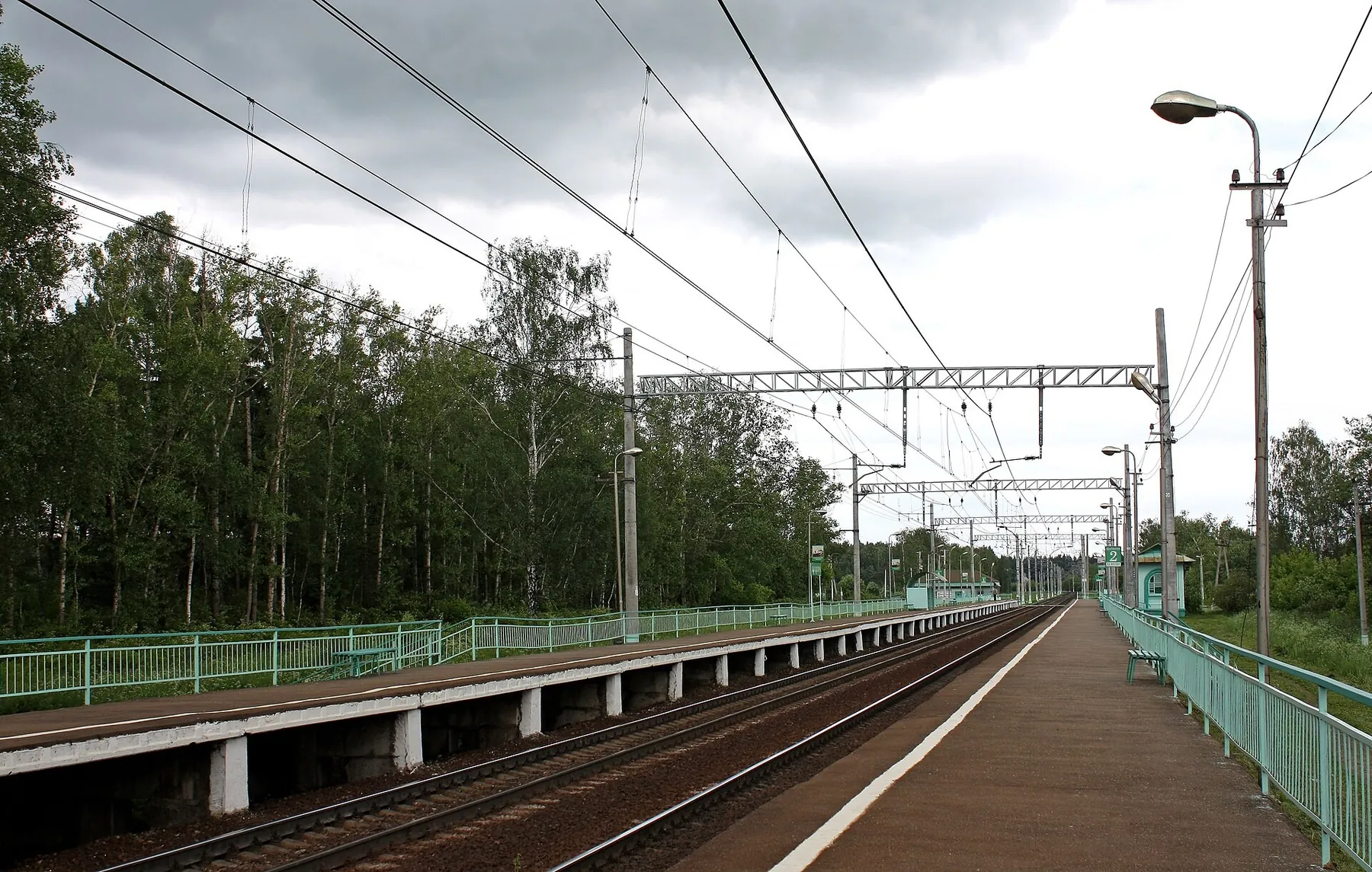
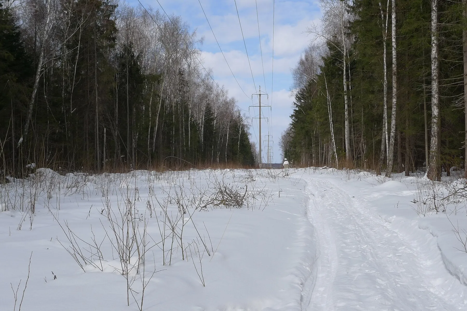
The point-to-point cross-country ski route “Radonezh — ZavetyIlicha” is approximately 53.3 km long, with about 770 m of a…
Route catalog
Routes in Центральная Россия: from short walks to full-day trips. Check the map, distance, and difficulty before starting.
Найдено 187 routes
Подготовленные: 187 · Community tracks: 0
The point-to-point cross-country ski route “Radonezh — ZavetyIlicha” is approximately 53.3 km long, with about 770 m of a…
The point-to-point cross-country ski route “Sanatornaya — Dachnoe” is approximately 55.7 km long, with about 840 m of asc…
The loop cycling route “Podolsk — cycling loop from Kuznechiki” is approximately 29.2 km long, with about 120 m of ascent…
The point-to-point hiking route “Kremlin and porcelain (Verbilki — Dmitrov)” is approximately 43.3 km long, with about 20…
The multi-section hiking route “Zelenograd — Mendeleevo” is approximately 18.0 km long, with about 60 m of ascent from th…
The multi-section hiking route “Ozery — Kolomna” is approximately 36.9 km long, with about 270 m of ascent from the GPX. …
The multi-section hiking route “Zelenograd — Mendeleevo” is approximately 13.7 km long. The route provides a ready-made l…
The multi-section hiking route “Panfilov's Heroes” is approximately 19.7 km long. The route focuses on the historical, cu…
The multi-section hiking route “Borovsk — Vereya” is approximately 50.2 km long. The route provides a ready-made line for…
The point-to-point running route “Krasnoarmeysk — Fryazino” is approximately 31.3 km long, with about 380 m of ascent fro…
The point-to-point running route “Podosinki — Zolotovo” is approximately 45.3 km long, with about 630 m of ascent from th…
The loop running route “Zvenigorod — Surmino” is approximately 50.2 km long, with about 280 m of ascent from the GPX. The…
The point-to-point running route “Polushkino — Karinskoe — Chastsovskaya” is approximately 40.5 km long, with about 620 m…
The point-to-point running route “Povarovka — Katuar” is approximately 37.9 km long, with about 340 m of ascent from the …
The point-to-point hiking route “Lvovskaya — Molodi” is approximately 19.6 km long, with about 70 m of ascent from the GP…
The multi-section hiking route “Voynovo — Zapolitsy” is approximately 56.3 km long, with about 150 m of ascent from the G…
The multi-section hiking route “Panfilov's Heroes” is approximately 20.3 km long, with about 100 m of ascent from the GPX…
The point-to-point running route “Ashukinskaya — Morozki” is approximately 39.8 km long, with about 260 m of ascent from …