TrailTrack routes

Маршруты с подготовленным описанием, сложностью, покрытием и планированием визита.

Found 1895 routes
Choose a route from the list or view routes on the map.
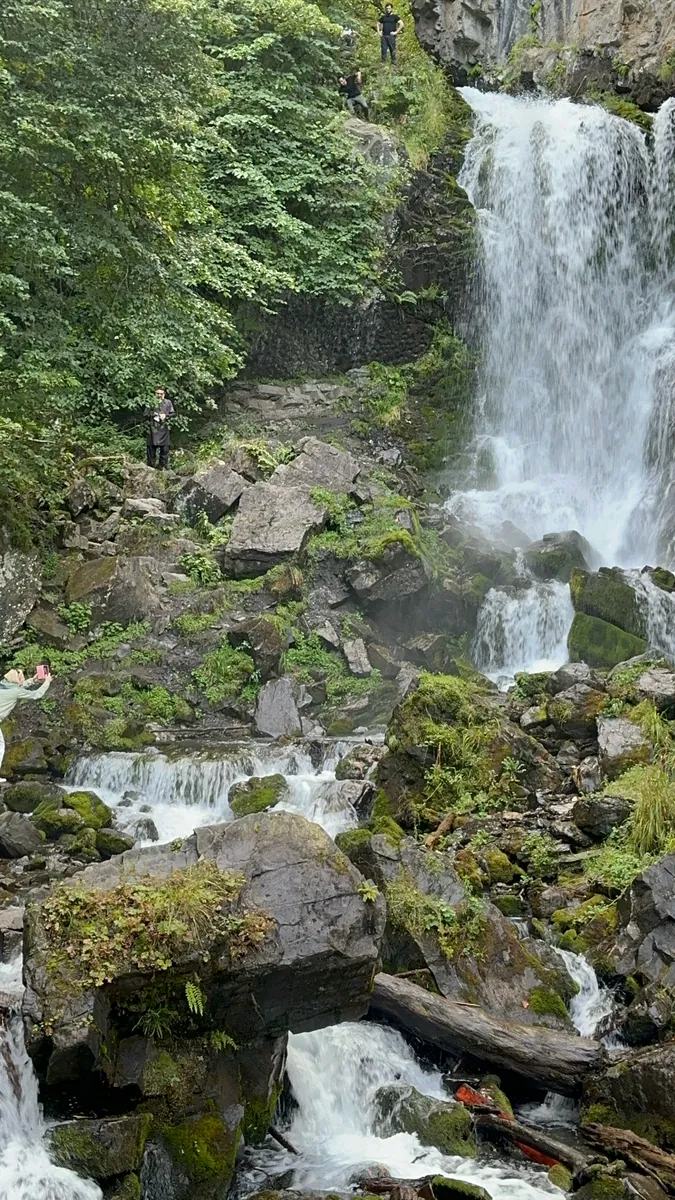
Fermersky Waterfall: Woodland Approach from Krasnaya Polyana
✓ TrailTrack

Fermersky Waterfall: Woodland Approach from Krasnaya Polyana

Hiking · One-day

Visit Fermersky Waterfall without trying to fit the entire mountain district into one outing. The approach leads to a particular cascade and offers a focused introduction to the woodland side of Krasnaya Polyana.

3.8 km 229 +705 m Moderate
✓ TrailTrack

Kranjska Gora to Jesenice: Valley Cycling and Liznjek Homestead

Bicycle · One-day

Combine the valley cycle direction with distinct exterior stops at Liznjek Homestead and the Jure Robič Memorial. Sava Dolinka and neighbouring watercourses connect the ride through several settlements.

30.2 km 228 +456 m Moderate
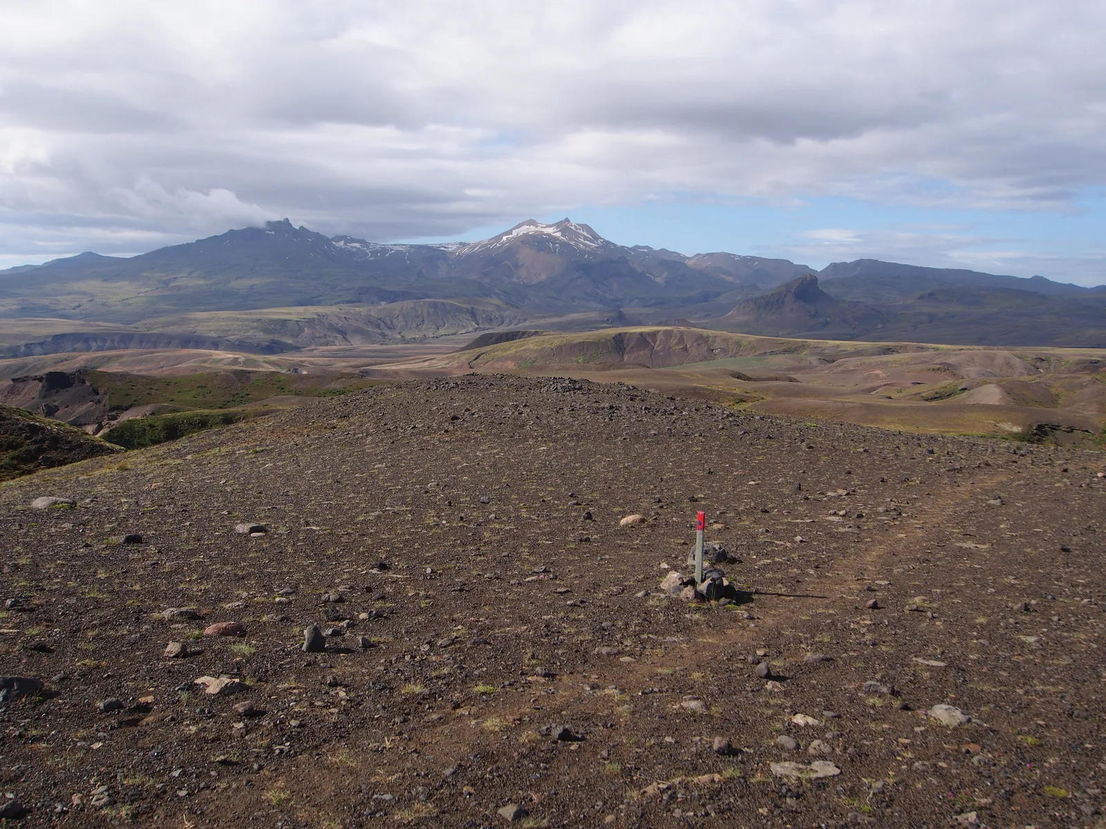
Langidalur and the Krossá Channels: Þórsmörk’s Eastern Circuit
✓ TrailTrack

Langidalur and the Krossá Channels: Þórsmörk’s Eastern Circuit

Hiking · One-day

Choose the circuit to explore the eastern side of Langidalur and spend time on its paths beyond the hut grounds. Krossá’s channels reveal a valley shaped by moving water. Skagfjörðsskáli Hut connects the setting with Iceland’s hiking tradition and provides a recognisable beginning and return point.

6.0 km 228 +350 m Moderate
Buførevegen from Botnen: mountain passage to the Reiseterlia steps with retracing
✓ TrailTrack

Buførevegen from Botnen: mountain passage to the Reiseterlia steps with retracing

Hiking · Multi-day

See both restored sides of Buførevegen: the masonry near Botnen and the Reiseterlia steps, joined by the high cattle-driving passage. Its history lies underfoot, while the space between the stairways remains an exposed mountain crossing.

32.9 km 227 +851 m Hard
Žabljak to Šarban through Velika Previja
✓ TrailTrack

Žabljak to Šarban through Velika Previja

Hiking · One-day

Velika Previja offers a passage below Durmitor’s principal summit onto the southern side of the massif. It suits walkers drawn to a continuous mountain journey between different valleys.

12.0 km 227 +1637 m Hard
Holzmatten via Rasthysi to Holewang: High Woodland Road above Grindelwald
✓ TrailTrack

Holzmatten via Rasthysi to Holewang: High Woodland Road above Grindelwald

Hiking · One-day

The woodland road links modest, specific stops: a stream, nature board and mountain restaurant. It reveals the hillside above Grindelwald at a quiet pace without a separate summit ascent.

2.4 km 227 +201 m Moderate
Ladin Farmhouses: the Extended La Villa–Oies–Sotrú Walk
✓ TrailTrack

Ladin Farmhouses: the Extended La Villa–Oies–Sotrú Walk

Hiking · One-day

Cianins introduces the arrangement of Ladin farms, while Oies Church adds local pilgrimage history. This extended version reveals both rural slopes and the lower village side, provided the upper-finish return is settled beforehand.

13.8 km 227 +856 m Moderate
✓ TrailTrack

Dolič, Luknja and Plemenice: The Extended Vrata Outing

Dolič · Hiking · Multi-day

Connect Luknja and rocky Plemenice with the Vrata valley side. The contrast between an upper stone passage, mountain saddle and river gives the demanding multi-day programme a distinct purpose.

27.2 km 227 +1909 m Hard
Cross Mountain and Gogia Fortress: Woodland Passages above Borjomi
✓ TrailTrack

Cross Mountain and Gogia Fortress: Woodland Passages above Borjomi

Hiking · One-day

Gogia gives the outing a historical objective, while Cross Mountain reveals Borjomi from above. Town passages between the woodland approaches add another perspective on the resort.

9.1 km 227 +955 m Moderate
Via Mariana from Sameiro: Peneda, Franqueira and Muxía Church
✓ TrailTrack

Via Mariana from Sameiro: Peneda, Franqueira and Muxía Church

Via Mariana from Sameiro: Peneda · Hiking · Multi-day

Visit pilgrimage sanctuaries on both sides of the border and compare their different settings: Bom Jesus’s stair ensemble, mountain Peneda and Galician Franqueira. Distinct historic crossings appear between them, including Prado and Ponte Maceira. This is also a cultural walking journey: linger over architecture and distribute stops according to your interests, arranging accommodation and visiting times beforehand.

359.7 km 226 +11730 m Hard
Pineta to Góriz Across Collado de Añisclo
✓ TrailTrack

Pineta to Góriz Across Collado de Añisclo

Hiking · Multi-day

Connect two mountain areas that seem separate from the road. Collado de Añisclo divides deep Pineta from the high surroundings of Góriz.

33.2 km 226 +2496 m Moderate
Mojstrana to Kot: Cycling via Kosmač Pass
✓ TrailTrack

Mojstrana to Kot: Cycling via Kosmač Pass

Bicycle · One-day

Ride from Mojstrana through Kosmač to Kot, following the change from settled streets to woodland valley. It provides a distinct outing without a high alpine ascent.

8.8 km 226 +436 m Moderate
Aibga Pass to Cirque-3 beneath Black Pyramid
✓ TrailTrack

Aibga Pass to Cirque-3 beneath Black Pyramid

Hiking · One-day

Choose this section to encounter Aibga at close quarters, moving from the pass into the interior of Cirque-3. It rewards walkers who enjoy noticing the shape of a mountain bowl and taking time on a hillside path.

1.3 km 226 +121 m Moderate
Marfino sections: the research town, estate approach and Fedoskino loop
✓ TrailTrack

Marfino sections: the research town, estate approach and Fedoskino loop

Moscow region · Hiking · One-day

Choose cultural and river sections of the Marfino direction for your walking day: the research town, outside estate approach or Fedoskino loop. The Razderikha and western Ucha add woodland surroundings; decide connections between your chosen parts before travelling.

28.1 km 225 +87 m Hard
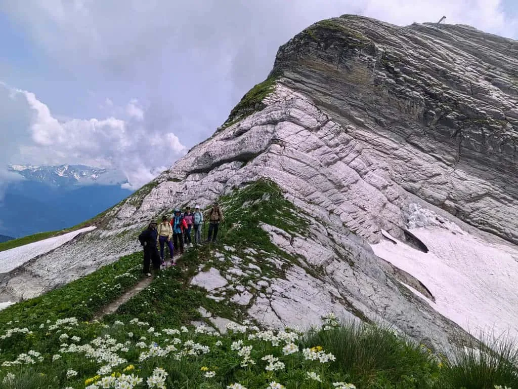
Innsbrucker Via Ferrata: Both Sections to Frau Hitt Rock
✓ TrailTrack

Innsbrucker Via Ferrata: Both Sections to Frau Hitt Rock

Hiking · One-day

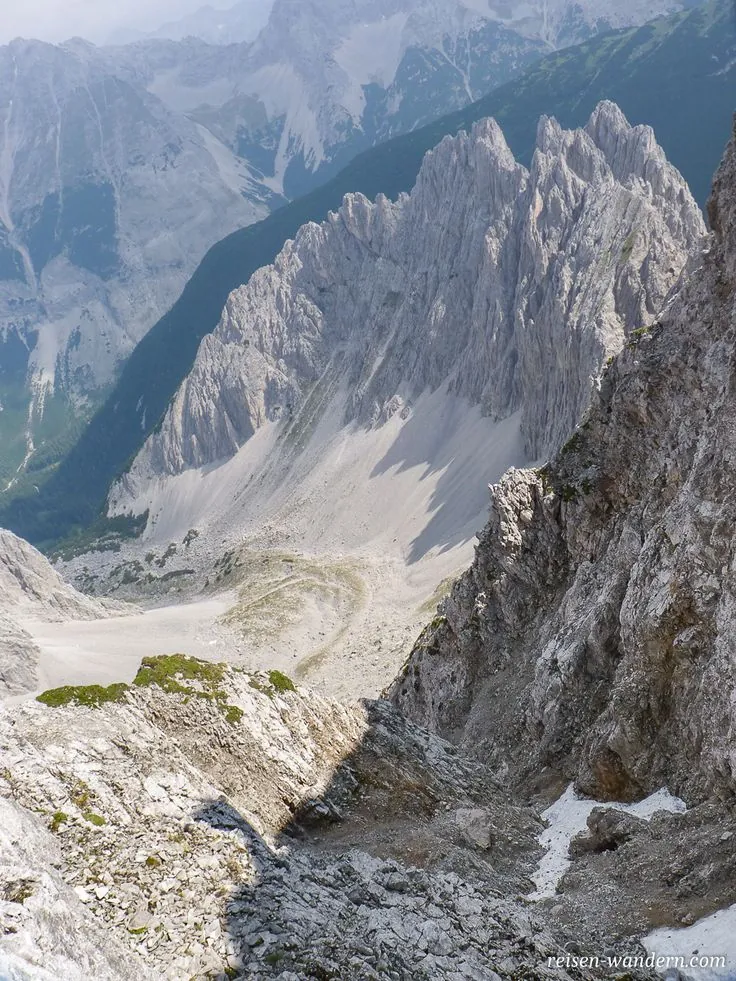
The sequence of reached summits gives a coherent ridge crossing above Innsbruck. Langer Sattel separates its sections, while the Frau Hitt rock figure marks the western area without an additional climb of the pinnacle.

3.2 km 225 +613 m Hard
Natterer-See-Weg: Woodland Ascent from Mentlberg
✓ TrailTrack

Natterer-See-Weg: Woodland Ascent from Mentlberg

Hiking · One-day

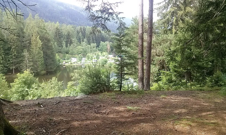
The short ascent trades a city day for woodland without a long mountain approach. It suits a calm walk over uneven ground followed by a return along the familiar direction.

1.2 km 225 +262 m Moderate
Gjendesheim to Glitterheim: Russvatnet and a retraced mountain passage
✓ TrailTrack

Gjendesheim to Glitterheim: Russvatnet and a retraced mountain passage

Hiking · Multi-day

Russvatnet, the Hestlægerhøe passage and the Veo valley reveal Jotunheimen beyond the famous Besseggen itinerary. The lake section and arrival at Glitterheim give this outing its own character.

38.5 km 225 +0 m Moderate
✓ TrailTrack

South from Alaró: The Bicycle Road towards Rural Santa Maria

Bicycle · One-day

Choose this short bicycle direction to leave Alaró for rural Santa Maria. Notice the Marranxa watercourse, whose appearance changes with the season. Read about Ses Fontanelles beforehand if its history interests you, and check site access separately. The plates found there belong to a museum collection; the countryside ride does not include viewing the finds themselves.

5.9 km 225 +47 m Easy
Lipanca to Viševnik: The Srenjski Pass Traverse
✓ TrailTrack

Lipanca to Viševnik: The Srenjski Pass Traverse

Hiking · One-day

Connect Lipanca, Srenjski Pass and Viševnik in one mountain traverse. The gradual change from wooded slopes to an open summit gives this version a distinct character.

5.6 km 225 +910 m Moderate
Llano de Ucanca to Boca Tauce: Plains and Lava Fronts below the Caldera Wall
✓ TrailTrack

Llano de Ucanca to Boca Tauce: Plains and Lava Fronts below the Caldera Wall

Hiking · One-day

Cross Llano de Ucanca below the western caldera wall and finish near Boca Tauce Viewpoint. Open space, lava fronts and a lower-path view of the volcanic massif shape the experience.

4.8 km 224 +0 m Easy
Gleirschklamm and Three Gorge Viewpoints via Scharnitzer Alm
✓ TrailTrack

Gleirschklamm and Three Gorge Viewpoints via Scharnitzer Alm

Hiking · One-day

See the gorge itself and three distinct named river-valley viewpoints. Close water, forest passages and the exterior alpine pause provide a varied outing for experienced walkers who can arrange independent access.

13.1 km 224 +1517 m Hard
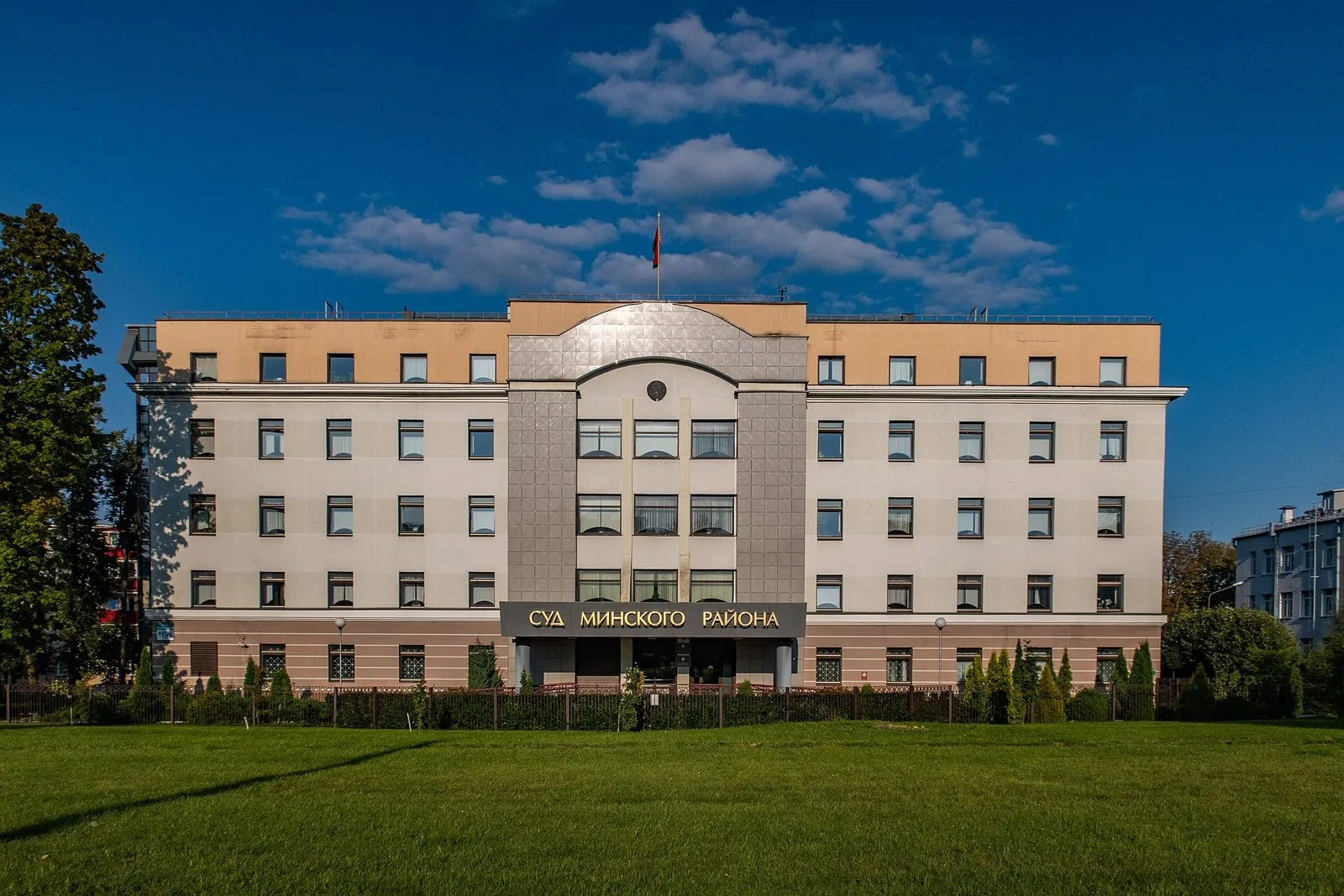
Minsk Second Cycleway
✓ TrailTrack

Minsk Second Cycleway

Bicycle · One-day

The interest of this 1.99 km point-to-point cycling route lies in travelling the distance itself: its gradients, surface and rhythm. Gentle terrain: 14 m of total ascent over 1.99 km. Estimated moving time is about 0.4 hours; add time for pauses and navigation.

2.0 km 223 +14 m Easy
Holewang to the Upper Aellfluh Junction: Grindelwald Woodland Passage
✓ TrailTrack

Holewang to the Upper Aellfluh Junction: Grindelwald Woodland Passage

Hiking · One-day

The passage reveals the woodland side of a familiar mountain resort. It suits a day alternating high meadows with quiet trees and an independently chosen continuation.

1.7 km 223 +96 m Moderate
Arztalalm via Seeblesboden to Seeblesspitze Summit
✓ TrailTrack

Arztalalm via Seeblesboden to Seeblesspitze Summit

Hiking · One-day

Seeblesspitze provides a particular summit destination above the Arztal pastures. The sequence from the working valley through Seeblesboden to the cross suits experienced mountain walkers prepared to allow separately for the complete descent.

3.9 km 223 +798 m Moderate
Back Page 14 of 79 Next