TrailTrack routes

Маршруты с подготовленным описанием, сложностью, покрытием и планированием визита.

Found 1895 routes
Choose a route from the list or view routes on the map.
Zhombolok Rapids and Oka Reaches: Ending before Dandar-Gol
✓ TrailTrack

Zhombolok Rapids and Oka Reaches: Ending before Dandar-Gol

Boat · Multi-day

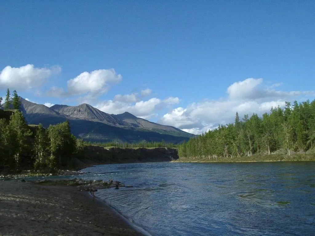
Explore the Zhombolok through its own landmarks: the S-shaped rapids, Billiard, Vint, Catapult and Touch Me Not. Rocky passages give way to channels near Sharza and then to the Oka and its Sayan tributaries. Shore inspections make the river’s shape easier to understand while leaving room to choose portages that fit the group.

39.3 km 104 +20 m Hard
Bay Sinichka: Baklaniy Kamen: A Relaxed Day on the Coastal Trail
✓ TrailTrack

Bay Sinichka: Baklaniy Kamen: A Relaxed Day on the Coastal Trail

Hiking · One-day

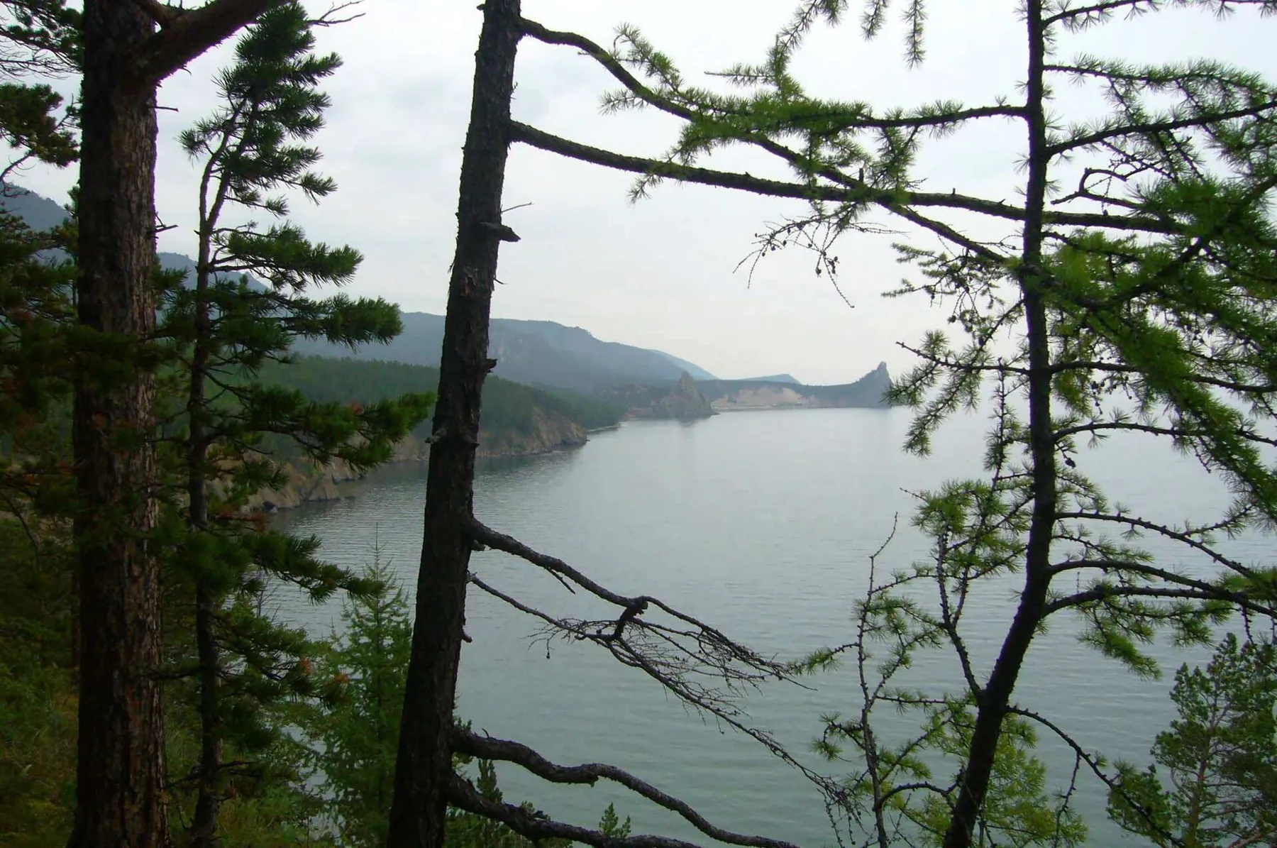
The recorded line is a 2.35 km point-to-point walking route, with shore or waterside sections are recorded on the route. Noticeable climbing: 87 m of total ascent over 2.35 km. Estimated moving time is about 1.0 hours; add time for pauses and navigation.

2.4 km 104 +87 m Easy
Irkutsk-Khuzhir
✓ TrailTrack

Irkutsk-Khuzhir

Hiking · Multi-day

The recorded line is a 293.46 km point-to-point walking route, with mapped viewpoints occur along the way. Rolling terrain: 2838 m of total ascent over 293.46 km. Surface: asphalt plus gravel. Allow at least 13 days and verify overnight and exit options independently.

293.5 km 104 +2838 m Hard
Kurma to Severobaikalsk on Skis: Western Capes to the Northern Beach
✓ TrailTrack

Kurma to Severobaikalsk on Skis: Western Capes to the Northern Beach

Skiing · Multi-day

For a succession of western shore landscapes rarely combined in one journey. The lake side lets you compare Ryty, the Solontsovy and Kedrovy capes, watch Elokhin and Kotelnikovsky emerge, and see Ludar towards the northern finish. The plan suits people interested in changing coastal landmarks and independent expedition preparation.

340.5 km 104 +479 m Hard
Zavety–Beklemishevo: A Ski Project towards Radonezh Halt
✓ TrailTrack

Zavety–Beklemishevo: A Ski Project towards Radonezh Halt

Moscow region · Skiing · One-day

The project’s interest lies in a long winter passage from residential Zavety towards the woodland around Beklemishevo. Saint Panteleimon Church provides an opening stop before a day devoted to independent skiing, once access has been established.

55.0 km 104 +825 m Hard
Radonezh to Zavety Ilyicha: the ski-arc proposal through Yakhroma and Pestovskoye
✓ TrailTrack

Radonezh to Zavety Ilyicha: the ski-arc proposal through Yakhroma and Pestovskoye

Moscow region · Skiing · Multi-day

Connect the Radonezh side with Pestovskoye Reservoir through a long western arc and the Yakhroma, then finish near Zavety Ilyicha. This substantial ski proposal has two distinct water locations: a river passage and a separate ice-dependent Pestovskoye section.

53.3 km 104 +819 m Hard
Yakhroma to Iksha: the western Klubish return and northern woodland bypass
✓ TrailTrack

Yakhroma to Iksha: the western Klubish return and northern woodland bypass

Moscow region · Run · One-day

Connect the Yakhroma and Iksha sides through the specific Klubish return and northern woodland bypass. This version is interesting for its departure from the former straight clearing before coming back towards the railway side.

33.6 km 104 +476 m Hard
Ashukinskaya to Morozki: A Run Between Two Railway Lines
✓ TrailTrack

Ashukinskaya to Morozki: A Run Between Two Railway Lines

Moscow region · Run · One-day

Connecting two railway lines makes this an independent journey through the countryside north of Moscow. The Ashukino chapel and an optional separate Muranovo visit bring local history into a long running day.

39.8 km 104 +281 m Hard
Tsey and the Ardon valley: separate outings from Buron to Tamisk
✓ TrailTrack

Tsey and the Ardon valley: separate outings from Buron to Tamisk

Caucasus · Hiking · Multi-day

Discover Afsati and the Horn on the Cliff near Buron, meet the Skazdon and continue beside the Ardon towards Tamisk. Separate outings allow each valley its own time.

67.8 km 103 +2087 m Hard
Uruchye: Central Minsk: Arno
✓ TrailTrack

Uruchye: Central Minsk: Arno

Hiking · Multi-day

The recorded line is a 155.72 km point-to-point walking route, with woodland is one of the route's main features. Gentle terrain: 138 m of total ascent over 155.72 km. Surface: asphalt. Allow at least 7 days and verify overnight and exit options independently.

155.7 km 103 +138 m Hard
Energetik: Sula via Livanka and Bezdonka
✓ TrailTrack

Energetik: Sula via Livanka and Bezdonka

Красивое заболоченое озеро · Hiking · Multi-day

The track links Lake Bezdonnoye into one continuous outdoor outing. Forest sections: woodland is one of the route's main features. Gentle terrain: 64 m of total ascent over 73 km. Surface: asphalt plus improved surface.

73.0 km 103 +64 m Hard
Western Lida: A Woodland Loop and Separate Memorial Approaches
✓ TrailTrack

Western Lida: A Woodland Loop and Separate Memorial Approaches

Bicycle · One-day

Visit a place of remembrance on Lida’s western edge and explore the main loop’s quieter woodland side. The memorial stop gives the outing substance without adding city monuments beyond the actual passage.

7.0 km 103 +14 m Easy
Fleche from Slonim to Zhodino: a Cycling Journey past Ruzhany’s Holy Trinity Church
✓ TrailTrack

Fleche from Slonim to Zhodino: a Cycling Journey past Ruzhany’s Holy Trinity Church

КП7(593км) · Bicycle · Multi-day

Create an independent cycle tour from the Slonim side through Holy Trinity Church in Ruzhany to the randonneurs’ gathering place in Zhodino. A historical church stop and a modern event landmark offer contrasting encounters with Belarusian road culture.

592.6 km 103 +234 m Hard
Kodar: western passes and an eastern ski exit
✓ TrailTrack

Kodar: western passes and an eastern ski exit

Skiing · Multi-day

Travel from the western pass group into eastern valleys and the real Orto-Yuryakh canyon. Mountain settings change at named saddles, while the icy river conclusion provides its own destination.

164.4 km 103 +6934 m Hard
Kodar: western ski circuit with an Orto-Yuryakh exit
✓ TrailTrack

Kodar: western ski circuit with an Orto-Yuryakh exit

01.03 · Skiing · Multi-day

Join Kodar’s western pass valleys with its eastern river canyon during a substantial ski expedition. Real named saddles and icy Orto-Yuryakh offer varied mountain destinations for an experienced group.

164.2 km 103 +6796 m Hard
Voinovo to Zapolitsy: the summer passage via Ostrets and Kalinov Bridge
✓ TrailTrack

Voinovo to Zapolitsy: the summer passage via Ostrets and Kalinov Bridge

Moscow region · Hiking · Multi-day

Experience changing Meshchera settings: Ostrets’s lakeside road, pine rises of protected woodland, Kalinov Bridge and the church at Stary Pokrov. Ananyeva Hill adds another turn of the terrain before the southern continuation. Different starting and finishing halts let you follow this independent summer version through.

56.3 km 103 +195 m Moderate
Nekrasovskaya to Iksha: Nerskoye woods and the southern Klubish crossing
✓ TrailTrack

Nekrasovskaya to Iksha: Nerskoye woods and the southern Klubish crossing

Moscow region · Skiing · One-day

Leave the railway edge of Nekrasovskaya for the protected Nerskoye woods, then reach the Klubish and continue towards Iksha. The southern river location gives this version its own shape: after the northward woodland passage, the journey gathers towards its eastern ending.

24.8 km 103 +312 m Hard
Archival Sotnya 2016: the western sweep and northern return to Morozki
✓ TrailTrack

Archival Sotnya 2016: the western sweep and northern return to Morozki

Moscow region · Skiing · One-day

Explore the 2016 ski idea in which a far western arc and a return through the Yakhroma meet at Morozki. For an independent visit, select specific locations with checked access: the historic direction’s unity does not establish present passability.

107.2 km 103 +1126 m Hard
Nekrasovskaya to Zavety Ilyicha: the Pestovskoye ski bend and Uchinskoye side
✓ TrailTrack

Nekrasovskaya to Zavety Ilyicha: the Pestovskoye ski bend and Uchinskoye side

Moscow region · Skiing · One-day

See two Moscow-region reservoirs in sequence on a winter journey: the northern Pestovskoye turn and the Uchinskoye shore side before Zavety. Railway endings let you organise travel without returning through the same woodland sections.

33.2 km 103 +158 m Hard
Kalistovo to Radonezh: the western ski loop beside the Yakhroma
✓ TrailTrack

Kalistovo to Radonezh: the western ski loop beside the Yakhroma

Moscow region · Skiing · One-day

Follow a western woodland loop returning beside the Yakhroma, then finish the ski day at another halt on the Yaroslavsky direction. Long woodland movement, the Gerasimikha riverside area and an eastern continuation towards Radonezh give this version its own sequence of experiences.

31.1 km 103 +459 m Hard
Polushkino to Chastsovskaya via Setunka: The Road Running Option towards Agafonovo
✓ TrailTrack

Polushkino to Chastsovskaya via Setunka: The Road Running Option towards Agafonovo

Moscow region · Run · One-day

Run the western rural roads from Polushkino through Agafonovo and Troitskoye towards Setunka, then return by train from the Chastsovskaya side. Several settlements, a war memorial and the small Setun give the day specific places. The option suits runners accustomed to long country outings after the river crossing and flood-prone tunnel are checked.

28.7 km 103 +157 m Hard
Zhilyovo to Avangard through Elinka Woodland and Kamenka
✓ TrailTrack

Zhilyovo to Avangard through Elinka Woodland and Kamenka

Moscow region · Run · One-day

Explore southern Moscow Region’s woodland on a club direction between two railway lines. The Lopasnya, the Elinka area and Kamenka’s history marker give it a specific geography and story; completing it depends on checking present crossings and access.

50.9 km 103 +271 m Hard
Katuar to Iksha: the western loop and northern Klubish crossing
✓ TrailTrack

Katuar to Iksha: the western loop and northern Klubish crossing

Moscow region · Run · One-day

Choose Katuar–Iksha’s western loop and encounter the Klubish at the specific northern crossing. This version explores another river side with independent arrangements between the two Savyolovsky endings.

21.8 km 103 +76 m Moderate
Skolkovo to Strogino in Winter: Beer, Agregatnaya and High Glades
✓ TrailTrack

Skolkovo to Strogino in Winter: Beer, Agregatnaya and High Glades

Moscow region · Run · One-day

Run through Romashkovo Forest in winter, linking Beer Glade, Agregatnaya Glade and High Glade in sequence. This version has a practical purpose: its woodland diversions suit the snowy season, while rail and metro make different departure and finishing places workable.

17.1 km 103 +272 m Moderate
Back Page 38 of 79 Next