TrailTrack routes

Маршруты с подготовленным описанием, сложностью, покрытием и планированием визита.

Found 1895 routes
Choose a route from the list or view routes on the map.
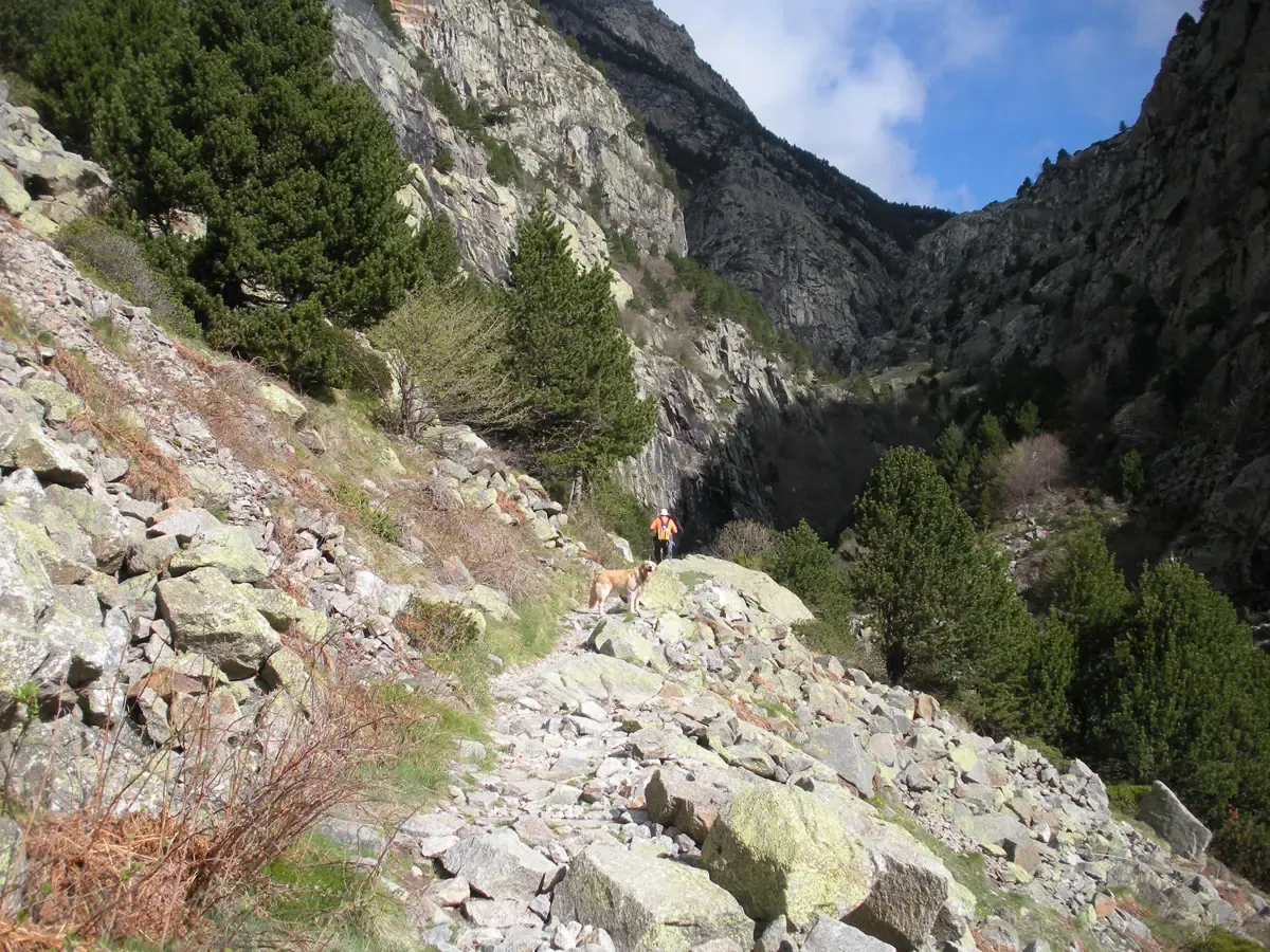
Keiva from the Krasnaya Polyana holiday base: a wooded climb to the cascade
✓ TrailTrack

Keiva from the Krasnaya Polyana holiday base: a wooded climb to the cascade

Hiking · One-day

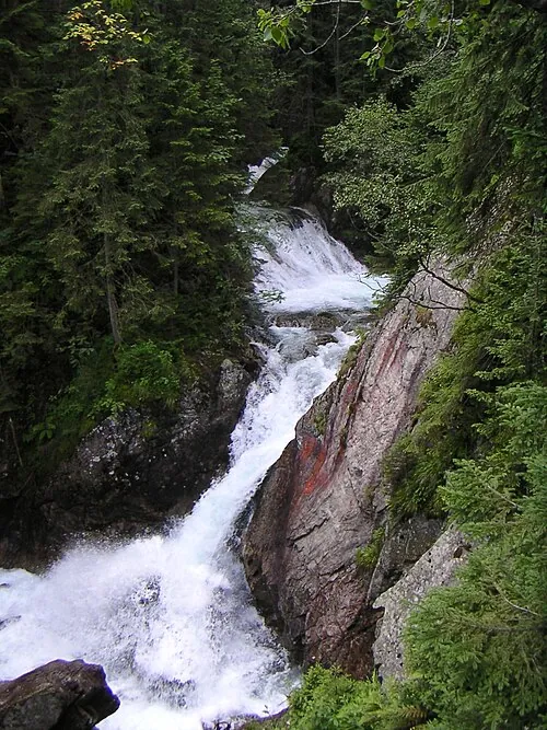
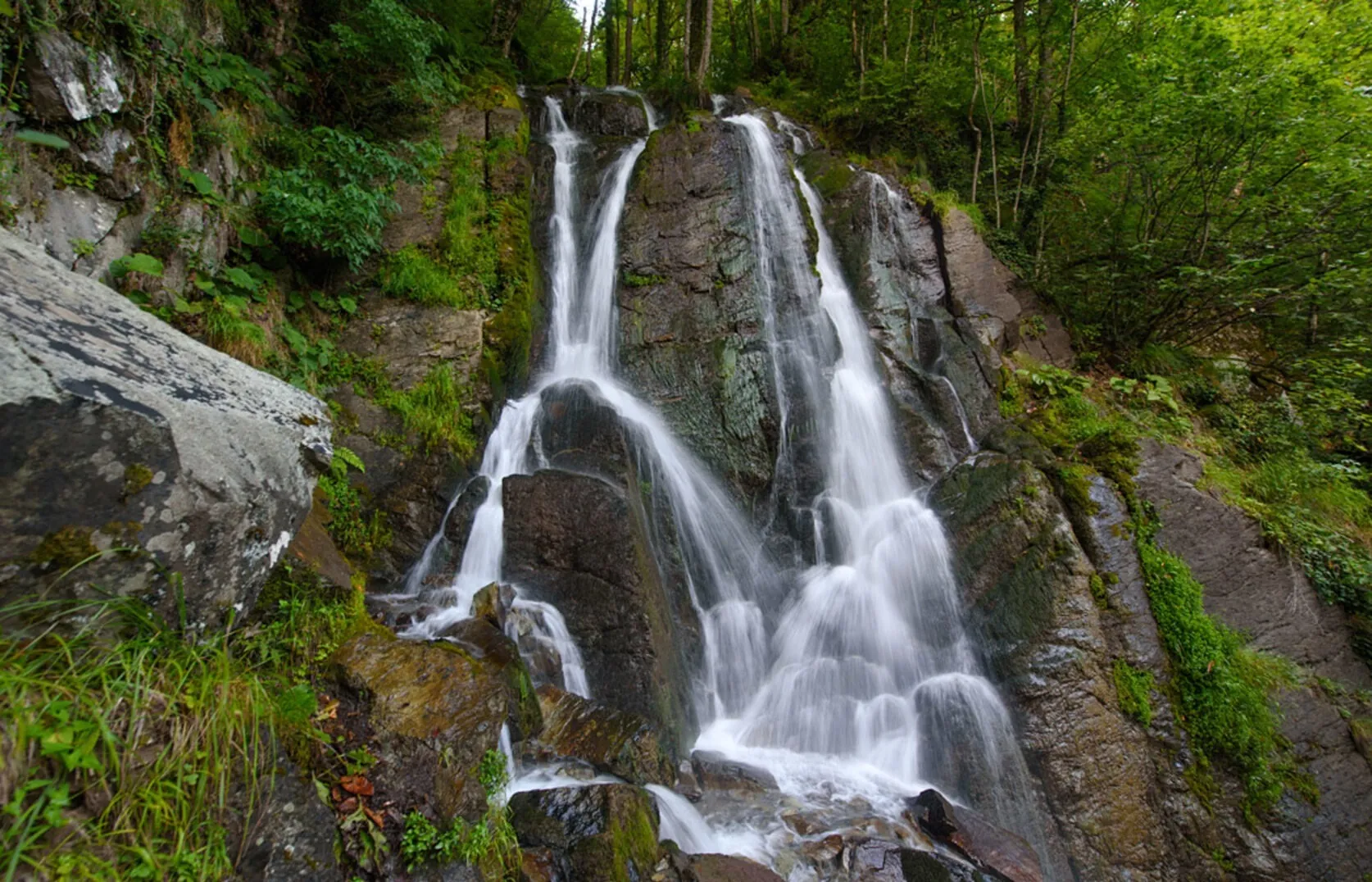
Keiva offers a real woodland waterfall close to the village. Falling water, damp rock and its forest setting give this short outing a clear and memorable destination.

2.4 km 270 +422 m Moderate
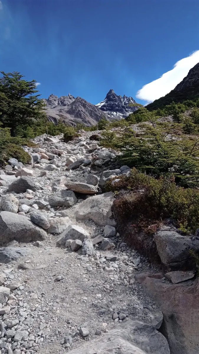
Trolltunga from Skjeggedal: walking approach through Hestaflåene
✓ TrailTrack

Trolltunga from Skjeggedal: walking approach through Hestaflåene

Hiking · One-day

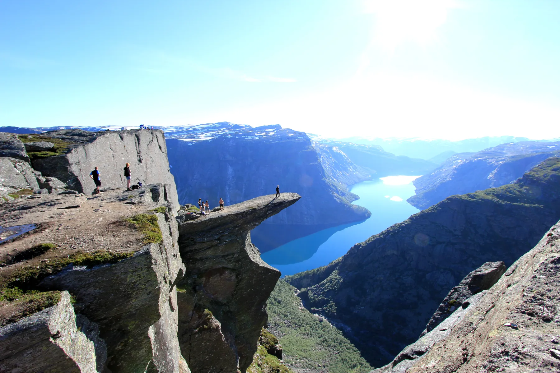
Reach Trolltunga itself and feel the scale of its view over Ringedalsvatnet. Hestaflåene adds a quiet piece of grazing history to the severe rocky high ground along the way.

10.7 km 269 +1225 m Hard
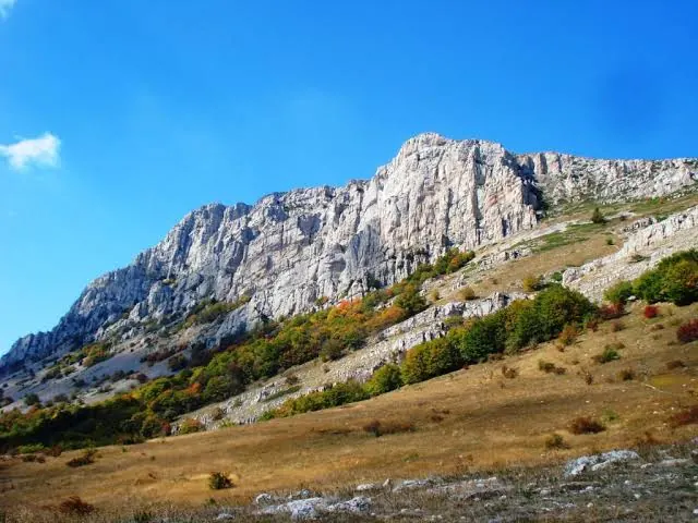
Eklizi-Burun and a crossing to Chatyr-Dag’s eastern edge
✓ TrailTrack

Eklizi-Burun and a crossing to Chatyr-Dag’s eastern edge

Crimea · Hiking · One-day

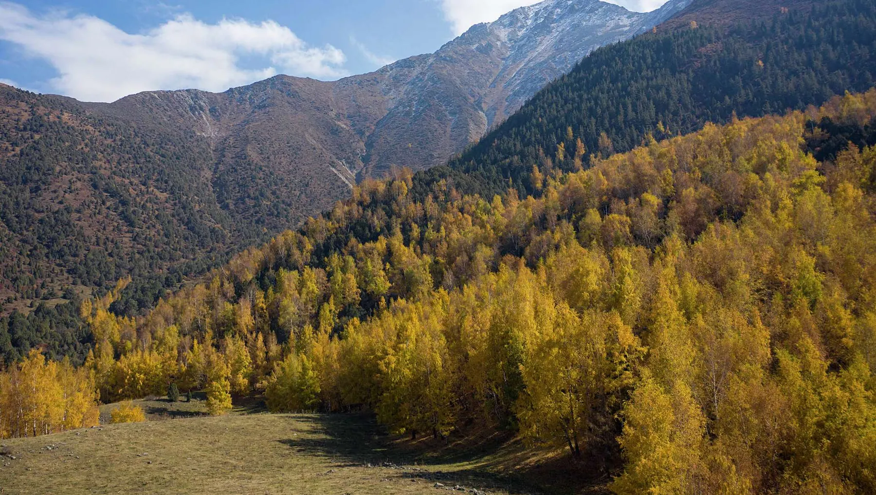
Visit Chatyr-Dag’s western summit and cross its upper plateau towards the eastern side. Open space, rocky terrain and Eklizi-Burun’s panorama provide the main experience.

6.6 km 269 +145 m Moderate
Montaña Limón: West along the Southern Slope to Cumbrita Fría
✓ TrailTrack

Montaña Limón: West along the Southern Slope to Cumbrita Fría

Hiking · One-day

Walk Montaña Limón’s southern side along an old link between two valleys and reach Cumbrita Fría. Discover the island’s mountain-path history without adding an independent ascent.

1.8 km 269 +0 m Easy
✓ TrailTrack

Galbena Ridge into Upper Zbuciumatu

Hiking · One-day

Galbena gives this descent its own focus: examine the mountain bowl from the ridge side before entering the upper valley.

2.8 km 269 +40 m Moderate
Nature Trail Pushchino
✓ TrailTrack

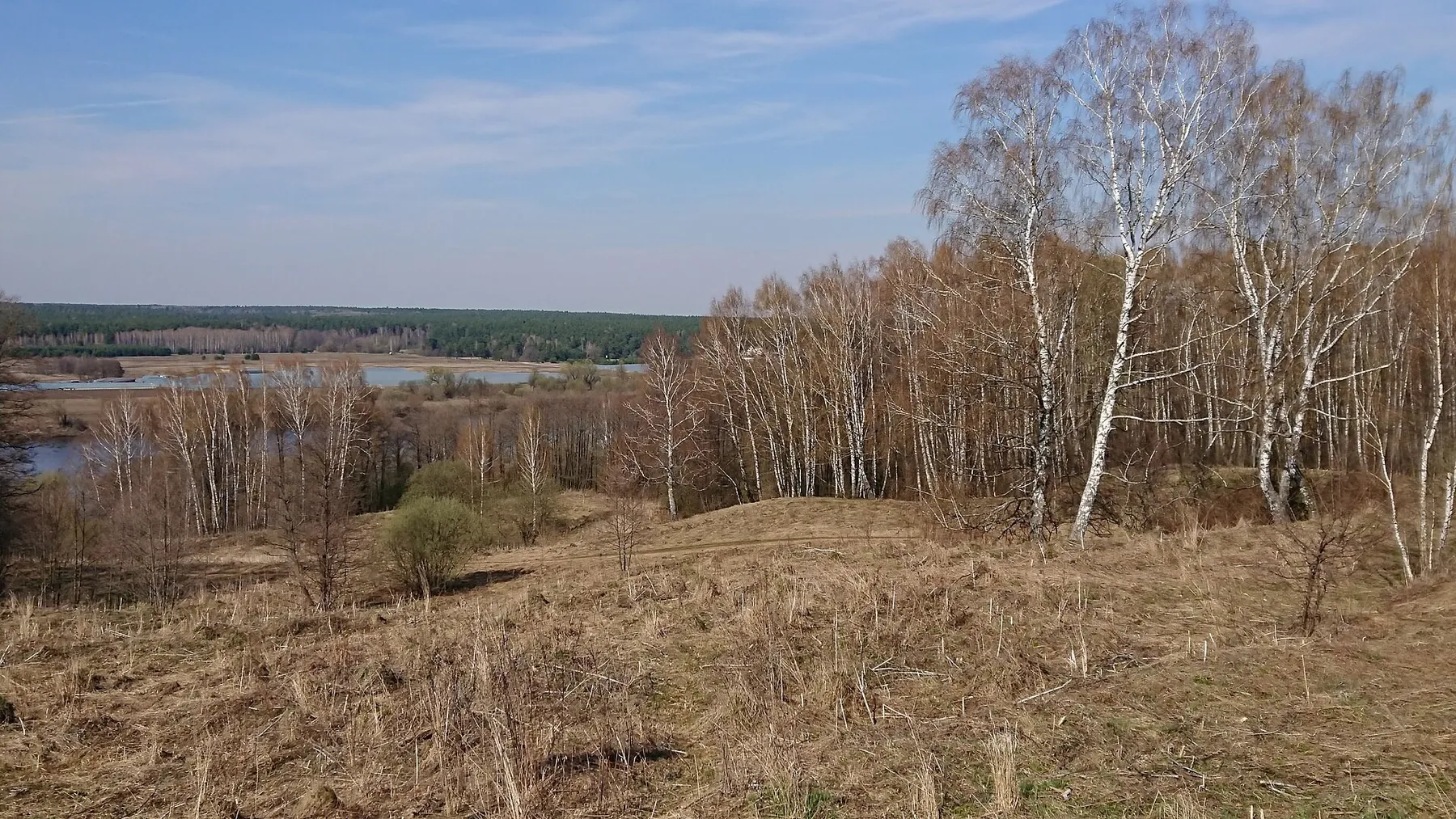
Nature Trail Pushchino

Moscow region · Hiking · One-day

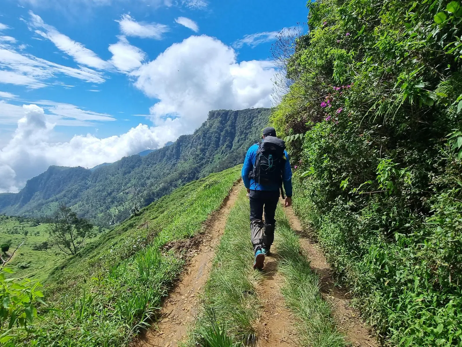
Expect woodland is one of the route's main features on this 2.39 km point-to-point walking route. Noticeable climbing: 67 m of total ascent over 2.39 km. Surface: mud and grass plus natural ground. Estimated moving time is about 0.9 hours; add time for pauses and navigation.

2.4 km 268 +67 m Easy
Hoverla from Zaroslyak on the Green Path
✓ TrailTrack

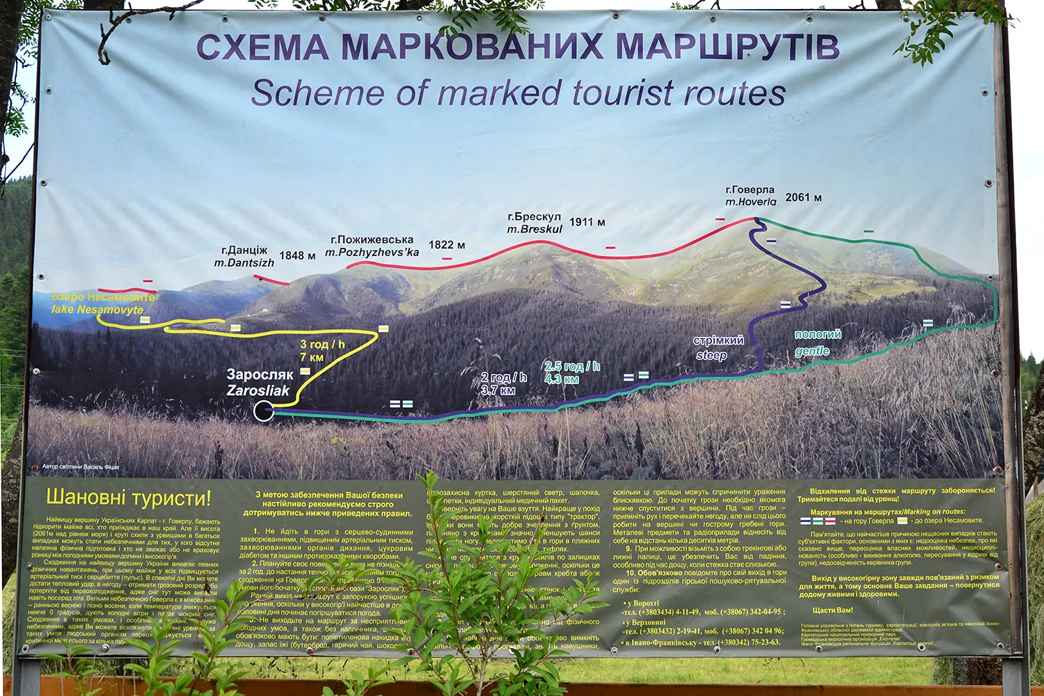
Hoverla from Zaroslyak on the Green Path

Hiking · One-day

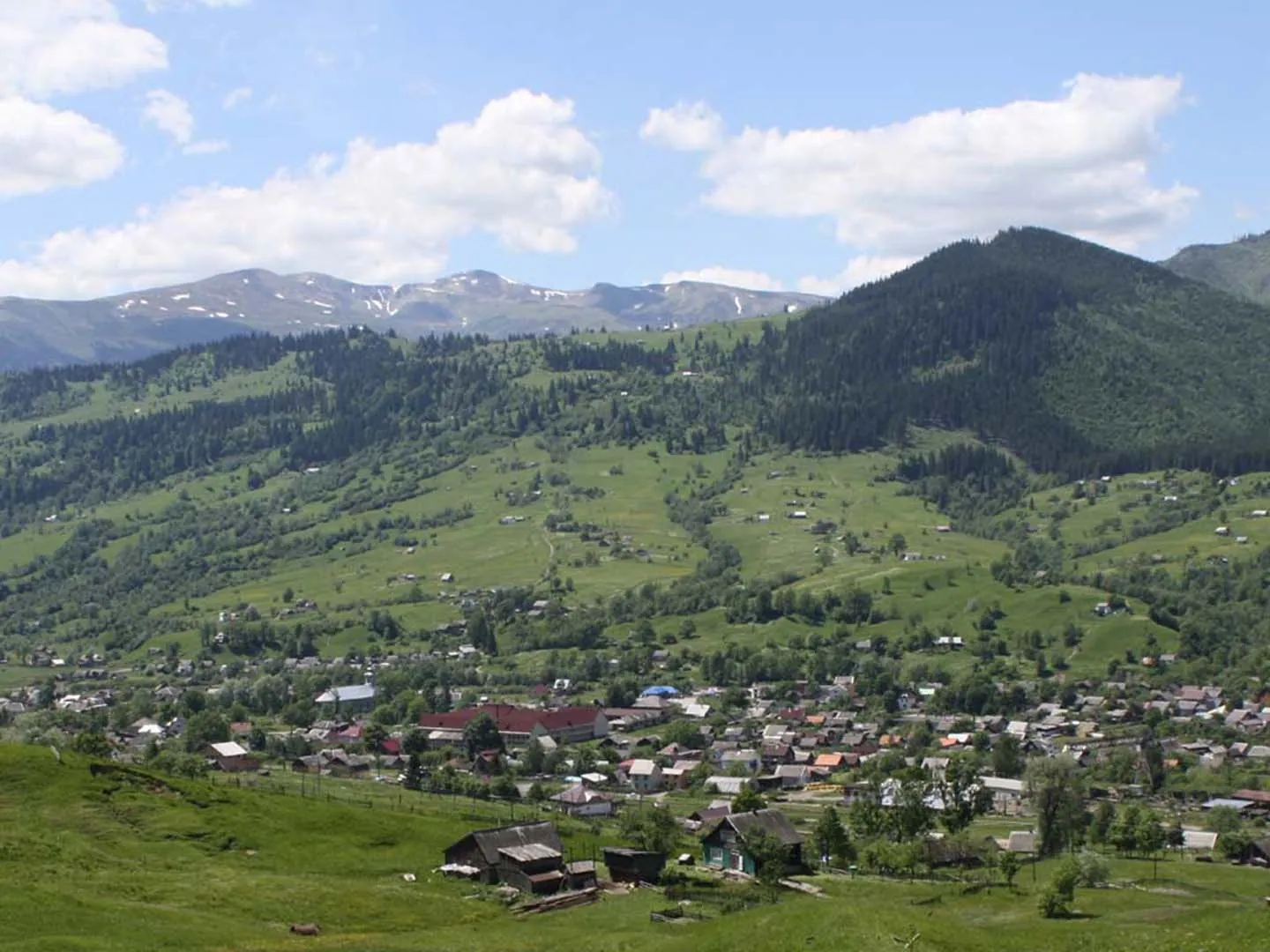
The green approach gradually reveals Hoverla from its wooded side and northern shoulder. At the summit, Chornohora becomes a connected mountain landscape rather than a single isolated hill.

3.8 km 268 +777 m Moderate
Biniaraix’s Old Path: The Descent through Coll d’en Se
✓ TrailTrack

Biniaraix’s Old Path: The Descent through Coll d’en Se

Hiking · One-day

Choose Camí Vell for your return from the gorge if you want to examine an old road closely rather than view the mountains only from Sóller. Stone forms both the walking surface and the agricultural surroundings. Descending through Coll d’en Se gives a tangible sense of the valley’s connections with the hills before modern roads.

1.9 km 268 +129 m Moderate
✓ TrailTrack

Piornais with Branches: from the Pilar Channel to Ribeira do Vasco Gil

Hiking · One-day

The walk shows how water channels belong to everyday Funchal: Pilar appears near the departure, while Piornais follows the urban hillside and irrigated plots. Ribeira do Vasco Gil introduces another watercourse valley on the western approach. Choose a confirmed open section for an introduction; the full version requires checking the restricted part.

15.6 km 268 +1203 m Moderate
✓ TrailTrack

The Noviki Circuit via Perstun and Wołłowicz Palace

Bicycle · One-day

Combine exterior views of the Wołłowicz Palace with religious heritage in Perstun and Svyatsk. This rural cycling circuit places a distinctive manor ensemble at the centre of its architectural interest.

36.9 km 267 +252 m Moderate
✓ TrailTrack

Cow Trail on Dzhurla’s southern approaches with a return

Crimea · Hiking · One-day

Climb the wooded southern approach towards Dzhurla and return, watching the slopes change along the way. This is for walkers interested in the mountain outing without a promised summit or waterfall.

9.7 km 266 +615 m Hard
✓ TrailTrack

Red Trail from lower Chatyr-Dag to the eastern woodland side

Crimea · Hiking · One-day

Experience lower Chatyr-Dag’s transition from open plateau to its eastern wooded slope. This descent includes several repeated approaches near the start, with the changing terrain providing the main interest.

4.5 km 266 +41 m Moderate
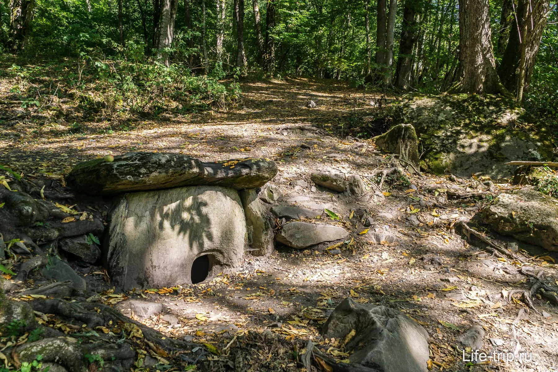
Krasnaya Polyana dolmens: Achishkho’s monuments and lower woodland circuit
✓ TrailTrack

Krasnaya Polyana dolmens: Achishkho’s monuments and lower woodland circuit

Hiking · One-day

The Krasnaya Polyana dolmens reveal ancient stone architecture in its woodland setting. Once the permitted visit has been confirmed, study their surviving parts and the park’s explanations without disturbing the monuments.

4.3 km 266 +300 m Moderate
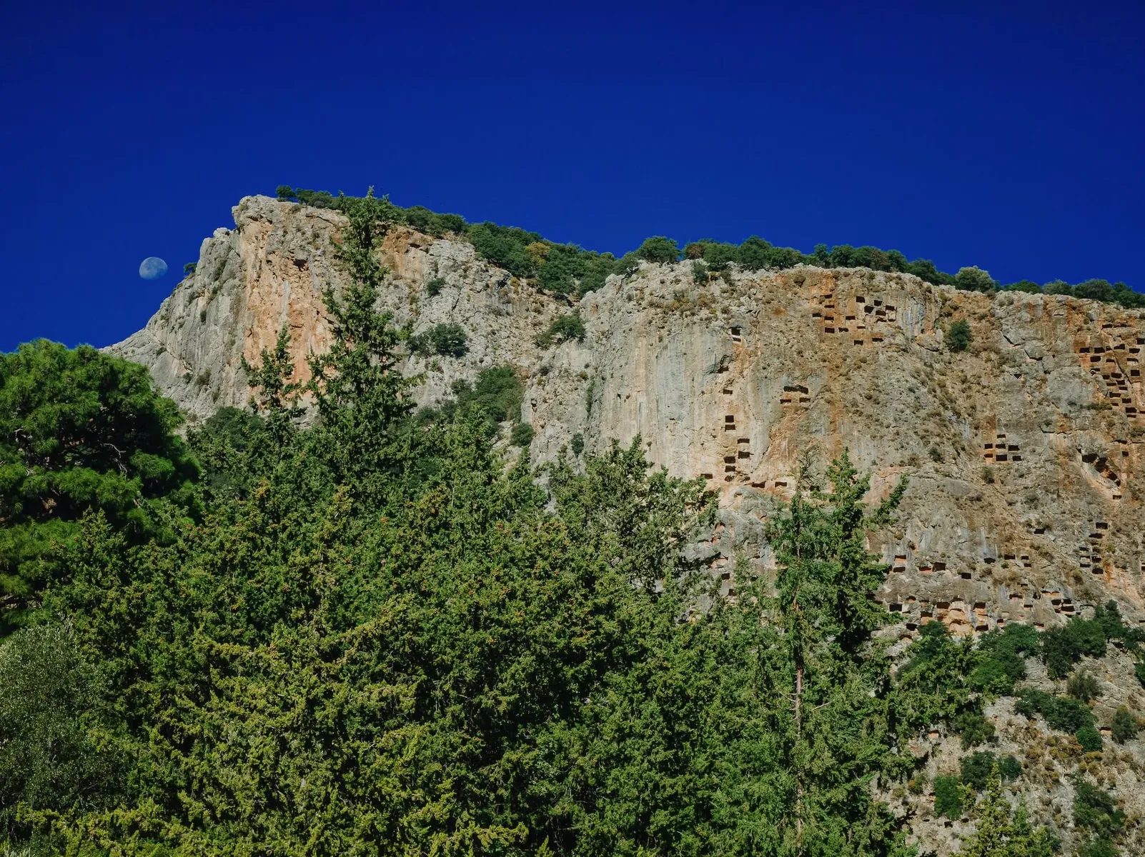
Pınara to Babadağ’s Wooded Slopes: the Westward Passage
✓ TrailTrack

Pınara to Babadağ’s Wooded Slopes: the Westward Passage

Hiking · One-day

Combine a Pınara visit with a walk into its wooded surroundings. Take time for Lycian history in the ancient city before continuing onto the mountain path. It is a rewarding option for visitors who enjoy connecting archaeological places with the landscapes around them.

6.7 km 265 +1110 m Moderate
Northern Ergaki with Repeated NKT and Skazka Approaches
✓ TrailTrack

Northern Ergaki with Repeated NKT and Skazka Approaches

Hiking · One-day

Examine NKT and Skazka through repeated approaches and explore an expanded northern mountain section before the woodland ending. This differs substantially from the direct southward Lazurnoe passage.

13.5 km 264 +1176 m Hard
Lazeshchyna to Yasinya via Petros with Approach Returns
✓ TrailTrack

Lazeshchyna to Yasinya via Petros with Approach Returns

Hiking · Multi-day

The transition from the valley to high Petros is the attraction here. Examine the changing mountain environment, then leave by another inhabited side of Chornohora. The extended version suits walkers wishing to devote a separate journey to Petros rather than fit in a quick summit visit.

48.0 km 264 +3031 m Hard
Triglav Lakes to the Shelter below Krn: Julius Kugy Stage Twelve
✓ TrailTrack

Triglav Lakes to the Shelter below Krn: Julius Kugy Stage Twelve

Hiking · One-day

Link the Triglav lake district with Krn’s mountain surroundings on a substantial crossing. The stage combines two distinct experiences: a leisurely pause beside a glacial lake and a demanding upper ascent to the shelter. Its pass, lake and memorial plaque introduce a part of the Julian Alps where the natural landscape meets traces of the past.

19.7 km 264 +1637 m Hard
Čez Prag: The Rocky Ascent to Begunjski Spring
✓ TrailTrack

Čez Prag: The Rocky Ascent to Begunjski Spring

Hiking · One-day

Traverse the distinct rocky Prag section and experience the transition from the valley approach to high mountain terrain. It suits experienced participants in a larger Triglav programme.

2.7 km 264 +93 m Hard
Forest Link from the Medvezhye Side towards Western Svetloe
✓ TrailTrack

Forest Link from the Medvezhye Side towards Western Svetloe

Hiking · One-day

Move from the Medvezhye forest side towards Svetloe without adding another pass crossing. The appeal is the transition from enclosed woodland to a close approach to the larger lake and its mountain skyline.

0.7 km 263 +39 m Easy
Teriol Ladin from Palla: Sief Pass and the Historic Montucolo Mounds
✓ TrailTrack

Teriol Ladin from Palla: Sief Pass and the Historic Montucolo Mounds

Hiking · One-day

Discover Col di Lana through its historical path as well as its roadside panorama. Sief Pass and the two Montucolo locations help explain how the front crossed mountain terrain. The outing combines woodland, open slopes and a closer look at specific historical places.

9.7 km 263 +756 m Moderate
Boirok Descent with the Southwestern Kashka-Suu Road Bend
✓ TrailTrack

Boirok Descent with the Southwestern Kashka-Suu Road Bend

Hiking · One-day

Leave wooded Boirok for an open hillside and finish at a different bend of the upper Kashka-Suu road. This version works when your return transport is arranged there.

4.3 km 262 +221 m Moderate
The Forest Descent to Roztoka Hut
✓ TrailTrack

The Forest Descent to Roztoka Hut

Hiking · One-day

Roztoka hut itself is the destination: a historic meeting place for mountain travellers sheltered below the main road. This descent adds a human chapter to the valley and a particular building to pause beside.

0.8 km 262 +28 m Moderate
Wray Castle and Two Lakes: Countryside Branches to Blelham Tarn and Windermere
✓ TrailTrack

Wray Castle and Two Lakes: Countryside Branches to Blelham Tarn and Windermere

Hiking · One-day

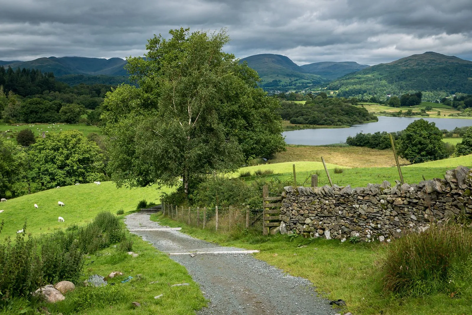
See two contrasting lake settings together: quiet Blelham Tarn among farmland and the open expanse of Windermere beside the estate. The castle, old walls and stone bridge give the outing its character. Choose it for a day combining Lake District scenery with a historic estate without a major mountain climb.

7.9 km 261 +190 m Moderate
Sennjoch to Kreuzjoch: The High Panorama Transition
✓ TrailTrack

Sennjoch to Kreuzjoch: The High Panorama Transition

Hiking · One-day

Follow an exposed direction between a specific saddle and the upper resort side. The mountain setting and exterior panorama-restaurant pause give an objective to an already arranged high outing.

1.4 km 261 +238 m Moderate
Back Page 9 of 79 Next