TrailTrack routes

Маршруты с подготовленным описанием, сложностью, покрытием и планированием визита.

Found 1895 routes
Choose a route from the list or view routes on the map.
✓ TrailTrack

Pic de la Géla: the HRP Variant via Sède and Géla Cols

Hiking · One-day

Pic de la Géla is a specific summit objective, while Sède and Géla reveal different sides of one mountain district. This variant is an engaging high link within a longer journey.

6.4 km 212 +876 m Moderate
Sommersteig to the Fritzenhütte Hunting Lodge
✓ TrailTrack

Sommersteig to the Fritzenhütte Hunting Lodge

Hiking · One-day

Walk the summer forest-slope path to a specific hunting lodge at the upper ending. Include it in an independently planned walking outing on this valley side, with your own return.

2.2 km 212 +269 m Easy
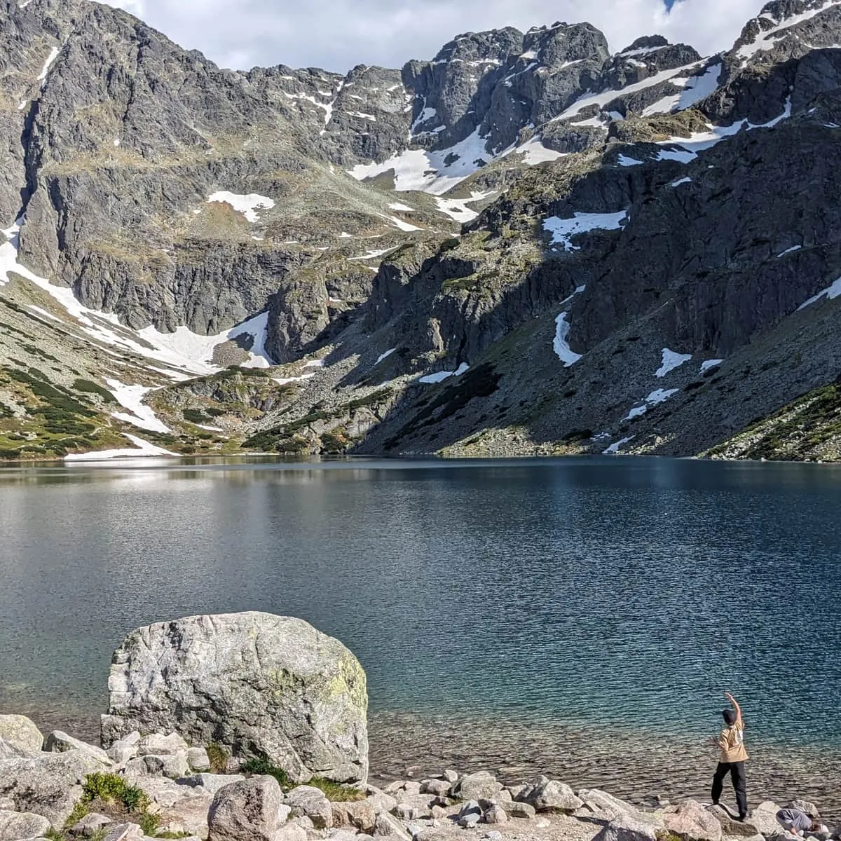
Above Czarny Staw: the ascent to the junction before Zmarzły Staw
✓ TrailTrack

Above Czarny Staw: the ascent to the junction before Zmarzły Staw

Hiking · One-day

The ascent shows how a stepped glacial valley fits together. It suits walkers who want to look back over Czarny Staw and approach the upper cirque after exploring the shore, with a clear turnaround point.

0.8 km 212 +191 m Moderate
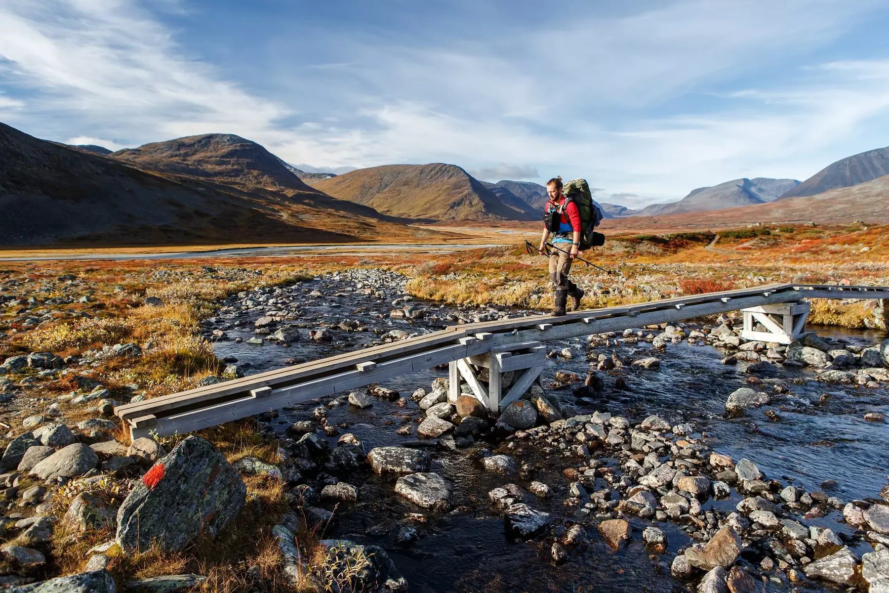
Singi to Kebnekaise: A Valley Stage Between Mountain Bases
✓ TrailTrack

Singi to Kebnekaise: A Valley Stage Between Mountain Bases

Hiking · One-day

Walk the link between Kungsleden and Kebnekaise Fjällstation, seeing the open ground around Singi give way to a narrower valley. It works particularly well as a distinct walking day within a longer trip, with overnight stays planned at either end.

14.3 km 212 +0 m Moderate
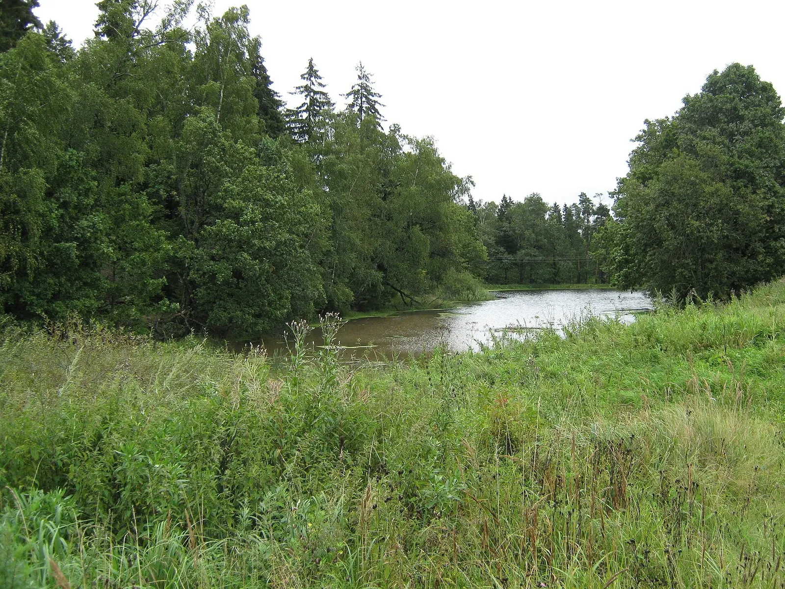
The Lavra Road: Moscow’s Resurrection Gate to Sergiev Posad
✓ TrailTrack

The Lavra Road: Moscow’s Resurrection Gate to Sergiev Posad

Moscow region · Hiking · Multi-day

Reach the Lavra under your own steam, linking central Moscow, the Yauza valley, Tayninskoye, Radonezh and Khotkovo. Architecture and pilgrimage tradition become part of a personal journey between the places.

113.2 km 211 +177 m Hard
CIMA HU04 from Sarvisé: Repeated Rides to Fanlo Pass
✓ TrailTrack

CIMA HU04 from Sarvisé: Repeated Rides to Fanlo Pass

Bicycle · One-day

Fanlo’s western approach combines the road climb with a woodland stop at a named viewpoint. Returns allow effort and pauses to be spread without adding a second valley.

31.6 km 211 +2402 m Moderate
✓ TrailTrack

Cleopatra through Topolog to the Cumpăna Approaches

Hiking · Multi-day

The journey links the stone bowl below Cleopatra, Topolog valley and pastoral approaches towards Vidraru. Repeated passages reward closer attention to the valleys when a multiday plan has been prepared beforehand.

59.5 km 211 +3562 m Hard
Silberhornhütte Ascent through the Rock Bands above Stechelberg
✓ TrailTrack

Silberhornhütte Ascent through the Rock Bands above Stechelberg

Hiking · One-day

The small historical refuge rewards a serious mountain approach. Moving from valley streams to rock bands offers an unusually gradual entry into high alpine surroundings.

6.7 km 210 +323 m Hard
Auland to Upper Leiblfing: Woodland Descent and Return across Reither Bach
✓ TrailTrack

Auland to Upper Leiblfing: Woodland Descent and Return across Reither Bach

Hiking · One-day

The same wooded slope looks different while descending and climbing. It connects quiet Auland with Tyrol’s valley side while providing a clear return to the start.

4.0 km 210 +305 m Moderate
Völs Kapellenweg: The Saint Blaise Church Approach
✓ TrailTrack

Völs Kapellenweg: The Saint Blaise Church Approach

Hiking · One-day

Reach a Völs landmark on a short outing from the old centre. The hillside church and small roadside devotional station give the walk a specific cultural purpose; the upper approach allows a quiet exterior visit.

0.8 km 210 +170 m Easy
Triftenwaeng: a Short Mountain Passage above Zermatt
✓ TrailTrack

Triftenwaeng: a Short Mountain Passage above Zermatt

Hiking · One-day

Choose this independent path to add variety to a Trift-area walk without turning every outing into a long Höhbalmen circuit. Include it in a plan with a clear lower approach and return. That preparation leaves time to enjoy the mountain passage without hurrying.

1.3 km 210 +166 m Moderate
✓ TrailTrack

Bâlea Cascadă to Curmătura Bâlei: Ascending through Doamnei Valley

Hiking · One-day

Reach Curmătura Bâlei through Doamnei Valley and compare the mountain sides. Imnul Transfăgărășan Memorial adds a small historical stop near the upper finish.

8.7 km 210 +1756 m Moderate
✓ TrailTrack

Bakhchisaray and Laki: Woodland Stages and a Return to Historic Sites

Crimea · Hiking · Multi-day

Connect wooded Laki with specific Bakhchisaray monuments in one multi-day walking programme. Waterside and historic pauses show the area beyond an individual palace excursion.

60.4 km 209 +1931 m Moderate
Luhy to the Upper Balzatul: The Green Approach towards Vaskul
✓ TrailTrack

Luhy to the Upper Balzatul: The Green Approach towards Vaskul

Hiking · One-day

Follow the valley rivers from Luhy towards Balzatul and see its named timber-dam remains. This green approach reveals Chornohora’s water side while leaving Vaskul summit as an extra outing.

16.2 km 209 +1104 m Hard
✓ TrailTrack

The Extended Karwendel: Falkenhütte and Distant Pass Branches

Hiking · Multi-day

Explore contrasting Karwendel areas on an independently arranged extended outing. Actual passes, two visited summits and the exteriors of established alpine huts provide varied mountain pauses; repeated distant branches need carefully selected independent days.

241.7 km 209 +18006 m Hard
✓ TrailTrack

A Visit to Fermersky Waterfall on the Southern Krasnaya Polyana Side

Hiking · One-day

Spend part of the day beside Fermersky Waterfall, giving the water stop more attention than a search for additional destinations. The outing retains a clear focus on one named place.

3.8 km 209 +705 m Moderate
✓ TrailTrack

Transfăgărășan to Moldoveanu by the Southern Ridges

Hiking · Multi-day

The southern ridges reveal how pastures, neighbouring summits and saddles gradually lead towards Moldoveanu. Galbena provides a mountain objective of its own before the final summit.

56.3 km 209 +4082 m Hard
Andorra’s GR7: Pessons Lakes and the Madriu Valley
✓ TrailTrack

Andorra’s GR7: Pessons Lakes and the Madriu Valley

Hiking · Multi-day

Pessons offers an entire lake district rather than a single celebrated shore. Madriu adds the history of mountain land use, giving the journey two distinct sides of Andorra.

79.1 km 209 +5537 m Hard
✓ TrailTrack

From Eklizi-Burun through Beech Glade to Angarsky Pass

Crimea · Hiking · One-day

Travel from Eklizi-Burun to Beech Glade and finish at the pass’s trolleybus memorial. The change from exposed rocky slope to forest makes the descent a mountain journey in its own right.

7.7 km 208 +106 m Moderate
✓ TrailTrack

Bâlea Waterfall: A Forest Walk from the Lower Valley

Hiking · One-day

See Bâlea Waterfall after its forest approach and pause beside the river of the same name. It is an independent destination on the lower Făgăraș side, separate from the lake hike.

1.3 km 208 +288 m Moderate
Lchashen to Lake Akna: Walking from Sevan into the Gegham Mountains
✓ TrailTrack

Lchashen to Lake Akna: Walking from Sevan into the Gegham Mountains

Hiking · Multi-day

Reach Lake Akna on foot from Lchashen and experience the gradual transition from Sevan towards the open Gegham Mountains. Arriving at the shore after a long journey through the upland meadows gives the lake its particular significance.

43.3 km 208 +1858 m Hard
Moscow Green Ring: A Long Walk through the City’s Parks
✓ TrailTrack

Moscow Green Ring: A Long Walk through the City’s Parks

Moscow region · Hiking · Multi-day

The Figurny Bridge shows how a park path becomes part of a palace ensemble. Spruce Alley adds a botanical encounter with the arboretum; stops like these make a sequential city circuit more varied than repeating the same district walk.

162.2 km 207 +165 m Hard
✓ TrailTrack

Two Katun Range Saddles: Tekelu to the Argut via Sullu-Boch and Suluayry

Altai · Hiking · Multi-day

To connect the upper Tekelu area, two Katun Range passes and the Argut valley in one hike. Sullu-Boch and Suluayry shape the succession of mountain stages, followed by the river section along the Argut. This traverse rewards hikers who enjoy discovering a region through its neighbouring valleys.

51.1 km 207 +3515 m Hard
Komna to Triglav Lakes Hut: an Extended Crossing with Returns
✓ TrailTrack

Komna to Triglav Lakes Hut: an Extended Crossing with Returns

Hiking · One-day

Spend time in the mountain country between two huts, noticing changes in the slopes and rocky hollows. Repeated approaches make this version longer than the usual connection and extend the time spent in the upland landscape. The memorial plaque near the departure adds a historical stop to a walk through Komna.

21.4 km 207 +2113 m Moderate
Back Page 17 of 79 Next