TrailTrack routes

Маршруты с подготовленным описанием, сложностью, покрытием и планированием визита.

Found 1895 routes
Choose a route from the list or view routes on the map.
Zolotarnoye: repeated excursions to Zelyony and Pikantny
✓ TrailTrack

Zolotarnoye: repeated excursions to Zelyony and Pikantny

Hiking · One-day

Visit Zolotarnoye, Zelyony and Pikantny during one mountain journey with returns to familiar lake approaches. Explore different saddles without adding Dinosaur Peak’s ascent.

7.7 km 305 +741 m Hard
Woodland Footpath to Im Boden above Stechelberg
✓ TrailTrack

Woodland Footpath to Im Boden above Stechelberg

Hiking · One-day

The woodland link to Im Boden offers a more intimate passage through the rear valley. It fits a walking day focused on small bends and changes of woodland light.

0.6 km 305 +3 m Easy
Polana Kopieniec: the woodland descent to Toporowa Cyrhla
✓ TrailTrack

Polana Kopieniec: the woodland descent to Toporowa Cyrhla

Hiking · One-day

This walk links a pastoral meadow with a woodland descent to Zakopane’s outskirts. As the closing section of a Kopieniec outing, it lets open meadow surroundings gradually give way to the forest and the return to Cyrhla.

1.8 km 305 +0 m Moderate
Monrepos and Tverdysh: Park Monuments and Island Fortifications
✓ TrailTrack

Monrepos and Tverdysh: Park Monuments and Island Fortifications

Hiking · One-day

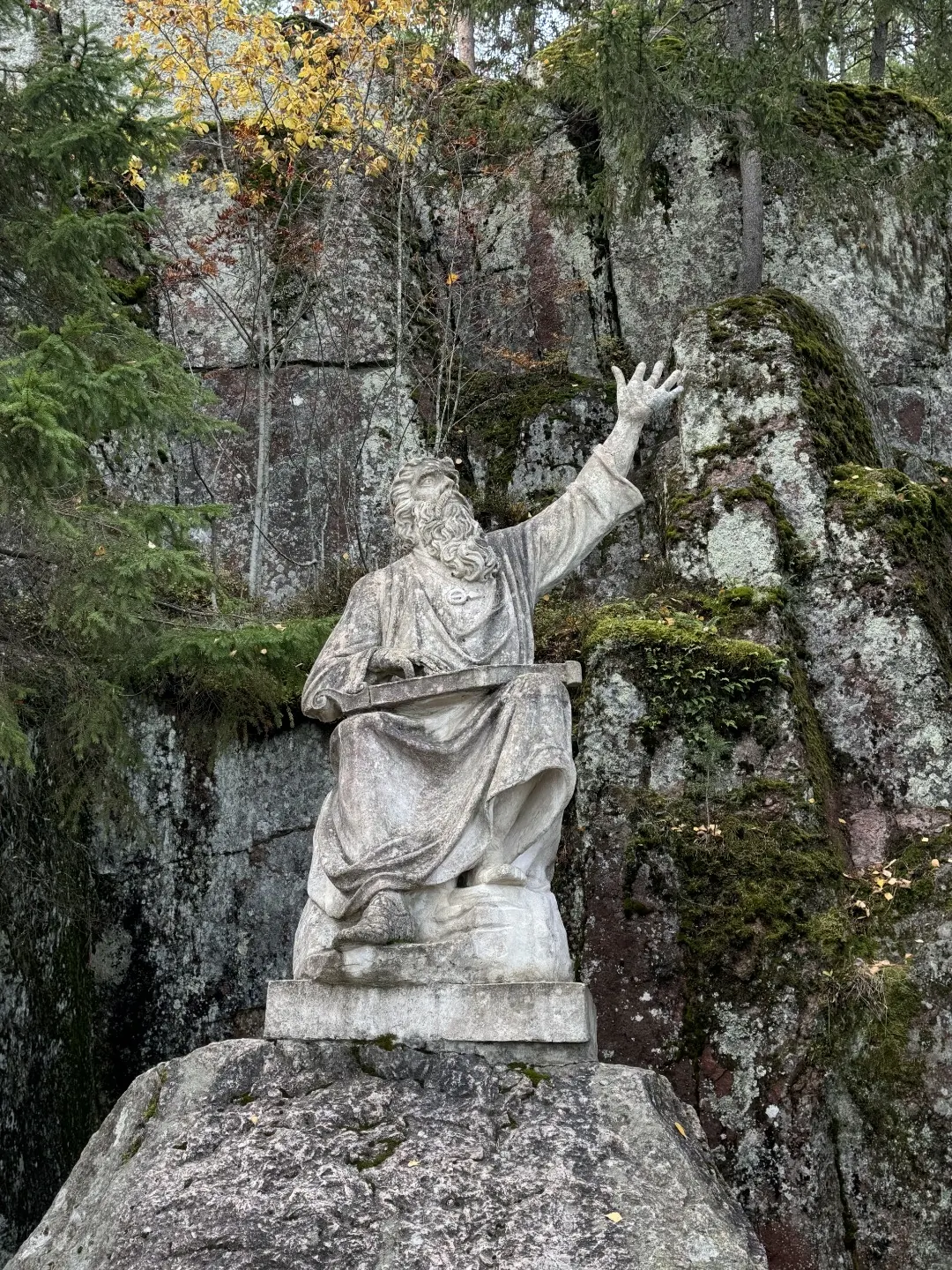
Examine Narcissus Spring, Väinämöinen and the Chinese Bridges, then explore the island fortifications if access is confirmed. Monrepos combines intimate park objects with the historical outer side of Tverdysh Island.

8.1 km 303 +55 m Moderate
Novokhusainovo: Northern Avalyak Approach to Iremel’s High Paths
✓ TrailTrack

Novokhusainovo: Northern Avalyak Approach to Iremel’s High Paths

Hiking · One-day

Follow the specific Kairakty direction and the Avalyak ridge’s northern mountain side. The long eastern approach ends beside Iremel’s high paths and differs from the southern Baysakalovo direction.

21.7 km 302 +888 m Hard
Bavra to Nunisi: Older Variation via Paravani
✓ TrailTrack

Bavra to Nunisi: Older Variation via Paravani

Hiking · Multi-day

Discover Paravani and the villages of the Javakheti highland, then explore the forested Nunisi region. Rework the border section first: the old continuous crossing is impermissible, while separate permitted walks may form the basis of a rewarding longer journey.

299.0 km 302 +7778 m Hard
Emparis Mule Path via Clot Raffin
✓ TrailTrack

Emparis Mule Path via Clot Raffin

Hiking · One-day

Clot Raffin and the old mule path reveal the working side of Emparis. Look beyond the mountains to how people reached the hay meadows and brought the harvest back to their village.

12.3 km 302 +1219 m Moderate
Reivers and Hadrian’s Wall: the Workington–North Shields Extended Variant
✓ TrailTrack

Reivers and Hadrian’s Wall: the Workington–North Shields Extended Variant

Bicycle · Multi-day

Explore northern England through contrasting layers of history: Aesica’s Roman earthworks, the low stone remains at Sewingshields and Newcastle’s contemporary Chinatown. Sycamore Gap also recalls how vulnerable familiar landscapes can be: protected regrowth now occupies the site of the famous mature tree. Once the road connections are revised, these places offer meaningful stops worth dismounting and spending time at.

423.6 km 301 +4794 m Hard
Upper Kamenka to Chertovo Lake’s western shore
✓ TrailTrack

Upper Kamenka to Chertovo Lake’s western shore

Hiking · One-day

Walk from upper Kamenka to a small mountain lake and enjoy the water without adding other summits. It provides a clear separate destination for a group already in the mountains.

3.6 km 300 +213 m Easy
✓ TrailTrack

Camí de sa Capelleta: Spring and Chapel above the Sóller Valley

Hiking · One-day

Sa Capelleta gives the walk a particular focus: a small chapel worth examining closely rather than a long list of museum stops. Its modernist design and history belong to the local community. If you arrange access, the grotto-like interior adds another reason to linger; when the door is closed, the exterior remains a worthwhile stop along the way.

2.0 km 300 +70 m Moderate
From Beshenka Pool down to Krasnaya Polyana’s woodland paths
✓ TrailTrack

From Beshenka Pool down to Krasnaya Polyana’s woodland paths

Hiking · One-day

Beshenka Pool gives a small woodland outing above the village a definite destination. Descending provides a gentle conclusion to the river visit without continuing towards high lakes or waterfalls.

2.0 km 300 +42 m Easy
From Vinstra along Mjølkevegen: mountain roads and southern loops towards Høyme
✓ TrailTrack

From Vinstra along Mjølkevegen: mountain roads and southern loops towards Høyme

Gravel and dirt · Multi-day

Spend several touring days between Vinstra’s river, the summer-farm gravel road Jotunheimvegen and mountainous Slettefjellvegen. Southern loops offer additional exploration of Golsfjellet when nights and departure from Høyme’s surroundings are planned.

296.2 km 299 +0 m Hard
Platthorn from Triftchumme: the Upper Alpine Ascent
✓ TrailTrack

Platthorn from Triftchumme: the Upper Alpine Ascent

Hiking · One-day

Platthorn offers a high-summit perspective on Zermatt’s western surroundings, with Obergabelhorn’s rock ridges and Wellenkuppe’s snow formations especially striking in clear weather. The summit and its open panorama are the main reward. Choose the ascent when prepared for an Alpine path and with the lower approach already organised.

2.3 km 299 +597 m Hard
Route 37 from Penny Bridge: Coniston, Langdale and Walking Branches towards Ambleside
✓ TrailTrack

Route 37 from Penny Bridge: Coniston, Langdale and Walking Branches towards Ambleside

Route 37 from Penny Bridge: Coniston · Bicycle · One-day

Connect lakeside scenery, John Ruskin’s history and the Langdale valleys in one substantial journey. Coniston Water, stony roads around Tilberthwaite and the river at Woodburn Bridge provide particularly distinctive contrasts. This variant allows time at interesting places for those prepared for a long day, return branches and separate walking sections.

58.1 km 298 +1392 m Hard
✓ TrailTrack

Son Real through Inca and Muro: Es Figueral, Churches and Wayside Crosses

Son Real through Inca and Muro: Es Figueral · Bicycle · Multi-day

Choose the contrast between Es Figueral’s stone remains and the town churches of Inca and Muro. Compare Sant Domingo and Santa Maria la Major in Inca; find Santa Anna and two wayside crosses in Muro. Ermites del Raiguer names a broader cycling itinerary. This outing has its own stops, so visits to the hilltop sanctuaries need separate planning.

99.1 km 298 +816 m Hard
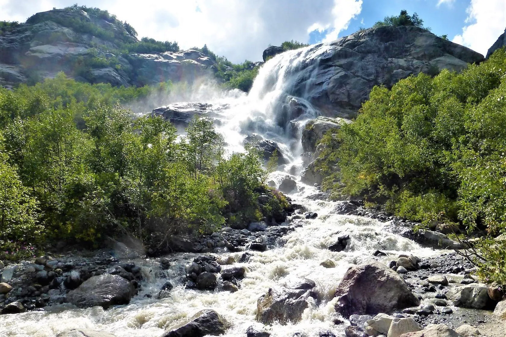
Alibek Waterfall on Foot from Dombay via the Camp and Alibechka Stream
✓ TrailTrack

Alibek Waterfall on Foot from Dombay via the Camp and Alibechka Stream

Hiking · One-day

The walk unfolds around a clear destination: Dombay, the wooded approach, the named camp and the waterfall. It offers a view of the gorge without promising a glacier excursion. A memorial to a century of Soviet mountaineering beside the lower road also connects the outing with the climbing heritage of Dombay.

8.3 km 298 +345 m Moderate
Marmot Path: Sunnegga Ascent to Blauherd
✓ TrailTrack

Marmot Path: Sunnegga Ascent to Blauherd

Hiking · One-day

At Alpine Lounge, observations from the meadow can be compared with explanations about animals, plants, snow and ice. The themed path encourages careful attention to nature without promising a marmot encounter.

3.4 km 298 +460 m Moderate
Ben Nevis from the Hostel: Summit Circle with a Reverse Arête and Northern Returns
✓ TrailTrack

Ben Nevis from the Hostel: Summit Circle with a Reverse Arête and Northern Returns

Hiking · One-day

Experience Ben Nevis beyond an ascent and descent on a single slope. The summit memorial, exposed arête and northern glen make a substantial mountain day, while the succession of Càrn Mòr Dearg and Càrn Dearg Meadhonach gives the circle its distinctive shape. It offers most to groups comfortable on exposed rocky ridges and with sufficient energy for a further ascent.

23.5 km 297 +2780 m Hard
From Altyn-Arashan via Ala-Kul to Karakol Gorge
✓ TrailTrack

From Altyn-Arashan via Ala-Kul to Karakol Gorge

Hiking · Multi-day

Meet Ala-Kul after the ascent from Keldike and follow the transition from open high country to a wooded valley. Altyn-Arashan adds a distinct stop at the hot springs when a visit has been arranged in advance.

44.7 km 297 +4459 m Hard
Marble Waterfall and West Kursantov: Restaurant Junction to Harmony
✓ TrailTrack

Marble Waterfall and West Kursantov: Restaurant Junction to Harmony

Hiking · One-day

Link Marble Waterfall and Lake with a definite saddle, a named rocky field and two separate upper lakes. The contrast between wooded Tushkanchik and Minotaur’s Labyrinth gives this passage a distinct character.

8.7 km 296 +780 m Hard
Black Pyramid: the Upper Rocky Outing from Cirque 2
✓ TrailTrack

Black Pyramid: the Upper Rocky Outing from Cirque 2

Hiking · One-day

Volcanic rock and Black Pyramid’s distinctive form give it a definite mountain identity. Exploring the rocky massif is rewarding with appropriate preparation and an agreed visiting format.

1.9 km 296 +282 m Hard
Old Diklo to Omalo: Through Shenako and the Pirikitis Alazani Valley
✓ TrailTrack

Old Diklo to Omalo: Through Shenako and the Pirikitis Alazani Valley

Hiking · One-day

Link Old Diklo and Omalo in a walking day, see the ruins beside the beginning and cross the Pirikitis Alazani valley. Shenako offers a pause for local architecture between the two mountain settlements.

18.3 km 296 +938 m Moderate
Cirque 1 Alpine Meadows and the Atsanguar
✓ TrailTrack

Cirque 1 Alpine Meadows and the Atsanguar

Hiking · One-day

The atsanguar adds human history to the mountain walk. Seasonal meadow life and a real archaeological feature beside the path give the outing a distinct focus.

2.1 km 296 +238 m Moderate
Likani Valley: a Woodland Walk above Likaniskhevi
✓ TrailTrack

Likani Valley: a Woodland Walk above Likaniskhevi

Hiking · One-day

This Likani outing brings its named river valley and enclosing woodland into one mountain day. Choose it for an introduction to the national park beyond central Borjomi, with time to walk the entire forest passage.

8.2 km 296 +696 m Moderate
Back Page 5 of 79 Next