TrailTrack routes

Маршруты с подготовленным описанием, сложностью, покрытием и планированием визита.

Found 1895 routes
Choose a route from the list or view routes on the map.
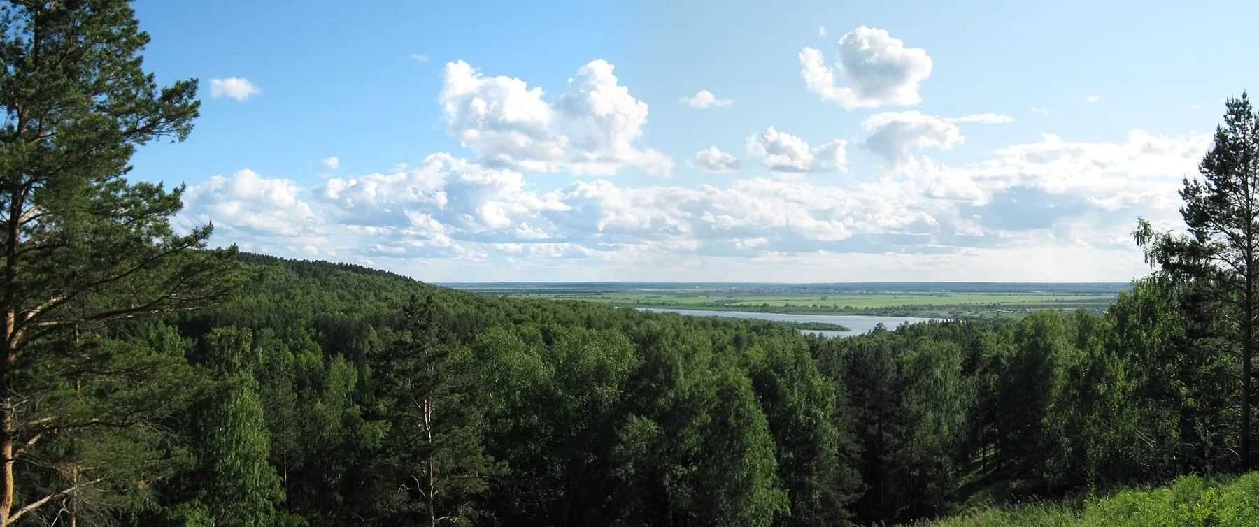
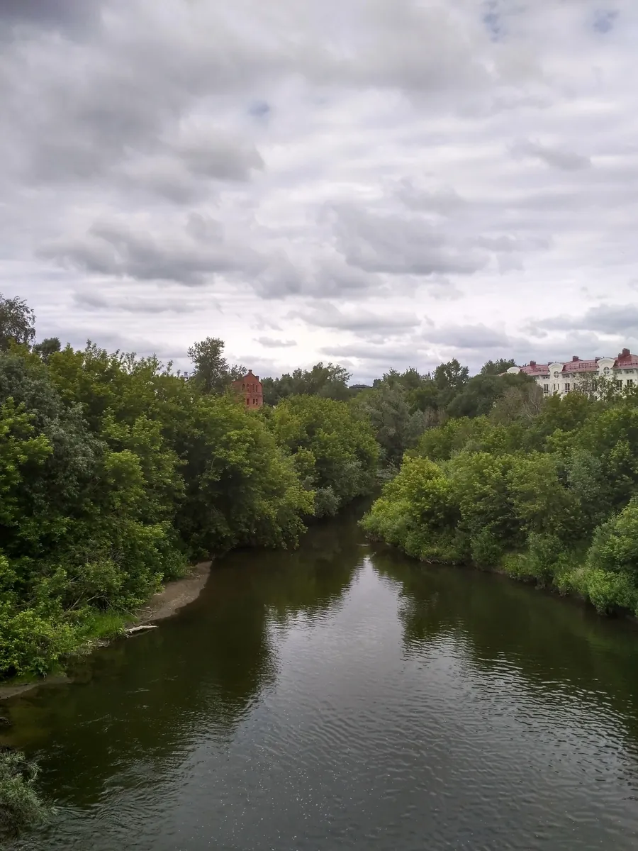
Resurrection Hill: Outside Tower, Church and House of Arts Approaches
✓ TrailTrack

Resurrection Hill: Outside Tower, Church and House of Arts Approaches

Resurrection Hill: Outside Tower · Hiking · One-day

See the specific Saviour Tower, Resurrection Church, Holy Trinity Church and the House of Arts on Shishkov Street. The historic street section links different architectural sides of old Tomsk.

3.4 km 139 +64 m Easy
Arshan Peak to the Peak of Love: Mountain Route
✓ TrailTrack

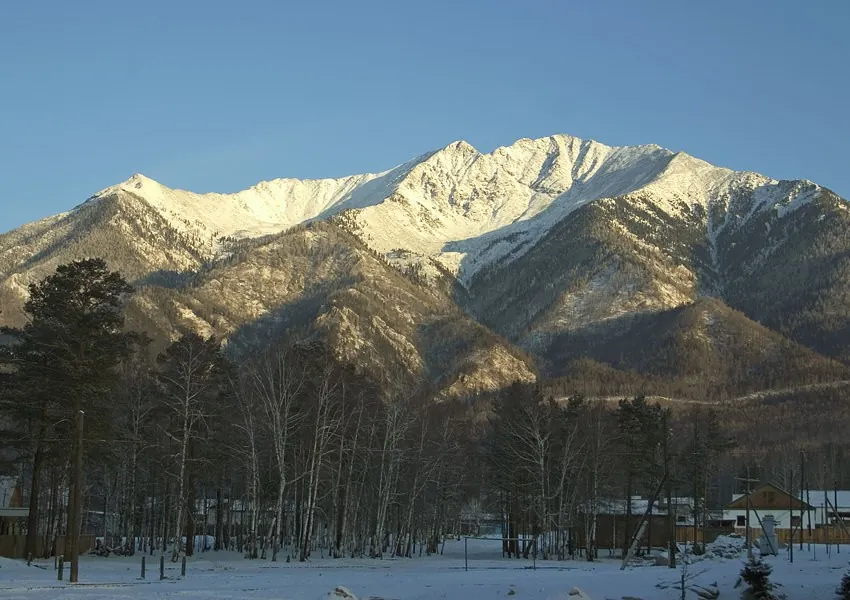
Arshan Peak to the Peak of Love: Mountain Route

Hiking · One-day

Mapped viewpoints occur along the way along this 3.38 km point-to-point walking route. Rolling terrain: 60 m of total ascent over 3.38 km. Estimated moving time is about 1.2 hours; add time for pauses and navigation.

3.4 km 139 +60 m Easy
Vertical Cape: woodland branch to the Pacific viewpoint
✓ TrailTrack

Vertical Cape: woodland branch to the Pacific viewpoint

Hiking · One-day

Walk from birch woodland to Vertical Cape’s open ocean outlook. The viewpoint allows a pause above the shoreline and surf without adding the longer road passage to the lighthouse.

1.6 km 139 +56 m Easy
Kotlovka on foot: Sosenki and Korshunikha parks
✓ TrailTrack

Kotlovka on foot: Sosenki and Korshunikha parks

Moscow region · Hiking · One-day

Explore two river parks in the same neighbourhood: the pine landscape of Sosenki and the Korshunikha valley. The outing introduces Kotlovka’s green spaces and helps you find places to return to for shorter walks.

6.8 km 139 +21 m Easy
Opalikha to Pionerskaya via Lohin Island: The Updated Podushkino Spring Version
✓ TrailTrack

Opalikha to Pionerskaya via Lohin Island: The Updated Podushkino Spring Version

Moscow region · Run · One-day

Make a prolonged outing with two different natural pauses: a short Lohin Island visit and a stop near Podushkino Spring. The updated woodland connection differs from the older western approach, with actual waters and the Odintsovo-11 archaeological place before the conclusion.

32.7 km 139 +445 m Hard
Below Ganalskiye Vostryaki: via Bochki towards Lednichok Lake
✓ TrailTrack

Below Ganalskiye Vostryaki: via Bochki towards Lednichok Lake

Hiking · One-day

Approach Ganalskiye Vostryaki’s rocky side through woodland and upper terraces, then pause beside Lednichok Lake. The lake offers a view of the massif from below while keeping the outing focused on the mountain cirque.

15.5 km 138 +809 m Moderate
Polushkino to Teatralnaya via Morevo: Quarry Lake and Two Riverbanks
✓ TrailTrack

Polushkino to Teatralnaya via Morevo: Quarry Lake and Two Riverbanks

Moscow region · Hiking · One-day

Explore two riversides and a quarry landscape in one journey: Vasilyevskoye’s historic church, a spring-side bank, the woodland Gnilyusha and the large waterbody before Morevo. The full option retains a longer passage through former quarry surroundings. It suits walkers planning their own day of worthwhile pauses and checking the connections in advance.

26.3 km 138 +352 m Hard
Moscow’s Long Green Ring: Timiryazevsky Forest to Tsaritsyno and Back
✓ TrailTrack

Moscow’s Long Green Ring: Timiryazevsky Forest to Tsaritsyno and Back

Moscow region · Hiking · Multi-day

Crossing the Figurny Bridge and walking the arboretum alleys bring architectural and botanical Moscow into one journey. Each outing continues the wider circuit, gradually joining familiar districts into a larger story.

160.2 km 138 +2285 m Hard
Politekhnik’s Eastern Side: Two Separate Cycling Sections
✓ TrailTrack

Politekhnik’s Eastern Side: Two Separate Cycling Sections

Bicycle · One-day

Choose short eastern paths beside the specific Politekhnik grounds and Potapovy Luzhki’s woodland side. The two sections offer different directions without establishing a complete stadium circuit.

1.0 km 137 +5 m Easy
Aktru Small Overview Loop: Sachki, Waterfall and River Crossings
✓ TrailTrack

Aktru Small Overview Loop: Sachki, Waterfall and River Crossings

Altai · Hiking · One-day

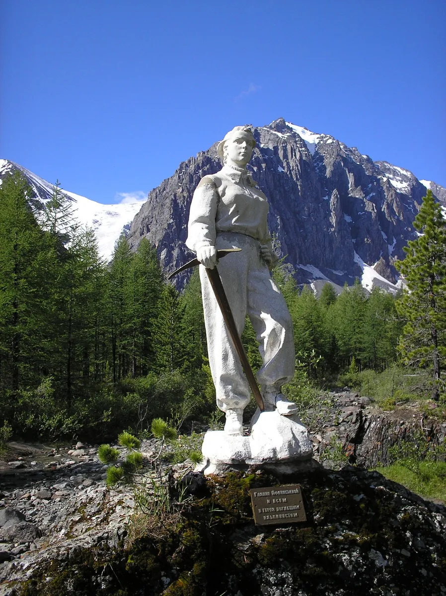
Walk a compact Aktru overview circuit through Sachki and the waterfall, see the Galina Afanasyeva Memorial and return to the camp. A satisfying first introduction to the valley when conditions are suitable.

4.3 km 137 +161 m Easy
Alla-Askyr and Kyrgyz: a Lake Journey across Kuyguk and Surovy
✓ TrailTrack

Alla-Askyr and Kyrgyz: a Lake Journey across Kuyguk and Surovy

Altai · Hiking · Multi-day

Visit Kuyguk, Maly Akchan, Alla-Askyr and Kyrgyz within one mountain journey, crossing named passes between their valleys. Each lake gives the next stage its own purpose rather than leaving every reward until the final stop.

57.3 km 137 +1732 m Hard
Podkamennaya to Orlyonok: Cross-Country Ski Route
✓ TrailTrack

Podkamennaya to Orlyonok: Cross-Country Ski Route

Skiing · One-day

Plan this 37.31 km point-to-point cross-country skiing route from its verified distance, gradients and recorded surface rather than unconfirmed landmarks. Rolling terrain: 672 m of total ascent over 37.31 km. Estimated moving time is about 7.4 hours; add time for pauses and navigation.

37.3 km 137 +672 m Hard
Eastern Elektrostal: Yubileyny Pond and the Khodtsa
✓ TrailTrack

Eastern Elektrostal: Yubileyny Pond and the Khodtsa

Moscow region · Hiking · One-day

See Yubileyny Pond and the neighbouring Khodtsa river on one outing, discovering the waterside character of Elektrostal’s Eastern District.

4.7 km 137 +19 m Easy
Firsanovskaya to Serednikovo’s Gates via Shchepkino Boloto and the Goretovka
✓ TrailTrack

Firsanovskaya to Serednikovo’s Gates via Shchepkino Boloto and the Goretovka

Moscow region · Hiking · One-day

Enjoy woodland river scenes, a pause near Shchepkino Boloto and the gradual approach to a historic church and Lermontov’s countryside. Devote the day to walking, with an estate visit added afterwards if the owner’s schedule allows.

14.1 km 137 +159 m Moderate
Borovsk to Vereya along the Protva: The Full Walk via Sovyaki and Naberezhnaya Sloboda
✓ TrailTrack

Borovsk to Vereya along the Protva: The Full Walk via Sovyaki and Naberezhnaya Sloboda

Moscow region · Hiking · Multi-day

Connect two old towns and discover the lived-in Protva valley between them. The churches of Sovyaki, Dubrovo and Naberezhnaya Sloboda provide specific historic pauses, while the Borinka, Isma and suspension crossing change the river scenery. Several days leave time to explore once permitted overnight stops and the return are arranged.

49.9 km 137 +582 m Moderate
Voskresenskoe: Cycling Route · F001
✓ TrailTrack

Voskresenskoe: Cycling Route · F001

Moscow region · Bicycle · One-day

Treat this 17.07 km point-to-point cycling route as a complete outing, paying attention to the terrain and changing surface underfoot. Gentle terrain: 77 m of total ascent over 17.07 km. Estimated moving time is about 1.6 hours; add time for pauses and navigation.

17.1 km 137 +77 m Moderate
Zvenigorod–Ershovo Cycling Circuit: Pochtovy Pond and Country Roads
✓ TrailTrack

Zvenigorod–Ershovo Cycling Circuit: Pochtovy Pond and Country Roads

Moscow region · Bicycle · One-day

See Pochtovy Pond and Ershovo’s Trinity Church, whose history combines wartime remembrance with the village’s recovery. The northern country portion adds distance and changing settlements. The idea suits experienced cyclists prepared to settle the road-side return beforehand; a shorter independent Ershovo outing provides another way to enjoy the church stop.

22.6 km 137 +38 m Hard
Egyptian and Trudny to the Belokopytka Lakes: a Ridge Return along Kyngarga
✓ TrailTrack

Egyptian and Trudny to the Belokopytka Lakes: a Ridge Return along Kyngarga

Hiking · Multi-day

For lakes reached across two different pass sides. Fedyushkina’s source lake follows Egyptian Pass, while upper Belokopytka presents another mountain water landscape beyond Trudny. The ridge section reveals the lake area from above before exchanging it for Kyngarga woodland. This is a varied mountain outing for a group prepared to establish its difficult connections independently.

22.8 km 136 +1311 m Hard
The Mountain Side of the Argut: Tekelu, Sullu-Boch and Suluayry
✓ TrailTrack

The Mountain Side of the Argut: Tekelu, Sullu-Boch and Suluayry

Altai · Hiking · Multi-day

Compare Sullu-Boch and Suluayry, travel from Tekelu Stream towards the Argut and spend several days on the remote side of the Katun Range. Mountain-pass pauses and the river valley give the journey contrasting settings.

54.3 km 136 +1789 m Hard
Biya River and Lake Kanonerskoye: Cycling the Biysk Interfluve
✓ TrailTrack

Biya River and Lake Kanonerskoye: Cycling the Biysk Interfluve

Bicycle · One-day

See the Biya River and Lake Kanonerskoye on one bike ride. Their different waterside settings make a rewarding excuse to leave Biysk for a day in the interfluve, with time for leisurely stops.

16.6 km 136 +53 m Moderate
Orekhovo Nordic Loop: Sporting Woodland Circuit with Paired Bridges
✓ TrailTrack

Orekhovo Nordic Loop: Sporting Woodland Circuit with Paired Bridges

Skiing · One-day

Enjoy a skiing day in Orekhovo’s conifer woodland and cross the actual bridges on a compact sporting loop. Returning near the entrance is useful once the open circuit and travel direction are agreed.

4.3 km 136 +122 m Moderate
Minsk Main Cycleway
✓ TrailTrack

Minsk Main Cycleway

Bicycle · One-day

Treat this 26.37 km point-to-point cycling route as a complete outing, paying attention to the terrain and changing surface underfoot. Gentle terrain: 18 m of total ascent over 26.37 km. Estimated moving time is about 2.4 hours; add time for pauses and navigation.

26.4 km 135 +18 m Hard
Lagerny Garden and Southern Woodland: Separate Tomsk Cycling Sections
✓ TrailTrack

Lagerny Garden and Southern Woodland: Separate Tomsk Cycling Sections

Bicycle · One-day

Choose the specific Lagerny Garden terraces and separate Potapovy Luzhki woodland branches. The river park and southern woodland offer different urban surroundings for independently checked rides.

3.7 km 135 +110 m Easy
Irkutsk Region: Mountain-Bike Route
✓ TrailTrack

Irkutsk Region: Mountain-Bike Route

Bicycle · One-day

Treat this 26.71 km point-to-point cycling route as a complete outing, paying attention to the terrain and changing surface underfoot. Gentle terrain: 205 m of total ascent over 26.71 km. Estimated moving time is about 2.7 hours; add time for pauses and navigation.

26.7 km 135 +205 m Hard
Back Page 24 of 79 Next