TrailTrack routes

Маршруты с подготовленным описанием, сложностью, покрытием и планированием визита.

Found 1895 routes
Choose a route from the list or view routes on the map.
Forest Tales: Svetloye Lake via Devil’s Bridge and the Hut
✓ TrailTrack

Forest Tales: Svetloye Lake via Devil’s Bridge and the Hut

Hiking · One-day

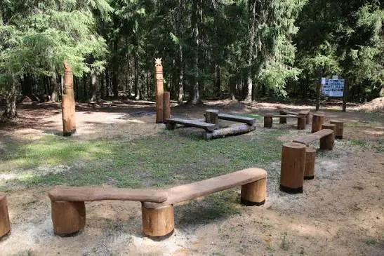
Walk actual fairy-tale sites in Novo-Kavgolovskoye Forest Park, view Svetloye Lake and cross the wooden suspension Devil’s Bridge. The short loop returns to its entrance and allows family pauses.

2.0 km 362 +39 m Easy
Meiringen to Spiez: Extended Cycling Journey via Giessbach and Two Lakes
✓ TrailTrack

Meiringen to Spiez: Extended Cycling Journey via Giessbach and Two Lakes

Bicycle · One-day

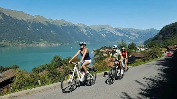
Two lakes, the real Giessbach cascade and historic Unterseen create a varied cycling day. Alternate shore stops with woodland roads and short town pauses.

52.2 km 362 +1720 m Moderate
✓ TrailTrack

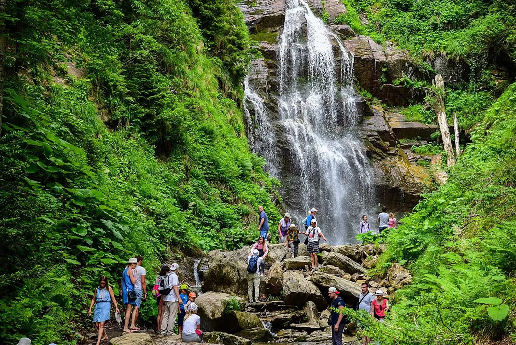
Polyana 960: Tobias Stream, the Plunge Pool and Woodland Returns

Polyana 960: Tobias Stream · Hiking · One-day

See Tobias Stream and the plunge pool within one walk on the woodland side of Polyana 960. The different approaches allow time beside the water while keeping a return to the resort level within the day.

4.1 km 362 +234 m Moderate
Gastello Above Karakol Gorge: A Technical Mountain Circuit
✓ TrailTrack

Gastello Above Karakol Gorge: A Technical Mountain Circuit

Hiking · One-day

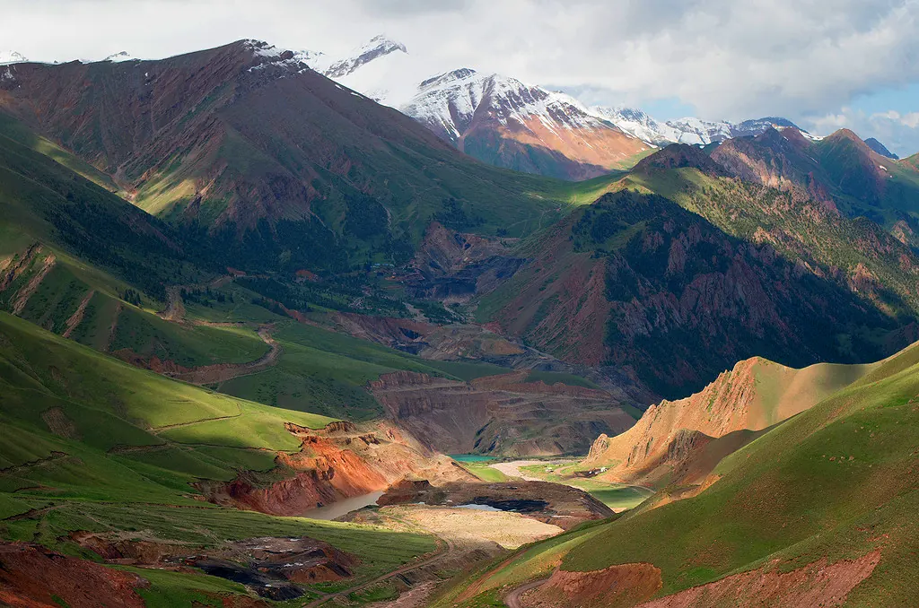
Explore Gastello and its glaciated setting as a dedicated mountain outing. It suits a trained group familiar with snow and rock travel, looking beyond valley paths.

19.0 km 357 +1303 m Hard
Kashtak Traverse to the Central Pillars — Yellow Trail via the Viewpoints
✓ TrailTrack

Kashtak Traverse to the Central Pillars — Yellow Trail via the Viewpoints

Kashtak Traverse to the Central Pillars · Hiking · One-day

Its interest is the Kashtak approach and two named viewpoints. The traverse is closed; the short Nature and Climate trail from the upper K1 chairlift station is a separate outing.

16.5 km 356 +1032 m Moderate
Kaindy to Lower Kolsay: Walking Between the Lake Gorges
✓ TrailTrack

Kaindy to Lower Kolsay: Walking Between the Lake Gorges

Hiking · Multi-day

Choose this crossing when a quick look at Kaindy’s drowned forest feels insufficient. Two lake gorges bookend a substantial walk through the Kungey Alatau.

23.5 km 351 +2512 m Moderate
Nodhalten: Short Woodland Ascent to the Mountain Road
✓ TrailTrack

Nodhalten: Short Woodland Ascent to the Mountain Road

Hiking · One-day

The short woodland link varies a mountain-road outing, taking you briefly beneath trees before emerging higher on the slope. It is most useful within a planned walking day between neighbouring paths.

0.3 km 349 +76 m Moderate
Fanes Geotrail: Armentarola, Limo Lake and Pederü
✓ TrailTrack

Fanes Geotrail: Armentarola, Limo Lake and Pederü

Fanes Geotrail: Armentarola · Hiking · One-day

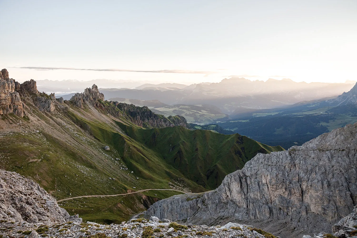
Two particular geological observation stops connect walking across Fanes with the history of the mountains. Limo Lake and Pass provide a clear upper sequence, while the Pederü descent reveals the plateau from the opposite side.

16.7 km 348 +892 m Moderate
Sofia Cascades and Saddle: From Glacier Farm via Chaget-Chat Ridge
✓ TrailTrack

Sofia Cascades and Saddle: From Glacier Farm via Chaget-Chat Ridge

Hiking · One-day

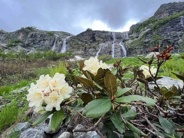
The walk combines close views of the waterfalls with a higher perspective over the Sofia gorge. From Sofia Saddle, the view reaches towards Kizgych and the peaks of the Main Caucasus Range. Returning along Chaget-Chat adds another angle on the valley. Choose this version if the pass section appeals as much as a stop beside the first cascade.

7.7 km 348 +818 m Hard
Aibga Labyrinth: down from Tundra to Zapovedny Forest
✓ TrailTrack

Aibga Labyrinth: down from Tundra to Zapovedny Forest

Hiking · One-day

Once open, Labyrinth offers a useful introduction to Rosa Khutor on foot. It links the upper interchange with the forest level and reveals the resort beyond the lift cabins. In this direction the walk feels like a gradual return from the mountain, with pauses on the more open stretches of its northern slope.

2.4 km 343 +50 m Moderate
Son-Kul and Kara-Keche with Repeated Walking Stages
✓ TrailTrack

Son-Kul and Kara-Keche with Repeated Walking Stages

Hiking · Multi-day

Spend more time on Son-Kul’s southern approaches, arrange a visit to Kambar-Ata and leave towards Kara-Keche. Repeated passages make this version more demanding on energy and overnight planning.

74.6 km 343 +1086 m Hard
Aibga’s older descent to Chervonny: from the upper slope to water
✓ TrailTrack

Aibga’s older descent to Chervonny: from the upper slope to water

Hiking · One-day

After access is agreed, this descent offers a gradual change of scene: upper slopes, woodland shade and a definite stop at Chervonny. The older name recalls snow patches, but their presence is not guaranteed every season. The confirmed finale is the waterfall; the rest of Mendelikha can remain a separate outing on open paths.

5.6 km 341 +125 m Moderate
From Blagodatnaya to Kamara-Isar and the Exterior of Object 100
✓ TrailTrack

From Blagodatnaya to Kamara-Isar and the Exterior of Object 100

Crimea · Hiking · One-day

Compare Kamara-Isar with the exterior historic side of Object 100 in one Balaklava Hills outing. Choose accessible places for unhurried viewing without entering former military structures.

7.8 km 339 +437 m Moderate
✓ TrailTrack

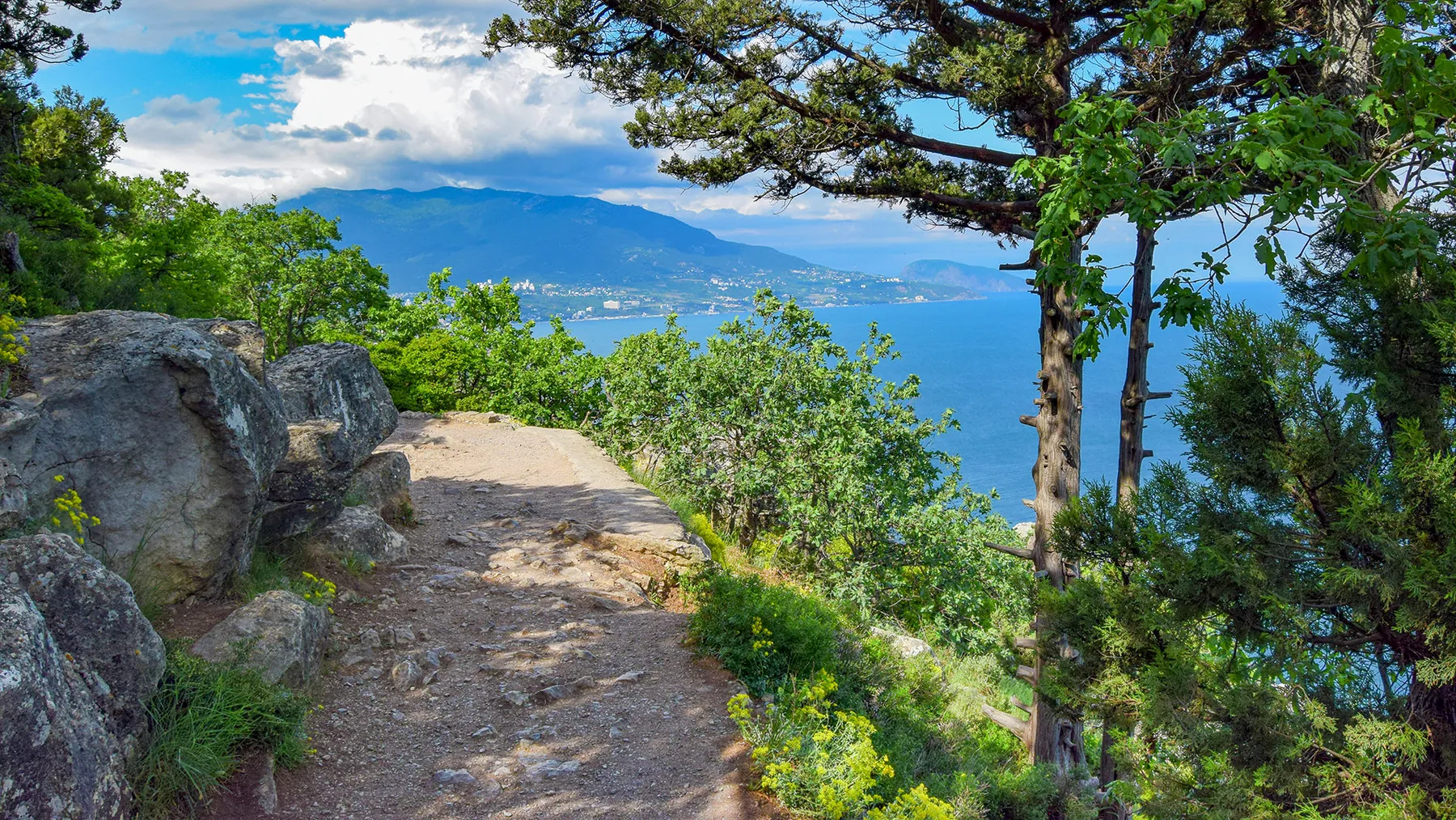
Shtangeev Trail to Stavrikaysky Ridge Viewpoint

Crimea · Hiking · One-day

Follow a sequence of named places: Vodopadnaya River, Krestovaya Rock, Devil’s Path and Stavrikaysky Ridge Viewpoint. The historic trail combines close attention to the mountainside with a concluding outlook over the Yalta side.

2.2 km 338 +549 m Moderate
Munich–Venice: Alpine Passes, Lagoon and Return Branches
✓ TrailTrack

Munich–Venice: Alpine Passes, Lagoon and Return Branches

Munich–Venice: Alpine Passes · Hiking · Multi-day

Munich and Venice’s squares, actual alpine saddles and Belluno’s gate give the journey memorable landmarks. The strongest impression comes from the changing northern valleys, rocky mountain passages, Dolomite cliffs and lagoon arrival.

865.3 km 334 +44943 m Hard
Botkin woodland crossing from the Stavri-Kaya side to the eastern exit
✓ TrailTrack

Botkin woodland crossing from the Stavri-Kaya side to the eastern exit

Crimea · Hiking · One-day

Cross the wooded slope from the Stavri-Kaya side towards the eastern approaches and experience the change from mountain bends to lower forest. This is a separate walking version after its branches are agreed.

3.7 km 333 +151 m Moderate
Warrior’s Path downhill beside Gribnoy Stream: Estasadok’s woodland corner
✓ TrailTrack

Warrior’s Path downhill beside Gribnoy Stream: Estasadok’s woodland corner

Hiking · One-day

Gribnoy Stream gives Estosadok a quiet wooded corner close to village streets. The Warrior’s Path suits a brief independent walk to mountain water without an extended ascent.

0.5 km 332 +0 m Moderate
Kvartsitny and Shoksha Stone: Lake Onega Shore to a Quarry-Road Outing
✓ TrailTrack

Kvartsitny and Shoksha Stone: Lake Onega Shore to a Quarry-Road Outing

Место для парковки · Hiking · One-day

Discover Kvartsitny through its stone-working history: an actual Quartzite Monument, permitted quarry-landscape approaches and the village’s Onega side. The outing suits an interest in connecting geology with architecture and local craft history.

4.3 km 330 +44 m Moderate
PV08: Glibaći through Draga Canyon to Ograđenica
✓ TrailTrack

PV08: Glibaći through Draga Canyon to Ograđenica

Bicycle · One-day

PV08 reveals the rural side of northern Montenegro from a bicycle. Draga Canyon gives the ride a distinct natural objective between village roads and pastures.

28.7 km 329 +1173 m Hard
Fern Trail: A Woodland Passage beside Tobias Stream
✓ TrailTrack

Fern Trail: A Woodland Passage beside Tobias Stream

Hiking · One-day

Explore the fern woodland without committing to the complete resort circuit. Tobias Stream adds a specific waterside place beside the selected western side.

1.6 km 328 +177 m Easy
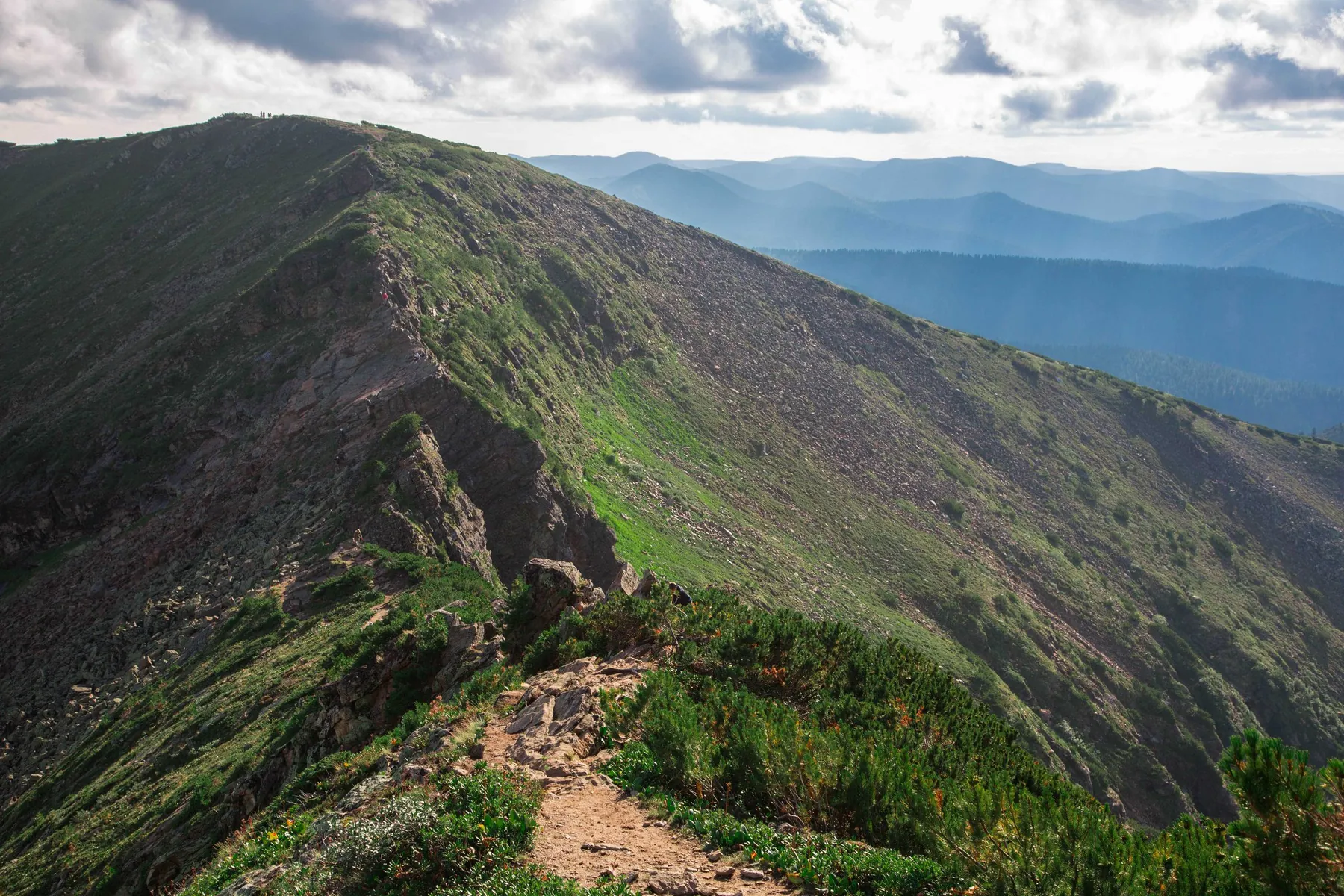
Slyudyanka to the First and Second Bare Summits before Chersky Peak
✓ TrailTrack

Slyudyanka to the First and Second Bare Summits before Chersky Peak

Hiking · Multi-day

Watch the wooded valley give way to open mountains and reach a named viewpoint summit before Chersky Peak. The locomotive near the town start adds a brief stop about Slyudyanka’s railway history.

27.1 km 327 +2039 m Moderate
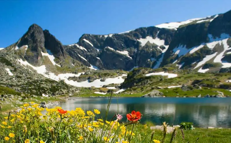
Lower Seven Rila Lakes Paths: Rilski Ezera to Dzherman Stream
✓ TrailTrack

Lower Seven Rila Lakes Paths: Rilski Ezera to Dzherman Stream

Hiking · One-day

Use the passage as a separate walk from Rilski Ezera or part of a prearranged mountain day. Lower paths and Dzherman offer places to pause without a distant ascent around the entire cirque. The departure hut gives the large mountain setting a human scale, while the watercourse connects the lower valley with the lakes above.

2.1 km 326 +203 m Moderate
Boar Trail near Sarpakha: Southward and Back
✓ TrailTrack

Boar Trail near Sarpakha: Southward and Back

Crimea · Hiking · One-day

Choose a woodland outing returning to the familiar northern side. This variant offers a clear return arrangement and two perspectives on the same corridor without promising a Sarpakha summit visit.

4.6 km 325 +350 m Moderate
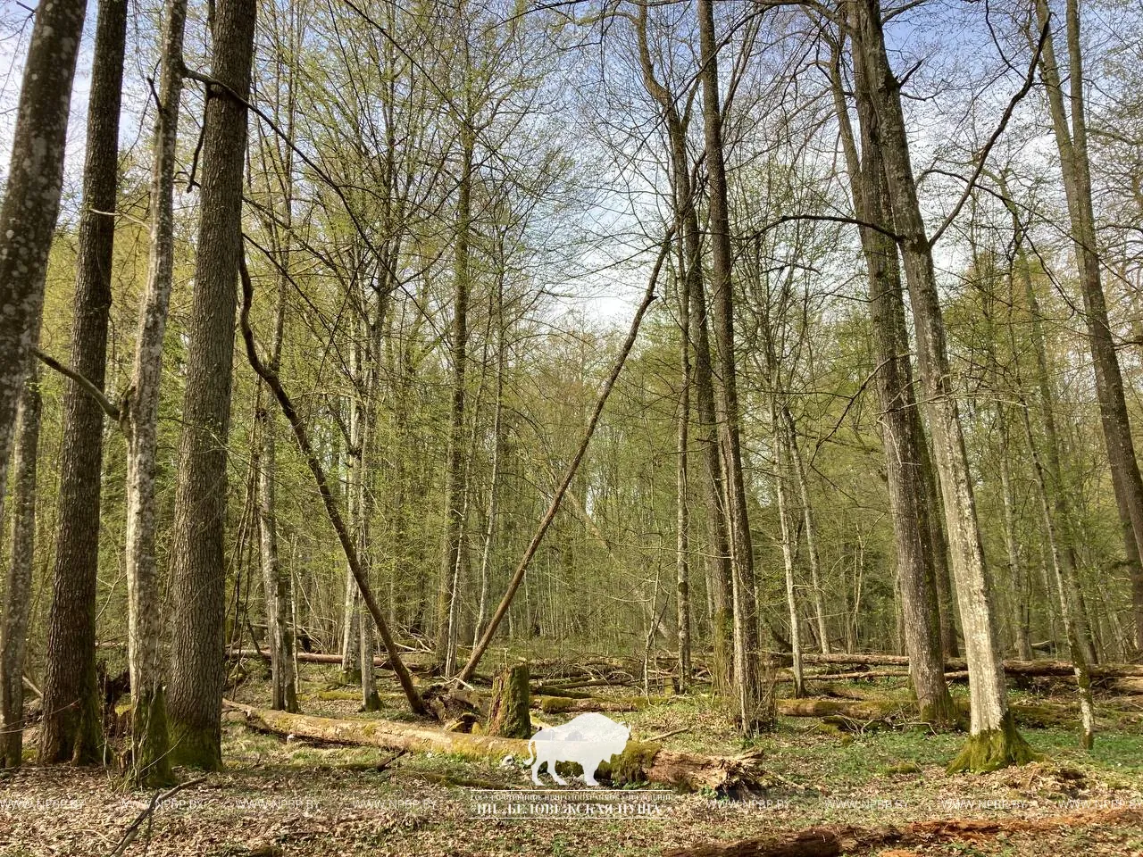
Secret Paths of the forest: a ride to Father Frost’s estate
✓ TrailTrack

Secret Paths of the forest: a ride to Father Frost’s estate

Bicycle · One-day

The appeal is the changing character of the visit: woodland roads, old trees and a fairy-tale estate created by people. Cycling brings these impressions together in a substantial day. Pause at the interpretive stops to see the story of forest conservation behind the quiet roads.

32.7 km 325 +176 m Hard
Back Page 3 of 79 Next