TrailTrack routes

Маршруты с подготовленным описанием, сложностью, покрытием и планированием визита.

Found 1895 routes
Choose a route from the list or view routes on the map.
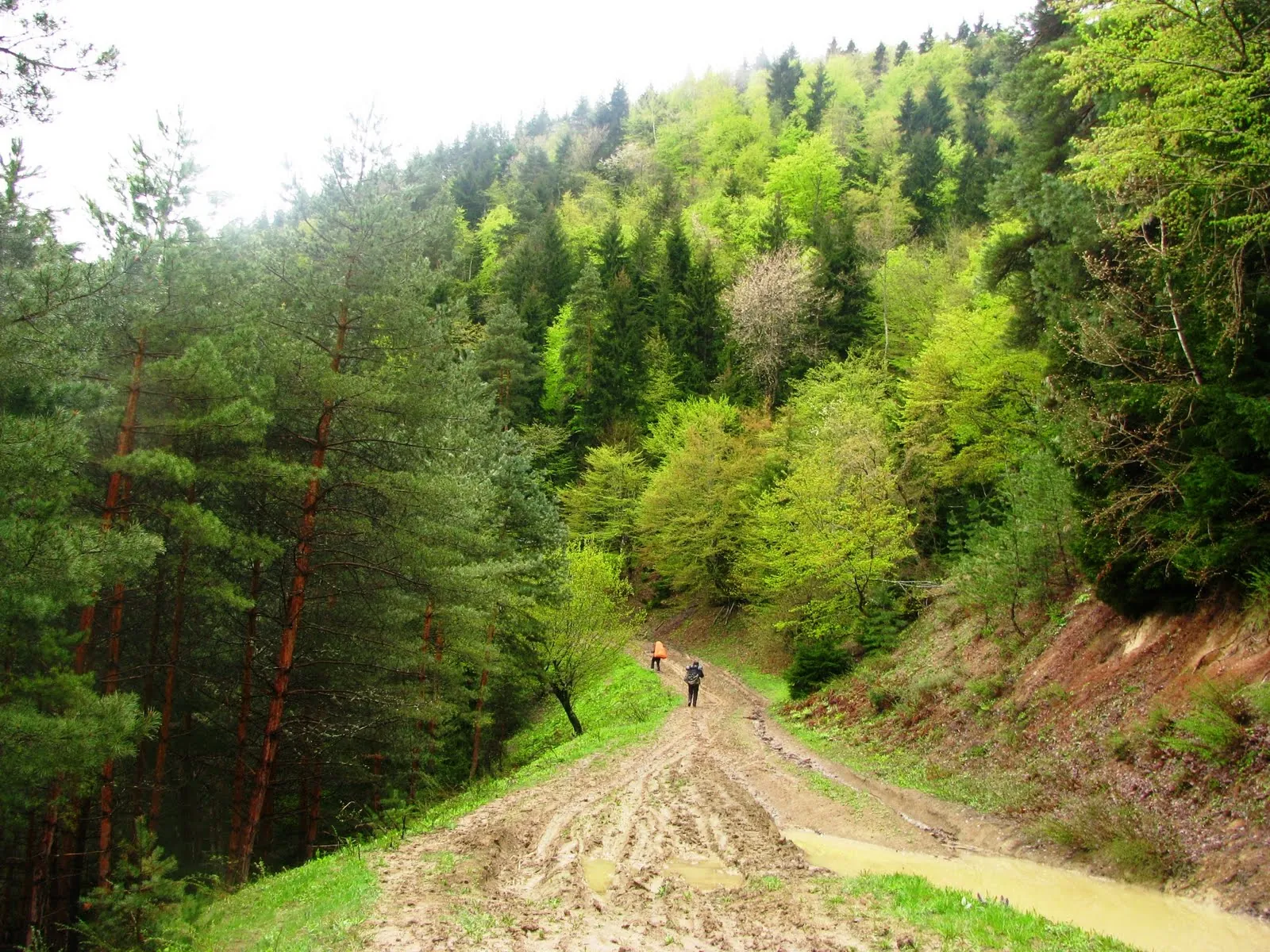
St Nino Woodland Trail above the Borjomi Visitor Centre
✓ TrailTrack

St Nino Woodland Trail above the Borjomi Visitor Centre

Hiking · One-day

The St Nino church site gives the woodland outing a historical objective. The small circuit and descent introduce the national-park edge without organising a multiday journey.

2.3 km 278 +168 m Moderate
Marghuzor to the Archamaydon via Tovasang
✓ TrailTrack

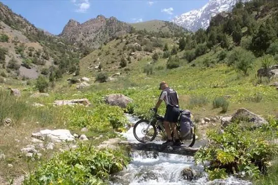
Marghuzor to the Archamaydon via Tovasang

Hiking · Multi-day

For the crossing from Marghuzor over Tovasang Pass into the Sarmad valley. This version lets the lake basin fall behind as a pastoral route leads towards the Archamaydon.

28.5 km 278 +923 m Hard
First Pillar to Manskaya Baba — Purple Trail via Cain and Abel
✓ TrailTrack

First Pillar to Manskaya Baba — Purple Trail via Cain and Abel

First Pillar to Manskaya Baba · Hiking · One-day

Its draw is Manskaya Baba's silhouette and the Cain and Abel rocks. This approach is currently closed; choose the authorised 'Nature, the Great Sculptor' walk for the Central Pillars.

5.2 km 278 +186 m Moderate
✓ TrailTrack

Boar Trail near Sarpakha: A One-Way Woodland Passage

Crimea · Hiking · One-day

Walk the Boar Trail one way as a prearranged part of a woodland day. The southern finish avoids repeating the corridor when onward exit and collection have already been confirmed.

2.4 km 277 +300 m Easy
Portuguese Way from Santa Luzia: Marnel, D. Zameiro and Peregrina
✓ TrailTrack

Portuguese Way from Santa Luzia: Marnel, D. Zameiro and Peregrina

Portuguese Way from Santa Luzia: Marnel · Hiking · Multi-day

Walk the Portuguese section before the familiar Galician starting point at Tui and compare three historic bridges: Marnel, D. Zameiro and Ponte de Lima. Each has its own rebuilding history, making separate visits more rewarding than simply calling them all Roman. In Pontevedra, the Peregrina church connects architecture with the pilgrim’s recognisable shell symbol. A longer journey makes time for small chapels as well as town squares.

365.9 km 277 +6720 m Hard
CT1: Žabljak through Sinjajevina and Komovi to the Žijovo Katuns
✓ TrailTrack

CT1: Žabljak through Sinjajevina and Komovi to the Žijovo Katuns

Hiking · Multi-day

Šiško Lake, the church at Carine and Kučki Maglić give the journey distinct memorable objectives. Changing mountain massifs and pastoral landscapes between them reveal Montenegro beyond a single resort valley.

126.8 km 277 +9158 m Hard
Maiden’s Tears beside the Old Krasnaya Polyana Road
✓ TrailTrack

Maiden’s Tears beside the Old Krasnaya Polyana Road

Hiking · One-day

This small road outing reaches a definite waterfall without a major mountain crossing. Its delicate streams reward quiet attention, with care for the nearby road.

0.8 km 277 +150 m Moderate
Breitenbodenalp to Pfanni: Descent across Pfannibach
✓ TrailTrack

Breitenbodenalp to Pfanni: Descent across Pfannibach

Hiking · One-day

The passage offers a quiet look at alpine grazing landscapes and the moving water of Pfannibach. An attentive descent reveals mountains through the everyday roads of pasture work.

1.9 km 276 +5 m Moderate
In Mark Twain’s Footsteps: Riffelalp to Riffelberg
✓ TrailTrack

In Mark Twain’s Footsteps: Riffelalp to Riffelberg

Hiking · One-day

Twain’s story and the historic Riffelalp tram give this walk a distinct theme. In the uphill direction, mountain hotels gradually appear above the meadows, with time to examine details of the old resort.

3.2 km 276 +530 m Moderate
Across Chimtarga: Alauddin Lake to Buzurg Alo
✓ TrailTrack

Across Chimtarga: Alauddin Lake to Buzurg Alo

Hiking · Multi-day

For the change of mountain scenery across Chimtarga Pass and the arrival at Buzurg Alo. Alauddin, tiny Piyola and the rock-bound Alo basin give the journey distinct chapters, with altitude and weather shaping the experience.

30.0 km 276 +1094 m Hard
Lazeshchyna through Kozmeshchyk to the Slope below Hoverla
✓ TrailTrack

Lazeshchyna through Kozmeshchyk to the Slope below Hoverla

Hiking · One-day

Get to know Kozmeshchyk and follow the gradual change from the valley towards high mountain ground. Hoverla remains the neighbouring mountain here, while the pleasure lies in a deliberate approach and time among wooded and open slopes.

20.4 km 275 +1460 m Moderate
Barroude Lakes and the Exit into the Géla Valley
✓ TrailTrack

Barroude Lakes and the Exit into the Géla Valley

Hiking · One-day

Barroude brings together neighbouring lakes and their mountain amphitheatre. Descending into Géla ends the visit in a valley rather than necessarily returning to the same high approach.

19.8 km 274 +1367 m Moderate
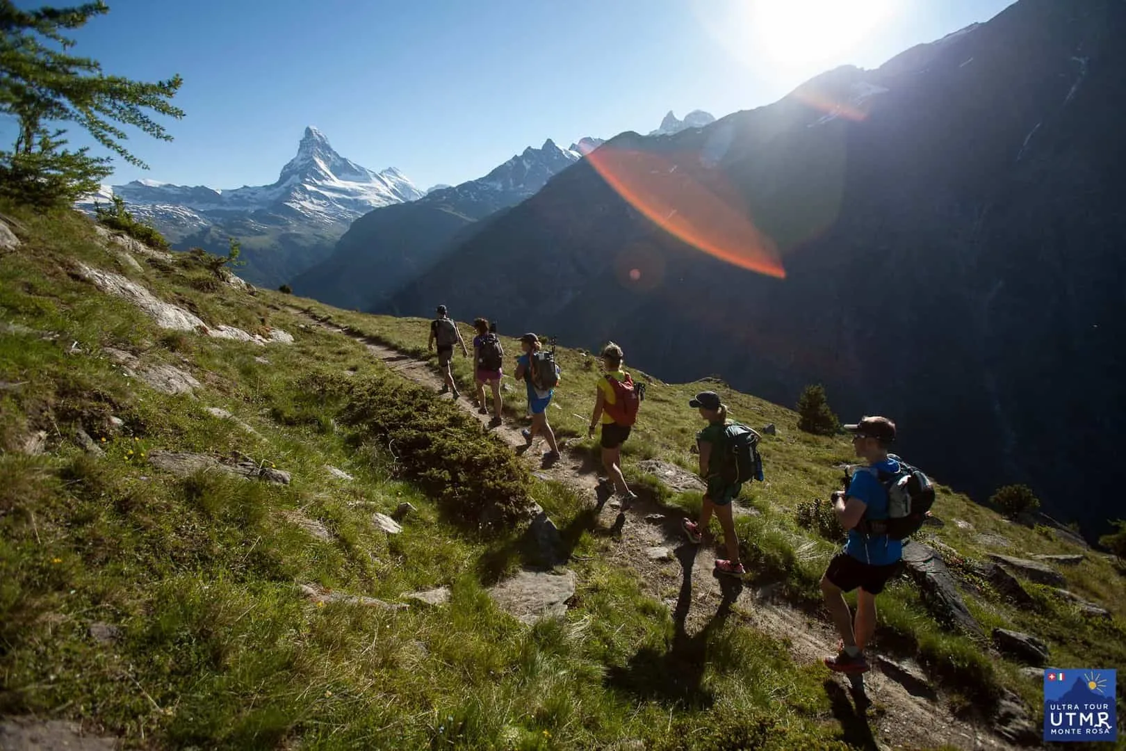
Zermatt to the Theodul Glacier: an Extended Approach with Return Sections
✓ TrailTrack

Zermatt to the Theodul Glacier: an Extended Approach with Return Sections

Hiking · One-day

The outing connects the town associated with early Alpine ascents to the glaciated high mountains beside the Matterhorn. Pause by the historic facades below, then watch the surroundings change beside mountain watercourses and open slopes. It suits prepared participants who want a guided Alpine journey from the town into glacier terrain.

27.7 km 273 +1728 m Hard
✓ TrailTrack

Above Ölüdeniz: Lower Babadağ Paths with Branches

Hiking · One-day

Add a mountain outing to a stay in Ölüdeniz without a long road journey. The appeal is discovering lower path connections on the Babadağ side and practising movement over demanding ground. Choose it with mountain experience: the short distance does not make this an easy stroll.

3.0 km 272 +476 m Hard
✓ TrailTrack

Divny Forest at Laura: towards the wooded side of Polyana 1389

Hiking · One-day

This short Laura woodland outing suits visitors who want a quiet walk after time on a resort terrace. It can fit a day on the mountain once permitted passage and the return cable car have been confirmed.

2.4 km 272 +34 m Easy
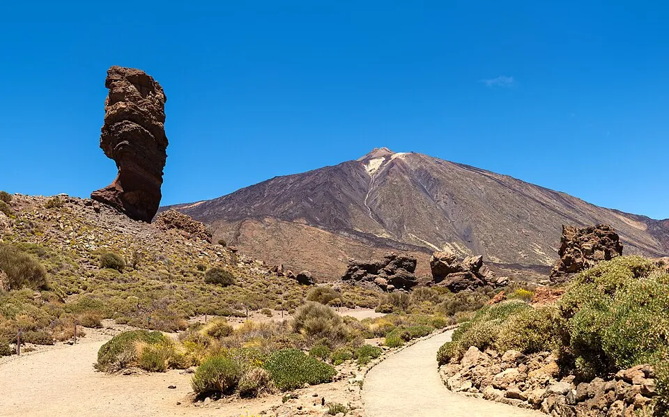
Pico Viejo Viewpoint via Chahorra to Narices del Teide
✓ TrailTrack

Pico Viejo Viewpoint via Chahorra to Narices del Teide

Hiking · One-day

Compare dark lava, a pale saddle and Pico Viejo’s exterior rim, then observe the legacy of the historical Narices del Teide eruption. Upper and roadside viewpoints reveal different sides of one volcanic landscape.

10.6 km 271 +0 m Hard
Eichhofweg: the Short Woodland Connector near Natters
✓ TrailTrack

Eichhofweg: the Short Woodland Connector near Natters

Hiking · One-day

Eichhofweg provides a quiet wooded link to Natterer-See-Weg. Include it in an individual Natters-side walk without treating neighbouring buildings or the lake as promised stops on this short passage.

0.3 km 271 +19 m Moderate
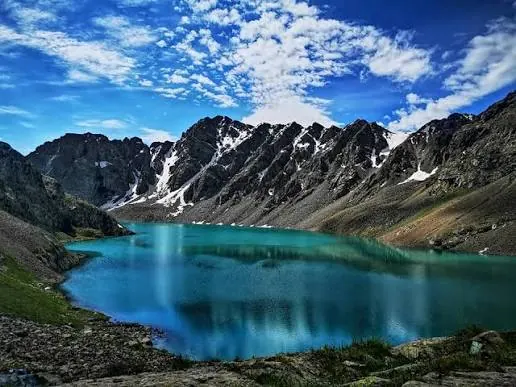
Jeti-Oguz to the Western Shore of Ala-Kul via Teleti and Panorama Pass
✓ TrailTrack

Jeti-Oguz to the Western Shore of Ala-Kul via Teleti and Panorama Pass

Hiking · Multi-day

Cross Teleti from Jeti-Oguz, reach Ala-Kul over Panorama Pass and return past Sirota Hut. This variant introduces two approaches to the lake’s western shore.

87.3 km 271 +5892 m Hard
Camino de Santiago: Tamaimo and Puerto de Santiago Branches via La Corona to Santa Cruz
✓ TrailTrack

Camino de Santiago: Tamaimo and Puerto de Santiago Branches via La Corona to Santa Cruz

Hiking · Multi-day

Build a personal journey from western village squares through La Corona and forest stops to old Santa Cruz. Local pilgrimage, Canarian history and surviving woodland corners meet along the way.

176.0 km 270 +0 m Hard
Lower Buiba Woodland Approach to Tushkanchik Pass
✓ TrailTrack

Lower Buiba Woodland Approach to Tushkanchik Pass

Hiking · One-day

Climb the specific Lower Buiba valley towards Tushkanchik Pass. Woodland paths and the open pass side show a gradual change in mountain surroundings during a distinct approach.

4.1 km 270 +362 m Moderate
Upper Ordesa to Bujaruelo via Soaso
✓ TrailTrack

Upper Ordesa to Bujaruelo via Soaso

Hiking · Multi-day

Link upper Ordesa with a different valley, Bujaruelo. San Nicolás chapel’s ruins provide a specific historic stop after the mountain section.

41.0 km 270 +1666 m Moderate
Psia Trawka to Murowaniec and Back through Sucha Woda
✓ TrailTrack

Psia Trawka to Murowaniec and Back through Sucha Woda

Hiking · One-day

Murowaniec gives the forest walk a particular historical destination. Returning along the known road leaves time to study the valley without adding another pass or a different mountain descent.

8.3 km 270 +409 m Moderate
Bahnhofstrasse: St Mauritius Church to Zermatt Station
✓ TrailTrack

Bahnhofstrasse: St Mauritius Church to Zermatt Station

Hiking · One-day

A compact walk connects two stories of Zermatt: parish life around St Mauritius and the growth of mountain tourism around Monte Rosa. In clear weather, the church entrance offers a Matterhorn view; the hotel’s façade carries Whymper’s plaque. The street rewards a careful look without requiring a separate mountain outing.

0.5 km 270 +6 m Easy
Eklizi-Burun and a crossing to Chatyr-Dag’s eastern edge
✓ TrailTrack

Eklizi-Burun and a crossing to Chatyr-Dag’s eastern edge

Crimea · Hiking · One-day

Visit Chatyr-Dag’s western summit and cross its upper plateau towards the eastern side. Open space, rocky terrain and Eklizi-Burun’s panorama provide the main experience.

6.6 km 269 +145 m Moderate
Back Page 8 of 79 Next