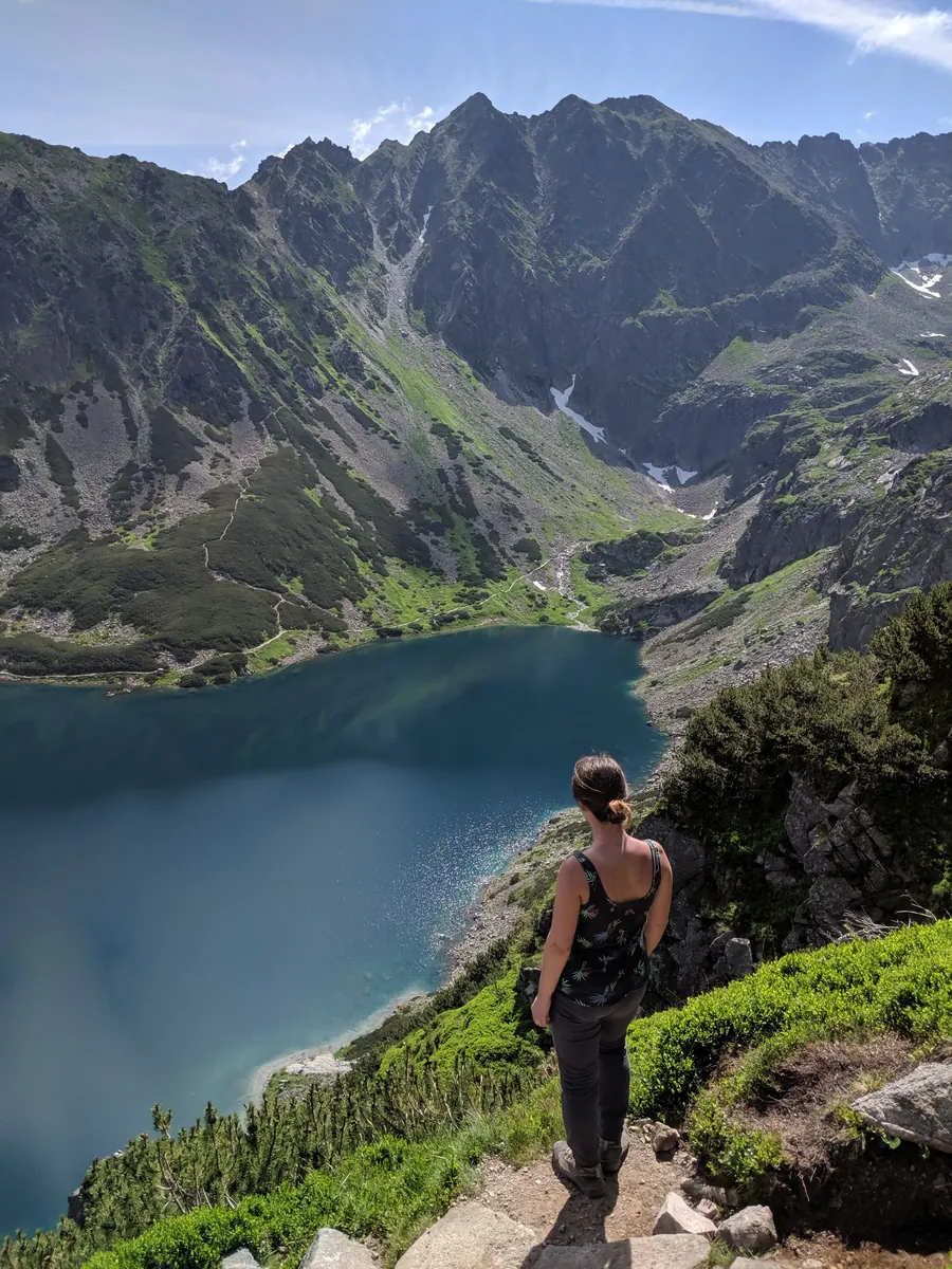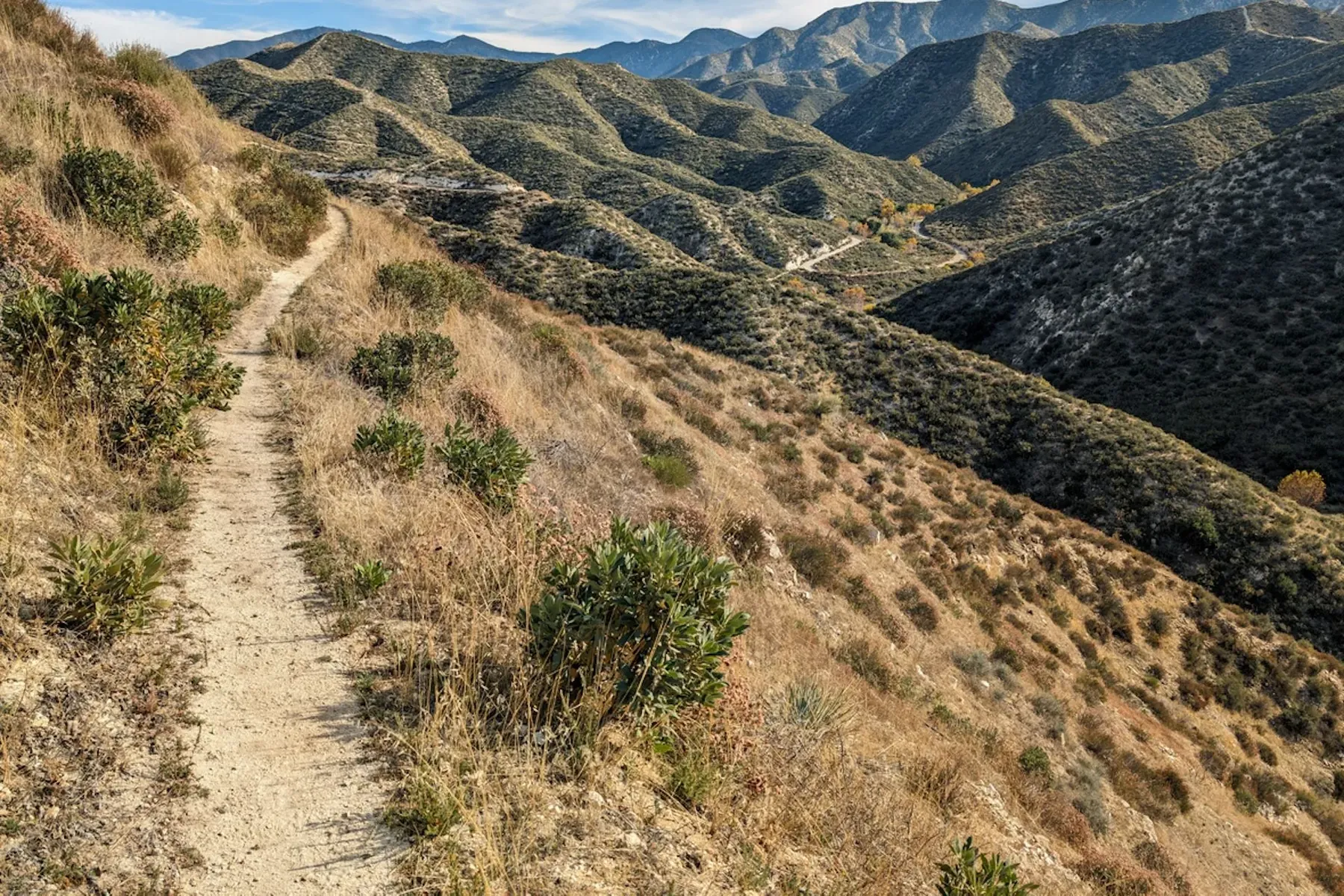
Route khrebta Tramuntana: [CIMA IB12] Coll de Soller - Soller
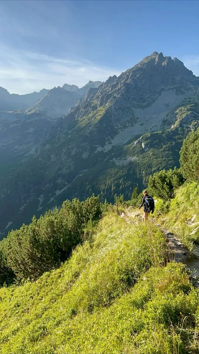
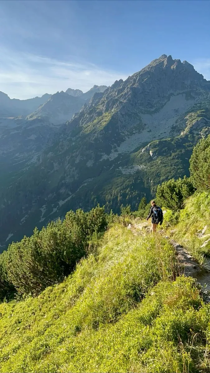
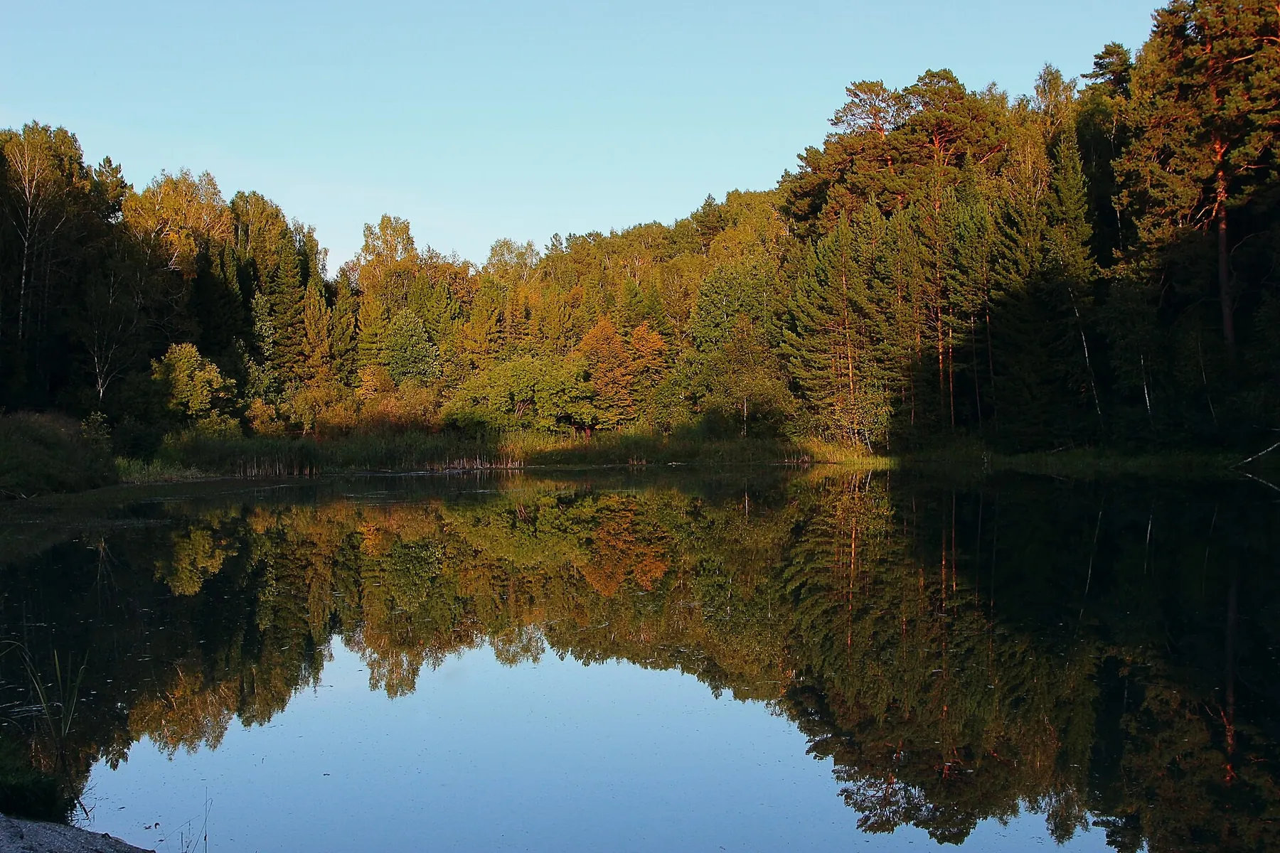
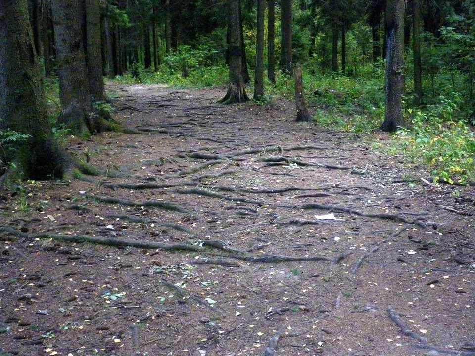
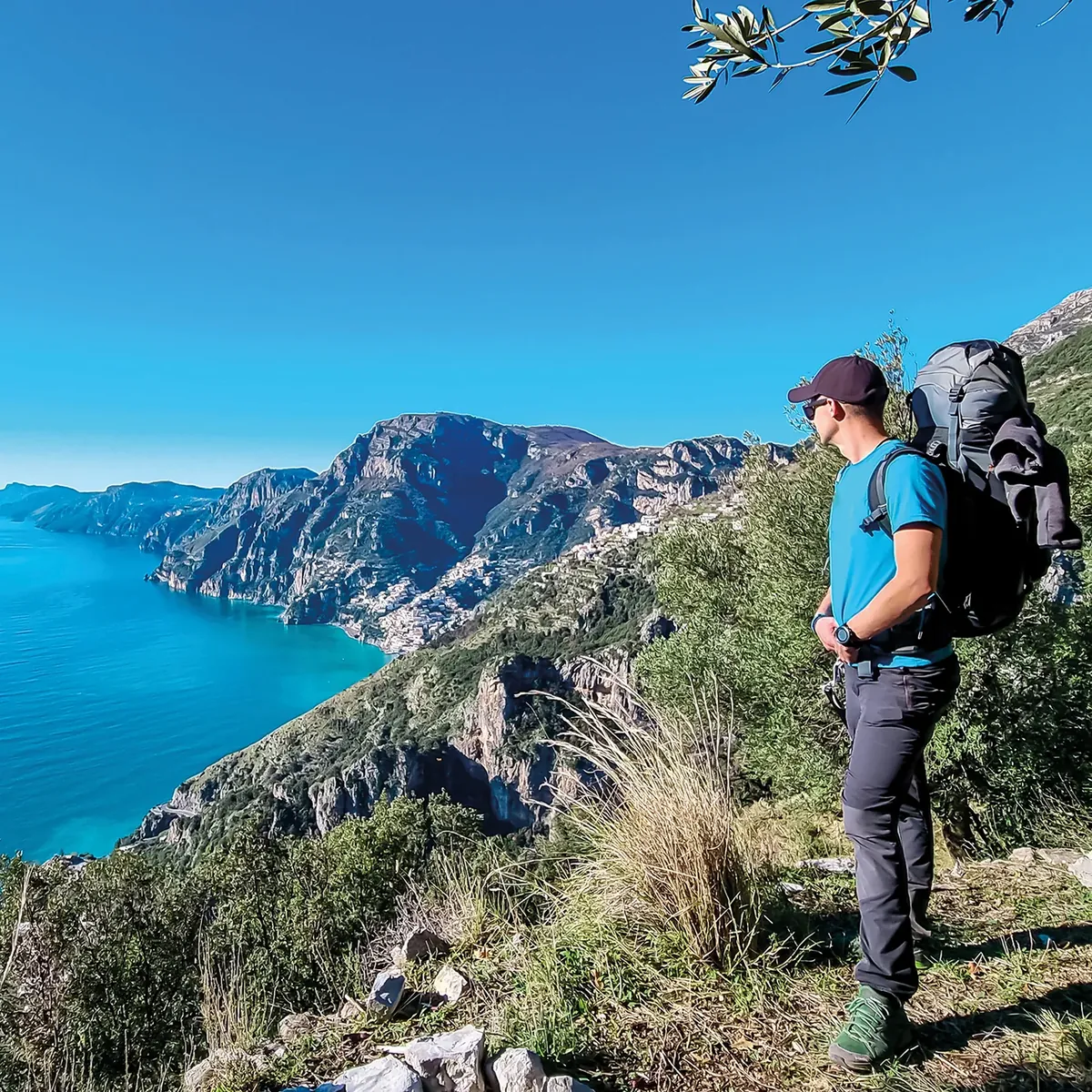
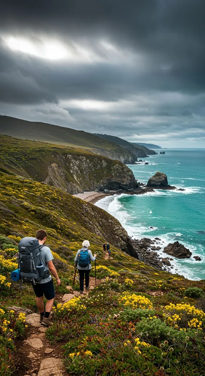
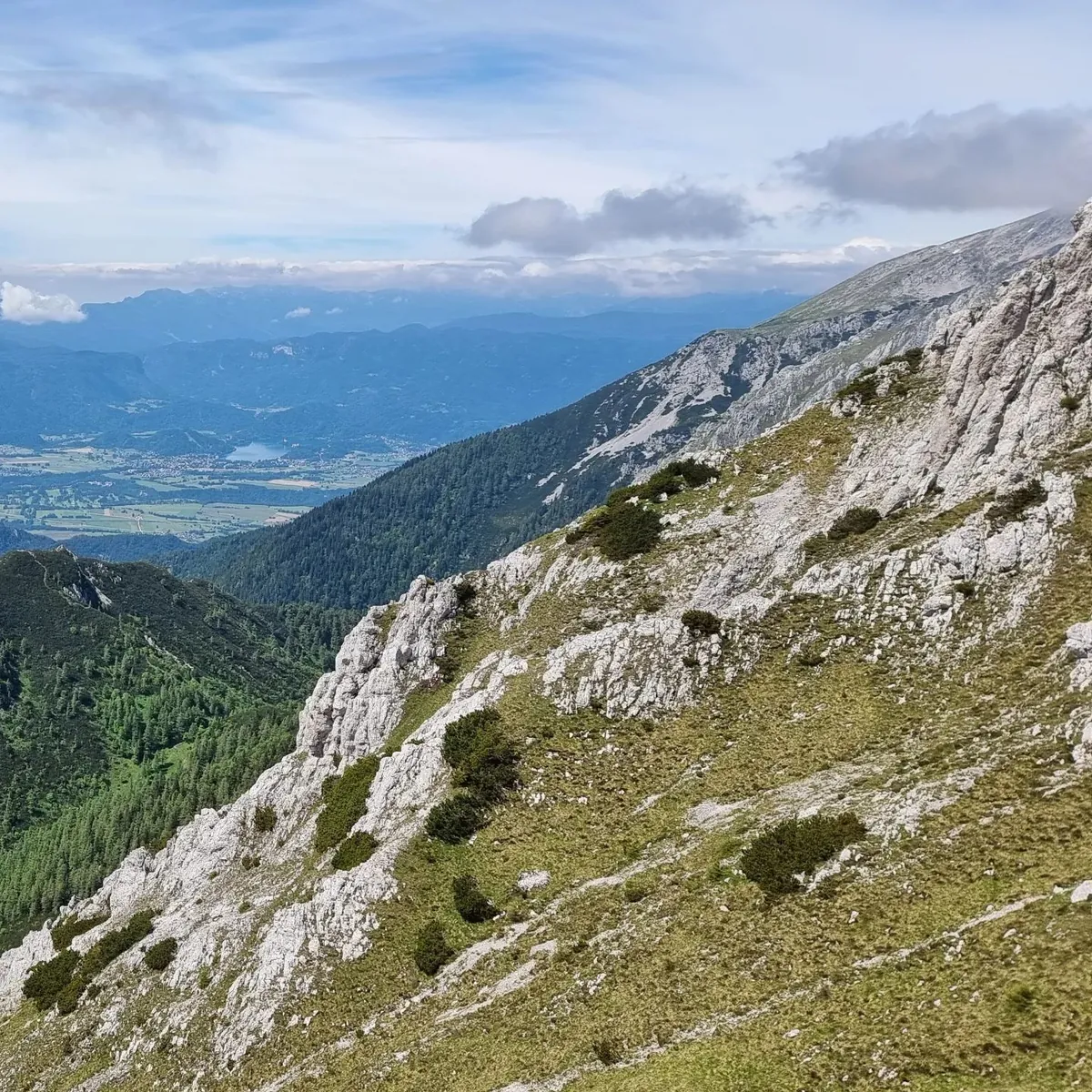
Key places on the way include Sóller and Serra de Tramuntana. Woodland and valley sections gradually give way to mountain meadows, rocky slopes and open views.
Маршруты с подготовленным описанием, сложностью, покрытием и планированием визита.
Key places on the way include Sóller and Serra de Tramuntana. Woodland and valley sections gradually give way to mountain meadows, rocky slopes and open views.
Notable places along the way include Rosa Khutor, Krasnaya Polyana, and Aibga Ridge. Woodland and valley sections gradually give way to mountain meadows, rocky slopes and open views.
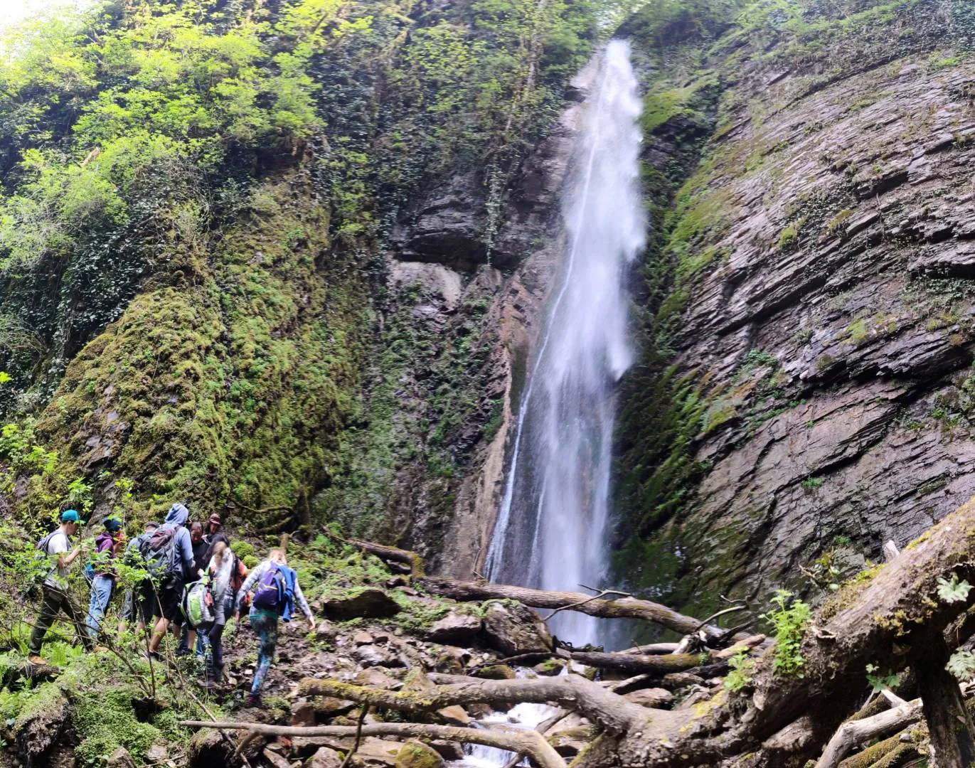
Among the main landmarks are Polikarya Waterfall, Krasnaya Polyana, and Aibga Ridge. Woodland and valley sections gradually give way to mountain meadows, rocky slopes and open views.
The main points along the way are Levada do Barreiro and Madeira laurel forest. Woodland and local roads alternate with bays, beaches and open coastal views.
The track to the lake is 27 km long, with 1,986 m of ascent and 1,637 m of descent. The route is moderately difficult. A dirt road runs up the Kurmenty Gorge and is passable only by high-clearance 4×4 vehicles.
Key places on the way include Ordesa y Monte Perdido National Park, Brèche de Roland, and Gavarnie. Woodland and valley sections gradually give way to mountain meadows, rocky slopes and open views.
Key places on the way include Zorlar, Lycian Way, and Faralya. Natural areas, small settlements and local landmarks alternate along the way.
Multi-day hiking with clear details and difficulty hard.
The main points along the way are Auland, Leiblfing, and Innsbruck. Woodland and valley sections gradually give way to mountain meadows, rocky slopes and open views.
Key places on the way include Innsbruck and Nordkette. Woodland and valley sections gradually give way to mountain meadows, rocky slopes and open views.
Notable places along the way include Eidsbugarden, Jotunheimen, and Gjende. Small towns, local roads and natural areas alternate along the way.
The main points along the way are Jesenice, Triglav National Park, and Vršič Pass. Woodland and valley sections gradually give way to mountain meadows, rocky slopes and open views.
Among the main landmarks are Staničev dom, Cmir, and Triglav National Park. Woodland and valley sections gradually give way to mountain meadows, rocky slopes and open views.
The main points along the way are Schronisko PTTK w Dolinie Pięciu Stawów Polskich, Schronisko PTTK przy Morskim Oku, and Tatra National Park. Woodland and valley sections gradually give way to mountain meadows, rocky slopes and open views.
Notable places along the way include Jotunheimen and Gjende. Woodland and valley sections gradually give way to mountain meadows, rocky slopes and open views.
One-day hiking with clear details and difficulty moderate.
This Ergaki hiking route leads to Hanging Rock, then crosses Jerboa Pass and continues to Lake Svetloye.
Among the main landmarks are Kostrych, Chornohora, and Hoverla. Woodland and valley sections gradually give way to mountain meadows, rocky slopes and open views.
One-day hiking with clear details and difficulty moderate.
The main points along the way are Ordesa y Monte Perdido National Park and Brèche de Roland. Woodland and valley sections gradually give way to mountain meadows, rocky slopes and open views.
One-day hiking with clear details and difficulty easy.
The main points along the way are Þórsmörk, Eyjafjallajökull volcano, and Cros Valley. Vegetation gradually gives way to lava fields, dark rock and open volcanic ground.
The main points along the way are Unnamed Waterfall, Krasnaya Polyana, and Aibga Ridge. Woodland and valley sections gradually give way to mountain meadows, rocky slopes and open views.