TrailTrack routes

Маршруты с подготовленным описанием, сложностью, покрытием и планированием визита.

Found 1895 routes
Choose a route from the list or view routes on the map.
Likani Valley: a Woodland Walk above Likaniskhevi
✓ TrailTrack

Likani Valley: a Woodland Walk above Likaniskhevi

Hiking · One-day

This Likani outing brings its named river valley and enclosing woodland into one mountain day. Choose it for an introduction to the national park beyond central Borjomi, with time to walk the entire forest passage.

8.2 km 296 +696 m Moderate
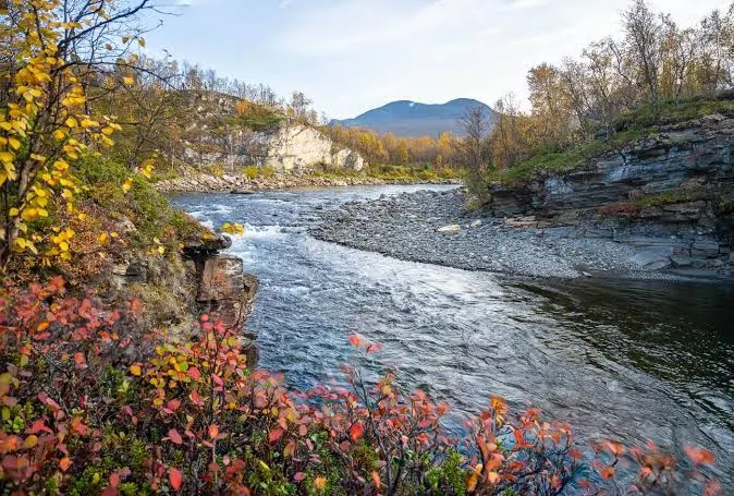
Njakajaure and Marmorbrottet: Lake and Dolomite in Abisko
✓ TrailTrack

Njakajaure and Marmorbrottet: Lake and Dolomite in Abisko

Hiking · One-day

Spend a quiet day noticing Abisko’s contrasts: woodland and open heath, pale dolomite at Marmorbrottet and water at Njakajaure. Bring binoculars if you enjoy birdwatching; a patient pause can be rewarding, though a particular species is never guaranteed.

7.3 km 296 +18 m Moderate
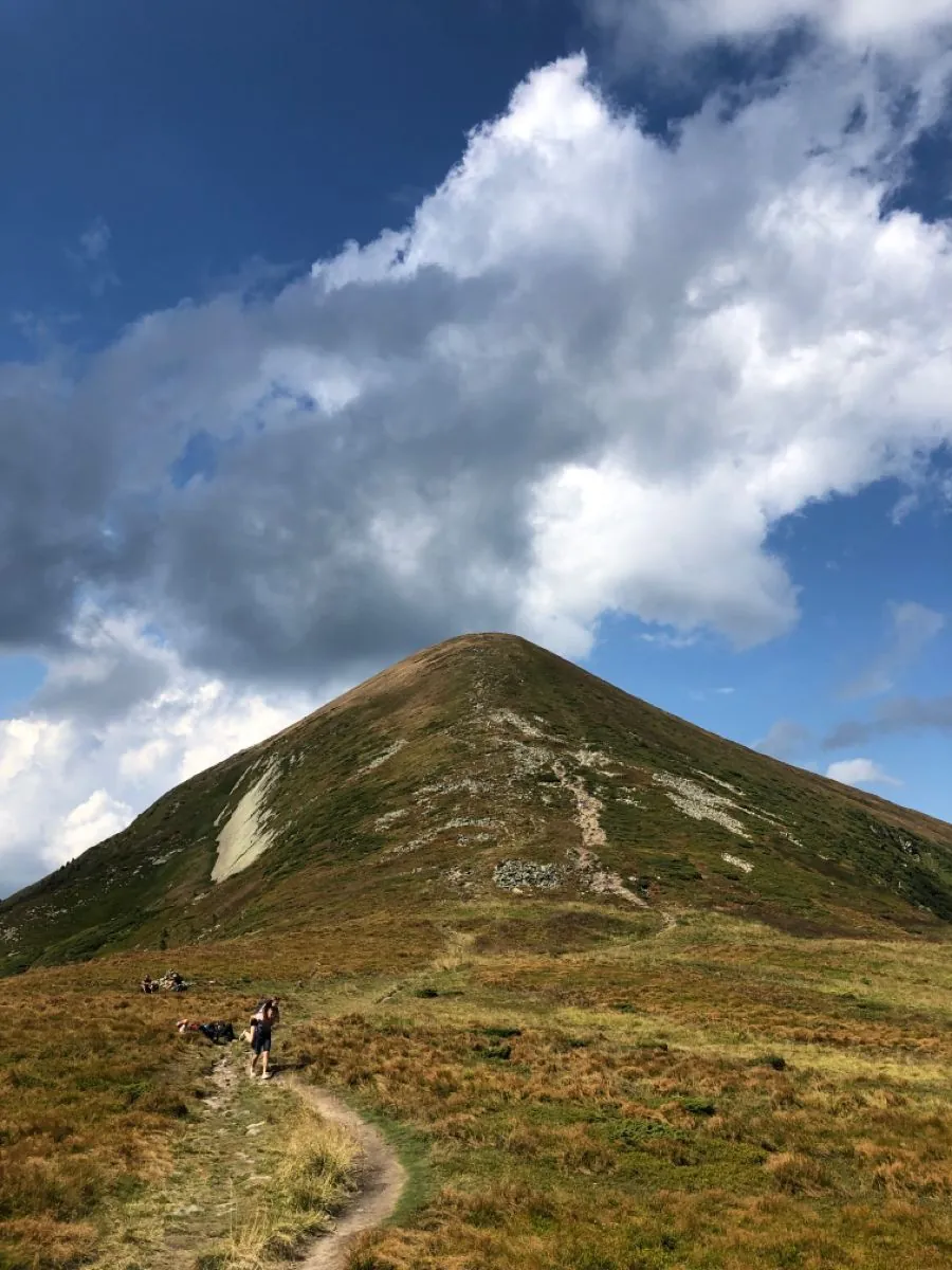
The Blue Hoverla Path with Forest Returns
✓ TrailTrack

The Blue Hoverla Path with Forest Returns

Hiking · One-day

The blue approach reveals Hoverla during the climb and revisits part of the woodland from the opposite direction. The summit provides a particular destination, while the longer outing rewards care at forest junctions.

6.3 km 295 +1191 m Moderate
Millwood in Grizedale: the Sculpture Circle with an Upper Ascent
✓ TrailTrack

Millwood in Grizedale: the Sculpture Circle with an Upper Ascent

Hiking · One-day

Combine a short forest outing with specific open-air artworks. The Ancient Forester sets the atmosphere near the departure, while the hillside bench encourages a pause to look more closely at the trees. The forest centre or café can be visited separately afterwards when open.

2.3 km 295 +103 m Moderate
Iceberg to Kholodnoye: the Lakes of Cirque 3
✓ TrailTrack

Iceberg to Kholodnoye: the Lakes of Cirque 3

Hiking · One-day

These lakes bring avalanche landforms, snow and mountain water together. Their changing basins are the attraction, without a promise of a permanently blue surface.

0.8 km 295 +1 m Moderate
✓ TrailTrack

Woodland circuit through Yew Gorge from Angarsky Pass

Crimea · Hiking · One-day

Walk through the actual Yew Gorge and compare its wooded cleft with Chatyr-Dag’s open eastern slope. Returning towards the pass connects these different landscapes in one walking circuit.

14.7 km 294 +1086 m Moderate
✓ TrailTrack

Chaukhi Lake and Juta: A Valley Walk beneath the Rocky Peaks

Hiking · One-day

Spend time beside Chaukhi Lake and see the rocky massif from the valley above Juta. Returning along a familiar section offers a chance to compare morning and later light on the mountain faces.

7.2 km 294 +383 m Moderate
✓ TrailTrack

Yavorova Glade to Guzeripl Pass: the Northern Approach

Hiking · One-day

Yavorova Glade and its mountain woodland approach form a distinct outing towards Guzeripl Pass’s northern side. Explore this part of the massif without a compulsory Fisht Shelter continuation.

5.0 km 294 +523 m Moderate
Sebastian Kandler: Woodland Branches to Arzler Alm and Steigerruhe
✓ TrailTrack

Sebastian Kandler: Woodland Branches to Arzler Alm and Steigerruhe

Hiking · One-day

Arzler Alm gives the forest outing a clear intermediate destination, followed by the Steigerruhe viewing stop near the finish. Moving from narrow paths to Hungerburg combines woodland walking with the church exterior.

7.3 km 293 +622 m Moderate
✓ TrailTrack

From Angar-Burun down Juniper Trail towards Onyx

Crimea · Hiking · One-day

Visit Angar-Burun and follow the change from an exposed summit to the lower plateau while descending towards Onyx. The repeated summit-side passages give time to examine the massif’s eastern edge.

13.2 km 292 +301 m Moderate
Col del Teide to Minas de San José through Montaña Blanca Lava Fields
✓ TrailTrack

Col del Teide to Minas de San José through Montaña Blanca Lava Fields

Hiking · One-day

Walk the lower volcanic connection from Col del Teide to Minas de San José. Montaña Blanca’s base lavas and the actual later viewpoint reveal contrasting neighbouring volcanic forms.

7.1 km 292 +0 m Easy
Obersteinberg to Wilde Egg: a Short Mountain Descent
✓ TrailTrack

Obersteinberg to Wilde Egg: a Short Mountain Descent

Hiking · One-day

Include Obersteinberg in an outing through the rear Lauterbrunnen valley and make an unhurried transition from the mountain inn to the lower junctions. The remote walking-only guesthouse and its setting add interest. Arrange an indoor stop during its operating season; by October the normal published season has ended.

1.2 km 292 +64 m Moderate
✓ TrailTrack

Love Gazebo above Krasnaya Polyana: a woodland circuit beside private grounds

Hiking · One-day

With access confirmed, this area shows the meeting of Krasnaya Polyana’s wooded slope and older resort history. The Love Gazebo remains an appealing destination for a permitted walk, subject to private-ground visitor rules.

6.6 km 292 +448 m Moderate
Mendelikha gorge: seven waterfalls and time beside the cascades
✓ TrailTrack

Mendelikha gorge: seven waterfalls and time beside the cascades

Hiking · One-day

The neighbouring cascades differ enough to reward close attention: even the small Snezhnoye Ruslo fall changes how you see tall Golden. Repeated stops offer time to find a favourite spot and simply stay beside the water. Save the complete seven-fall visit for confirmed opening of every branch.

6.4 km 292 +523 m Moderate
Polyana 960 Pool and Rzhanoy Stream: Woodland Branches towards Polikarya
✓ TrailTrack

Polyana 960 Pool and Rzhanoy Stream: Woodland Branches towards Polikarya

Hiking · One-day

Compare the lower woodland beside Tobias Stream and the pool with the approach to Rzhanoy Stream. Choose this outing for an attentive visit to several resort branches with a return planned in advance.

10.8 km 292 +1700 m Moderate
Tushkanchik Ranger Station to Svetloe and Back through the Forest
✓ TrailTrack

Tushkanchik Ranger Station to Svetloe and Back through the Forest

Hiking · One-day

Walk from the ranger-station side towards a definite lake destination and return to the same lower approach. Svetloe provides a clear woodland stopping point, while the mountains above the lake do not require adding a summit ascent.

12.9 km 291 +583 m Moderate
Tatzlwurm: Extended Circuit via Mühlau and Hungerburg
✓ TrailTrack

Tatzlwurm: Extended Circuit via Mühlau and Hungerburg

Hiking · One-day

Explore the Mühlau woodland edge and Hungerburg in one outing. The actual gorge crossing and church exterior provide two specific stops, while repeated branches make this version longer.

10.8 km 291 +1364 m Moderate
Caucasian Trail in Kabardino-Balkaria: Mountain Valleys towards Balk-Bashi
✓ TrailTrack

Caucasian Trail in Kabardino-Balkaria: Mountain Valleys towards Balk-Bashi

Hiking · Multi-day

Changing valleys and old inter-valley paths reveal Balkaria step by step. Eltyubyu’s necropolis adds human history to the mountain saddles, while Balk-Bashi introduces the high-mountain landscape north of Elbrus.

256.9 km 290 +15054 m Hard
Fusine to Ledine: the Extended Mountain Variant via Zacchi and Svabezza
✓ TrailTrack

Fusine to Ledine: the Extended Mountain Variant via Zacchi and Svabezza

Hiking · Multi-day

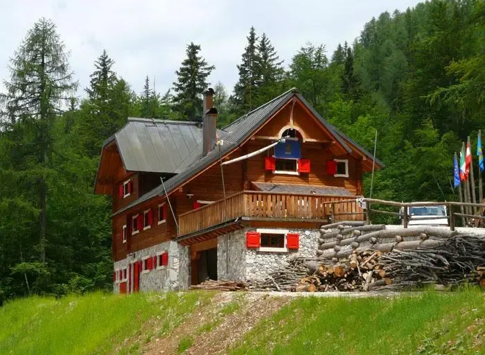
The area combines a stone-and-timber mountain hut, Svabezza’s wooded viewpoint and Ledine’s seasonal basin. It offers a transition from Fusine’s mountain surroundings into the valley on the Slovenian side. Plan a visit after checking the current diversion; the presence of old cables does not establish a usable passage.

20.5 km 290 +1251 m Hard
Braga to Santiago through the Geira: Roman Crossings and Pontevea Bridge
✓ TrailTrack

Braga to Santiago through the Geira: Roman Crossings and Pontevea Bridge

Hiking · Multi-day

Walk from Braga towards Compostela through two historical stories: the Roman Geira and Ribeiro’s wine-carrier roads. São Miguel’s wooden crossing is interesting for its combination of modern rebuilding and surviving old masonry. Pontevea adds a different medieval river crossing, while Mazarelos Gate provides a recognisable city landmark near the journey’s conclusion.

236.7 km 289 +8130 m Hard
✓ TrailTrack

Mikaszówka to Grodno: August Velo and the Closed Crossing

Bicycle · Multi-day

Explore a historical cycle direction linking Polish village architecture with Belarusian Augustów Canal locks. While the crossing remains closed, select only an independently authorised portion with its own departure and ending.

70.7 km 289 +498 m Moderate
Lake of Love and Revunok: The Morg-Syrty Descent to Arkhyz
✓ TrailTrack

Lake of Love and Revunok: The Morg-Syrty Descent to Arkhyz

Hiking · One-day

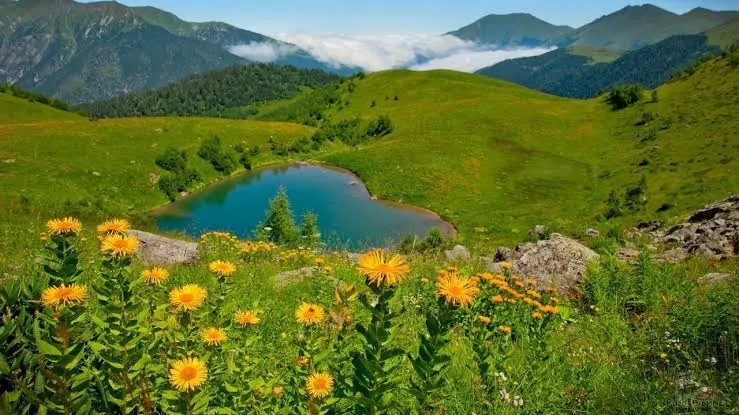
The geographical appeal lies in the changing setting: the heart-shaped lake, the area below Arkhyz Saddle, Revunok Stream and a wooded descent towards the village. Unlike the familiar uphill outing from Arkhyz, this version begins high beside the lake. Under the current prohibition, choose an officially open route and reconsider this direction only if its access regime changes.

9.2 km 289 +227 m Moderate
Upper Sámara Path to Cuevas Negras Exterior Scarps
✓ TrailTrack

Upper Sámara Path to Cuevas Negras Exterior Scarps

Hiking · One-day

Observe exterior lava forms around actual Cuevas Negras and neighbouring Cruz de Tea within an open volcanic landscape. The appeal is observation from the path while protecting the closed cave environment.

2.2 km 288 +0 m Moderate
Borjomi Adventure Trail: Woodland Section beside the Sulfur Pools
✓ TrailTrack

Borjomi Adventure Trail: Woodland Section beside the Sulfur Pools

Hiking · One-day

The sulfur pools give the woodland outing a specific riverside objective. This short section reveals Borjomula beyond the familiar town promenade once access and the water crossing have been checked.

3.3 km 288 +488 m Moderate
Back Page 6 of 79 Next