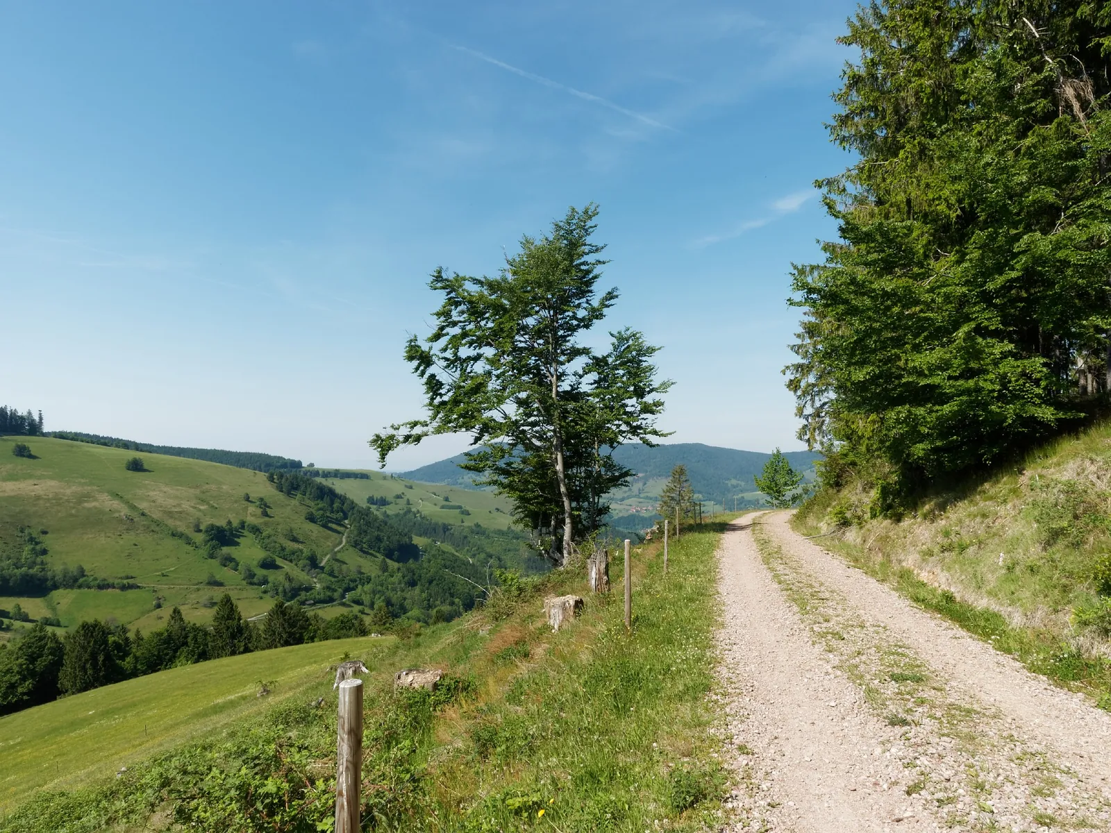
Panoramaweg
A short outing of about 1.4 km through Tyrol and the Innsbruck area, with the main interest in forest climbs, alpine meadows and sections near cable cars.
Verified routes with descriptions, difficulty, surface details and trip planning.
A short outing of about 1.4 km through Tyrol and the Innsbruck area, with the main interest in forest climbs, alpine meadows and sections near cable cars.
A practical route for discovering Krasnaya Polyana and Rosa Khutor: about 15.9 km, recognisable landmarks and a landscape that changes gradually along the way.
A long stage or multi-day section of about 226.3 km through Ecrins and Oisans, with the main interest in alpine valleys, huts, passes and glacier views.
A scenic route in the Central Caucasus where access, distance and terrain can be planned in advance without losing the feeling of a real walk.
A full day walk of about 13.9 km through the Carpathians, with the main interest in forest paths, ridges, meadows and mountain villages.
A full day walk of about 11.8 km through the Lycian coast, with the main interest in Mediterranean paths, coves, ruins and rocky slopes.
A scenic route in the Lake District where access, distance and terrain can be planned in advance without losing the feeling of a real walk.
A short outing of about 3.7 km through the Lake District, with the main interest in fells, lakes, stone walls, valleys and village paths.
A long day route of about 30.2 km through the Bernese Oberland, with the main interest in valley paths, lake approaches, climbs and glacier panoramas.
A scenic route in the Bernese Oberland where access, distance and terrain can be planned in advance without losing the feeling of a real walk.
This is a linear route of about 1.7 km in Tyrol and the Innsbruck area, suitable for travellers who want a clear route plan rather than a random walk.
This is a linear route of about 70.7 km in Grodno Region and the Augustow Canal, suitable for travellers who want a clear route plan rather than a random walk.
This is a loop route of about 2.5 km in the Dolomites, suitable for travellers who want a clear route plan rather than a random walk.
A practical route for discovering Icelandic highlands: about 6 km, recognisable landmarks and a landscape that changes gradually along the way.
A scenic route in Ecrins and Oisans where access, distance and terrain can be planned in advance without losing the feeling of a real walk.
A practical route for discovering Kolsai and Kaindy Lakes: about 23.5 km, recognisable landmarks and a landscape that changes gradually along the way.
A short outing of about 1.7 km through the Bernese Oberland, with the main interest in valley paths, lake approaches, climbs and glacier panoramas.
This is a linear route of about 0.6 km in the Bernese Oberland, suitable for travellers who want a clear route plan rather than a random walk.
A full day walk of about 7.3 km through the Bernese Oberland, with the main interest in valley paths, lake approaches, climbs and glacier panoramas.
A practical route for discovering Tyrol and the Innsbruck area: about 1.9 km, recognisable landmarks and a landscape that changes gradually along the way.
A scenic route in Tyrol and the Innsbruck area where access, distance and terrain can be planned in advance without losing the feeling of a real walk.
A short outing of about 1.3 km through Tyrol and the Innsbruck area, with the main interest in forest climbs, alpine meadows and sections near cable cars.
This is a linear route of about 0.5 km in Krasnaya Polyana and Rosa Khutor, suitable for travellers who want a clear route plan rather than a random walk.
This is a linear route of about 4 km in Tenerife and Teide National Park, suitable for travellers who want a clear route plan rather than a random walk.