TrailTrack routes

Маршруты с подготовленным описанием, сложностью, покрытием и планированием визита.

Found 1895 routes
Choose a route from the list or view routes on the map.
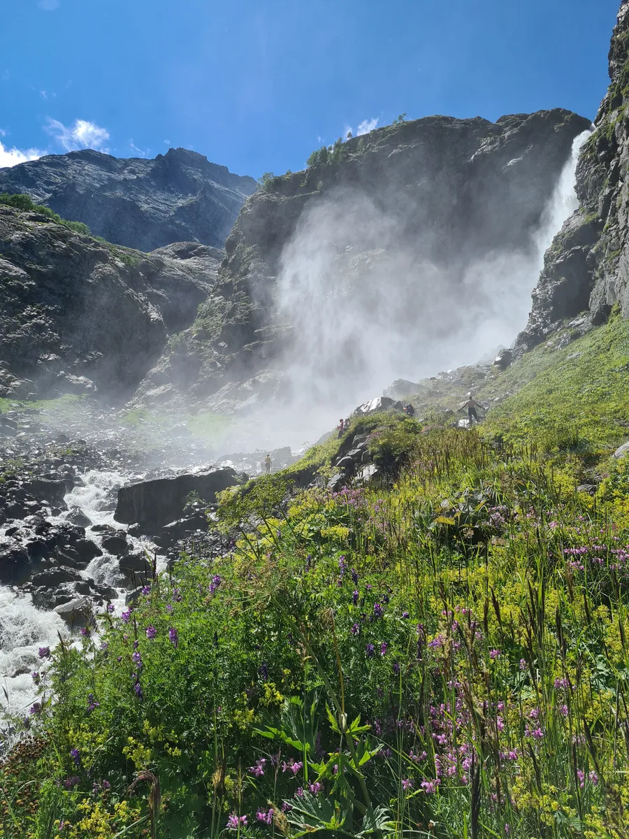
From Polikarya to the lift: returning after the waterfall visit
✓ TrailTrack

From Polikarya to the lift: returning after the waterfall visit

Hiking · One-day

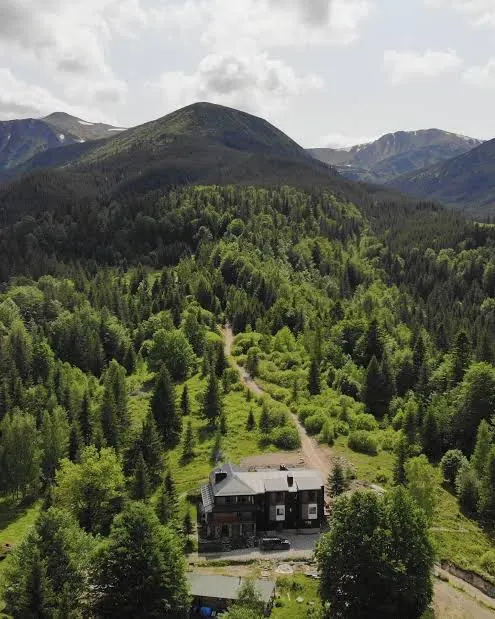
This is a pleasant way to finish a visit to Polikarya without rushing: watch the two streams first, then return calmly to the lift. Snowmelt in spring and early summer brings more water to Rzhanoy Creek and gives the fall a stronger presence. The short return leaves time to observe but does not include entering the water beneath the cascade.

1.0 km 223 +66 m Easy
✓ TrailTrack

Lisa to the Principal Făgăraș Ridge: Valley and Forest Approaches

Hiking · Multi-day

Begin in Lisa valley and follow its gradual change into open Făgăraș terrain. Choose a considered long approach where woodland navigation and an agreed upper exit matter more than collecting surrounding summits.

32.5 km 223 +3033 m Hard
Dzembronia towards Chufrova: From Saint Olga Church to the Upper Passages
✓ TrailTrack

Dzembronia towards Chufrova: From Saint Olga Church to the Upper Passages

Hiking · One-day

Begin beside Saint Olga Church and Dzembronia River before choosing a measured approach towards Chufrova. This village-side option differs from the named viewpoint journey above Cheremosh.

13.4 km 222 +1059 m Moderate
✓ TrailTrack

Path 222: Stempeljoch, Bettelwurfhütte and the Halltal Branches

Path 222: Stempeljoch · Hiking · Multi-day

The crossing links the actual Stempeljoch saddle and austere upper slopes with a Gothic chapel in the wooded valley. Climbing back to Bettelwurfhütte reveals Halltal from another side.

30.9 km 222 +1567 m Hard
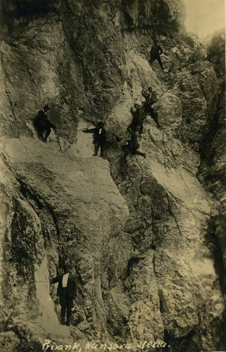
Down Mala Mojstrovka’s Hanzova Path: the Northern Equipped Descent
✓ TrailTrack

Down Mala Mojstrovka’s Hanzova Path: the Northern Equipped Descent

Hiking · One-day

Experience Mala Mojstrovka’s northern side from its equipped mountain path. The summit departure and movement over rock make the short fragment a substantial outing. Include it in an experienced mountain programme once the ascent and safe onward exit are established.

1.0 km 222 +0 m Hard
✓ TrailTrack

From Urlea Hut Ruins to the Principal Ridge: Curmătura Moșului and Urlea Mountain

Hiking · One-day

Reach Urlea through Curmătura Moșului and see neighbouring Șaua Urlea. The former hut gives the beginning a memory of mountain travel, while the upper side offers a distinct ridge outing.

6.0 km 222 +1101 m Moderate
Unspunnen and the Old Mill: Plattenweg through Wilderswil
✓ TrailTrack

Unspunnen and the Old Mill: Plattenweg through Wilderswil

Hiking · One-day

Unspunnen is associated with the famous Alpine shepherds’ festival, first held on the neighbouring meadow in 1805. The mill introduces another part of local history: water used for work. Together they make a short outing rewarding without a major mountain itinerary, with clear-weather views towards the Jungfrau massif at the ruins.

1.1 km 221 +57 m Easy
Arztal to Viggartal: the Extended Überfallgründl and Profeglalm Crossing
✓ TrailTrack

Arztal to Viggartal: the Extended Überfallgründl and Profeglalm Crossing

Hiking · One-day

Überfallgründl connects the Arztal and Viggar mountain sides, while Profeglalm provides a particular pastoral stop in the western portion. The extended day suits walkers prepared for repeated ascents and a settled exit from another valley.

12.0 km 221 +1330 m Moderate
✓ TrailTrack

Jerm’n: The Waterfall Ferrata and Hladnik-Side Descent

Hiking · One-day

See the Jerman waterfalls from a protected rocky passage. Water, bridges and the wall give experienced ferrata participants a distinct destination.

1.1 km 221 +140 m Hard
Palha Carga Uphill: from the 25 Fontes Levada to the Upper Junction
✓ TrailTrack

Palha Carga Uphill: from the 25 Fontes Levada to the Upper Junction

Hiking · One-day

Choose Palha Carga to follow a water-channel walk with a climb above Rabaçal. Leave time to linger on the lower side before finding your own uphill rhythm. Arrange both walking connections to the road beforehand so the climb can remain the focus of the day.

1.7 km 221 +474 m Moderate
Arico Nuevo via Tamadaya and Colorados Ravines to El Contador
✓ TrailTrack

Arico Nuevo via Tamadaya and Colorados Ravines to El Contador

Hiking · One-day

Link old Arico Nuevo Square with two actual ravines and the El Contador forest stop. Village exteriors and named upper houses give the ascent both historical and natural interest.

13.3 km 220 +0 m Hard
CIMA HU17: Escalona to Bestué via Puértolas by Bike
✓ TrailTrack

CIMA HU17: Escalona to Bestué via Puértolas by Bike

Bicycle · One-day

The Bestué climb combines a CIMA cycling objective with Puértolas. The roadside church gives a pause a distinct purpose even when the climb is the main aim.

12.2 km 220 +636 m Moderate
Greek Viewpoint: an extended woodland circuit on Achishkho’s spur
✓ TrailTrack

Greek Viewpoint: an extended woodland circuit on Achishkho’s spur

Hiking · One-day

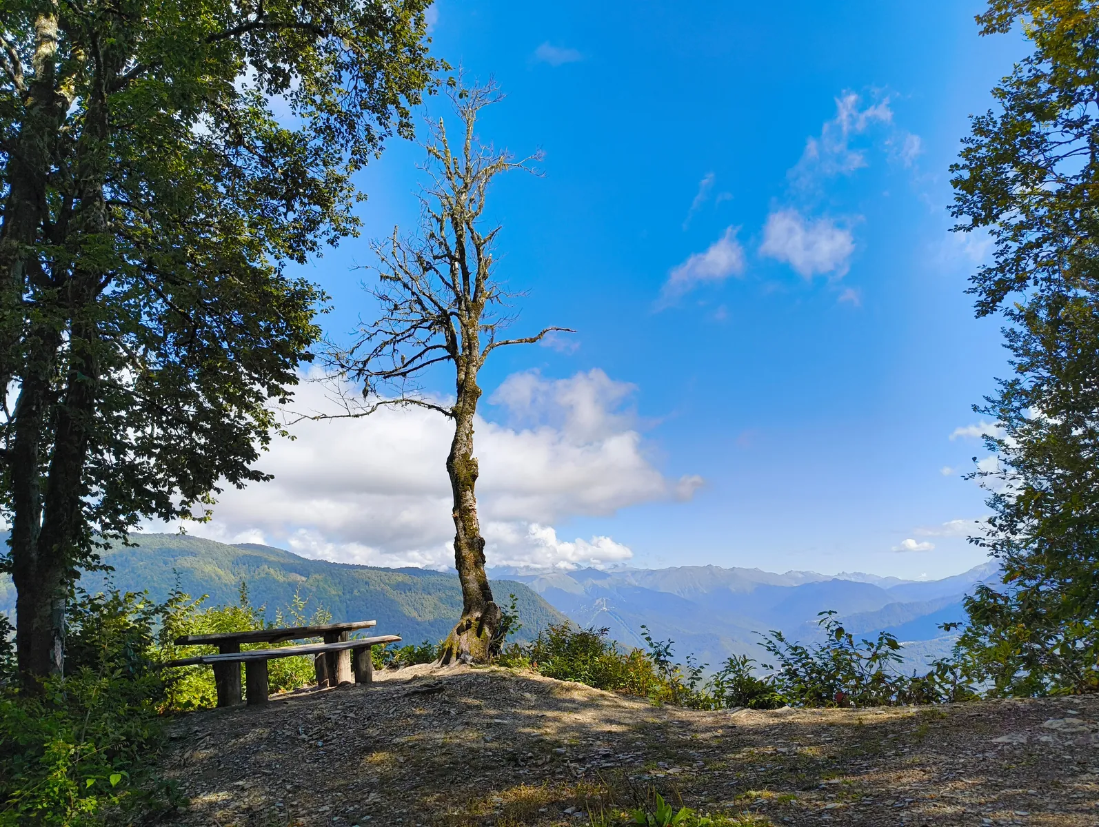
The Greek Viewpoint shows how Krasnaya Polyana sits between mountains while offering time on Achishkho’s wooded slope. With the full passage agreed, it suits walkers who enjoy quiet pauses and successive perspectives above the village.

13.8 km 220 +1584 m Moderate
Likani across the Woodland Ridge to Kvabiskhevi Canyon
✓ TrailTrack

Likani across the Woodland Ridge to Kvabiskhevi Canyon

Hiking · One-day

Kvabiskhevi gives the passage a definite natural objective. Linking two different valleys through mountain woodland suits walkers prepared for sustained effort and a careful descent.

14.8 km 220 +1096 m Moderate
Kårsafallen: A Woodland Walk to the Kårsajåkka Cascades
✓ TrailTrack

Kårsafallen: A Woodland Walk to the Kårsajåkka Cascades

Hiking · One-day

Visit Abisko’s small waterfalls without heading for a high summit. The appeal lies in the transition from birch woodland and wet-ground boardwalks to pines and the rushing Kårsajåkka. Choose it for a day among woods and streams.

3.8 km 220 +31 m Easy
Krylatskoye Olympic Cycling Course: A Ride through Both Circuits
✓ TrailTrack

Krylatskoye Olympic Cycling Course: A Ride through Both Circuits

Moscow region · Bicycle · One-day

Experience the sporting character of Krylatskoye Hills on a course created for Moscow’s Olympics. Climbs, descents and bends make an independent ride varied. It particularly suits cyclists interested in road riding within a working training environment.

13.7 km 219 +155 m Moderate
✓ TrailTrack

Forest circuit north of Yalta Plateau and crossing via Kemal-Egerek

Crimea · Hiking · Multi-day

Connect an actual woodland glade, Kemal-Egerek and Lapata summits and two distinct passes in a substantial walk. Woodland returns and the exposed mountain section provide different natural experiences.

96.4 km 219 +3697 m Hard
Warm Lake and the Ridge Junction below Dragon’s Tooth
✓ TrailTrack

Warm Lake and the Ridge Junction below Dragon’s Tooth

Hiking · One-day

Combine a close seasonal Tumannoe Lake approach with climbing towards the Dragon’s Tooth ridge side. The junction ending distinguishes this rocky approach from the additional summit ascent.

2.3 km 219 +485 m Hard
Through Gaborowa saddle to Starorobociański Wierch
✓ TrailTrack

Through Gaborowa saddle to Starorobociański Wierch

Hiking · One-day

This is a distinctive final ascent to Starorobociański. The saddle separates it from the neighbouring ridge junction, giving the summit its own presence. Clear weather lets its border position reveal the Western Tatras on both sides.

0.9 km 219 +259 m Moderate
Medvezhy Waterfall and Lower Aibga: towards the Polikarya Approach
✓ TrailTrack

Medvezhy Waterfall and Lower Aibga: towards the Polikarya Approach

Hiking · One-day

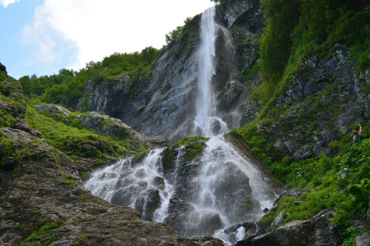
Medvezhy reveals mountain water sliding across inclined rock. The descent towards the lower slope connects the high cirque with woodland.

3.9 km 219 +128 m Moderate
Aibga: from the saddle into the third cirque
✓ TrailTrack

Aibga: from the saddle into the third cirque

Hiking · One-day

This version suits walkers who enjoy following a climb to a saddle with a gradual descent into a cirque. Looking back from the bowl gives the pass a different perspective, while the steep outline of Black Pyramid remains close at hand.

1.3 km 218 +121 m Moderate
Alazani Valleys around Omalo and Dochu: Tusheti Paths Requiring Crossing Checks
✓ TrailTrack

Alazani Valleys around Omalo and Dochu: Tusheti Paths Requiring Crossing Checks

Hiking · Multi-day

Explore Dochu’s houses and Tusheti’s river valleys beyond a brief sightseeing walk. The villages and Alazani remain appealing, but a complete crossing requires confirmation of a safe alternative to the destroyed bridges.

71.6 km 218 +5956 m Hard
✓ TrailTrack

Sullu-Boch to the Argut via Suluayry — a Katun Range Traverse

Altai · Hiking · Multi-day

For Sullu-Boch and Suluayry and the transition into the Argut valley. This is a distinct mountain section of a longer journey; Akkem Lake, Kara-Tyurek and Tyungur require other approaches and are outside this line.

51.1 km 218 +3511 m Hard
✓ TrailTrack

Path 218: Arzler Alm, Alpine Pastures and Törl towards Halltal

Path 218: Arzler Alm · Hiking · One-day

Actual alpine farms, Vintlalm meadows and the Törl crossing vary the wooded and open mountain scenery. The link between the southern Nordkette slopes and upper Halltal gives the outing its character.

15.0 km 217 +2088 m Moderate
Back Page 15 of 79 Next