TrailTrack routes

Маршруты с подготовленным описанием, сложностью, покрытием и планированием визита.

Found 1895 routes
Choose a route from the list or view routes on the map.
✓ TrailTrack

Mikaszówka to Grodno: August Velo and the Closed Crossing

Bicycle · Multi-day

Explore a historical cycle direction linking Polish village architecture with Belarusian Augustów Canal locks. While the crossing remains closed, select only an independently authorised portion with its own departure and ending.

70.7 km 289 +498 m Moderate
Raigorod on the Belarusian side: Pyshki, Gozha and Zatoka Lake
✓ TrailTrack

Raigorod on the Belarusian side: Pyshki, Gozha and Zatoka Lake

Raigorod on the Belarusian side: Pyshki · Bicycle · Multi-day

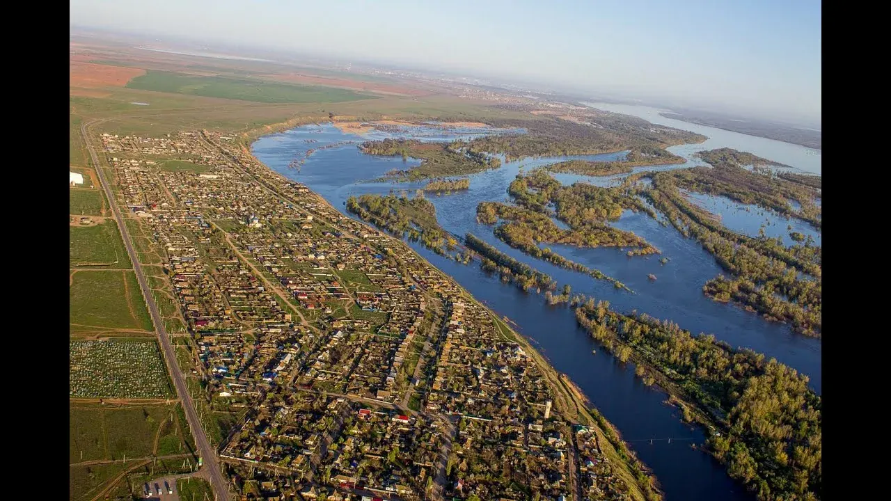
On permitted sections, Raigorod introduces northern Neman country through distinct stops: Gozha’s church and Zatoka Lake. The international Raigardas crossing is closed; choose a separate Belarusian-side outing with an agreed turnaround.

148.6 km 288 +990 m Hard
Borjomi Adventure Trail: Woodland Section beside the Sulfur Pools
✓ TrailTrack

Borjomi Adventure Trail: Woodland Section beside the Sulfur Pools

Hiking · One-day

The sulfur pools give the woodland outing a specific riverside objective. This short section reveals Borjomula beyond the familiar town promenade once access and the water crossing have been checked.

3.3 km 288 +488 m Moderate
China Wall from the Eastern Entrance — Stolby Orange Trail
✓ TrailTrack

China Wall from the Eastern Entrance — Stolby Orange Trail

China Wall from the Eastern Entrance · Hiking · One-day

Choose it for China Wall's distinctive shape and the Takmak district. Postpone the walk for now: the Eastern Entrance is closed, and orange markings alone do not establish an authorised itinerary.

4.5 km 288 +407 m Moderate
Tschingelhorn to the Lower Woodland Junction: Direct Mountain Descent
✓ TrailTrack

Tschingelhorn to the Lower Woodland Junction: Direct Mountain Descent

Hiking · One-day

The rear valley changes character from above to below, turning a mountain slope into a woodland passage. This descent provides another perspective on a day spent above Stechelberg.

2.3 km 287 +69 m Hard
Tanzbödeli to Busengrat: Lauterbrunnen’s Upper Terrace
✓ TrailTrack

Tanzbödeli to Busengrat: Lauterbrunnen’s Upper Terrace

Hiking · One-day

Tanzbödeli’s open terrace stands among steep Alpine slopes, inviting a pause to examine the mountain wall opposite without immediately continuing a long circuit. Include it in a planned outing when already in the upper valley and interested in this particular viewpoint.

0.7 km 287 +17 m Moderate
Sedoy Pass: Descending towards Cirque 3
✓ TrailTrack

Sedoy Pass: Descending towards Cirque 3

Hiking · One-day

Sedoy is a definite transition between the Aibga crest and Cirque 3. The passage gives its saddle and slope focused attention when the prior approach has already been arranged.

1.1 km 287 +39 m Easy
From Uzenbash-Bogaz via Captain’s Bridge to Yalta’s woodland side
✓ TrailTrack

From Uzenbash-Bogaz via Captain’s Bridge to Yalta’s woodland side

Crimea · Hiking · One-day

Connect Uzenbash-Bogaz Pass and Captain’s Bridge viewpoint during a descent above Yalta. Ridge views and the gradual transition to woodland provide the main interest.

5.8 km 286 +54 m Moderate
Comb Gill in Whinlatter: Woodland Branches through Black Gill
✓ TrailTrack

Comb Gill in Whinlatter: Woodland Branches through Black Gill

Hiking · One-day

Spend a quiet part of the day among Whinlatter’s woodland streams. Black Gill and Comb Gill offer specific places for brief stops, while lower and upper passages reveal the forest slope’s shape. Visit the forest centre or café separately afterwards when open.

3.7 km 286 +212 m Moderate
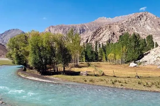
Archamaydon Valley: from the Sarmad towards Ghazza
✓ TrailTrack

Archamaydon Valley: from the Sarmad towards Ghazza

Hiking · One-day

To experience the Fann Mountains through a river valley and its farming life. The cultivated patches beside the Archamaydon reveal a different side of the region from its high passes and lakes.

12.7 km 286 +0 m Moderate
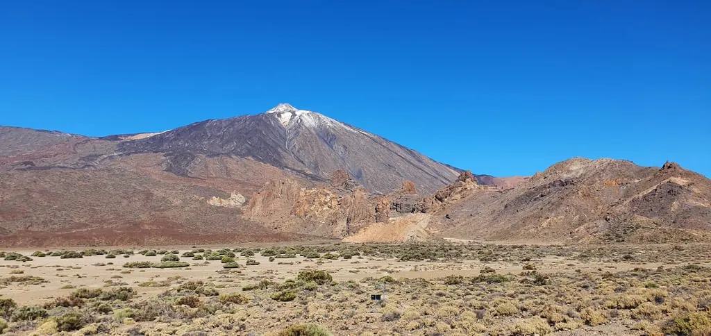
Puerto de Santiago to Teide and Vilaflor’s Pines, Returning to Los Gigantes
✓ TrailTrack

Puerto de Santiago to Teide and Vilaflor’s Pines, Returning to Los Gigantes

Puerto de Santiago to Teide and Vilaflor’s Pines · Car · One-day

Compare Archipenque’s ocean perspective, La Rambleta’s volcanic upper area, Roques de García rock forms and Vilaflor’s old pines. Road transfers connect different island settings with independently planned walking stops.

127.8 km 284 +4472 m Moderate
Grünegger Runde: Woodland Arcs and the Milser Biotope
✓ TrailTrack

Grünegger Runde: Woodland Arcs and the Milser Biotope

Hiking · One-day

The small biotope gives the forest walk a focus for attentive nature observation. Different woodland arcs vary the path scenery while remaining close to Mils.

3.5 km 284 +201 m Moderate
✓ TrailTrack

Rudno Polje to Lipanca: The Woodland Approach with Retraced Sections

Hiking · One-day

Reach Lipanca from Rudno Polje through Pokljuka’s wooded localities. The hut gives the outing a clear destination without a compulsory Viševnik or Debela Peč ascent.

10.4 km 284 +791 m Moderate
Sestroretsk Marsh from Beloostrov: A Boardwalk Circuit and Three Viewing Places
✓ TrailTrack

Sestroretsk Marsh from Beloostrov: A Boardwalk Circuit and Three Viewing Places

Saint Petersburg and Leningrad Region · Hiking · One-day

See Sestroretsk Marsh from several actual viewing places and follow the transition from woodland to open wetland. Beloostrov departure makes the railway approach part of a complete outing, while boardwalk pauses allow unhurried observation of an unusual landscape.

7.6 km 283 +76 m Moderate
Untere Goldey beside the Aare: a Short Unterseen Pause
✓ TrailTrack

Untere Goldey beside the Aare: a Short Unterseen Pause

Hiking · One-day

The Aare gives this short passage a clear identity: an unhurried moment by the water rather than an extensive town tour. Choose it for a brief riverbank visit without a mountain ascent. Add Unterseen’s old centre or Höheweg separately afterwards.

0.2 km 283 +1 m Easy
Summer Lauberhorn: Extended Passage from Kleine Scheidegg towards Allmend
✓ TrailTrack

Summer Lauberhorn: Extended Passage from Kleine Scheidegg towards Allmend

Hiking · One-day

The starting house and real race panels turn the mountain outing into an exploration of Lauberhorn history. Walking slowly makes the scale of the winter descent easier to appreciate.

9.8 km 283 +797 m Moderate
Natters to Natterer Lake by Bicycle via Lausbodenkreuz
✓ TrailTrack

Natters to Natterer Lake by Bicycle via Lausbodenkreuz

Bicycle · One-day

Lausbodenkreuz provides a particular forest-side stop, followed by the lake approach at the end of the Natters bicycle direction. It offers an unhurried look at village surroundings and water after checking finish-side access.

5.5 km 283 +245 m Moderate
✓ TrailTrack

Kranjska Gora to Rateče: Cycling and Village Heritage

Bicycle · One-day

Connect the valley cycle path with exterior views of Rateče’s church and monument. The ride explores settlement heritage beneath the mountains without climbing a high summit.

12.5 km 283 +210 m Moderate
Maiden Braids: from Terskol to the Basalt Waterfall
✓ TrailTrack

Maiden Braids: from Terskol to the Basalt Waterfall

Hiking · One-day

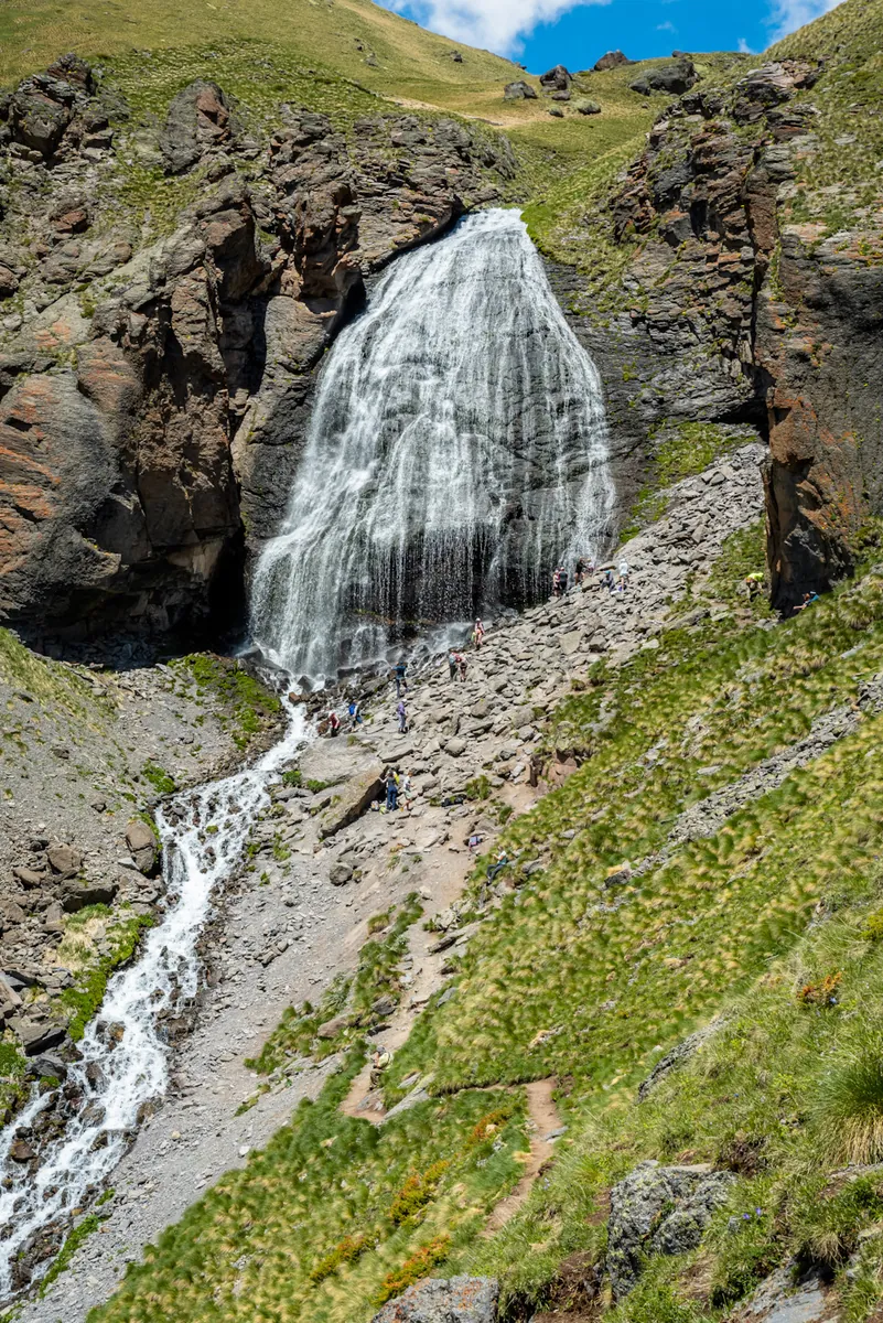
The interest lies in the way the basalt slope itself separates the water into many fine strands. Maiden Braids provides a clear ascent destination followed by a return to the village without continuing higher into the mountains.

5.1 km 282 +1021 m Moderate
Bödeli with Lakeside Returns: the Bönigen–Gsteig–Unterseen Cycling Circuit
✓ TrailTrack

Bödeli with Lakeside Returns: the Bönigen–Gsteig–Unterseen Cycling Circuit

Gravel and dirt · One-day

Bödeli lets you compare two celebrated Bernese Oberland lakes and smaller waters between them within one ride. Pause beside the water at Bönigen, examine Gsteig’s medieval building and exchange the lakeside for Unterseen’s old streets. Choose it for a varied exploration around Interlaken with short stops between cycling sections.

26.6 km 282 +681 m Easy
Blauherd to Tufteren: The Flower Trail
✓ TrailTrack

Blauherd to Tufteren: The Flower Trail

Hiking · One-day

Tufteren combines botanical interest with the distinctive architecture of a mountain hamlet. The interpretation panels invite unhurried flower observation without collecting plants.

2.4 km 282 +16 m Easy
Leirvik towards Folldal: cycling through ferry crossings and Sognefjellet
✓ TrailTrack

Leirvik towards Folldal: cycling through ferry crossings and Sognefjellet

Gravel and dirt · Multi-day

Connect Leirvik’s marine beginning, the Lustrafjord ferry and the actual high Fantesteinen pass. Shores followed by Sognefjellet create a vivid natural sequence, while the long inland continuation needs an independent touring plan.

786.1 km 281 +636 m Hard
✓ TrailTrack

Extended Sunny Trail circuit from Gaspra towards Livadia and back

Crimea · Hiking · One-day

Connect the historic pavilion, a stone attraction beside the trail and an actual Taurian tomb site while walking between the Gaspra and Livadia sides. Side branches and the return reveal more of the surrounding slope.

19.2 km 280 +1039 m Moderate
✓ TrailTrack

HRP 15.1: Ossoue via Espécières and Boucharo to Sarradets

Hiking · One-day

Espécières, Boucharo and Sarradets form a sequence of distinct mountain places. This approach reveals the western edge of the Gavarnie area without requiring a Taillon summit ascent.

17.3 km 278 +1718 m Moderate
Back Page 7 of 79 Next