TrailTrack routes

Маршруты с подготовленным описанием, сложностью, покрытием и планированием визита.

Found 1895 routes
Choose a route from the list or view routes on the map.
Kharginsky Forest to Verkhneye Lake and the lakeshore farms
✓ TrailTrack

Kharginsky Forest to Verkhneye Lake and the lakeshore farms

Hiking · One-day

Once access is confirmed, this section connects Aibga’s quieter forest side with Rosa Khutor’s lively lakeshore. Shishin Dvor adds a story of mountain household traditions and farming; the Deer Farm offers a separate encounter with its residents. Visits are not automatically included in the walk. You can simply follow the shore and keep a relaxed return pace.

6.2 km 242 +184 m Moderate
Through Cavalo to Rabaçal: the Water Tunnel and Levada House
✓ TrailTrack

Through Cavalo to Rabaçal: the Water Tunnel and Levada House

Hiking · One-day

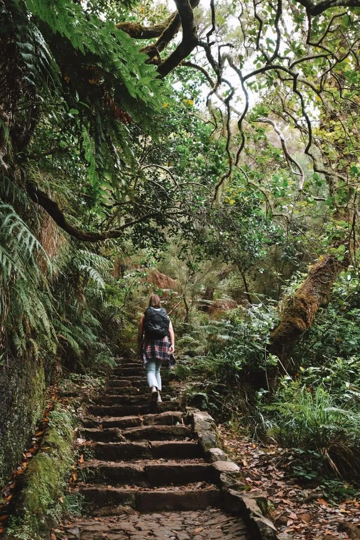
Choose this route for the experience of walking through the mountain: water engineering becomes part of the outing. At Rabaçal, the exhibition can add context if the centre is open. Take the tunnel at an unhurried pace, then choose any further walks according to your remaining energy.

2.6 km 242 +185 m Moderate
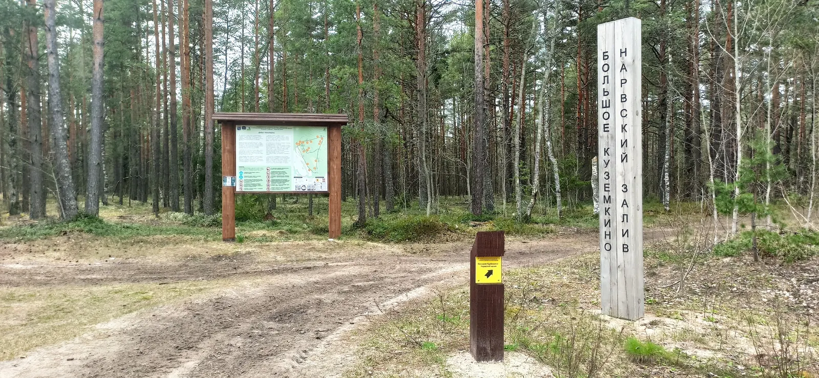
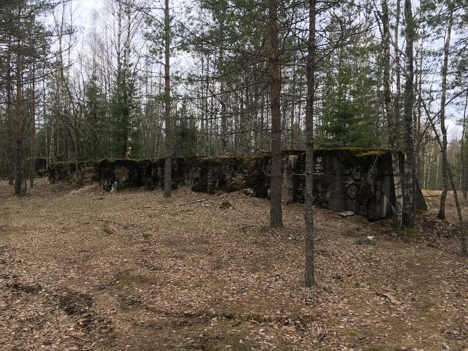
Bolshoye Kuzyomkino to the Bay: Fortifications and Southern Return Branches
✓ TrailTrack

Bolshoye Kuzyomkino to the Bay: Fortifications and Southern Return Branches

Saint Petersburg and Leningrad Region · Hiking · One-day

Combine the actual Narva Bay shore with woodland exploration beside the Bolshoye Kuzyomkino defensive position. The outing brings coastal nature and traces of military engineering together in one walk.

15.1 km 241 +56 m Moderate
Summayarvi: Million Fortress, Poppius and Historic Fortifications
✓ TrailTrack

Summayarvi: Million Fortress, Poppius and Historic Fortifications

Sj5 «Миллионер» · Hiking · One-day

With confirmed official admission, compare Million Fortress, Poppius, Torsu and Sj7 Concrete Trench at the historical locations. This outing suits an interest in Karelian Isthmus fortifications and needs organisation before travel.

9.6 km 241 +59 m Moderate
Lower Hundsøyra approach: Markjelke beside Svartedalsvatnet
✓ TrailTrack

Lower Hundsøyra approach: Markjelke beside Svartedalsvatnet

Hiking · One-day

View Svartedalsvatnet mountain reservoir from the lower Hundsøyra approach. The rocky hillside and gradual separation from the road convey the beginning of a larger high-mountain journey without promising the summit.

1.8 km 240 +324 m Moderate
Burgfeldweg through Nasses Tal to the Axamer Bach
✓ TrailTrack

Burgfeldweg through Nasses Tal to the Axamer Bach

Hiking · One-day

Follow a small woodland transition through a specific valley beside the Axamer Bach. This quiet direction introduces Birgitz’s lower natural surroundings, with an independent return plan.

1.9 km 240 +119 m Moderate
✓ TrailTrack

Bunyola and Coll d’Honor: A Climb and Return Ride

Bicycle · One-day

Combine a pause in Bunyola with a climb to a definite mountain pass. Look around the square and Sant Mateu before settling into a steady climbing rhythm. On the return, the town becomes a familiar conclusion, with the same landmarks you noticed in the morning.

13.3 km 240 +616 m Hard
✓ TrailTrack

Central Pillars — Elephant Rock, Grandfather and Feathers: the Old Blue Variant

Central Pillars · Hiking · One-day

Elephant Rock, First Pillar, Grandfather, Feathers and Lion’s Gate introduce the Central Pillars’ best-known forms. Visit on the park’s approved walk today; the complete old Blue variant has not been confirmed as authorised.

3.9 km 240 +308 m Moderate
Scharnitz via Pfeishütte and Stempeljoch towards Halltal
✓ TrailTrack

Scharnitz via Pfeishütte and Stempeljoch towards Halltal

Hiking · Multi-day

Connect close gorge water with a high alpine hut and a specific mountain pass. Two named viewpoints, Möslalm and Pfeishütte’s exterior provide distinct pauses across different mountain settings.

50.6 km 239 +3195 m Hard
Otovitsa, Kabul and Otovishki Peak: an Extended Journey with Return Passages
✓ TrailTrack

Otovitsa, Kabul and Otovishki Peak: an Extended Journey with Return Passages

Otovitsa · Hiking · Multi-day

Explore northwestern Rila through its forest valleys and upper crests. Kabul and Otovishki Peak provide specific mountain destinations, with Otovitsa Stream linking them to the lower approach. Return passages add to the journey, making this a version for walkers willing to spend more time in the area and arrange overnight and finish connections separately.

27.6 km 239 +3133 m Hard
Medoveyevka with woodland returns and an Efremov Viewpoint finish
✓ TrailTrack

Medoveyevka with woodland returns and an Efremov Viewpoint finish

Hiking · Multi-day

This extended exploration combines mountain streams with Yuri Efremov’s memory on Monashka. Choose it to study the wooded valleys gradually before a final pause above Krasnaya Polyana, dividing the effort into independent day outings.

53.1 km 239 +4042 m Moderate
Little Golden Eagle from the Eastern Entrance — Red Trail in the Takmak District
✓ TrailTrack

Little Golden Eagle from the Eastern Entrance — Red Trail in the Takmak District

Little Golden Eagle from the Eastern Entrance · Hiking · One-day

For Little Golden Eagle's striking outline and another side of the Takmak district. Postpone the hike: the Eastern Entrance is closed, and the old red designation does not establish permission to walk.

6.4 km 239 +599 m Moderate
✓ TrailTrack

The French Road to Maly Babulgan via Kurlyu-Burun Pass

Crimea · Hiking · One-day

Follow the historic French Road through Kurlyu-Burun Pass and across the Khovalykh side. Tekne Spring connects the northern approach with the area’s water geography without promising an operating visitor service.

4.5 km 238 +357 m Moderate
Raduzhnoe and Lazurnoe with Extended Sleeping Sayan Pass Approaches
✓ TrailTrack

Raduzhnoe and Lazurnoe with Extended Sleeping Sayan Pass Approaches

Hiking · One-day

Reach Raduzhnoe and Lazurnoe through identifiable passes and pause at Sleeping Sayan Hair for the Bolshoy Kebezh valley. The additional Artists-1 approach distinguishes this outing from a direct inter-lake path.

14.3 km 238 +2149 m Hard
Schynige Platte and Daube: Extended Panorama Circuit above Lake Brienz
✓ TrailTrack

Schynige Platte and Daube: Extended Panorama Circuit above Lake Brienz

Hiking · One-day

Daube brings high mountains and the valley lake into one view. Repeated panorama passages make room for changing light and an independently paced mountain day.

7.4 km 238 +627 m Moderate
Achipse Fortress: Woodland Approaches to the Estosadok Ruins
✓ TrailTrack

Achipse Fortress: Woodland Approaches to the Estosadok Ruins

Hiking · One-day

See the surviving Achipse Fortress in its wooded setting and consider how the fortifications occupy the ridge above the valley. The interest lies in the historical remains without a promise of restored rooms or exhibitions.

2.5 km 238 +363 m Moderate
Metropolitan Road: Two Woodland Sections from Dmitrovskoye towards Aksinyino
✓ TrailTrack

Metropolitan Road: Two Woodland Sections from Dmitrovskoye towards Aksinyino

Moscow region · Hiking · One-day

Explore two surviving directions of the Metropolitan Road, see Dmitrovskoye’s Church of St Demetrius from the road side, and walk from village surroundings into woodland. The former metropolitan estate’s history relates to an actual old passage followed here, beyond accounts of distant monuments.

7.9 km 237 +49 m Moderate
Aibga through Waterfall Canyon towards Krasnaya Polyana
✓ TrailTrack

Aibga through Waterfall Canyon towards Krasnaya Polyana

Hiking · One-day

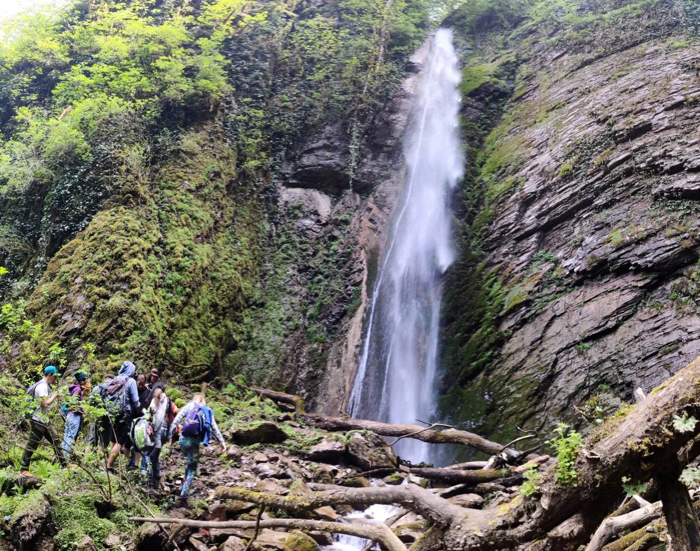
Waterfall canyon reveals another side of Aibga and the natural walking connection between its remote village and Krasnaya Polyana. Valleys and wooded slopes change through the day, with a definite stop beside the canyon river.

16.0 km 237 +632 m Hard
Yuryev Khutor cirque to Tundra: a guided descent
✓ TrailTrack

Yuryev Khutor cirque to Tundra: a guided descent

Hiking · One-day

Yuryev Khutor offers a close look at a mountain cirque during an organised outing. Its bowl shape, hillside shadows and possible summer snow patches draw attention beyond the wider view of Aibga. A resort guide helps set a comfortable pace and keeps the visit within the permitted trail.

1.2 km 237 +10 m Moderate
Siwa Polana to Chochołowska: rock gates, pastoral meadow and mountain hut
✓ TrailTrack

Siwa Polana to Chochołowska: rock gates, pastoral meadow and mountain hut

Siwa Polana to Chochołowska: rock gates · Hiking · One-day

Chochołowska gives a walk a clear sequence: from the lower meadow, through rock gates, to a historic pastoral landscape. It appeals to visitors who want a day in the valley ending at a genuine mountain hut, while retaining time for the return.

6.5 km 237 +256 m Moderate
✓ TrailTrack

Pessegueiros with Returns: from Paul da Serra to the North-Coast Road

Hiking · One-day

The upper approaches introduce Pessegueiros through the watercourses of Terra Chã. The day follows a passage from the plateau towards Madeira’s northern slope. Choose the full version after checking the old link; for a first visit, agree an accessible section and return to the upper road with a local guide.

16.7 km 237 +696 m Hard
From Fafleralp along the Lonza: an Upper Walk towards Jegi Bach
✓ TrailTrack

From Fafleralp along the Lonza: an Upper Walk towards Jegi Bach

Hiking · One-day

The Lonza reveals the shape of this Alpine valley as the walk encounters it in different places and gradually gains the higher surroundings above Fafleralp. Choose this outing to explore the upper Lötschental without assuming it reaches a glacier or mountain hut. A clear day leaves time to enjoy the permitted river crossings.

4.5 km 236 +391 m Moderate
Kaiserjäger from Tre Sassi: the Suspension Bridge and Piccolo Lagazuoi Ridge
✓ TrailTrack

Kaiserjäger from Tre Sassi: the Suspension Bridge and Piccolo Lagazuoi Ridge

Hiking · One-day

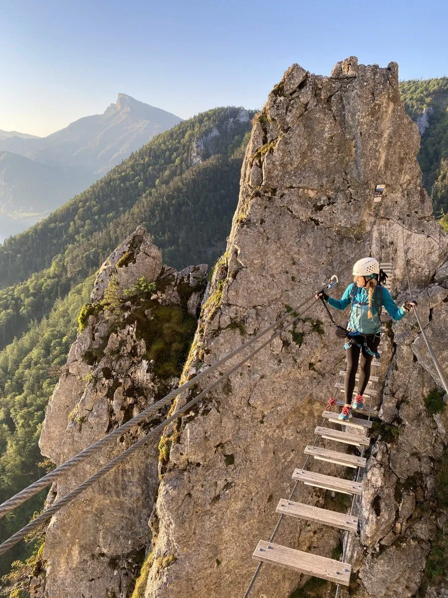
Connect a historic fort and military shelters with an equipped mountain ascent on Lagazuoi. The suspension bridge is a memorable episode, while the open ridge offers a pause above the valleys after the rock sections. Prepared participants can explore the mountain front in its actual landscape.

2.7 km 236 +670 m Hard
Khrustalny Waterfall: Forest Paths above the Old Road
✓ TrailTrack

Khrustalny Waterfall: Forest Paths above the Old Road

Видовая точка · Hiking · One-day

The cascade rewards attention to its rock wall and streams in a woodland setting. The forest approach is a substantial part of the outing.

6.5 km 236 +226 m Moderate
Back Page 12 of 79 Next